
Wegenkaart - landkaart Idaho, Montana & Wyoming | ITMB
Een degelijke kaart met aanduidingen van o.a. nationale parken, vliegveld, benzinepompen.
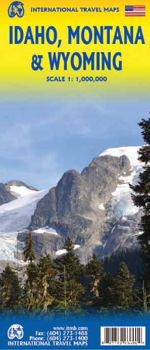
The northern mountain states of the USA are now the most recent portion of ITMB’s re-mapping of the USA for travel. We had to include a small portion of Washington State and Oregon, due to the shape of Idaho, but the double-sided sheet covers the three states with very little room left over. Side 1 stretches from the Alberta border to Salt Lake City, in Utah, and from west of Spokane to Helena, MT. The 2nd side covers from the Canadian border south to Cheyanne, and is essentially a map of Montana and Wyoming. As such, this is the most detailed map of this region of the USA ever published, and pretty much completes our mapping of the western half of the continental USA. We have also added a new feature – a list of the most popular sites – for those with limited time, showing such well-known features as Glacier National Park and the Buffalo Bill Center of the West. We would be happy to expand this list, which highlights the top attractions with a red box.
Legend Includes:
Roads by classification, Railways, Attractions, Hotels, Point of interest, Airports, Tourist information, Hospitals, Shopping centre, and much more.
€ 13,95
Verzendkosten: € 2,95Specificaties
Merk:
n.b.
EAN:
Je bestelt bij:
De Zwerver
Categorie:
Subcategorie:
Maat:
n.v.t.
Materiaal:
n.v.t.
Levertijd:
Aantal beschikbaar:
n.b.
Verkoopprijs
€ 13,95
Prijzen vanaf:
n.v.t.
Verzendkosten:
€ 2,95
ISBN:
9781771293600
Editie:
15-05-2024
Uitgever:
ITMB
Beschrijft het volgende gebied:
Noord-Amerika - Verenigde Staten van Amerika - Wyoming
Taal:
Direct bestellen: