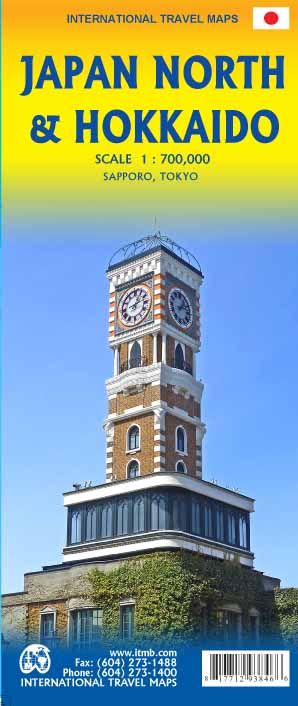
Wegenkaart - landkaart Japan North & Hokkaido | ITMB
Een degelijke kaart met aanduidingen van o.a. nationale parken, vliegveld, benzinepomp, dirt-roads en kleine plattegrond van hoofdstad. Als overzichtskaart goed te gebruiken.
In one sense, this is a brand new map, in that the artwork is all brand new. In another sense, it is our map of Hokkaid re-worked into a more marketable format. In any case, it is a very much-needed sectional map of that portion of Japan from Tokyo northwards. Hokkaido is actually one of the most interesting parts of Japan to visit. The island was opened to settlement only after the Ameicans forced Japan to allow contacts with foreign countries in 1868, thanks to Admiral Peary and Gunboat Diplomacy. Hokkaido has been relatively untouched by Japan’s rush to economic dominance, so is the country’s skiing capital in winter and the part of Japan most similar to America. An inset map of Sapporo is included. The other side shows the main island of the country from Nagoya and Toyama (which are considerably west of Tokyo) through Tokyo itself (inset map included) north all the way to Aomori and the tunnel to Hokkaido. All known touristic sites are included, as well as the famous Shinkensen rail lines (and regular rail lines as well), motorways, all main and secondary highways, and everything is shown at a better scale that would be possible on our Japan map. ITMB also publishes a map of the southern portion of the country, called Kyoto and Southern Japan. This map is printed on paper, double-sided.
€ 13,95
Verzendkosten: Zie website leverancierNu bestellen bij De Zwerver

