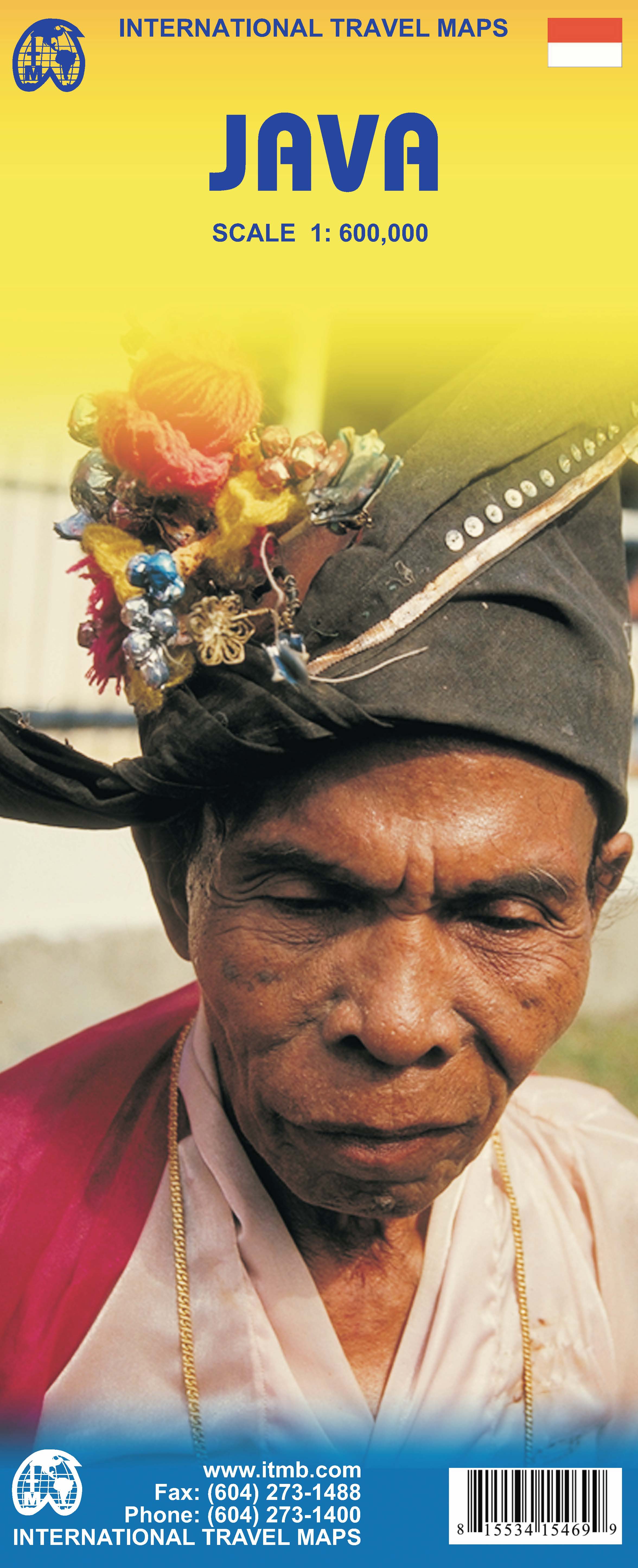
Wegenkaart - landkaart Java | ITMB
Indonesia is a huge and varied country of many islands and many cultures. The Javanese dominate the country. Not only is the island centrally located, but the rich soil and hard-working people has turned the island into the economic powerhouse driving the country’s economy. Indonesia’s capital, Jakarta, is located on the island’s north shore, and is the subject of a separate ITM map. This map concentrates on the island’s many charms: the temples of Yogyakarta, the colonial architecture of Surabaya, and the rustic charm of mountainous East Java. The map abounds in insets, including central Jakarta at 1:25 000, but also Cirebon, Bandung, and Solo, Semarang, Surabaya, Yogyakarta, Malang, and Yoga to Prambanan at 1:90,000, and the Dieng Plateau at 1:35,000. The famous island of Krakatoa is also included. This map is double-sided (east/west).
Roads by classification, ferry route, ruins, bird sanctuary, national parks, volcanoes, non-active volcanoes, hotel, surfing, beaches, waterfalls, hindu temples, buddist temples, mosques, bus terminal, museums, shopping centres, tourist information, points of interest and other information.
€ 13,95
Verzendkosten: Zie website leverancierNu bestellen bij De Zwerver

