
Wegenkaart - landkaart Mauritania - Mauritanië en Westelijke Sahara | Gizi Map
Tweetalig
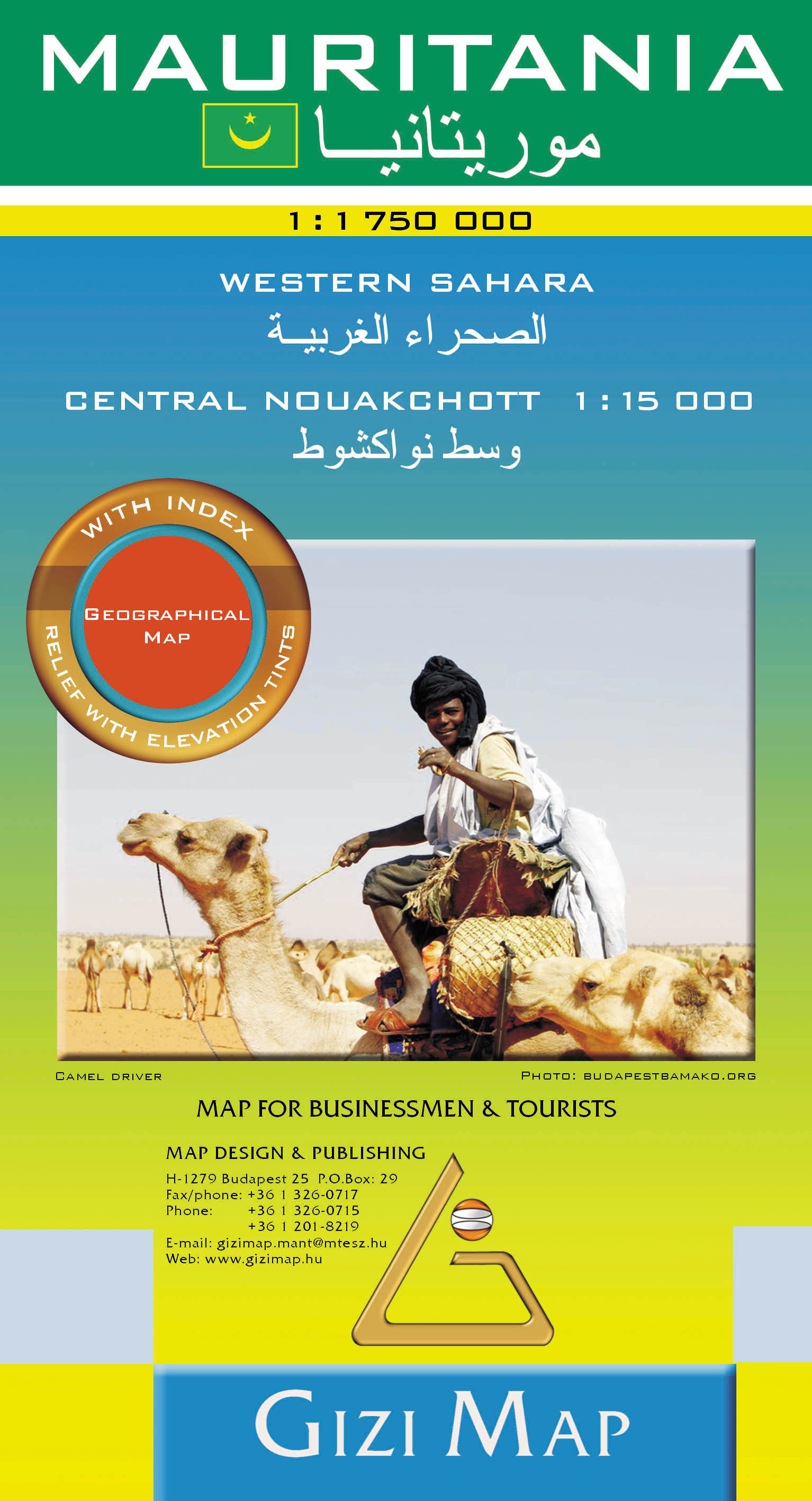
Mauritania and Western Sahara with excellent topographic information on an indexed map with a street plan of central Nouakchot. Vivid altitude colouring with graphics for deserts, flood plains and salt flats shows the terrain. Oases, water wells and numerous spot heights are marked and the map provides plenty of names of geographical features: peaks, mountain chains and rock outcrops, plains, etc.
Road network shows distances on main roads and includes dirt tracks. The map also shows locations of local airfields and the route of the iron ore railway line from the mines at Zouérat to the coast. Symbols highlight various places of tourist interest including world heritage sites, forts and archaeological remains, national parks and protected areas, beaches, etc.
Names of main towns and important geographical features are also given in Arabic. Internal administrative boundaries are shown with names of the provinces. The map had latitude and longitude lines at intervals of 1º. Map legend includes English. The index lists separately locations in Mauritania, Western Sahara, plus the adjoining regions of Mali and Senegal. Also included is a plan of central Nouakchott indicating main public buildings, hotels and various facilities.
€ 15,95
Verzendkosten: € 2,95Specificaties
Merk:
n.b.
EAN:
Je bestelt bij:
De Zwerver
Categorie:
Subcategorie:
Maat:
n.v.t.
Materiaal:
n.v.t.
Levertijd:
Aantal beschikbaar:
n.b.
Verkoopprijs
€ 15,95
Prijzen vanaf:
n.v.t.
Verzendkosten:
€ 2,95
ISBN:
9789638746559
Editie:
None
Uitgever:
Gizi Map
Beschrijft het volgende gebied:
Afrika - Mauretanië -
Taal:
Engels
Direct bestellen: