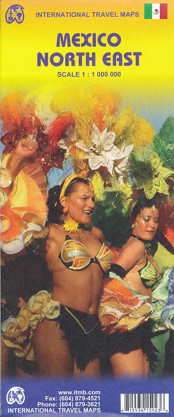
Wegenkaart - landkaart Mexico North East | ITMB
Mexico is one of our favourite places to visit, and is also very popular with American travelers. The five states that border Texas – Coahuila, Nuevo Leon, Tamaulipas, Zacatecas, and San Luis Potosi may not be well-known internationally, but Monterrey (the third largest city in Mexico), Nuevo Laredo, Matamoros, Torreon, Tampico, Aguascalientes, and Ciudad Victoria evoke images of the Mexico of ranches and vast distances. This is actually a fertile and economically developing part of the country, bordered by the Gulf of Mexico on the east, Texas on the north, and ITMB’s maps of Central Mexico on the south and our new map of Sonora and Chihuahua States on the west. This is an excellent map for cross-border expeditions; printed single-sided, on paper, showing main and secondary road connections, rail lines, gas stations in smaller towns, and whatever tourist attractions we were able to locate.
Legend Includes:
Airports, roads by classifications, distances between points, gas station, point of interests, archaeological sites, hypsography and other information.
€ 13,95
Verzendkosten: Zie website leverancierNu bestellen bij De Zwerver

