
Wegenkaart - landkaart National Park Pocket Map Snowdonia | Collins
Duidelijke pocket wandelkaart met belangrijke toeristische informatie, bezienswaardigheden, campeerplekken e.d.
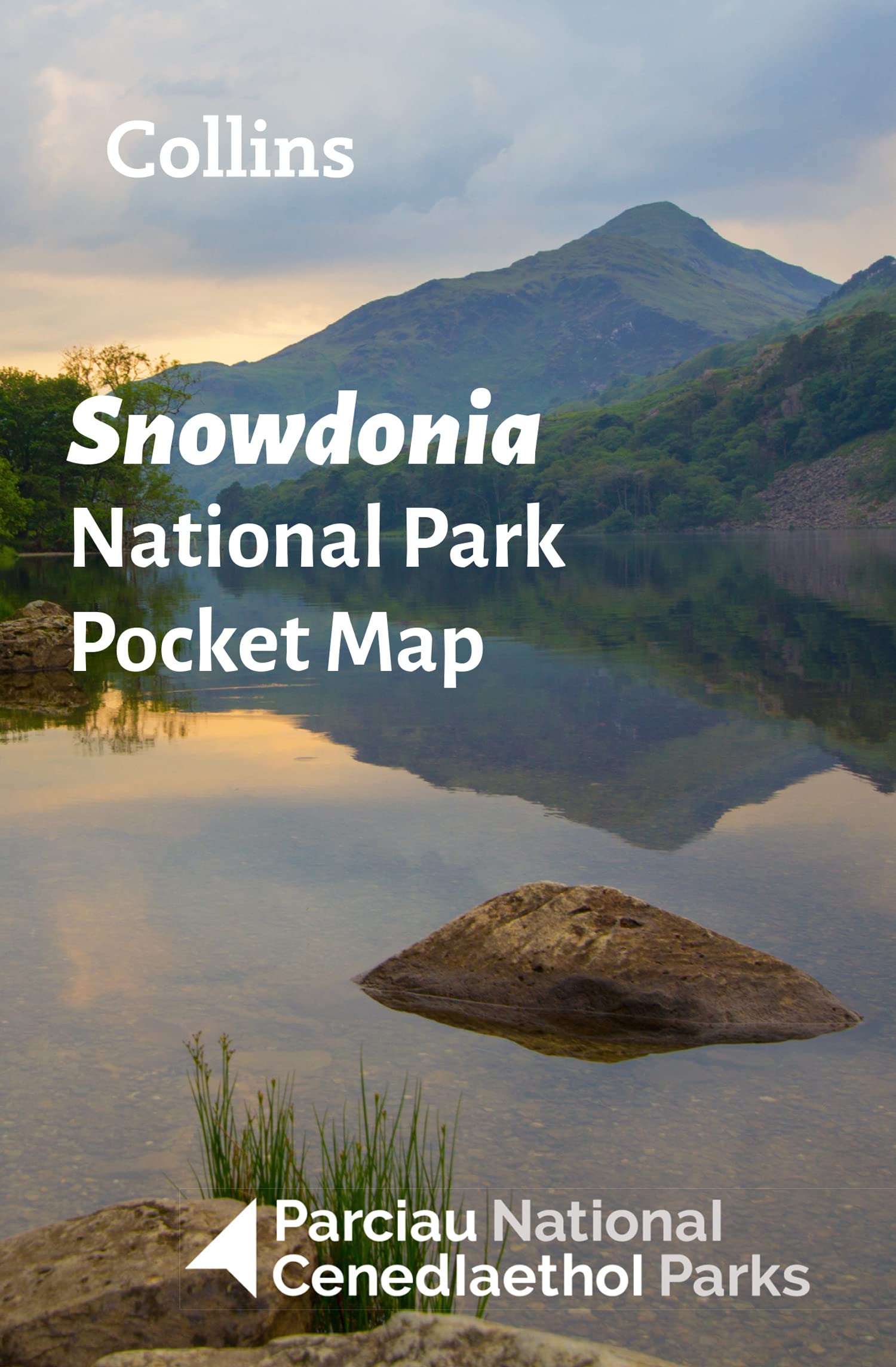
Handy little full colour map and guide of Snowdonia National Park.
Detailed mapping and visitor information to the National Park along with a selection of photographs. Map at a scale of 1:119 000 (1.2cm to 1km, 1.9 miles to 1 inch).
This small map with additional text and photographs gives a great overview of the Snowdonia National Park, and is the perfect companion for exploring this beautiful area of North Wales.
Clear, detailed mapping
Key park, tourist and travel information
Ideal for planning visits to the National Park
Index to help locate and plan your trip
Information on historic railways, stargazing, mountain biking and places of interest
€ 7,95
Verzendkosten: € 2,95Specificaties
Merk:
n.b.
EAN:
Je bestelt bij:
De Zwerver
Categorie:
Subcategorie:
Maat:
n.v.t.
Materiaal:
n.v.t.
Levertijd:
Aantal beschikbaar:
n.b.
Verkoopprijs
€ 7,95
Prijzen vanaf:
n.v.t.
Verzendkosten:
€ 2,95
ISBN:
9780008439224
Editie:
2022
Uitgever:
Collins
Beschrijft het volgende gebied:
Europa - Engeland - Wales
Taal:
Direct bestellen: