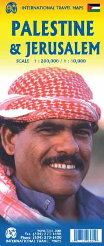
Wegenkaart - landkaart Palestine & Jerusalem - Palestina | ITMB
This is a new title for ITMB and the first time a separate map for that portion of the area known as Palestine and controlled by Palestinians has been published. This is essentially an attempt to show a political reality that exists, in that no one denies that both the West Bank and the Gaza Strip exist, albeit as a tightly-controlled entity that is not a country in the traditional sense of the word but is, nonetheless the homeland of millions of people and a self-governing entity. Jerusalem has been shown as an entity, without a border, in order to emphasize its importance as a unifying point of three great religions. Barricades do exist within the city, but these exist mostly to prevent clashes and reduce frictions, and we prefer to concentrate our hopes for Jerusalem as a future symbol of unity. Geographically, to fit both the southerly Gaza Strip area and the northerly West Bank portion together, it has been necessary to include large portions of Israel proper. The border has been shown for purposes of illustration only and in a generalized manner to represent reality and is not intended to indicate what would normally be a properly-defined border between nation states. This part of the world has been called Palestine since Roman times and until a more representative name can be created, we are stuck with using a name that is acceptably used to describe this part of the world. Sometimes, one has to go beyond what is comfortably safe and do something new. ITMB has been doing this since 1983; this is just another leap of faith.
€ 13,95
Verzendkosten: Zie website leverancierNu bestellen bij De zwerver

