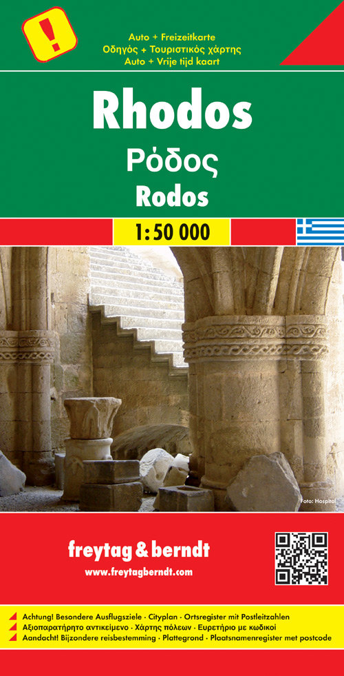
Wegenkaart - landkaart Rhodos | Freytag & Berndt
Freytag & Berndt kaarten op schaal 1:50.000 (of kleiner) zijn zeer overzichtelijk, wandelpaden werden erop ingekleurd, ze bevatten voldoende details om een wandeltocht in te schatten en worden meestal geleverd met een wandelgids waarin beknopte gegevens van wandelingen naar almen en hutten terug te vinden is alsook heel wat nuttige toeristische informatie en een tabel met GPS-punten.
Rhodes on a large indexed map from Freytag & Berndt, including a booklet with multilingual descriptions of the island’s main sights. Although the scale is 1:50,000 and the map is contoured, it is better suited for exploring the island by car rather than for hiking.
Coverage includes Symi and Halki with Alimia, shown on separate insets. Contours enhanced by bold relief shading and colouring indicating woodlands show the topography. Road network includes local tracks and gives distances on most routes. Scenic routes are prominently highlighted.
€ 14,95
Verzendkosten: Zie website leverancierNu bestellen bij De Zwerver

