
Wegenkaart - landkaart Roman Britain | Ordnance Survey
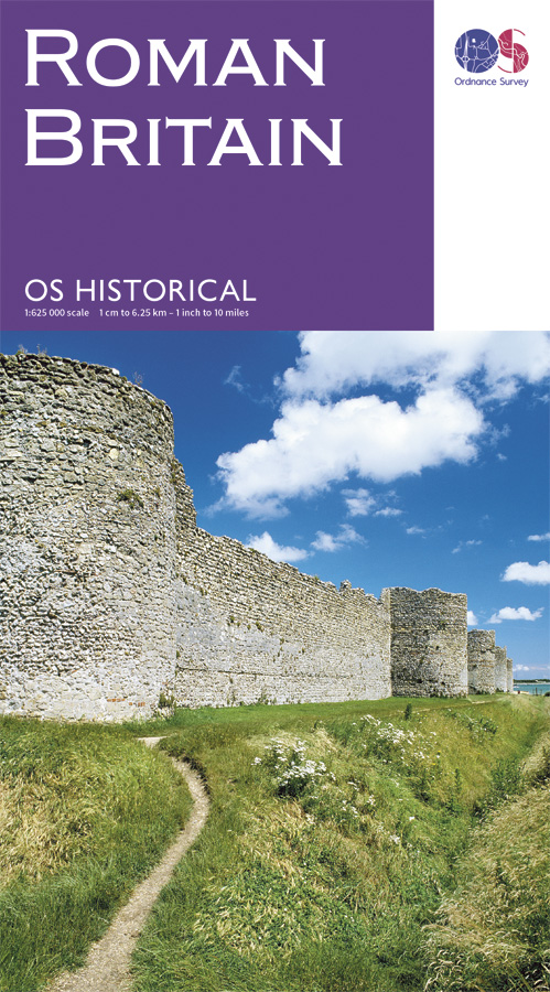
An informative map showing the location of the most important ancient monuments of Roman Britain. The map has been produced by Ordnance Survey in collaboration with the Ancient Monument Trusts of England, Scotland and Wales, so as to provide an authoritative map of the historical sights of Great Britain. It also contains valuable background details on life in Britain during this formative period. This Ordnance Survey Historical map and guide is a fascinating possession for the interested and enthusiastic historians of today.
€ 12,95
Verzendkosten: Zie website leverancierSpecificaties
Merk:
n.b.
EAN:
Je bestelt bij:
De Zwerver
Categorie:
Subcategorie:
Maat:
n.v.t.
Materiaal:
n.v.t.
Levertijd:
Aantal beschikbaar:
n.b.
Verkoopprijs
€ 12,95
Prijzen vanaf:
n.v.t.
Verzendkosten:
Zie website leverancier
ISBN:
Editie:
Uitgever:
Beschrijft het volgende gebied:
Europa - Engeland -
Taal:
Direct bestellen: