
Wegenkaart - landkaart Scotland - Schotland road map 2025 | Collins
Explore Scotland with easy-to-read mapping from Collins.
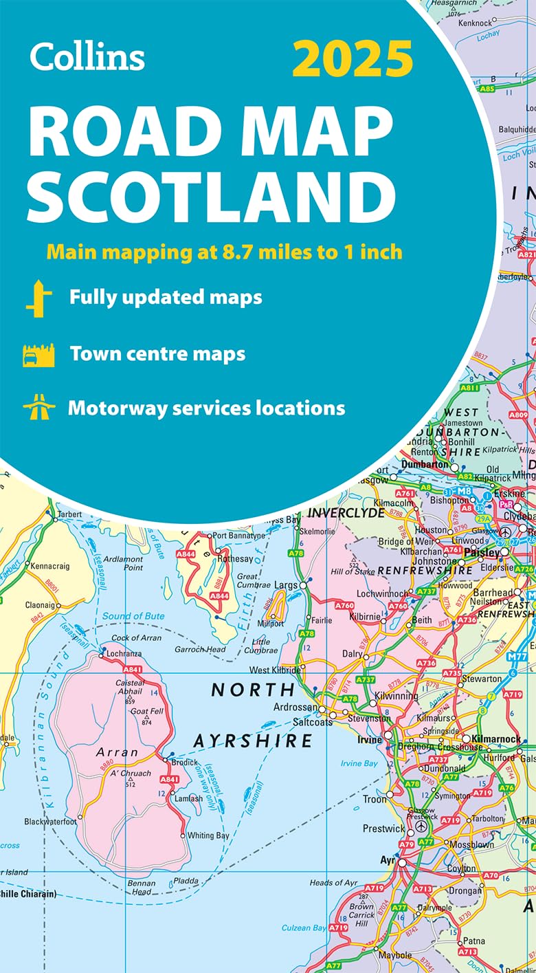
Full-color map of Scotland at 8.7 miles to 1 inch (1:550.000), with clear road network and administrative areas shown in color. The map covers the whole of Scotland and part of Northern England conveniently on one side, and is ideal for reference or route planning.
The map shows the road network in detail for easy route planning and has easily identifiable local council areas and boundaries.
The main features of this road map are:
Fully updated
Administrative areas shown in color
Clear, detailed road network and road distances
Town and city names, rivers, railway lines and canals are clearly shown
7 city/town center street plans showing places of interest
Index to place names
Mileage chart
Car ferry routes
Key in English, French and German
€ 11,50
Verzendkosten: € 2,95Specificaties
Merk:
n.b.
EAN:
Je bestelt bij:
De Zwerver
Categorie:
Subcategorie:
Maat:
n.v.t.
Materiaal:
n.v.t.
Levertijd:
Aantal beschikbaar:
n.b.
Verkoopprijs
€ 11,50
Prijzen vanaf:
n.v.t.
Verzendkosten:
€ 2,95
ISBN:
9780008652999
Editie:
2024
Uitgever:
Collins
Beschrijft het volgende gebied:
Europa - Schotland -
Taal:
Direct bestellen: