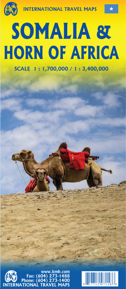
Wegenkaart - landkaart Somalië & Hoorn van Afrika | ITMB
Een degelijke kaart met aanduidingen van o.a. nationale parken, vliegveld, benzinepomp, dirt-roads en kleine plattegrond van hoofdstad. Als overzichtskaart goed te gebruiken.
Met aan de ene zijde een kaart van Somalië, schaal 1:1.700.000, en op de andere zijde een overzichtskaart van de Hoorn van Afrika, schaal 1:3.400.000
Somalia is one of the more interesting off-the-beaten-path countries. The area around Mogadishu prefers to call itself Somalia, but controls only a portion of the overall country area. Then there is Jubaland, on the Kenyan border, aligned very closely to the former Italian colony boundaries of the same name. Truly, an amazing juxtaposition of countries within countries! The reverse side of the sheet presents a very interesting regional perspective of the area between the northern border of Ethiopia, a small portion of Sudan and a reasonable portion of South Sudan, all of Uganda, most of Kenya, all of Djibouti, and a fair portion of Eritrea, as well as the former Aden portion of war-torn Yemen. The strategic island of Socotra is in the upper right corner. This is a fascinating regional map, never before published to my knowledge, of an extremely significant part of the world. Think of the following: Socotra guards and controls access to the Gulf of Aden and the Red Sea, leading to the Suez Canal. What an interesting part of the world! How can anyone not be captivated by such wonderfully exotic names as Hargeysa, Boosaaso, or Kismayyo? Somalia and the region of the Horn remain crucially important to world peace, so this map is important.
Legend Includes:
Roads by classification, Rivers and Lakes, National Park, Airports, Points of Interests, Mining, Highways, Main Roads, Zoos, Fishing, , and much more...
€ 13,95
Verzendkosten: Zie website leverancierNu bestellen bij De Zwerver

