
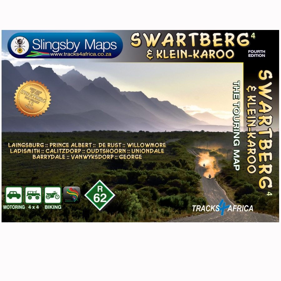
Wegenkaart - landkaart South Africa: Swartberg & Klein-Karoo | Slingsby Maps
All roads from National Highways to minor gravel roads are shown; the many classifications that indi- cate the quality of each road help you plan your route
No less than 28 mountain passes are shown — all are public roads!
Distances are clearly shown; comprehensive 4 x 4 information
GPS coordinates in DD MM SS format are provided for every road-junction
All tourism facilities and accommodation establishments are shown in the out-of-town areas; there are insets of the major towns
The map links to our maps of the Baviaanskloof, the Garden Route, Overberg and the Tankwa-Karoo
Additional info:
Swartberg and Klein-Karoo region on a contoured and GPS compatible, double-sided, waterproof and
tear-resistant map at 1:160,000 from Slingsby Maps, with excellent topographic detail and plenty of tourist information, including street plans of ten main towns.
The map provides a very detailed picture of this mountainous terrain, with altitude colouring, shading, con- tours at 20m intervals and numerous spot heights. For GPS navigation important road junctions and various other features are annotated with waypoints and the map has latitude and longitude lines at 5’ intervals.
Road information is very finely graded, indicating road surface, private roads with public access, 4WD only tracks, cattle grids and game gates, locations of fuel supplies, etc. Also marked are routes found by publish- ers as enjoyable, or conversely as dull. Railway lines are shown with stations. For hikers the map indicates waymarked paths and shows other trails. A very wide range of symbols highlight various places of interest and tourist facilities: different types of accommodation from hotels to campsites, picnic places, farm stalls, wineries, restaurants, sport and recreational sites, animal viewing sites, etc.
The map also includes street plans of ten of the region’s main towns: Laingsburg, Ladismith, Van Wyksdorp, Calitzdrop, De Rust, Oudtshoorn, Schoemanshoek, Prince Albert, Uniondale and Willowmore, all annotated with accommodation and other tourist facilities of places of interest.
€ 29,95
Verzendkosten: € 2,95Specificaties
Merk:
n.b.
EAN:
Je bestelt bij:
De Zwerver
Categorie:
Subcategorie:
Maat:
n.v.t.
Materiaal:
n.v.t.
Levertijd:
Aantal beschikbaar:
n.b.
Verkoopprijs
€ 29,95
Prijzen vanaf:
n.v.t.
Verzendkosten:
€ 2,95
ISBN:
9781776322787
Editie:
01-01-2023
Uitgever:
Slingsby Maps
Beschrijft het volgende gebied:
Afrika - Zuid-Afrika -
Taal:
Direct bestellen: