
Wegenkaart - landkaart - Stadsplattegrond Barcelona & Catalunya - Catalonië | ITMB
Een degelijke wegenkaart met aanduidingen van o.a. nationale parken, vliegveld, benzinepomp, dirt-roads. Als overzichtskaart goed te gebruiken.
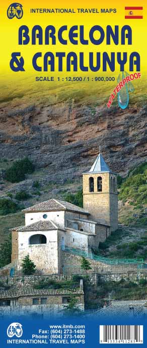
This new edition of Barcelona not only updates an already excellent city map, it relates it to its surrounding hinterland. It is no secret that the area surrounding Barcelona, called Catalunya, has long harboured a strong desire to separate from Spain (the adjacent Basque region has also coveted independence for as long as I can remember). Our regional map extends beyond the strict boundaries of the province/pseudo independent state of Catalunya and is actually a very good map of the east coast of Spain as far south as Valencia, but lets not split hairs. This is an excellent map for anyone visiting the Barcelona area, showing the heart of the city in immaculate detail and providing ample mapping assistance for anyone travelling to nearby urban areas, comprising most of the touristic sights and places of interest.
Legend Includes:
Roads by classification, Points of Interest, National Parks, Airports, Golf Courses, Beaches, Campsites, Waterfalls, Viewpoints, Fishing Spots, Hospitals, harbours/Ports, Zoos, and much more.
Plattegrond van Barcelona schaal 1:12.500
Wegenkaart Catalonië schaal 1:900.000
€ 13,95
Verzendkosten: € 2,95Specificaties
Merk:
n.b.
EAN:
Je bestelt bij:
De Zwerver
Categorie:
Subcategorie:
Maat:
n.v.t.
Materiaal:
n.v.t.
Levertijd:
Aantal beschikbaar:
n.b.
Verkoopprijs
€ 13,95
Prijzen vanaf:
n.v.t.
Verzendkosten:
€ 2,95
ISBN:
9781553411284
Editie:
01-06-2015
Uitgever:
ITMB
Beschrijft het volgende gebied:
Europa - Spanje - Catalonië
Taal:
Direct bestellen: