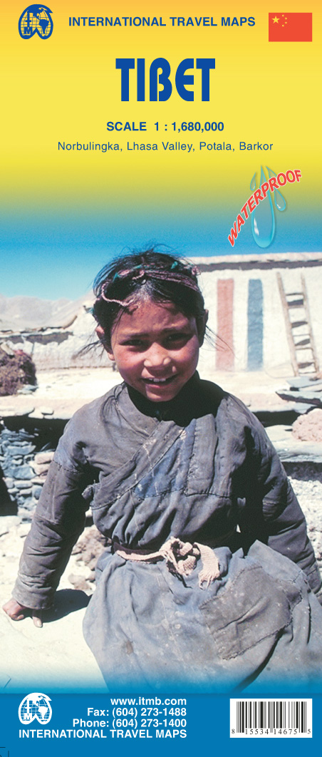
Wegenkaart - landkaart Tibet | ITMB
Een degelijke kaart met aanduidingen van o.a. nationale parken, vliegveld, benzinepomp, dirt-roads en kleine plattegrond van hoofdstad. Als overzichtskaart goed te gebruiken.
Tibet is fascinating and controversial. It has been occupied by China since Chairman Mao send hordes of Chinese troops into the country and annexed it to China, expanding its borders somewhat by over-running parts of northern India a bit later. We do our best to portray the country as it is, without getting overly involved in the political ramifications, which are pretty severe. At the moment, the Chinese authorities seem to be clamping down on tourism, due to simmering unrest. However, the country, or self-governing province of China is a beautiful place and deserves a good map. It is extremely difficult to get updating information on Tibet; we've done our best, but this is very much a work in progress. Printed on ITM plastic for durability, with a new ISBN and cover picture.
Legend Includes:
Roads by classification, International Border, Disputed Border, Province/region Border, Prefecture Border, Railway, Motorway, Main Road, Connecting Road, Other Road, Track, Glacier, Salt Pan, Swamp, Sand, Pass, Mountain, National Park, Wildlife Reserve, International Airport, Airport/Airfield, Point of Interest, Ruin, Hill Station, Hermitage, Monastery, Museum, Zoo, Winter Sport, Fortress, Ferry, Hot Spring, Cave and much more
€ 13,95
Verzendkosten: Zie website leverancierNu bestellen bij De Zwerver

