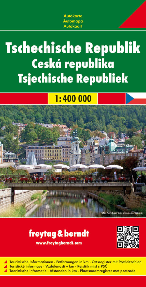
Wegenkaart - landkaart Tsjechische Republiek - Tsjechië | Freytag & Berndt
Prima wegenkaart / landkaart van Tsjechië, nu met een nieuwe schaal van 1:400.000 en enkelzijdig geprint, in tegenstelling tot de kaart van 1:250.000.
Met uitgebreide legenda zodat campings, tankstations, bezienswaardigheden en dergelijke staan aangegeven.
High quality road maps with place name index. In many countries these are simply the best maps available. Scales vary according to the size of the country. Index is in several languages.
National road networks and provincial and local roads are shown, with each class of road clearly indicated and road numbers, motorway junctions, intermediate distance markers and petrol stations. Railways and airports are displayed.
Topography includes spot heights and nominal relief shading, with colour shading used to indicate land types such as forests or urban areas. National Parks and military reservations are marked out, as are National and district boundaries.
Camping sites and hospitals are located and legend symbols indicate various sites of historical and cultural tourist interest.
€ 14,95
Verzendkosten: € 2,95Nu bestellen bij De Zwerver

