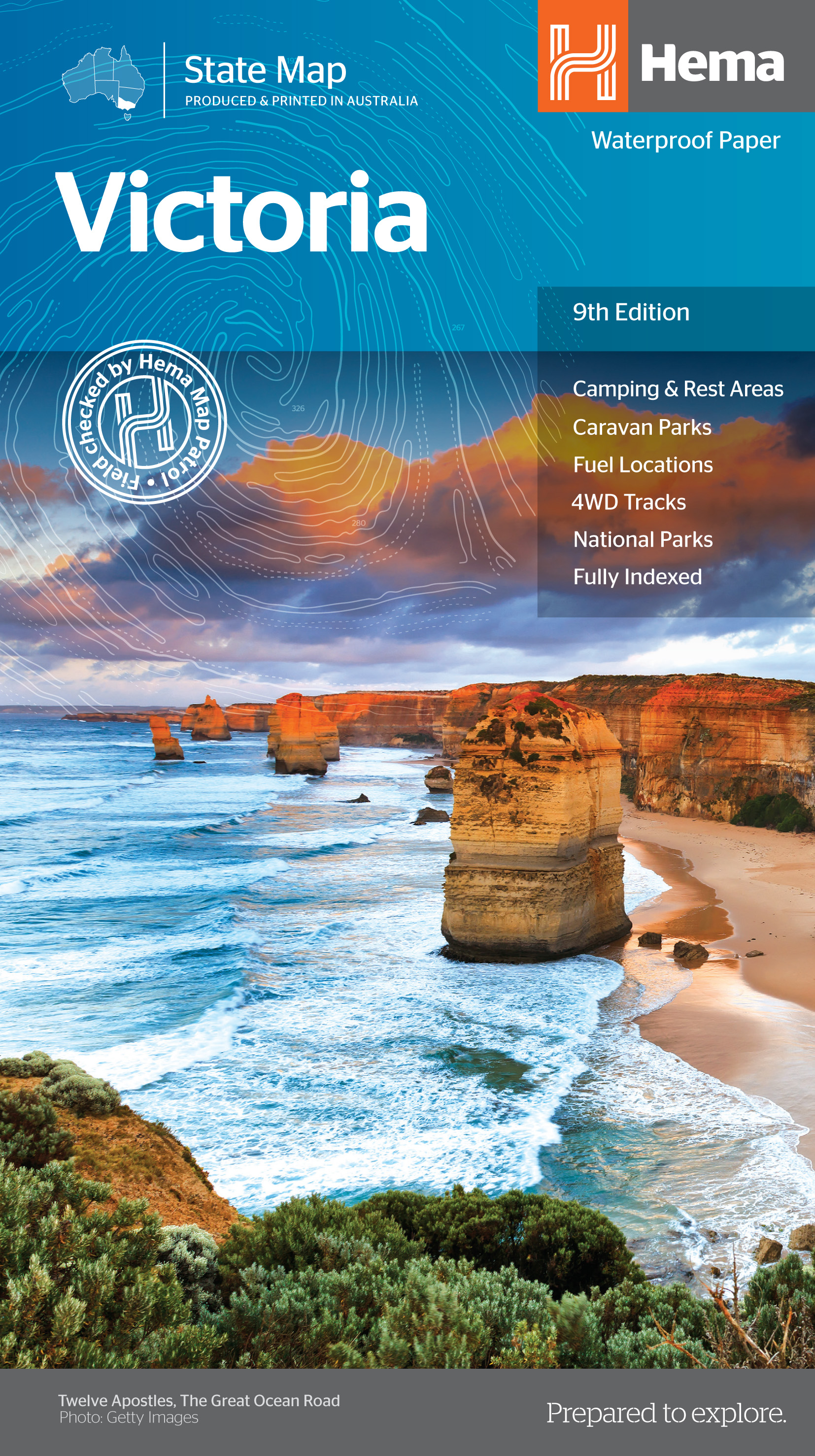
Wegenkaart - landkaart Victoria state map | Hema Maps
Goede, overzichtelijke, leesbare kaart van de hele provincie. Nationale Parken zijn er goed op te vinden en de afstanden worden weergegeven. Op de achterkant nog deelkaartjes van enkele steden en NP s.
A comprehensive map of Victoria for touring throughout the state that has camping and rest areas, 24-hour fuel and points of interest marked on the mapping. On the reverse are CBD, the surrounding region and through road maps of Melbourne in addition to maps of the Great Ocean Road and East Gippsland. Also included is a national park matrix and a list of accredited information centres within Victoria. Key Features Camping & Rest Areas Caravan Parks Fuel Locations 4WD tracks National Parks Fully indexed
€ 15,95
Verzendkosten: € 2,95Nu bestellen bij De Zwerver
Specificaties
Merk:
n.b.
EAN:
Je bestelt bij:
De Zwerver
Categorie:
Subcategorie:
Maat:
n.v.t.
Materiaal:
n.v.t.
Levertijd:
Aantal beschikbaar:
n.b.
Verkoopprijs
€ 15,95
Prijzen vanaf:
n.v.t.
Verzendkosten:
€ 2,95
ISBN:
9781865009834
Editie:
01-12-2014
Uitgever:
Hema Maps
Beschrijft het volgende gebied:
Oceanië - Australië - New South Wales Zuidoost Australië
Taal:
Engels
Direct bestellen:

