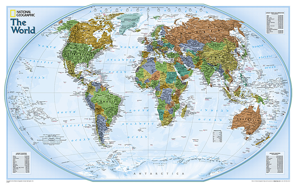
Wereldkaart World Explorer, 81 x 51 cm | National Geographic
The colorful World Explorer map is designed using the Winkel Tripel projection, which reduces the distortion of land masses near the poles. Inset charts list largest cities by population and the largest countries by land mass and population.
€ 19,95
Verzendkosten: Zie website leverancierNu bestellen bij De zwerver
Specificaties
Merk:
n.b.
EAN:
Je bestelt bij:
De zwerver
Categorie:
Subcategorie:
Maat:
n.v.t.
Materiaal:
n.v.t.
Levertijd:
Aantal beschikbaar:
n.b.
Verkoopprijs
€ 19,95
Prijzen vanaf:
n.v.t.
Verzendkosten:
Zie website leverancier
ISBN:
Editie:
Uitgever:
Beschrijft het volgende gebied:
- -
Taal:
Direct bestellen:

