
Fietsgids Bikeline Danube Bike Trail 1 (Engels - Donau Radweg) | Esterbauer
Praktische fietsgids met detailkaarten, ingetekende route, informatie over overnachten en fietsenmakers, zwaarte en hoogteprofiel. In spiraalbinding, Engelstalig.
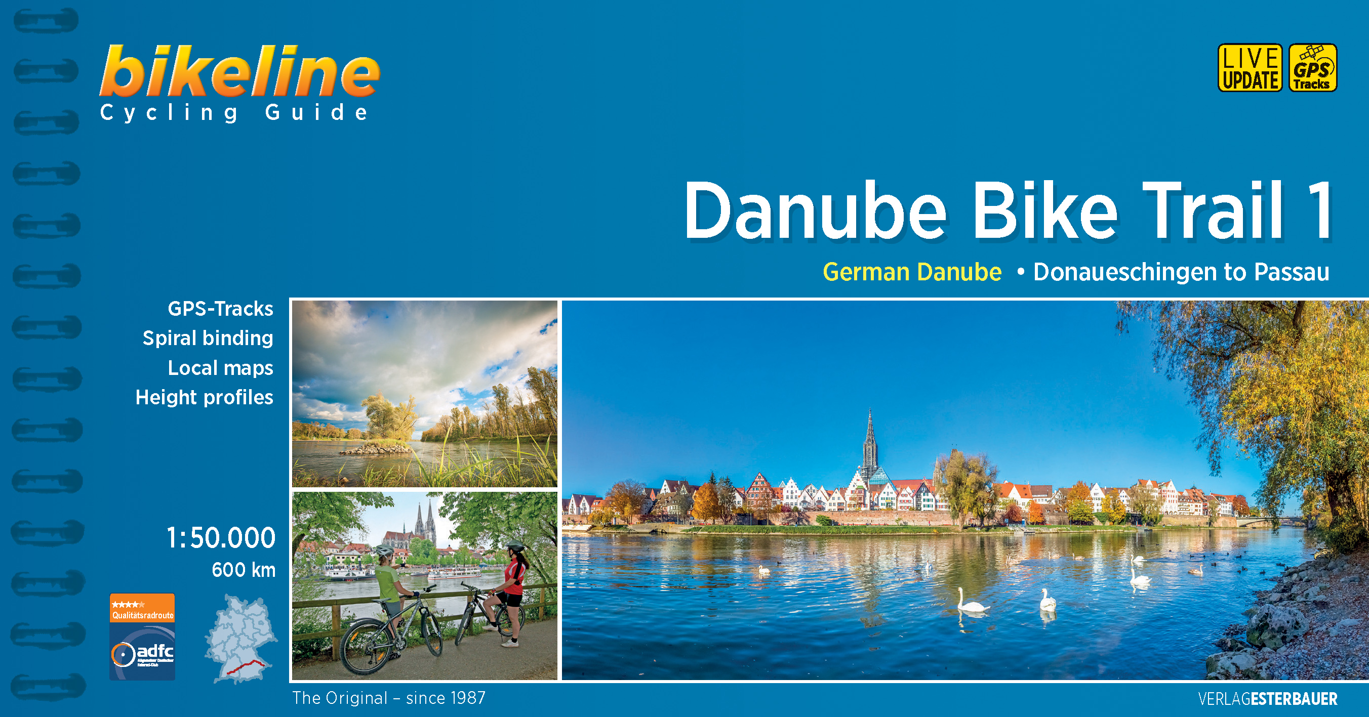
Length
The Danube cycling route between Donaueschingen and Passau is about 595 kilometers in length, not including alternative routes and excursions.
Surface quality and traffic
Most of the route follows quiet country lanes or dedicated cycling paths. Sections with heavier traffic are rare and usually short. With only a few exceptions, the roads and paths have a hard surface. Gravel sections are usually in good condition. Because the route follows the course of the river, it is almost completely flat. It is mostly on the excursions into the surrounding countryside that must expect some steep sections. It is possible that during flooding part of the route is unusable or closed and you need to use alternative routes.
Signage
Route markers along the Danube bicycle route are generally reliable and good. Signs are located by every change in direction at forks and intersections. From Donaueschingen to Neustadt the signs are yellow with green lettering. Downstream from Neustadt the signs are white with green lettering. After Kelheim the signs also bear the slogan “Tour de Baroque” and the German Danube icon alternates with the lute-player seen on the Tour de Baroque signs.
€ 16,50
Verzendkosten: € 2,95Specificaties
Merk:
n.b.
EAN:
Je bestelt bij:
De Zwerver
Categorie:
Subcategorie:
Maat:
n.v.t.
Materiaal:
n.v.t.
Levertijd:
Aantal beschikbaar:
n.b.
Verkoopprijs
€ 16,50
Prijzen vanaf:
n.v.t.
Verzendkosten:
€ 2,95
ISBN:
9783850007863
Editie:
19-06-2019
Uitgever:
Esterbauer
Beschrijft het volgende gebied:
Europa - Duitsland - Baden - Wurttemberg
Taal:
Engels
Direct bestellen: