€ 23.95
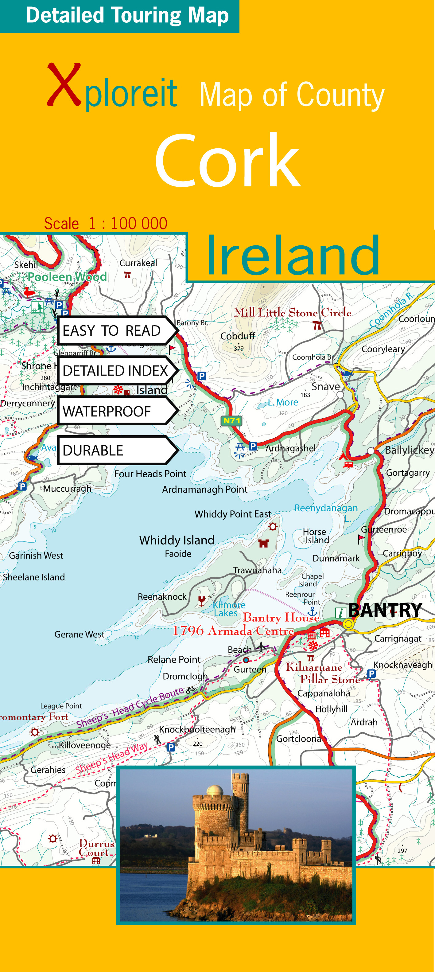
Wegenkaart - landkaart - Fietskaart Cork (Ierland) | Xploreit Maps

Mooie geplastificeerde en scheurvaste kaart met index

The Xploreit Map of County Cork includes all of Cork along with parts of counties Kerry, Limerick, Tipperary and Waterford. Cork's rich heritage of megalithic monuments, medieval churches and castles can instantly be identified. Noted sites such as Blarney Castle, St. Finbarr's Oratory at Gougane Barra and McCarthy's Bar in Castletownbere are featured in red text. Whether you want to explore Youghal's town walls in the east, savour the views from the footbridge at Mizen Head in the south-west or or imagine times past as you stroll around Mitchelstown's King's Square and Kingston College in the north it's easy to find your chosen destination. Showing a large array of golf courses, angling spots, sandy beaches for swimming and surfing, equestrian facilities, boating facilities, this map is an indispensable tool for visitors. Several scenic drives, cycle routes and waymarked walks are shown. The scale of the Cork map is 1:100,000.

Walking Routes
All the National Waymarked routes and an extensive selection of looped walks in Cork are shown. Some are listed below:

The Blackwater Way
The Ballyhoura Way
The Beara Way
The Sheep's Head Way
The Seven Heads Walk
Doctors Hill Loop
Mullaghareirk Loop
The Seven Heads Walk

Cycling Routes
All the main cycling routes are shown:

The Gougane Barra Cycle Route
The Blackwater Cycle Route
The Duhallow Cycle Route
The Beara Cycle Route
The Sheep's Head Cycle Route
The Youghal Cycle Route

€ 11.90
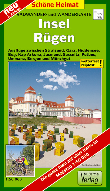
Wandelkaart - Fietskaart Insel Rügen | Verlag Dr. Barthel

Frei von Werbeanzeigen. reißfest, wetterfest durch Beschichtung mit hochwertiger nicht spiegelnder Folie, mit ausgewählten Straßennamen zur besseren Orientierung, farbig hervorgehobenen Ausflugszielen, Sehenswürdigkeiten der Umgebung in Text und Bild und alle regionalen und überregionalen Wander- und Radwanderwege sowie ausgewiesene Radtourenvorschläge mit Entfernungsangabe in Kilometern, GPS-fähig.

€ 23.95
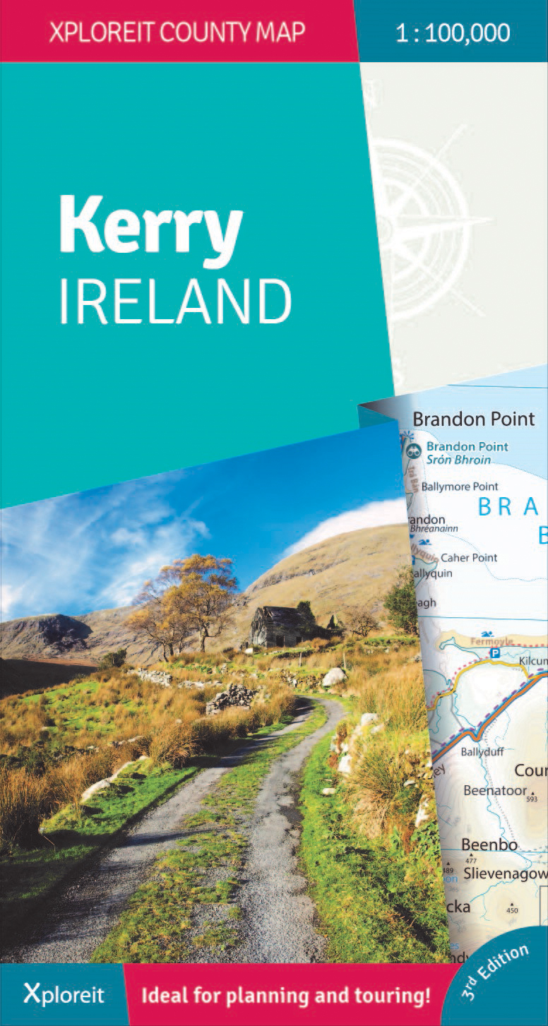
Wegenkaart - landkaart - Fietskaart Kerry (Ierland) | Xploreit Maps

Een nieuwe editie van de populaire Xploreit-kaart van County Kerry


Of u nu uw dagelijkse activiteiten wilt plannen of gewoon een snelle scan van uw huidige locatie nodig hebt, deze kaart is een uitstekende metgezel voor uw avonturen in County Kerry. Deze handige en informatieve tourkaart heeft al vele jaren duizenden bezoekers en inwoners naar de beste autoritten, fietsroutes, wandelingen en bezienswaardigheden in Kerry, 'The Kingdom', geleid. Deze opwindende nieuwe editie is volledig herzien en bijgewerkt. Het Kerry-gedeelte van de nieuwe langeafstands Euro Velo Atlantic Cycle Route is opgenomen, samen met de nieuwe groene routes, waaronder Listowel naar Abbeyfeale en Tralee naar Fenit. Topografie wordt weergegeven door hoogtekleuren met contouren op 30 m en er worden talrijke geografische kenmerken geïdentificeerd. Het wegennet omvat lokale wegen en paden met gemarkeerde schilderachtige wegen, waaronder het Kerry-gedeelte van de Wild Atlantic Way en relevante Discovery Points. Elke centimeter op de kaart is gelijk aan 1 kilometer, dus de kaart biedt een goed detailniveau, maar is duidelijk en gemakkelijk te volgen.


De kaart is dubbelzijdig, eenvoudig te lezen en vouwen en er is een goede overlap tussen noord en zuid. De kaart is licht en past gemakkelijk in het handschoenenkastje of een rugzak. Een breed scala aan symbolen geeft verschillende interessante plaatsen aan: antiquiteiten, recreatiefaciliteiten, musea en erfgoedlocaties, toeristeninformatiecentra, campings en caravanparken, enz. Plaatsnamen zijn geïndexeerd en er zijn breedtegraad- en lengtegraadlijnen in decimale graden met intervallen van respectievelijk 0,01 en 0,1, waardoor het eenvoudig is om coördinaten te schatten voor gebruik met GPS-apparaten.


Belangrijkste kenmerken:

• Heel County Kerry op één tourkaart

• Gemakkelijk te lezen, duidelijke kaart

• Lokale ritten, fietsroutes en wandelingen

• Groot scala aan gemarkeerde toeristische attracties

• Plaatsnamenindex

• Lichtgewicht, gemakkelijk op te vouwen en mee te nemen

Walking Routes
It has been possible to include all the national waymarked ways in Kerry and many of the routes in Cork. The ways covered are listed below:

The Dingle Way

The Kerry Way

The North Kerry Way

The Beara Way

The Sheep's Head Way

The Blackwater Way (partly shown)

Cycling Routes
All the Kerry cycling routes are shown and many of the routes in Cork are also included:

The North Kerry Cycle Route including the Fenit and Kerry Head loops

The Ring of Kerry Cycle Route

The Beara Cycle Route

The Sheep's Head Cycle Route

The Gougane Barra Cycle Route (from Ballylickey to Macroom)