
Goede overzichtskaart van La Palma. Juist deze kaart is bij uitstek geschikt voor vele doeleinden. Zowel voor de auto als voor de aktieve vakantieganger goed.
Overigens vinden wij dat de Freytag & Berndt kaarten van de Spaanse en Portugese eilanden iets meer gericht zjin op algemeen toerisme en iets minder op wandelen; voor wandelen raden we toch de Kompass - kaarten serie aan die van de meest eilanden ook voor handen is.
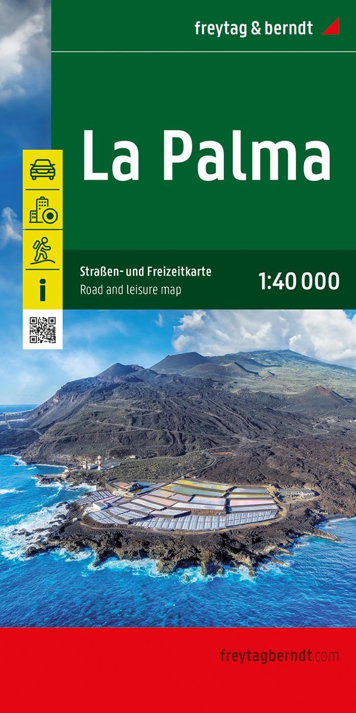
The La Palma road map on a scale of 1:40,000 contains all the important information for holidaymakers who want to visit La Palma. The extensive road network is precisely represented and many tourist attractions are shown on the map.
Drivers and motorcyclists particularly appreciate the precise cartography from freytag & berndt for route planning and on-site orientation.
Hikers can also use the map for hiking tours thanks to the detailed scale and contour lines.
Information about the La Palma road map
Scale 1:40,000
Hiking trails
Tourist information
Innenstadtpläne: Santa Cruz de La Palma, Los Llanos de Aridane
Format: 86 x 124 cm
The ideal road map for La Palma
drivers, motorcyclists and camping lovers will not only find remote and lesser-known places in this road map, but also scenic routes that are particularly highlighted. Campsites are of course also listed.
Printed in Austria.