€ 12.50
Reisgids Rough Guide Pocket Tokyo | Rough Guides

Een kleinere versie in zakformaat van de grotere versies van de Rough Guides. Als altijd weer vol met goede informatie over cultuur en praktische zaken. Achterin een kaart van de stad

Make the most of your time on Earth with the ultimate travel guides.
Entertaining, informative and stylish pocket guide, now with free eBook.

Get Olympic ready with this pocket guidebook to Tokyo. It's a treasure trove of practical information, expert-curated listings and maps that will help travellers make the most of their 2020 Olympic adventure.

Discover the best of Tokyo with this compact and entertaining pocket travel guide. This slim, trim treasure trove of trustworthy travel information is ideal for short-trip travellers and covers all the key sights (Senso-Ji temple, Golden Gai, Shibuya crossing), restaurants, shops, cafés and bars, plus inspired ideas for day-trips, with honest and independent recommendations from our experts.

Features of this travel guide to Tokyo
- Compact format: packed with practical information, this is the perfect travel companion when you're out and about exploring Tokyo
- Honest and independent reviews: written with Rough Guides' trademark blend of humour, honesty and expertise, our writers will help you make the most of your trip
- Incisive area-by-area overviews: covering Ginza, Harajuku, Shinjuku and more, the practical 'Places' section provides all you need to know about must-see sights and the best places to eat, drink and shop
- Handy pull-out map: with every major sight and listing highlighted, the pull-out map makes on-the-ground navigation easy
- Time-saving itineraries: carefully planned routes will help inspire and inform your on-the-road experiences
- Travel tips and info: packed with essential pre-departure information including getting around, health, tourist information, festivals and events, plus an A-Z directory and handy language section and glossary
- Attractive user-friendly design: features fresh magazine-style layout, inspirational colour photography and colour-coded maps throughout
- The ultimate travel tool: download the free eBook to access all this from your phone or tablet
- Covers: Imperial Palace and around, Ginza and around, Akihabara and around, Ueno and around, Asakusa and around, Bayside Tokyo, Akasaka and Roppongi, Ebisu and the south, Harajuku and Shibuya, Shinjuku and the west, and Ikebukuro and the north.

Looking for a comprehensive travel guide to Japan? Try The Rough Guide to Japan for an informative and entertaining look at all the country has to offer.

About Rough Guides: Rough Guides have been inspiring travellers for over 35 years, with over 30 million copies sold. Synonymous with practical travel tips, quality writing and a trustworthy 'tell it like it is' ethos, the Rough Guides list includes more than 260 travel guides to 120+ destinations, gift-books and phrasebooks.

€ 22.50
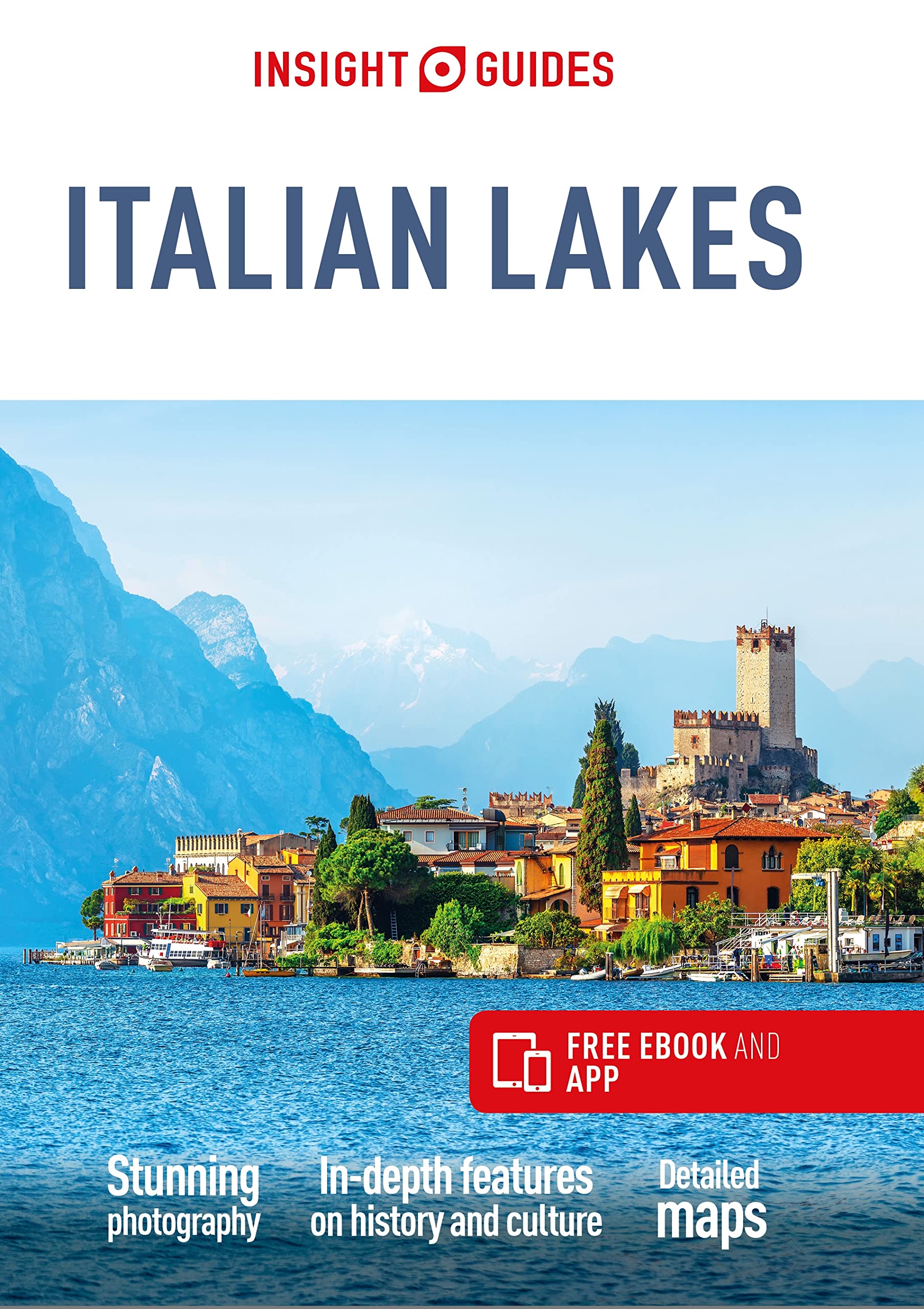
Reisgids Italian Lakes | Insight Guides

Een rijk geillustreerde reisgids met diepgaande teksten: één van de beste reisgidsen die er bestaan. Eerste deel bestaat uit een beschrijving van de unieke aspecten van de regio, daarna een deel echte reisgids en als afsluiting een deel met praktische informatie. De uitstekende informatie wordt vergezeld van prachtige foto's en heldere kaarten. Niet alleen om mee te nemen, maar ook om vooraf en zelfs achteraf weer in de stemming te komen.

Travel made easy. Ask local experts.
Comprehensive travel guide packed with inspirational photography and fascinating cultural insights, now with free eBook.

From deciding when to go, to choosing what to see when you arrive, this guide to the Italian Lakes is all you need to plan your perfect trip, with insider information on must-see, top attractions like the magnificent shores of Lake Maggiore, the rooftops of fair Verona and olive groves of Lake Garda, and cultural gems like magical little Lake Orta, metropolitan Milan and a tour of the winelands of Valpolicella.

Features of this travel guide to the Italian Lakes:
- Inspirational colour photography: discover the best destinations, sights and excursions, and be inspired by stunning imagery
- Historical and cultural insights: immerse yourself in Italy's rich history and culture, and learn all about its people, art and traditions
- Practical full-colour maps: with every major sight and listing highlighted, the full-colour maps make on-the-ground navigation easy
- Editor's Choice: uncover the best of the Italian Lakes with our pick of the region's top destinations
- Key tips and essential information: packed full of important travel information, from transport and tipping to etiquette and hours of operation
- The ultimate travel tool: download the free app and eBook to access this and bonus content from your phone or tablet
- Covers: Verona, Lake Garda, Brescia, Lake Iseo, Franciacorta and Val Camonica, Bergamo, Lake Como, Lugano, Varese, Lake Maggiore, Lake Orta and Milan.

Looking for a specific guide to Italy? Check out Insight Guides Italian Lakes for a detailed and entertaining look at all the city has to offer.

About Insight Guides: Insight Guides is a pioneer of full-colour guide books, with almost 50 years' experience of publishing high-quality, visual travel guides with user-friendly, modern design. We produce around 400 full-colour print guide books and maps, as well as phrase books, picture-packed eBooks and apps to meet different travellers' needs. Insight Guides' unique combination of beautiful travel photography and focus on history and culture create a unique visual reference and planning tool to inspire your next adventure.

€ 22.95
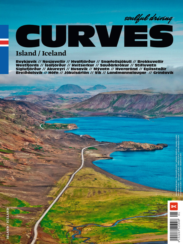
Reisgids Curves Iceland - IJsland | Delius Klasing Verlag

Feuer und Eis


Beim Thema Island wird schnell klar: Hier regiert der Gegensatz! Eben noch zittert man angesichts der peitschenden Wogen des Nordmeers, doch schon ein paar Kilometer weiter wird man vom heißen Wasser der Blauen Lagune umspült, während man inmitten eines Lavafelds ein Bad nimmt.

Die Insel ist ein einziger Vulkan, der jedoch nicht vollständig aktiv ist. Nebenbei befindet sich hier aber auch der größte Gletscher Europas. In der Hauptstadt Reykjavík pulsiert das Leben, während die restlichen Einwohner auf der ganzen Insel verteilt sind.


Heiß und kalt, rau und sanft, belebt und einsam – was fehlt da noch? Richtig: sanftes Gleiten und ambitionierte Kurvenfahrt. Stefan Bogner erkundet erneut die Insel, der er mit seinem Band „Epic“ bereits ein Denkmal gesetzt hat. Auf dem Weg liegen spektakuläre Routen, die ihn einmal um ganz Island herumführen. Vorbei an schroffem Gebirge, endlosen Weiten, umtosten Küsten – aber auch zu Gast bei freundlichen Isländern, die beweisen, dass man den Elementen trotzen kann.


Routenvorschläge für kleinere und größere Trips

Tipps zu Restaurants und Unterkünften auf der Strecke

Inkl. Karte zur Planung des eigenen Roadtrips und für unterwegs

Eindrucksvolle Bilder der isländischen Natur

Folgen Sie Stefan Bogner auf diesen Roadtrip zwischen Eis und Lava und entdecken Sie den rauen Charme Islands!


Zweisprachig: Deutsch/Englisch


When it comes to Iceland, it quickly becomes clear that the contrast rules! The island is a single volcano, but it is not fully active. The largest glacier in Europe is also located here. Life pulsates in the capital Reykjavík, while the rest of the population is spread across the island.

Hot and cold, rough and gentle, lively and lonely - what is still missing? Correct: smooth gliding and ambitious cornering. Stefan Bogner is exploring the island again, to which he has already set a monument with his book "Epic".


Route suggestions for different trips

Tips on restaurants and accommodation along the way

Including a map for planning your own road trip and for traveling

Impressive pictures of the Icelandic nature

Follow Stefan Bogner on this road trip between ice and lava and discover the rough charm of Iceland!

€ 19.90
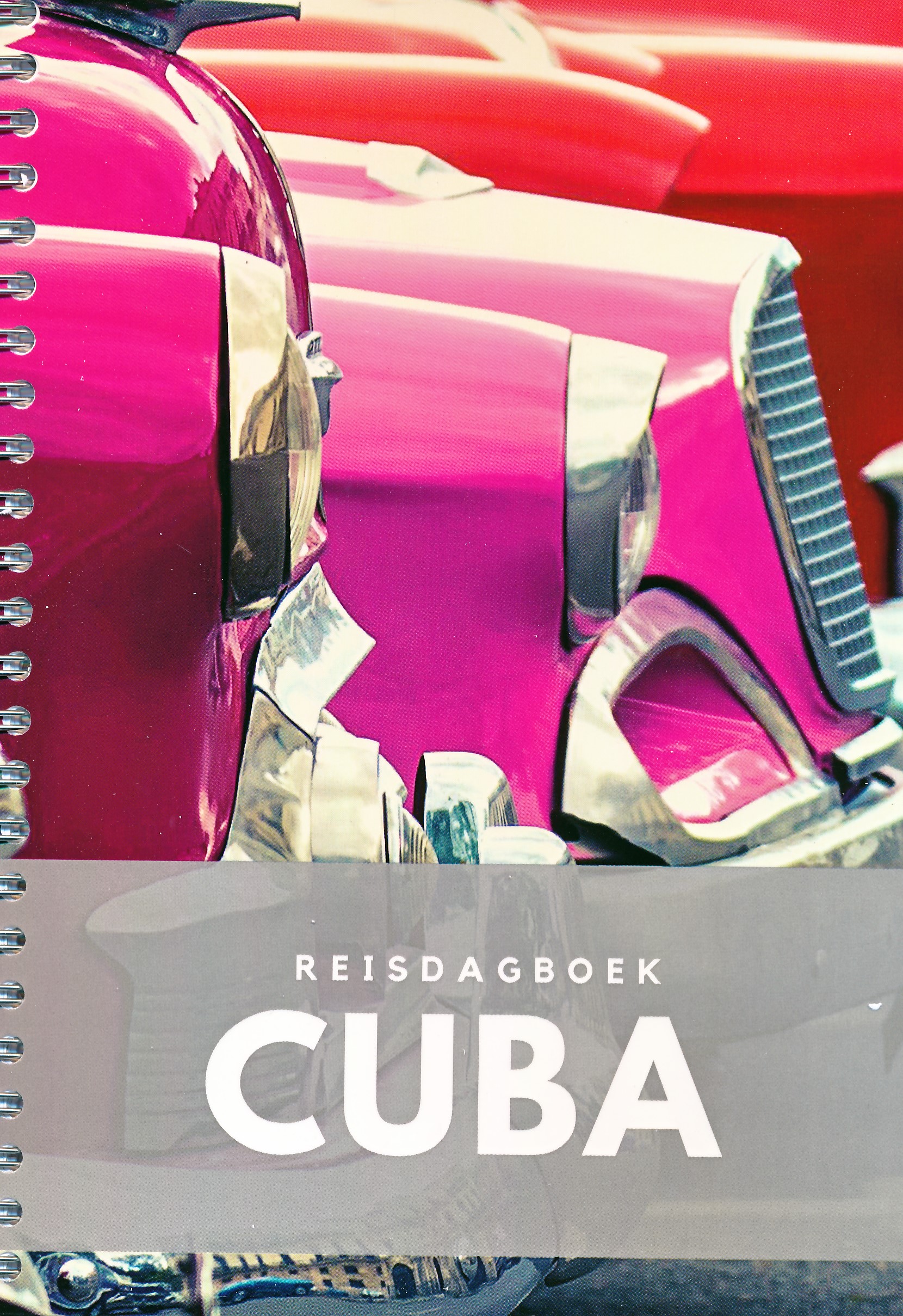
Reisdagboek Cuba | Perky Publishers

Mooi vormgegeven reisdagboek, handig in spiraal. Niet alleen leuk om voor jezelf te kopen, maar ook om als kado  weg te geven aan iemand die naar dit land of continent op reis gaat. 


Geen algemeen dagboek over reizen, maar specifiek over Cuba. Het tijdsverschil, een kaart, cijfers en weetjes over deze droombestemming. Schrijf je eigen boek / reisgids / travel roman / de ultieme herinnering. Ringband.

€ 19.90
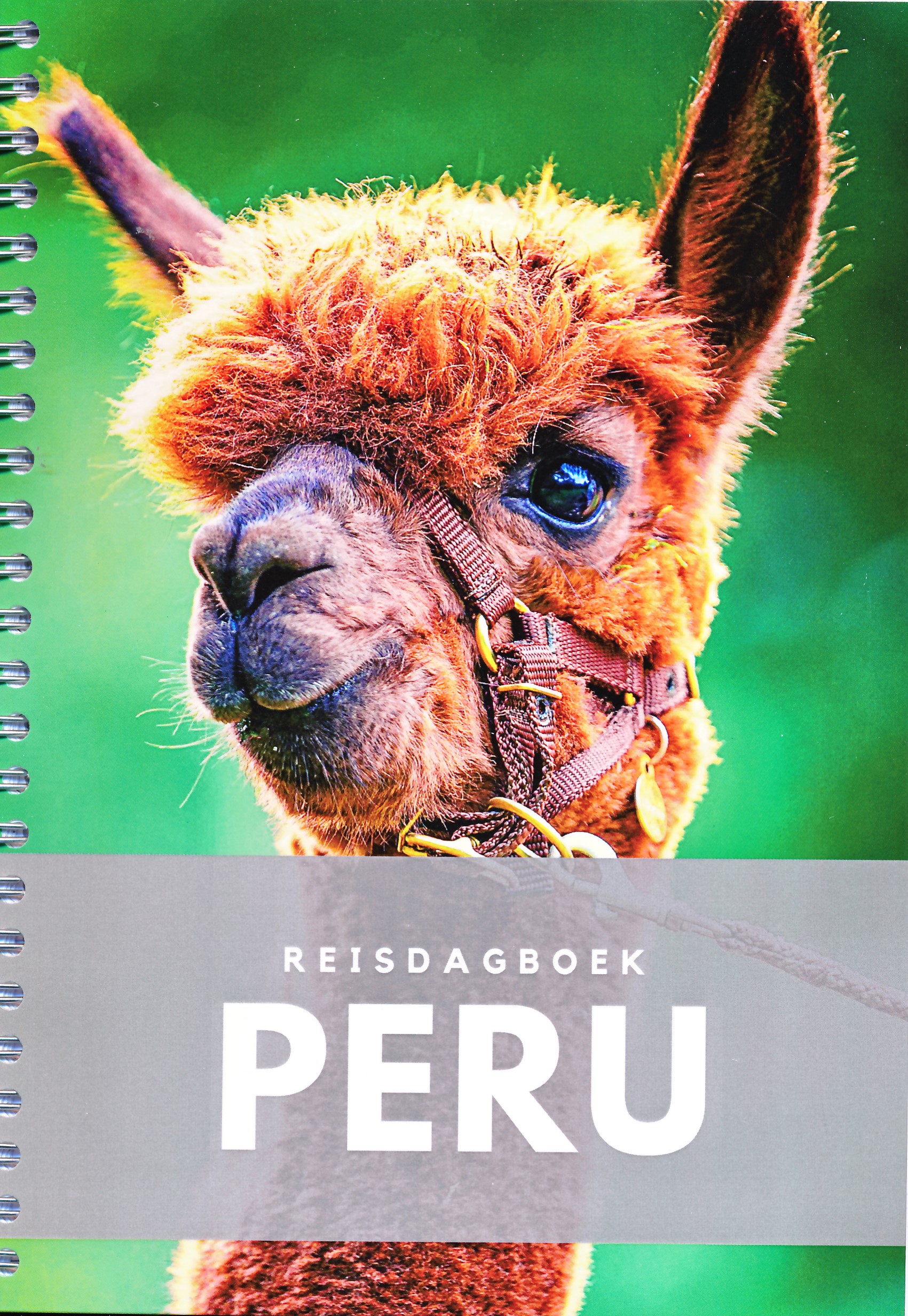
Reisdagboek Peru | Perky Publishers

Mooi vormgegeven reisdagboek, handig in spiraal. Niet alleen leuk om voor jezelf te kopen, maar ook om als kado  weg te geven aan iemand die naar dit land of continent op reis gaat. 


Geen algemeen dagboek over reizen, maar specifiek over Peru. Het tijdsverschil, een kaart, cijfers en weetjes over deze droombestemming. Schrijf je eigen boek / reisgids / travel roman / de ultieme herinnering. Ringband.

€ 29.95
Wandelkaart Knoydart / Kintail & Glen Affric | Harvey Maps

"Clarity is the hallmark of this map. It covers magnificently honed peaks set above western seas and lochs, inviting exploration of one of Scotland's superlative and remote mountain regions", the late Irvine Butterfield, author of The High Mountains.


Detailed map of ‘Britain's last wilderness’ at 1:40,000 scale.


Includes Kintail and Glen Affric.


Detailed crag information for climbers.


Includes 43 Munros, 21 Corbetts and 7 Grahams.


Knoydart & Kintail, seventh in this highly successful & innovative British Mountain Map series, is a long awaited title. It is the only detailed map to cover this famous wilderness area on one sheet. This all weather map for climbers, hillwalkers, mountaineers & mountain bikers includes 43 Munros & 21 Corbetts. It is printed on polyethylene which is durable, tearproof & 100% waterproof. Colour shading is used for easy identification of hills & valleys & the map weighs less than half the weight of a laminated map. There is also an extension covering Glen Affric.

€ 29.95
Wandelkaart Assynt & Coigach | Harvey Maps

"This is a fabulous map for a fabulous area; for the first time it shows crags, bouldering areas and clear details in what could seem a maze of rock and water. It must surely set the standard for all future maps." John Mackenzie, the Earl of Cromartie.


Detailed map for hillwalkers and climbers of the spectacular peaks of Assynt at 1:40,000 scale.


Includes Quinag, Suilven, Stac Pollaidh, Cul Mor and Ben More Assynt.


Enlargements at 1:15,000 scale of Stac Pollaidh, Suilven and Quinag on the reverse.


Climbing crags are highlighted and a climbing route on Stac Pollaidh is included.


The map area includes 2 Munros, 9 Corbetts and 6 Grahams.

€ 12.50
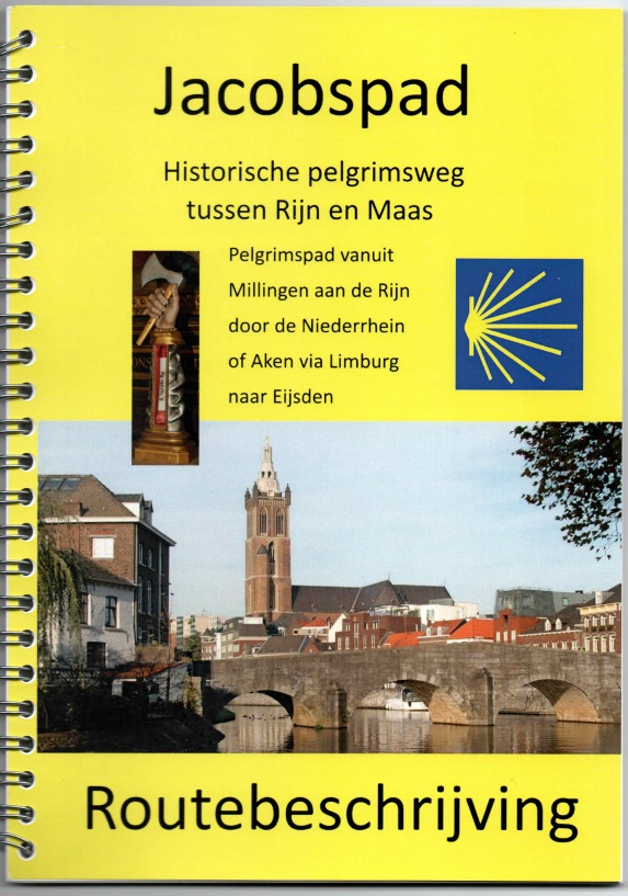
Pelgrimsroute - Wandelgids Jacobspad Limburg | Pelgrimswegen Limburg

Goede beschrijving van het Jacobspad in Limburg tussen de Rijn en de Maas: het traject Millingen - Eijsden als onderdeel van de route naar Santiago de Compostela. Het zijn vooral zeer duidelijke kaarten op gedetailleerde schaal waarop de route netjes en helder is ingetekend. Uitgevoerd in spiraal vorm, gedrukt op stevig papier. 

€ 7.95
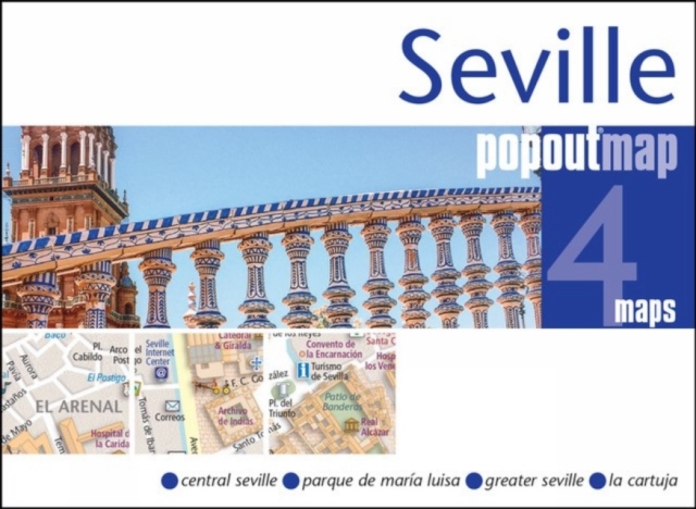
Stadsplattegrond Popout Map Seville - Sevilla | Compass Maps

Handig ( borstzak- ) formaat stadsplattegrond met voldoende detail, zodat je ook de kleinere straatjes erop aantreft. Van veel wereldsteden inmidddels leverbaar en dat is mooi, want juist in dit soort steden wil je je handen liever vrij houden en niet teveel hoeven stoeien met het uitvouwen van een grote plattegrond, en/of teveel als "toerist" opvallen. Door het unieke vouwsysteem blijft alles zeer compact en biedt het kaartje een razendvlugge manier van orientatie. Wel is dit product alleen geschikt voor het ( grote ) centrum van de stad.Verder geven de kaartjes uit deze reeks ook de meeste highlights van de stad aan en ( indien van toepassing ) een overzichtskaartje van de metro.

Let PopOut Seville guide you around this wonderful city. Explore the splendour of Seville with the help of this genuinely pocket-sized, pop-up map. Small in size yet big on detail, this compact, dependable, Bath city map will ensure you don't miss a thing.


Includes a PopOut map - a detailed map of the city centreAdditional maps - Parque de Maria Luisa, Greater Seville and Seville province are also includedAdvice on the top things to see while you're thereHandy, self-folding, tourist map is small enough to fit in your pocket yet offers extensive coverage of the city in an easy-to-use formatThorough street index is also featured and cross-referenced to the map so you can easily find your destinationHotels, restaurants, stores and attractions are all included on the mapIdeal to pop in a pocket or bag for quick reference while exploring this beautiful city. Fold size: 95mm x 130mm (3.75" x 5.25") Sheet size: 215mm x 225mm (8.5" x 9.75") Approx scale: 1:11 000 (Scale to be used as a guideline only)

€ 13.95
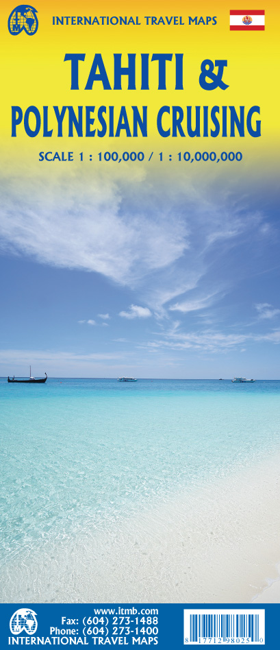
Wegenkaart - landkaart Tahiti & Polynesian cruising | ITMB

Aan de ene kant een degelijke kaart  van Tahiti, schaal 1:100.000, met aanduidingen van o.a. nationale parken, vliegveld, benzinepomp, dirt-roads. As overzichtskaart goed te gebruiken.

Aan de andere kant een overzicht van cruise routes in Polynesië, schaal 1:10.000.000

Abonneer op