Goede gedetailleerde kaart van Cyprus. De kaart is tweezijdig en gedrukt op scheur- en watervast papier. Voelt zwaarder aan, maar gaat langer mee! Kaartbeeld is helder met een mooi kleurgebruik waarbij je goed kunt zien hoe de hoogteverdeling is. Wegen en spoorlijnen staan er goed op, maar ook bijvoorbeeld extra aanduidingen voor bezienswaardigheden, campings en zelfs benzinepompen.
Cyprus is a lovely Mediterranean island; a popular tourist destination for Europeans. It is also a very historic island, with roots going back to Phoenician times and probably before. Politically, the island is divided into Turkish-controlled Northern Cyprus and EU-member Cyprus, the southern two-thirds of the island. Most travel is to the southern portion, with numerous resort hotels and beaches lining the coast. This is also the most economically-developed part of the island, as the northern portion has not been recognized by anyone except Turkey, which still maintains a significant military presence in areas they control. It is possible for tourists to pass through the green zone in Nicosia from south to north and back safely and efficiently. The north portion is, in my opinion, more interesting simply because it is less travelled. When we were visiting the island to research it, we spent most of our time driving mountainous roads, discovering interesting villages (and occasionally, military outposts), but we never felt fearful or were harassed by anyone. To me, the most fascinating part of the island was the very contentious Famagusta city area right on the border that is now an abandoned city covering many blocks of high-rises. We were able to drive through quite a bit of it before being waved off by Turkish soldiers. Regardless of politics, the island is a dream resort for anyone. We have tried to be fair to both sides of this divided island; a wonderful place to explore or enjoy on a beach North or South! Legend Includes: Roads by classification, Rivers and Lakes, National Park, Airports, Points of Interests, Highways, Main Roads, Zoos, Fishing, and much more...
€ 13.95
€ 21.95
This annual list ranks the planet's must-visit countries, cities and regions for 2025. As we re-engage with the world with a new appreciation for what a privilege and responsibility travel is, Lonely Planet has drawn on the knowledge of our global community of experts to curate a collection of experiences that will inspire you to reconnect with the world.
We also reveal how you can have a positive impact as you return to the road, with practical advice that will help you to make sustainable travel choices, support local communities and celebrate inclusivity.
Inside Best in Travel 2025 you will discover:
A reflective view on travel in a post-pandemic world
Lonely Planet's top 10 countries, cities and regions to visit in 2025
Inspiration and guidance for every destination to help travellers make it happen
Expert advice on how to protect the areas you visit on your travels
About Lonely Planet: Lonely Planet is a leading travel media company, providing both inspiring and trustworthy information for every kind of traveller since 1973. Over the past four decades, we've printed over 145 million guidebooks and phrasebooks for 120 languages, and grown a dedicated, passionate global community of travellers. You'll also find our content online, and in mobile apps, videos, 14 languages, armchair and lifestyle books, ebooks, and more, enabling you to explore every day.
€ 37.50
Ontdek 60 adembenemende nationale parken in Europa met Lonely Planet. Betreed een wereld met kustdorpen op een heuveltop, bevroren arctische landschappen en uitgestrekte bergketens. Deze prachtige kennismaking met Europa’s nationale parken bevat panoramische fotografie, originele illustraties, aanbevolen routes, belangrijke bezienswaardigheden, praktische informatie en tips. De Europese nationale parken bieden een boeiende mix van verbluffende natuur, buitengewone dieren en talloze activiteiten.
€ 22.99
Onderweg naar alle landen van de wereld, beleeft Boris Kester het ene na het andere avontuur. Uiteindelijk steekt hij bij Cullaville de grens over naar zijn laatste land.
Aan de hand van zestien verhalen neemt DE LANGE WEG NAAR CULLAVILLE je mee naar onder andere Jemen, Congo, Nauru en Afghanistan. Dankzij zijn rijke beschrijvingen laat de auteur je zien hoe het is om in ongewone landen te reizen. Zijn verhalen zijn meeslepend en onderhoudend, adembenemend en ontroerend. Ondertussen laat hij je nadenken over de risico’s van reizen en de allesbepalende invloed van het lot.
DE LANGE WEG NAAR CULLAVILLE is allereerst bedoeld voor wie van reizen houdt en wellicht zelf van plan is om alle landen van de wereld te bezoeken. Het is beslist ook een aanrader voor diegenen die nieuwsgierig zijn naar ongebruikelijke bestemmingen en daar liever over lezen. Eén ding is zeker: dit boek zal je anders naar de wereld laten kijken.
Boris Kester is senior purser, programmeur, politicoloog, fervent sporter en avonturier. Hij deelt zijn reisfoto’s en verhalen op www.traveladventures.org. Wereldwijd is hij een van de circa 200 mensen die alle landen op aarde hebben bezocht. Volgens de gezaghebbende reissite nomadmania.com is Boris de hoogst genoteerde Nederlandse reiziger.
€ 15.50
Praktische fietsgids met detailkaarten, ingetekende route, informatie over overnachten en fietsenmakers, zwaarte en hoogteprofiel. In spiraalbinding, Duitstalig, scheur- en watervast papier
Ronde van Nederland – auf dieser ausgedehnten Rundtour durch die Niederlande erfahren Sie, warum diese als das Land der Windmühlen, der Tulpen und des Käses gelten, vor allem aber als das Fahrradland schlechthin. Davon abgesehen werden Sie feststellen, dass die niederländischen Provinzen trotz der Flachheit des Landes eine erstaunliche Vielfalt verschiedener Landschaftsformen zu bieten haben und das Wasser in allen denkbaren Erscheinungsformen fast allgegenwärtig ist. Neben ausgedehnten Wäldern und weiten Heidelandschaften treffen Sie auf die einzigartige Welt der stets bewegten Dünen, auf urwüchsige Moore und stille Flussauen. Zwischendurch kommen Sie neben den zahlreichen Dörfern in schöner Regelmäßigkeit durch pittoreske und gemütliche Städtchen, die zum Innehalten einladen – sei es nun im Ortskern, einem schönen Park oder am Hafen. Zahlreiche Einkehrmöglichkeiten am Wegesrand verlocken zu ausgedehnten Pausen und zum Kennenlernen der niederländischen Küche.
€ 9.95
De stadsplattegronden van Lonely Planet zijn uitgevoerd op scheur- en watervast papier, zijn lichtgewicht en kennen een handig formaat. Het centrum van de stad is in heldere kleuren in beeld gebracht met straatnamen, bezienswaardigheden en symbolen voor openbaar vervoer. Op de achterzijde staat informatie over de toeristische hoogtepunten en in de meeste gevallen een schematische plattegrond van het openbaar vervoer. Met een register.
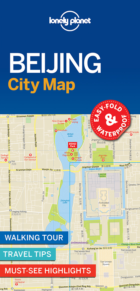
Durable and waterproof, with a handy slipcase and an easy-fold format, Lonely Planet Beijing City Map is your conveniently-sized passport to traveling with ease. Get more from your map and your trip with images and information about top city attractions, walking tour routes, transport maps, itinerary suggestions, extensive street and site index, and practical travel tips and directory. With this easy-to-use, full colour navigation tool in your back pocket, you can truly get to the heart of Beijing, so begin your journey now!
Durable and waterproof
Easy-fold format and convenient size
Handy slipcase
Full colour and easy-to-use
Extensive street and site index
Images and information about top city attractions
Handy transport maps
Walking tour routes
Practical travel tips and directory
Itinerary suggestions
Covers The Forbidden City, Dongcheng, Temple of Heaven Park, Beihai Park, Xicheng, Chaoyang, Haidian and more
Check out Lonely Planet Beijing, our most comprehensive guidebook to the city, covering the top sights and most authentic off-beat experiences. Or check out Lonely Planet Pocket Beijing, a handy-sized guide focused on the can't-miss experiences for a quick trip.
€ 8.95
Moses led-zaklamp Expeditie natuur robuust
Ideaal voor in het bos, camping of op het strand. Stevige zaklamp met goede grip. Vijf verschillende lichtstanden en een bereik van wel 20 meter! De zaklamp is IPX4-waterdicht.
€ 14.50
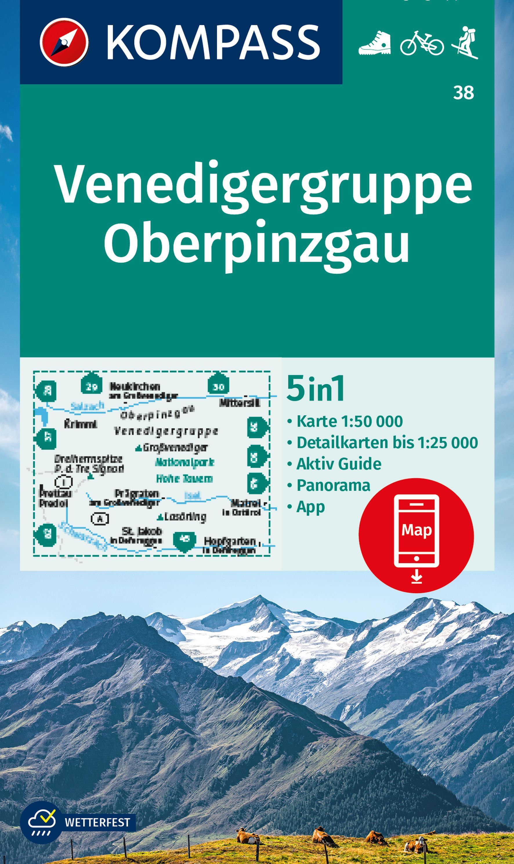
Goede wandelkaart met vrijwel alle topografische details als hoogtelijnen, vegetatie, schaduwtekening maar ook de ingetekende wandelroutes en in veel gevallen ook fietsroutes (MTB). Gevaarlijke routes worden als zodanig weergegeven met een bepaalde markering. Berghutten en campings zijn goed terug te vinden op deze kaarten.
Daarnaast staan de toeristische bezienswaardigheden met symbolen vermeld. Kleurgebruik kan soms vrij fel overkomen, daardoor oogt deze detailkaart wellicht wat druk, maar het blijft een goed leesbare kaart. Sommige kaarten zijn geplastificeerd, maar helaas niet allemaal. De graden staan aan de zijkanten van de kaart, daardoor te gebruiken voor GPS.
Steden/dorpen/gebieden:
Neukirchen (am Großvenediger), Krimml, Mittersill, Prettau, Prägraten, Matrei (in Osttirol), St. Jakob (in Defereggen), Hopfgarten (in Defereggen)
Bergen/dalen:
Großvenediger, Dreiherrenspitze, Lasörling
Rivieren/meren:
Isel, Salzach, Schwarzach
€ 17.99
Liefhebbers van kaarten, atlassen en puzzels wisten editie 1 van Het Grote Bosatlas puzzelboek (meer dan 70.000 exemplaren verkocht) massaal te vinden. We grepen deze tweede editie aan om nóg meer mooie kaarten te verzamelen en daar passende puzzels bij te maken, waaronder nu ook rebussen. Hiermee reizen we van Den Bosch tot China, zien we de start van het toerisme in Europa en worden de tempelsteden van Zuid-India bezocht. Door te kijken naar kaarten en aan de hand daarvan puzzels in te vullen wordt je kennis van de aardbol en haar geschiedenis getest.
Ken je de namen van internationale vluchthavens? Weet je gebeurtenissen uit WOII te koppelen aan de juiste locatie? Of wijn aan de wijnstreek? Een ware ontdekkingsreis dus, verdeeld in de thema’s Nederland, Op reis, Europa en Wereld.
Cartograaf Tjeerd Tichelaar en uitgever Peter Vroege zijn allebei al jaren betrokken bij het maken van de Bosatlas. Hun vakkundigheid en liefde voor kaarten komen samen in dit puzzelboek. Denksport is dé puzzelmaker van Nederland en België. Of het nu gaat om een sudoku, woordzoeker, kruiswoordraadsel of cryptogram; Denksport heeft het allemaal en op elk niveau.
Ons gevarieerde aanbod is niet alleen ontspannend, maar ook nog eens goed voor het brein. Iedereen kan puzzelen met Denksport! Review deel 1: ‘Het allerleukste puzzelboek ooit. Zeer verslavend en wat een mooie koppeling tussen puzzelen, aardrijkskunde en geschiedenis’
€ 8.95
Ontdek meer over het zonnestelsel met deze 'fun with science' mobiel. Versier jouw kamer met dit mobiele zonnestelsel en leer tegelijkertijd de planeten kennen! Het kunststof zonnestelsel heeft een doorsnede van 50 centimeter.


