Zoals je van Michelin mag verwachten is deze kaart zeer overzichtelijk en heeft een duidelijk helder kaartbeeld. De kaart geeft uitgebreid toeristische informatie weer. Met register, afstanden en reistijden.
Wegen worden naar verschillende klasse ingedeeld en - mooi van Michelin - de interessante mooie routes worden gemarkeerd met een groene streep.
Hindernissen voor automobilisten met caravans zijn gemarkeerd: steile hellingen, bergpassen of een anderzins moeilijke route. Bezienswaardigheden als een kasteel, religieus gebouw, ruine of grot is door een symbool goed te vinden. De perfecte overzichtskaart, eenzijdig gedrukt! Op één puntje na: er staan geen benzinepompen op ..... dat is dan jammer voor de vele reizigers met eigen auto.
Hiroshima, Japon, Kumano Kodo, Kyoto, Matsushima, Mont Fuji, Nara, Takayama, Tokyo
€ 12.95
€ 16.50
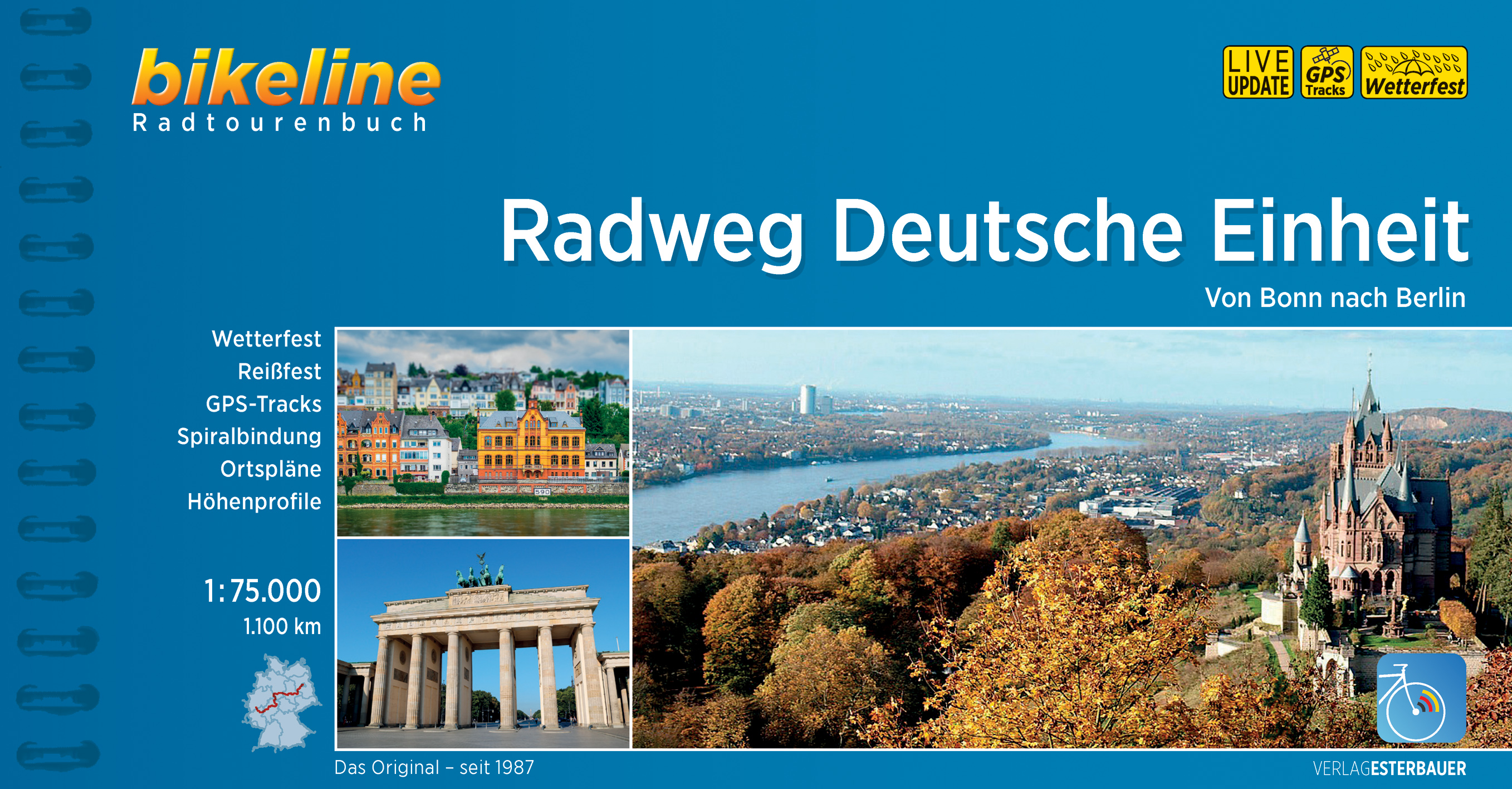
Praktische fietsgids met detailkaarten, ingetekende route, informatie over overnachten en fietsenmakers, zwaarte en hoogteprofiel. In spiraalbinding, Duitstalig. Nu met watervaste geplastificeerde kaarten!!
Vor fast drei Jahrzehnten fiel die Mauer – und ein Jahr später hieß die bundesdeutsche Hauptstadt nicht mehr Bonn, sondern wieder Berlin. Der Radweg Deutsche Einheit verbindet die geschichtsträchtigen Großstädte an Rhein und Spree. Zum 25. Jahrestag der Deutschen Einheit vom Bundesministerium für Verkehr und digitale Infrastruktur initiiert, symbolisiert er das Zusammenwachsen der deutsch-deutschen Verkehrsinfrastruktur. Gehen Sie auf eine Reise durch sieben Bundesländer und folgen Sie dabei den vielfältigen und spannenden Spuren der Deutschen Einheit. Auf 1.100 Kilometern lernen Sie einige der schönsten Landschaften Deutschlands kennen, durchfahren dabei große und kleinere Flusstäler, berühren tiefe Wälder und etliche Mittelgebirge. Unterwegs treffen Sie zudem auf regionale Besonderheiten aller Art, auf verschiedenste Mentalitäten und Dialekte. Ganz nebenbei ergibt sich noch ein Querschnitt durch die deutsche Küche!
€ 20.50
De ‘Rother Wanderbücher’ behandelen telkens de 40 mooiste wandelingen, die variëren van eenvoudige kindvriendelijke wandelingen tot routes die aanzienlijk meer ervaring vereisen. Uitvoerige routebeschrijvingen, een aantrekkelijke lay-out met vele kleurenfoto’s, niets aan duidelijkheid te wensen gelaten hoogteprofielen, kaartjes met de ingetekende route en enige achtergrondinformatie. Het verschil met de rode wandelgidsjes van Rother is dat ze een groter gebied bestrijken: handig voor de één, minder bruikbaar voor de ander.
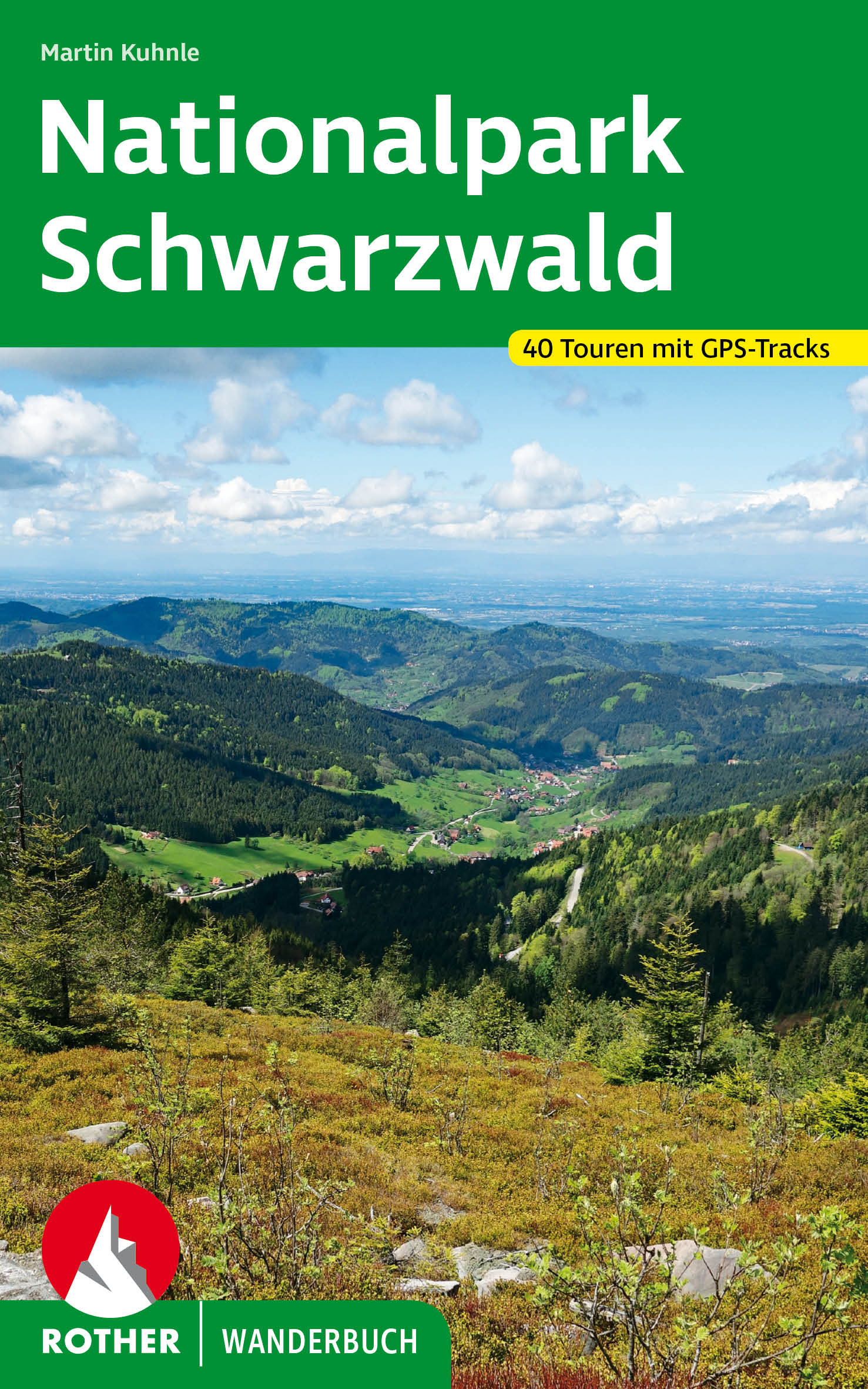
Erholungs- und Wanderparadies Schwarzwald – das ist schon für sich ein Traum! Zu toppen ist es nur durch das Ambiente des ersten Nationalparks in Baden-Württemberg. Hier darf sich der Urwald von morgen entwickeln, und der Wanderer erlebt die Natur ohne den Eingriff menschlicher Tätigkeit.
Der erfahrene und zertifizierte Wanderführer Martin Kuhnle führt in dem Rother Wanderbuch »Nationalpark Schwarzwald« auf Touren, die alle Aspekte des Waldes abbilden. Auch vom Anspruch her ist für jeden etwas dabei, von der gemütlichen Familien-Nachmittagsrunde bis zur fordernden Bergtour. Zahlreiche Infoboxen beschreiben Wissenswertes zu Geschichte, Geologie und vielem mehr.
Sorgfältig recherchierte Touren, verlässliche Wegbeschreibungen, detaillierte Informationen zu Einkehr und Anforderungen sowie aussagekräftige Höhenprofile und detaillierte Kartenausschnitte machen alle Tourenvorschläge leicht und sicher nachvollziehbar. Ergänzend stehen GPS-Daten zum Download von der Internetseite des Bergverlag Rother bereit. Zahlreiche Fotos stimmen auf ein genussvolles Wandern ein.
€ 16.50
Engelstalige cultuurgids, gericht op musea en culturele geschiedenis. Zeer goede beschrijvingen van hoog nivo. Voor de liefhebber de ware gids! Veel tekeningen en plattegronden.
The Black Sea, hostile and hospitable by turns, a land of towering mountain peaks, green tea plantations and thick forests, has always attracted civilisation to its shores: Hittites, Greeks and Romans, Seljuks and Ottomans, Georgians and Armenians, Genoese and Venetians, have all left their traces here. This scholarly and intrepid guide visits all the provinces of the Turkish Black Sea region, delving into their history and discovering all the present-day reasons for a traveller to go there. There are many.
€ 12.95
Een schitterend geïllustreerd reisdagboek voor reizigers met de bestemming Afrika. Met dit inspirerende dagboek blijft een herinnering aan deze landen levend. Er is volop gelegenheid voor het maken van aantekeningen en dagboeknotities.
€ 10.95
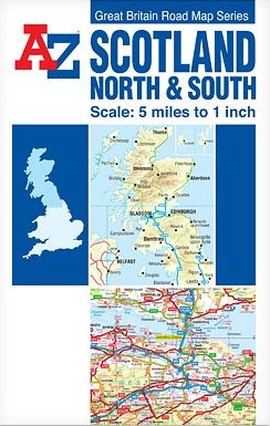
The Great Britain Road Map series comprises of five fold-out sheet maps which together cover the whole of Great Britain. Shown at a scale of 5 miles to 1 inch, a continuous grid referencing system permits several or all of the sheets to be mounted together whilst retaining index compatibility.
This A-Z map of Scotland North and South is a full colour, double-sided, fold-out road map.
The Northern Scotland map covers the mainland of northern Scotland from Oban and Perth in the south to Cape Wrath and John o' Groats in the north, including the Isle of Skye, the Inner Hebrides and the Western Isles. The Orkney and Shetland Islands are featured in an inset map at a scale of approximately 12.5 inches to 1 mile.
The Southern Scotland map covers the remainder of Scotland southwards and a large section of Northern England to include Berwick-upon-Tweed, Newcastle-upon-Tyne, Middlesbrough, York, Skipton, Fleetwood, Whitehaven and Carlisle. The Isle of Man and part of Northern Ireland are also covered.
Instantly recognizable and easy to use, A-Z road mapping includes the following features:
Clear standard road classification colours for easy identification
Full motorway junction detail
Service areas, tolls and mileages
Primary routes and destinations
Under construction and proposed roads
Selected minor roads
A wide range of tourist locations
Hill shading sourced from Geo-Innovations© www.geoinnovations.co.uk
National and County boundaries
National Park boundaries
An index booklet is attached to the cover listing cities, towns, villages, hamlets and locations featured on the maps.
€ 17.50
Uitstekende wandelgidsvan de Dolomieten met een groot aantal dagtochten in dal en hooggebergte. Met praktische informatie en beperkt kaartmateriaal! Wandelingen in verschillende zwaarte weergegeven in rood/blauw/zwart.
56 Höhenprofile, 56 Wanderkärtchen im Maßstab 1:25.000, 1:50.000 und 1:75.000, zwei Übersichtskarten im Maßstab 1:500.000 und 1:600.000,
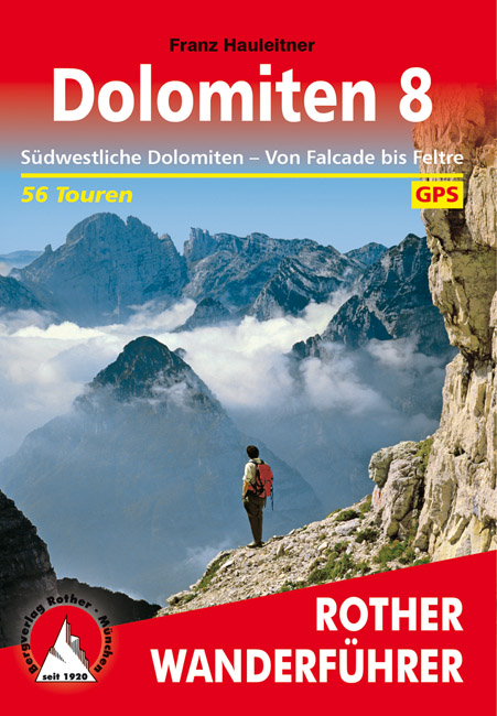
Fantastische Gipfelziele und Bergeinsamkeit – ganz im Südwesten, zwischen Falcade und Feltre, sind die Dolomiten noch ein Geheimtipp! Hier finden sich wahre Highlights wie die klangvolle Marmolata (oder auf Italienisch: Marmolada), höchster Gebirgsstock der Dolomiten, und die monumentale Palagruppe. Obwohl so bekannt, lassen sich hier viele Wandermöglichkeiten abseits des Trubels entdecken. Fast noch beeindruckender als diese Felsenpracht sind die noch weiter im Süden gelegenen Feltriner Dolomiten, die Monti del Sole und das Piavetal mit ihrer ungeheuren Vielfalt an Landschaftsformen und Naturschönheiten. Sie gehören zum Nationalpark der Belluneser Dolomiten – und hier trifft man auf ein noch weitgehend unangetastetes, wildes Bergland. Der Rother Wanderführer »Dolomiten 8« stellt 56 Touren vor – von einfachen markierten Wege bis zu anspruchsvollen Routen für Entdecker.
Exakte Wegbeschreibungen, detaillierte Kartenausschnitte mit eingezeichnetem Routenverlauf und aussagekräftige Höhenprofile erleichtern die Planung und Durchführung der Touren. GPS-Tracks stehen zum Download von der Internetseite des Bergverlag Rother bereit.
Der renommierte Bergbuchautor Franz Hauleitner ist Dolomiten-Spezialist schlechthin: Seine Rother Wanderführer »Dolomiten 1« bis »Dolomiten 8« decken das gesamte Dolomitengebiet mit insgesamt 430 Wandervorschlägen komplett ab. Er ist außerdem Autor der Rother Wanderführer über die zehn »Dolomiten-Höhenwege«.
€ 24.50
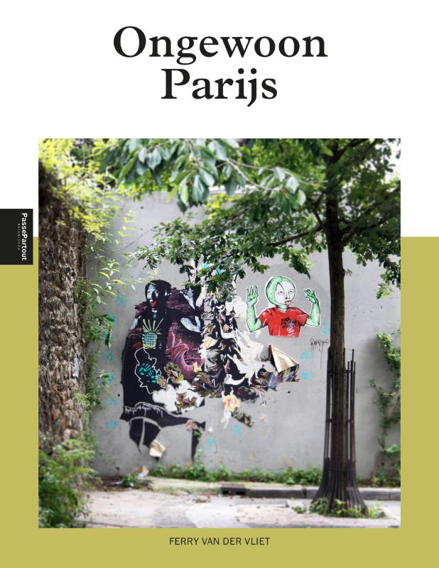
Herziene en geheel geactualiseerde editie. Een uitstapje naar de Lichtstad wordt nóg leuker als je dat kunt beleven met een echte ‘local’. Fiets of wandel mee met Ferry van der Vliet, Parijs blogger, fotograaf, lid van het Atelier Néerlandais en ambassadeur van Parijs. Wekelijks nodigt hij iedereen uit om de Franse hoofdstad te ontdekken. Zijn weblog Paris FvdV, met meer dan één miljoen volgers is driemaal genomineerd voor de Paris Golden Blog Awards. Met 'Ongewoon Parijs’ maak je op een inspirerende manier kennis met de Franse hoofdstad. Parijs is een van de spannendste hoofdsteden van Europa en heeft een welhaast magnetische aantrekkingskracht. In geen enkele andere stad ligt de schoonheid in zulke royale hoeveelheden voor het oprapen. De charme schuilt evenzeer in haar grootsheid als in haar verborgen schatten. Kleine achterafstraatjes, kleurrijke markten, exotische wijken, verborgen paleizen en stadstuinen; het kost weinig moeite om al dit moois te ontdekken want er is nauwelijks een wereldstad te vinden die zo’n goede infrastructuur heeft als Parijs. ‘Ongewoon Parijs’ laat je de stad zien alsof je wordt rondgeleid door een bevriende gids. Weg van de platgetreden paden, kortom het onbekende Parijs. Hij noemt ze zijn juweeltjes en dat is waar dit boek over gaat.
€ 17.50
Goede duitstalige wandelgids. Veel dagtochten, met gradaties en kleuren in zwaarte gerangschikt. Veel praktische informatie. Handzaam formaat.
50 Höhenprofile, 54 Wanderkärtchen im Maßstab 1:50.000, zwei Übersichtskarten im Maßstab 1:550.000 und 1:750.000
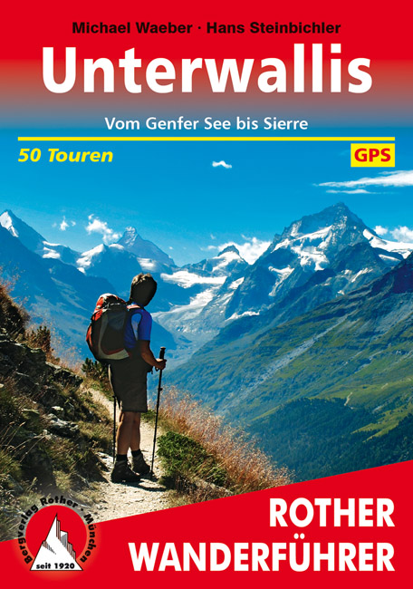
Wanderungen in den Walliser Alpen zählen zweifelsohne zu den vielseitigsten Erlebnissen, die der gesamte Alpenbogen zu bieten hat: uralte Wege von den Weinbergen des Rhônetals empor bis an den Rand des ewigen Eises; eine unerschöpfliche Vielfalt an Pfaden und Steigen auf sonnigen Hängen, manchmal den Suonen, historischen Wasserleitungen folgend; Genußbummeleien in lichtdurchfluteten Lärchenwäldern, längs wasserdurchtoster Schluchten und auf freien Rücken – stets mit Traumblicken zu den höchsten Bergen der Alpen zwischen Monte Rosa und Mont Blanc. Nirgendwo in den Alpen dauert die Wandersaison länger: Von Mitte März bis Mitte November können Sie die Wunder der Jahreszeiten in den unterschiedlichsten Höhenstufen zwischen dem mediterran geprägten Talboden der Rhône bis hinauf an den Saum der Gletscher erleben.
Michael Waeber und Hans Steinbichler, beide erfahrene Alpinjournalisten und exzellente Wallis-Kenner, haben ihren bisherigen Wanderführer »Wallis« nunmehr in die zwei Bände Ober- und Unterwallis geteilt, um dem reichhaltigen Wanderangebot des Bergkantons zwischen Grimselpaß und Genfer See in gebührendem Maße gerecht zu werden. Der vorliegende Band »Unterwallis« präsentiert 50 Tagestouren im welschen Teil des Rhônetals rund um die Städte Sion, Sierre und Martigny sowie im Val de Zinal, im Val d'Heréns, im Val de Bagnes und im Val d'Entremont. Im zweiten Band »Oberwallis« werden 49 Tagestouren und zwei längere Rund- bzw. Streckenwanderungen zwischen Grimselpaß und der Sprachgrenze bei Sion sowie in den Seitentälern rund um Zermatt, Saas und Fiesch vorgestellt.
Alle Tourenvorschläge sind detailliert und kenntnisreich beschrieben und werden durch eine farbige Abbildung sowie ein topographisches Wanderkärtchen im Maßstab 1:50.000 mit Routeneintrag illustriert. Zusammen mit dem Bändchen Oberwallis ein unverzichtbarer Führer für alle Wallisfreunde!
€ 18.95
Grote overzichtskaart van het continent waarbij vooral de politieke aspecten getoond worden. De landen hebben verschillende kleuren, grenzen zijn duidelijk weergegeven en de belangrijkste steden en verbindingswegen zijn ingetekend. Ook spoorlijnen zijn er goed op terug te vinden.
De gevouwen éénzijdige kaart is uitgevoerd op stevig papier en voorzien van een plastic laagje.


