

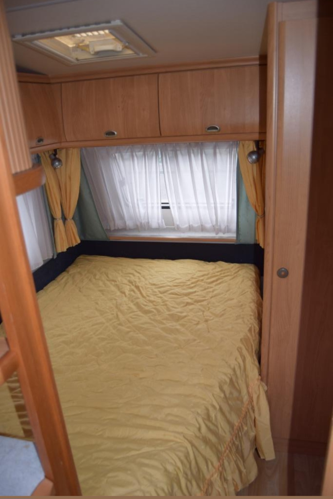
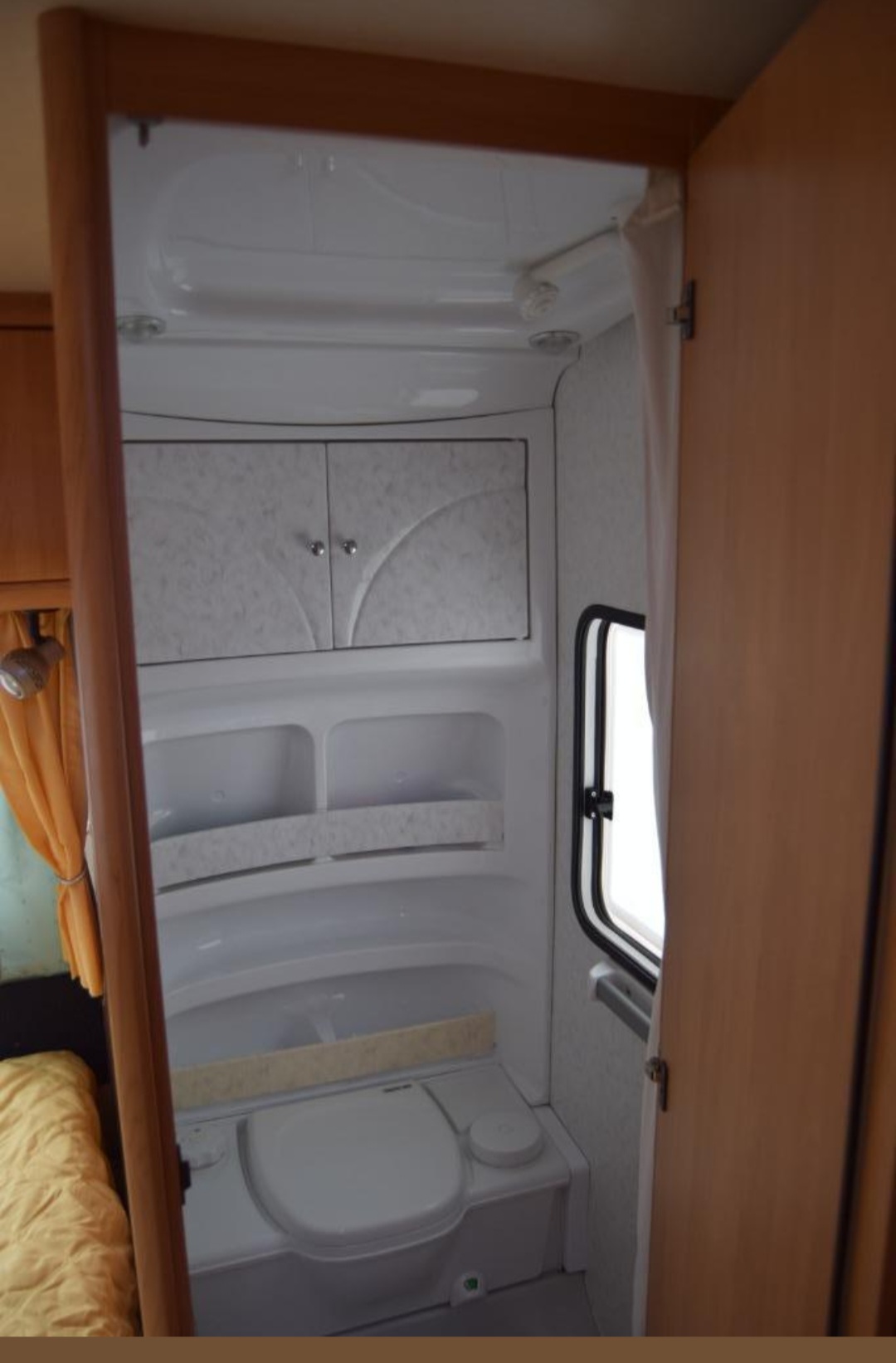
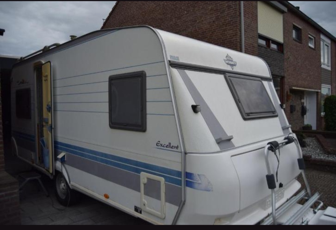
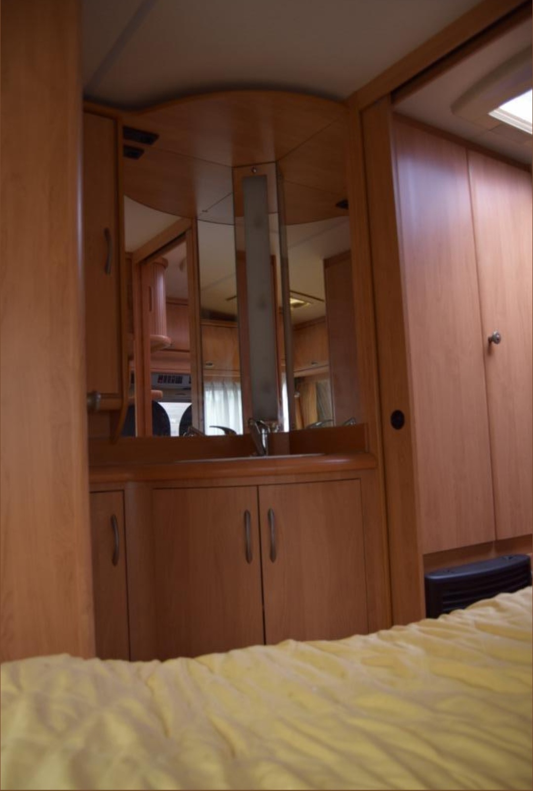
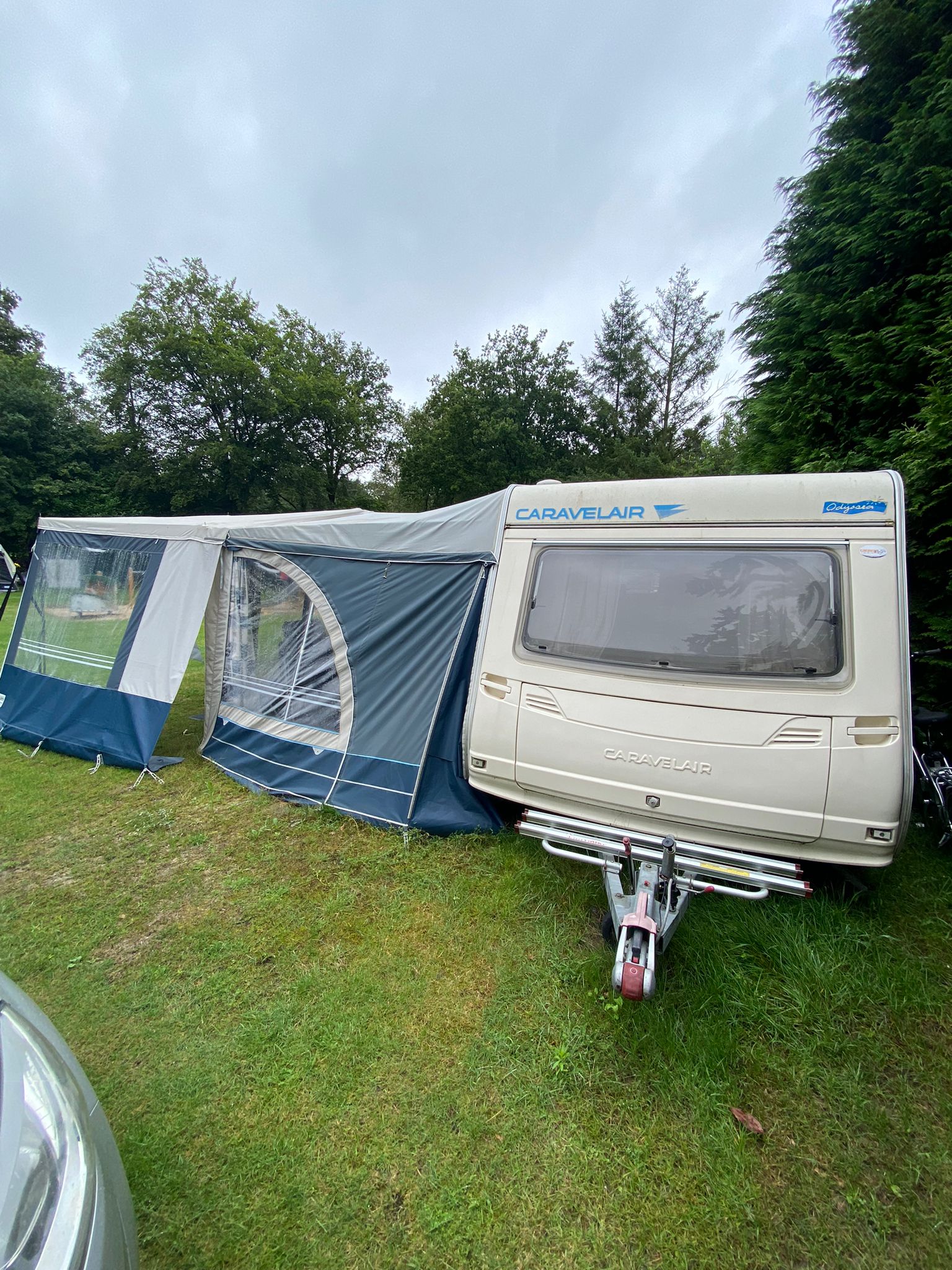
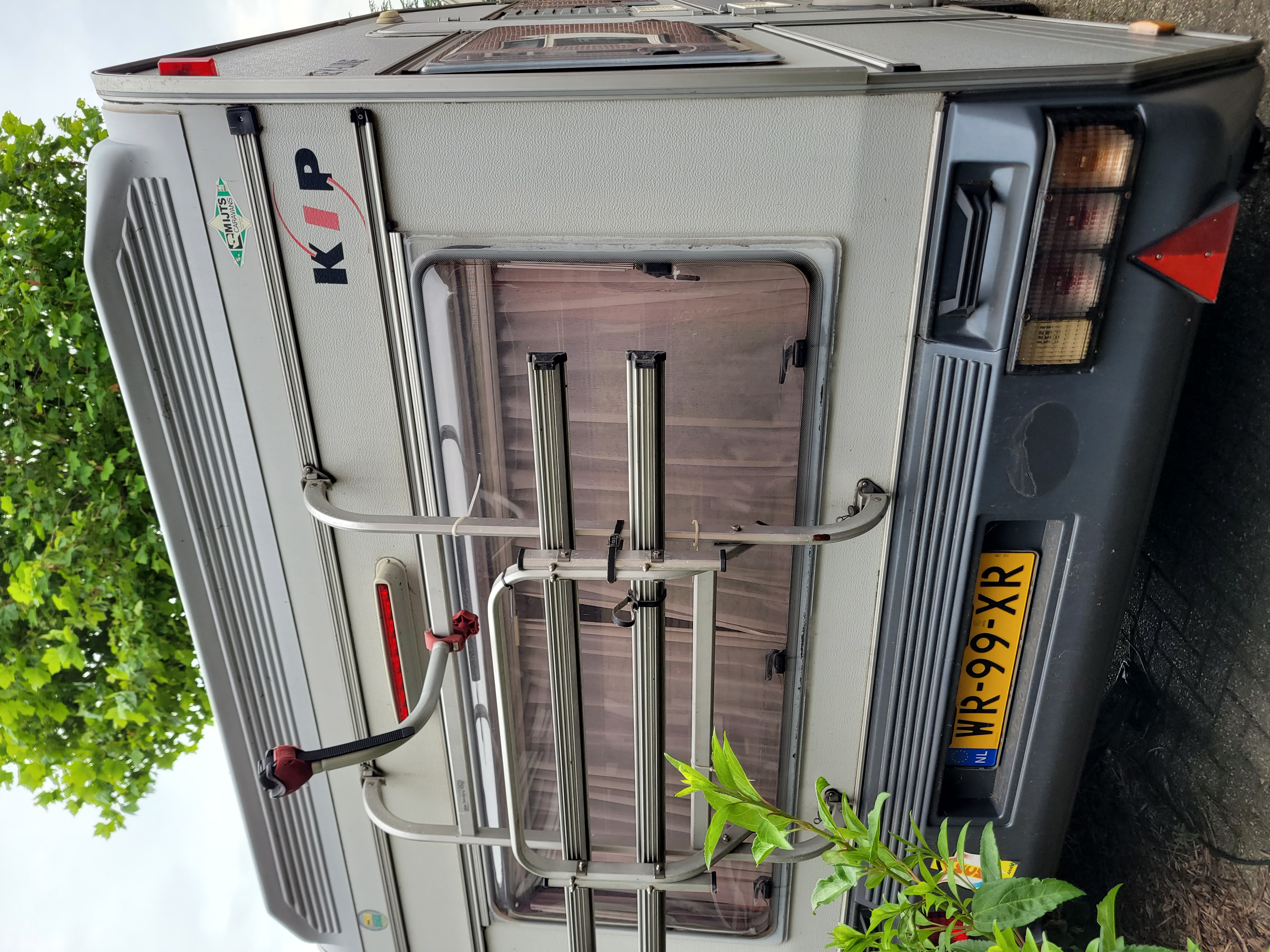
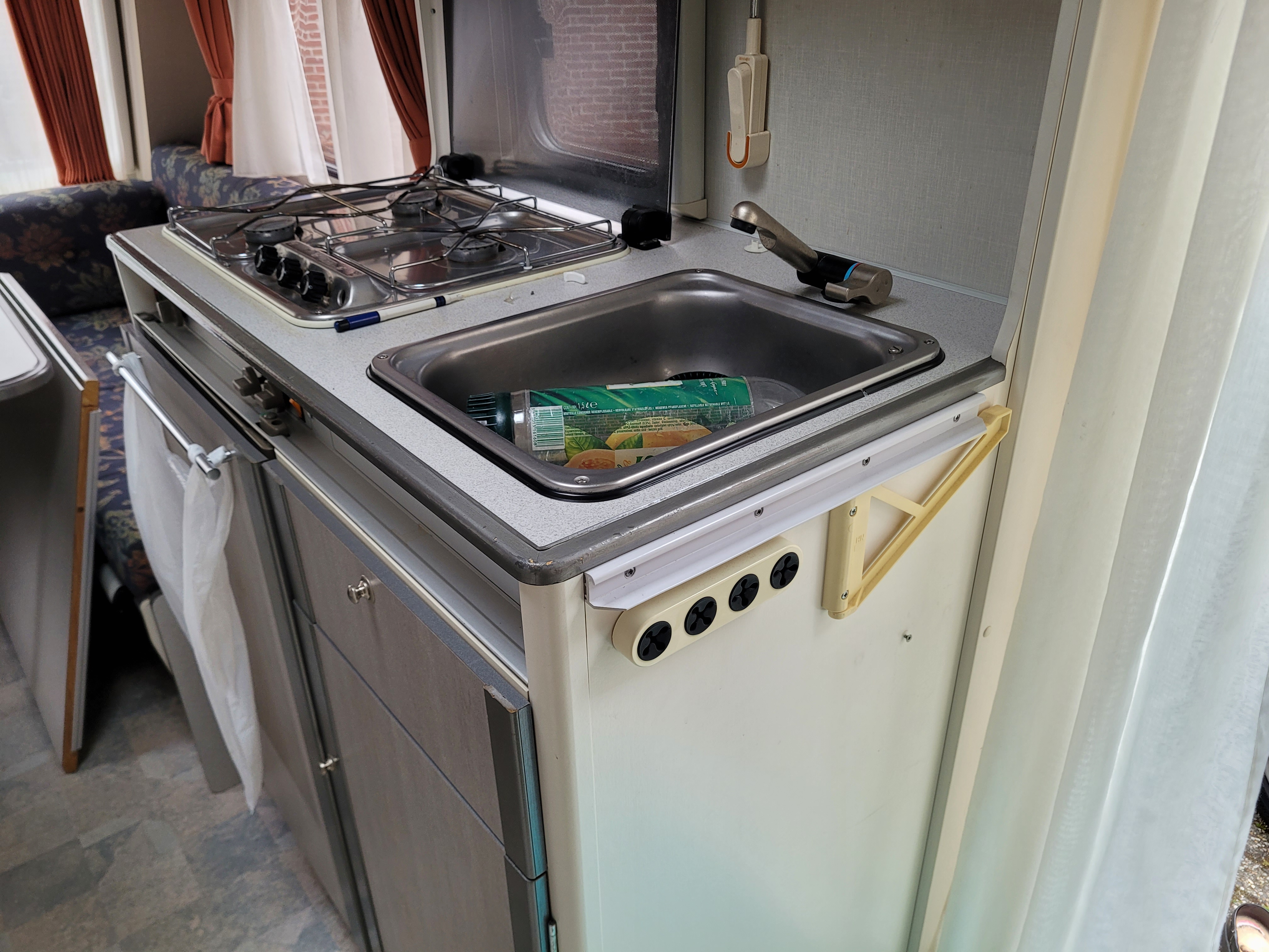
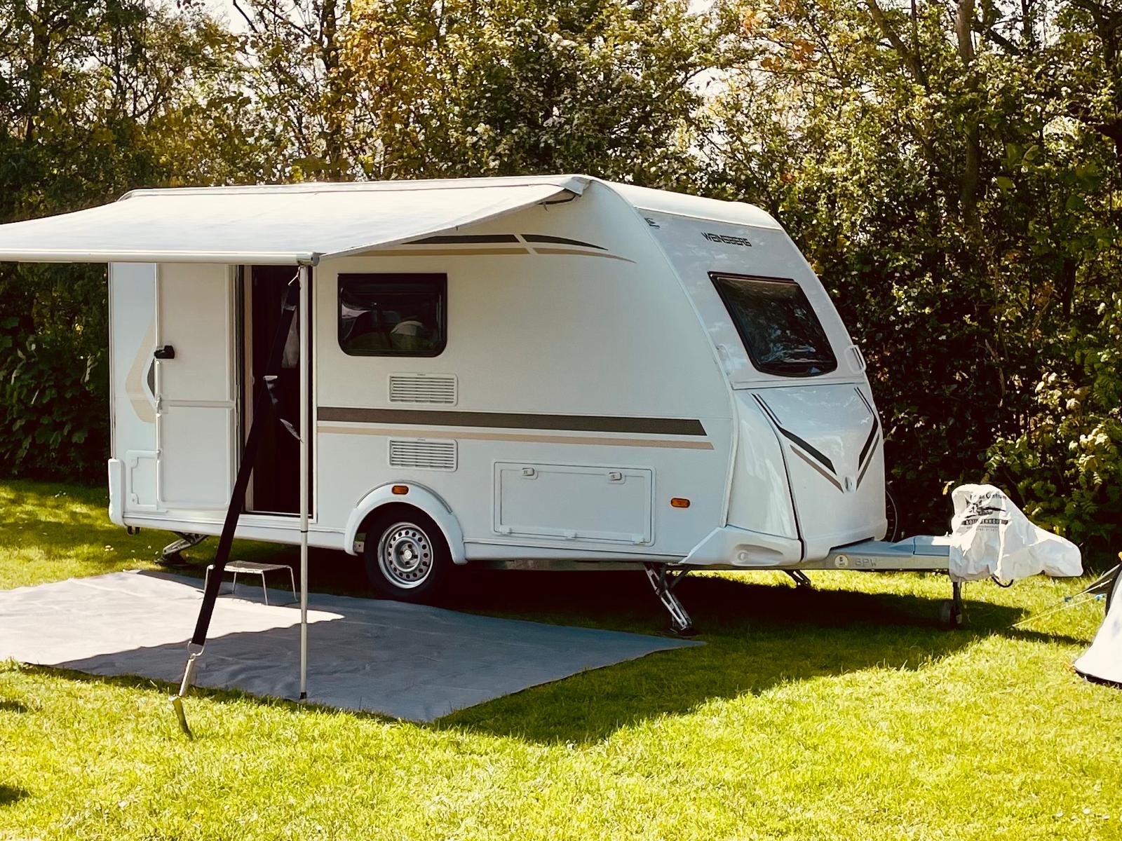
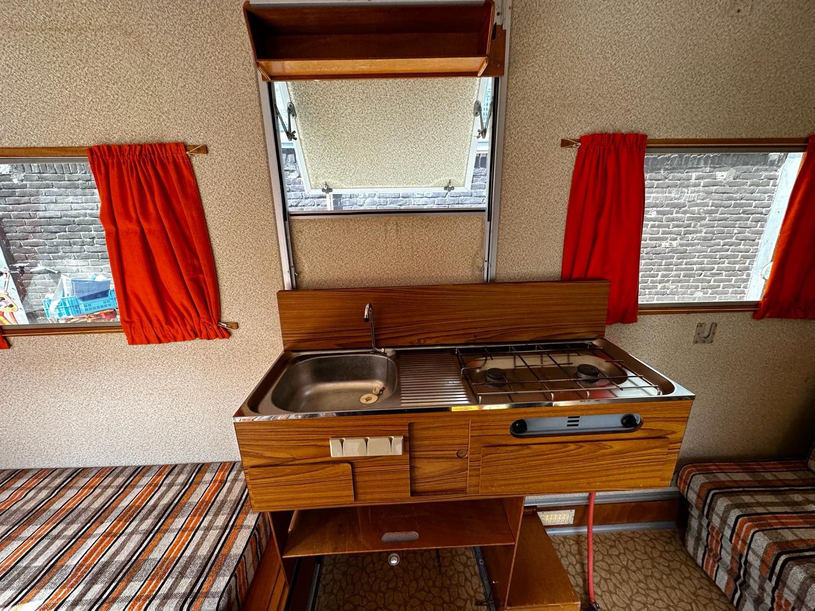
Ook in 2024 zullen de Europese wegen op verschillende zaterdagen weer volstromen.
Nieuwsbrief eencaravankopen.nl
Beste Anoniem,
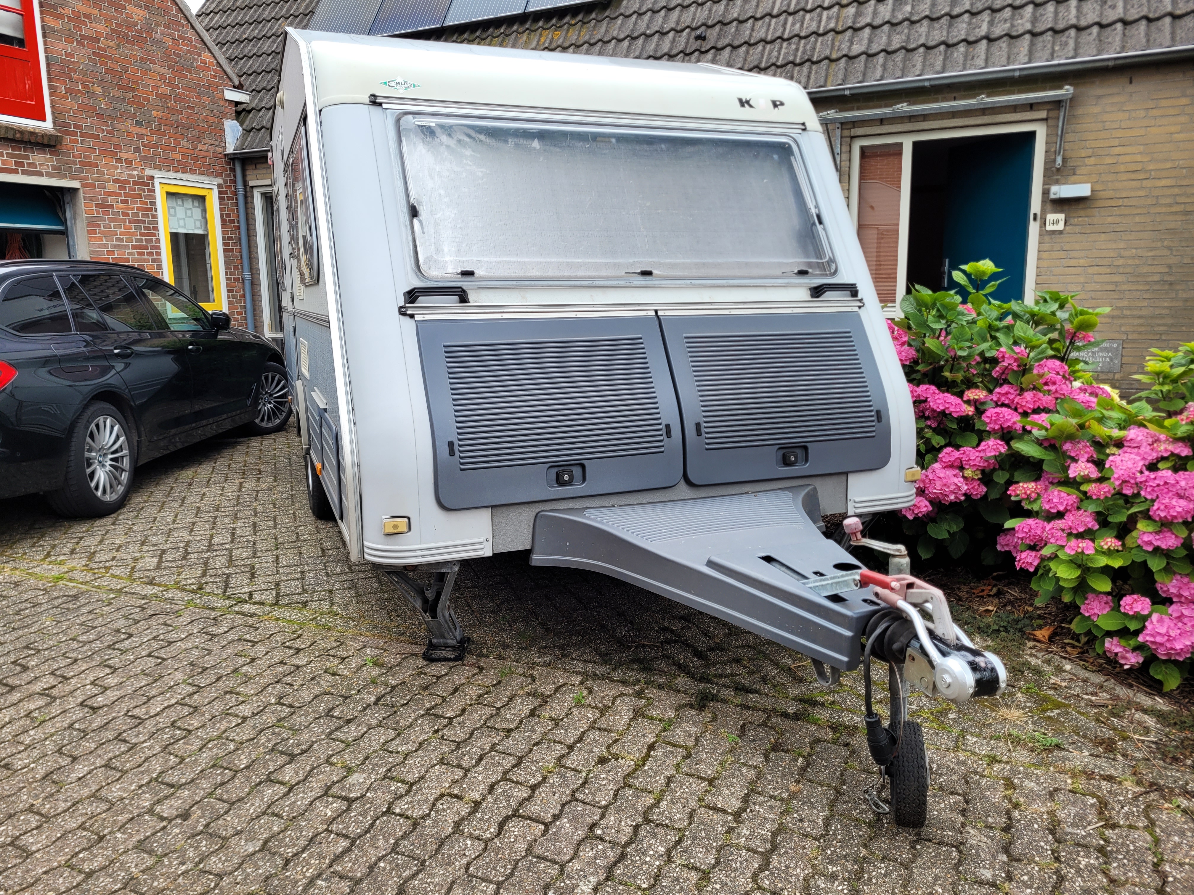
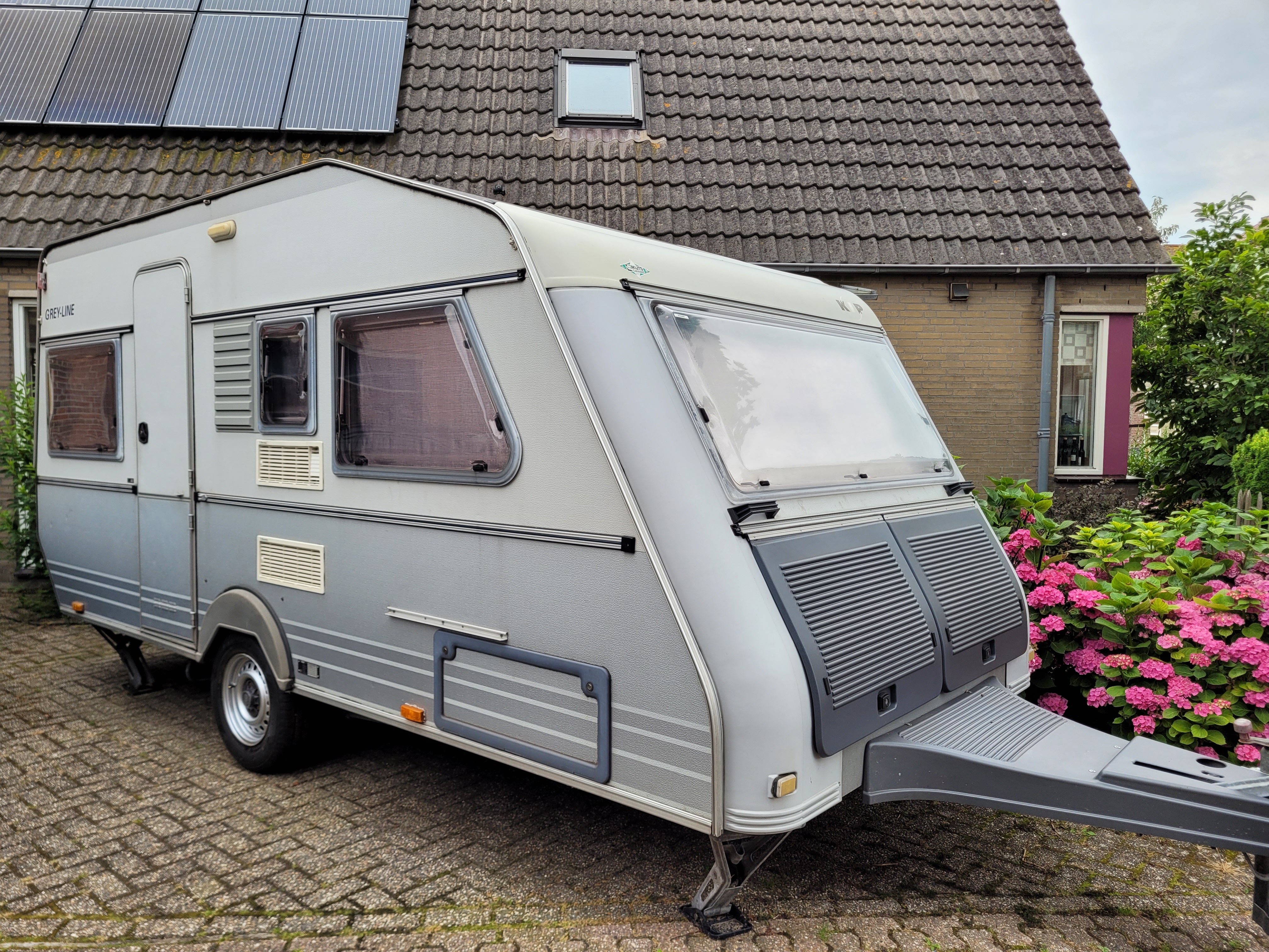
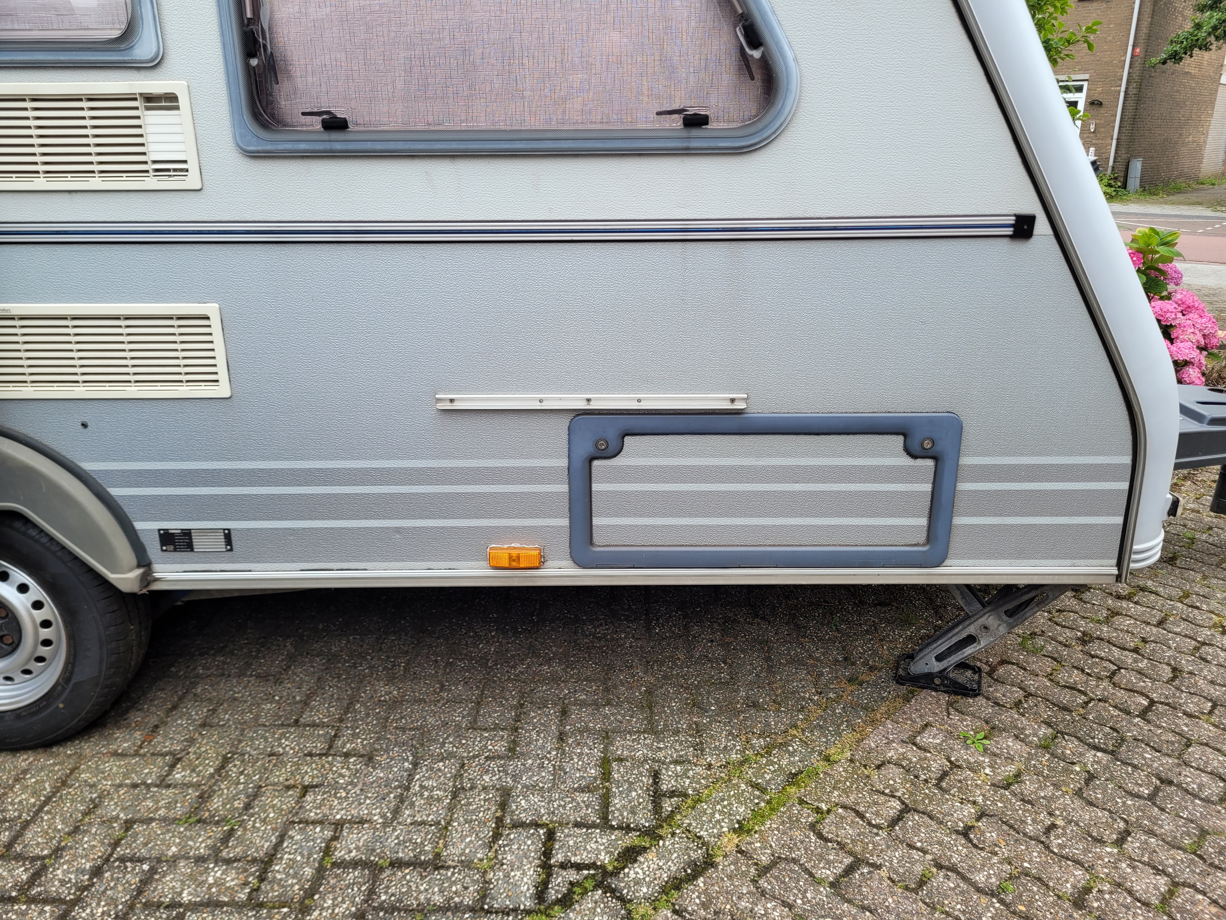
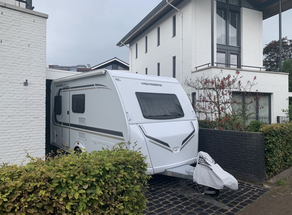
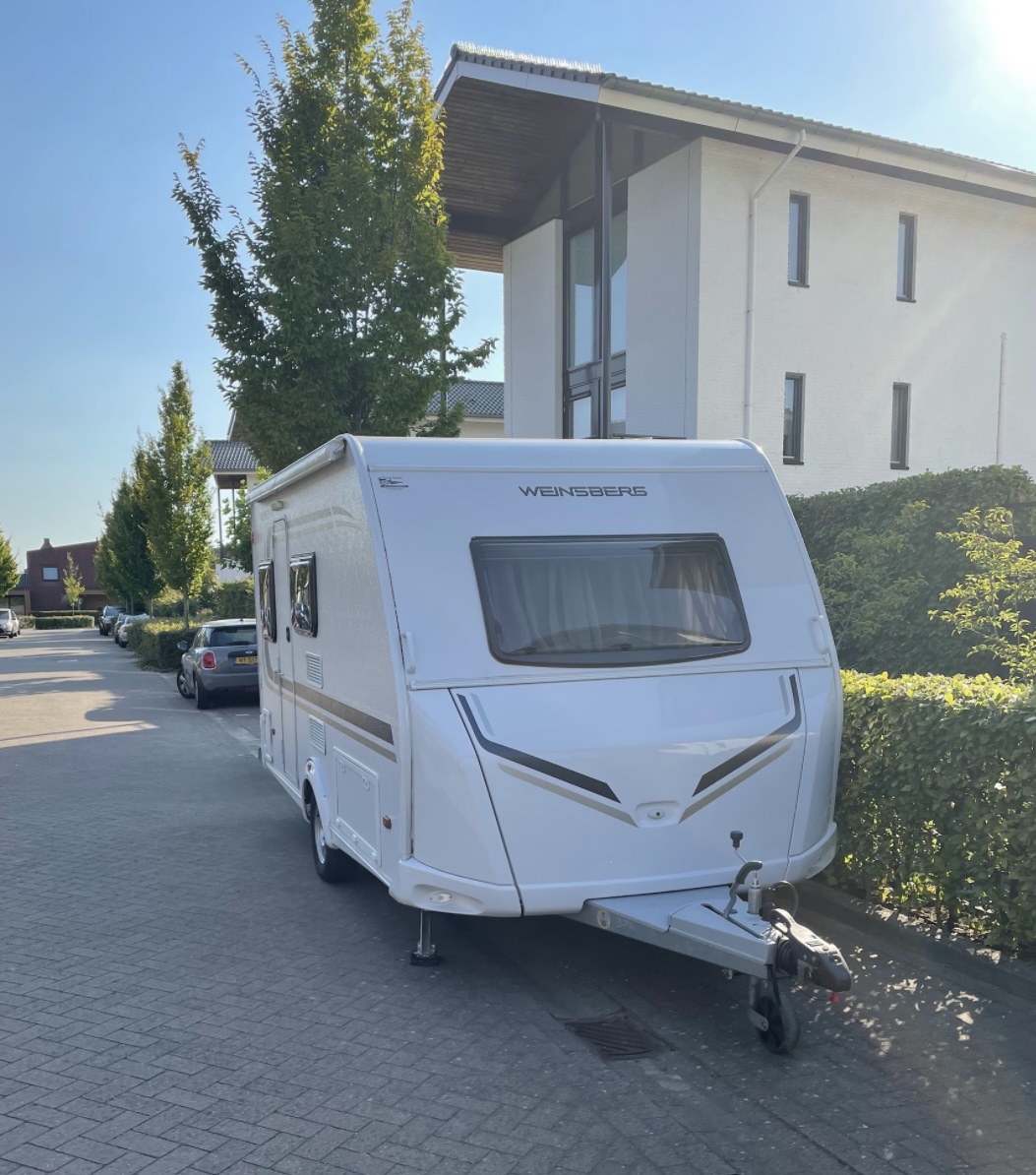
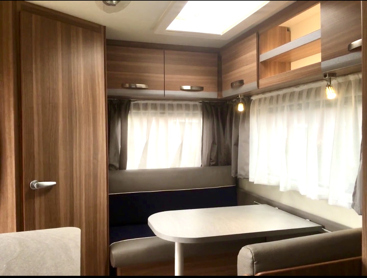
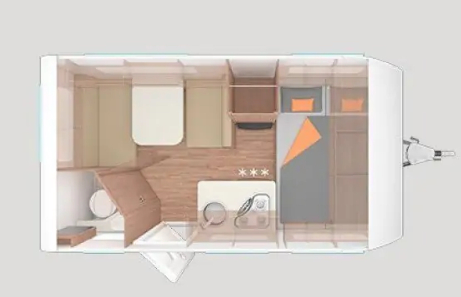
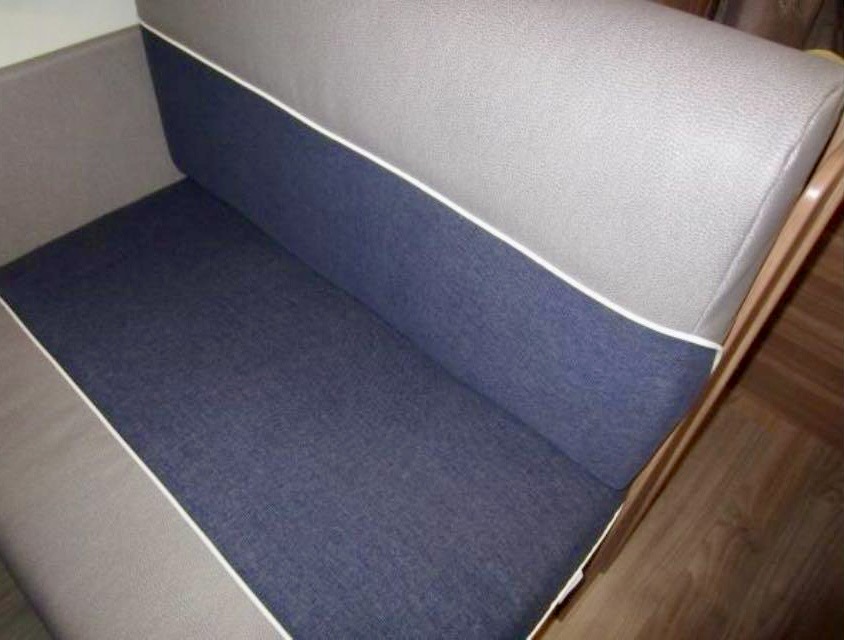
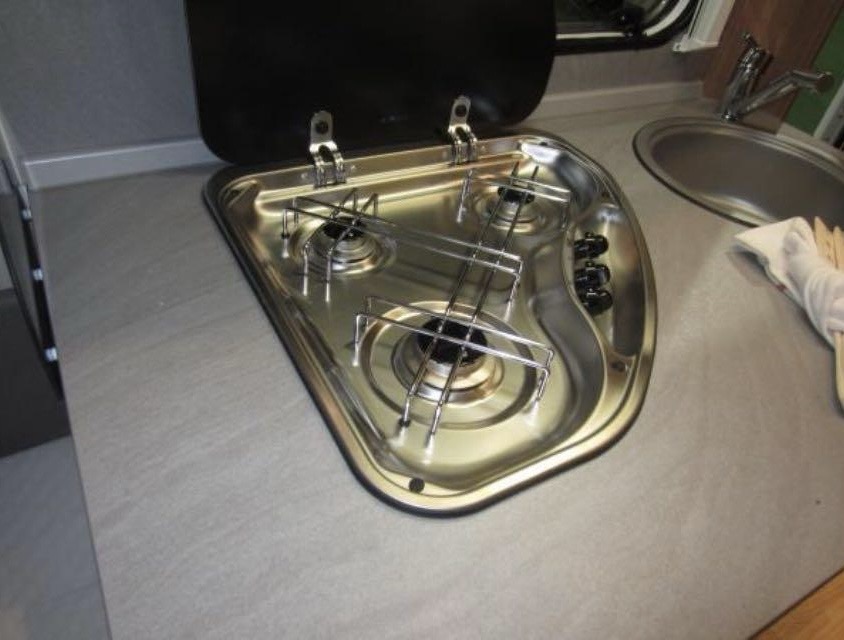
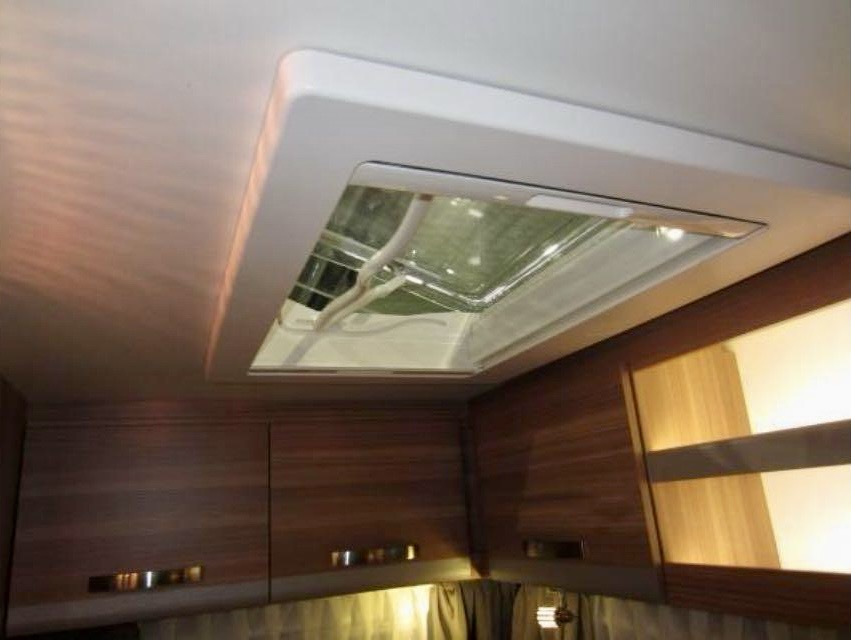
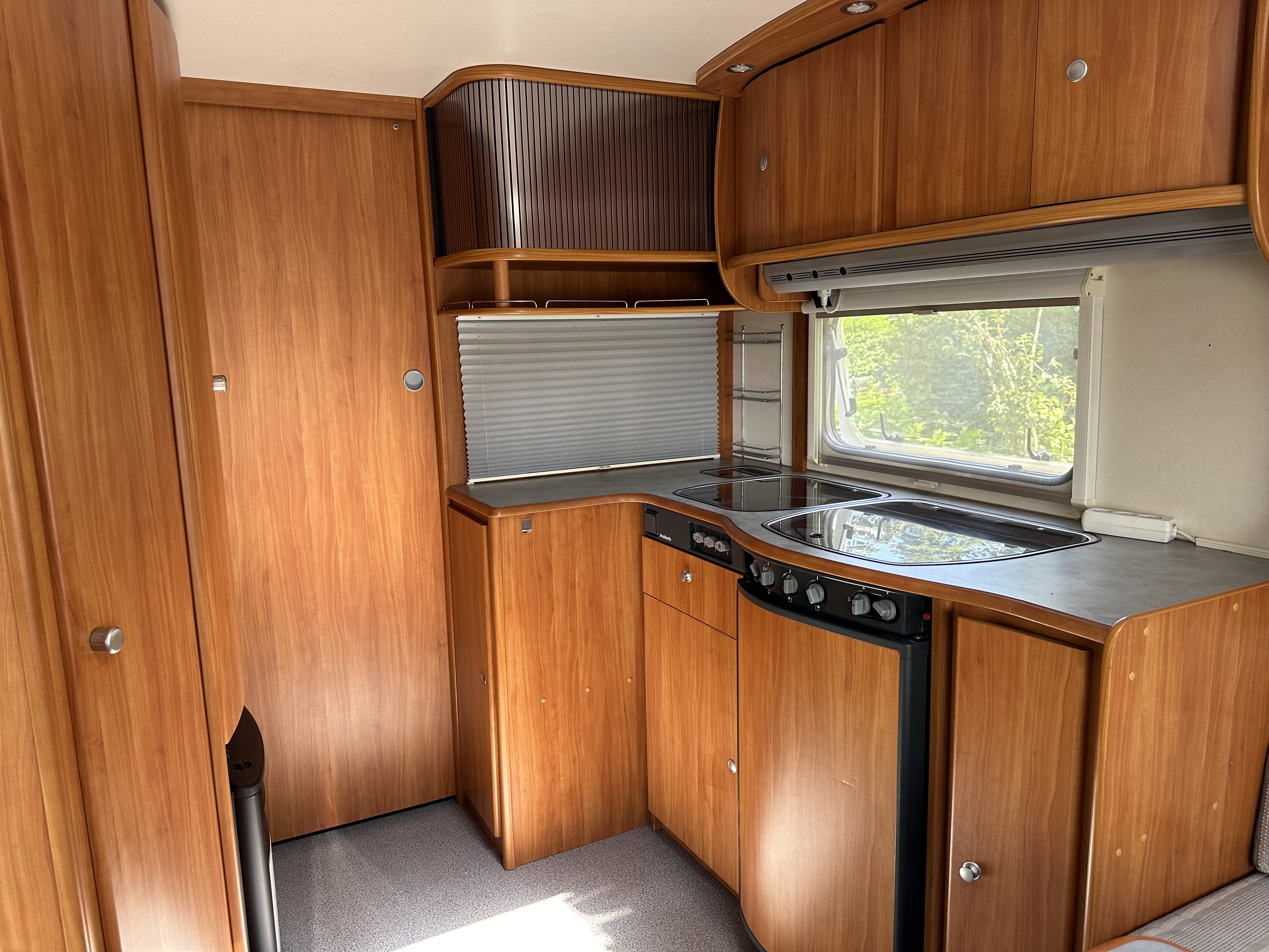
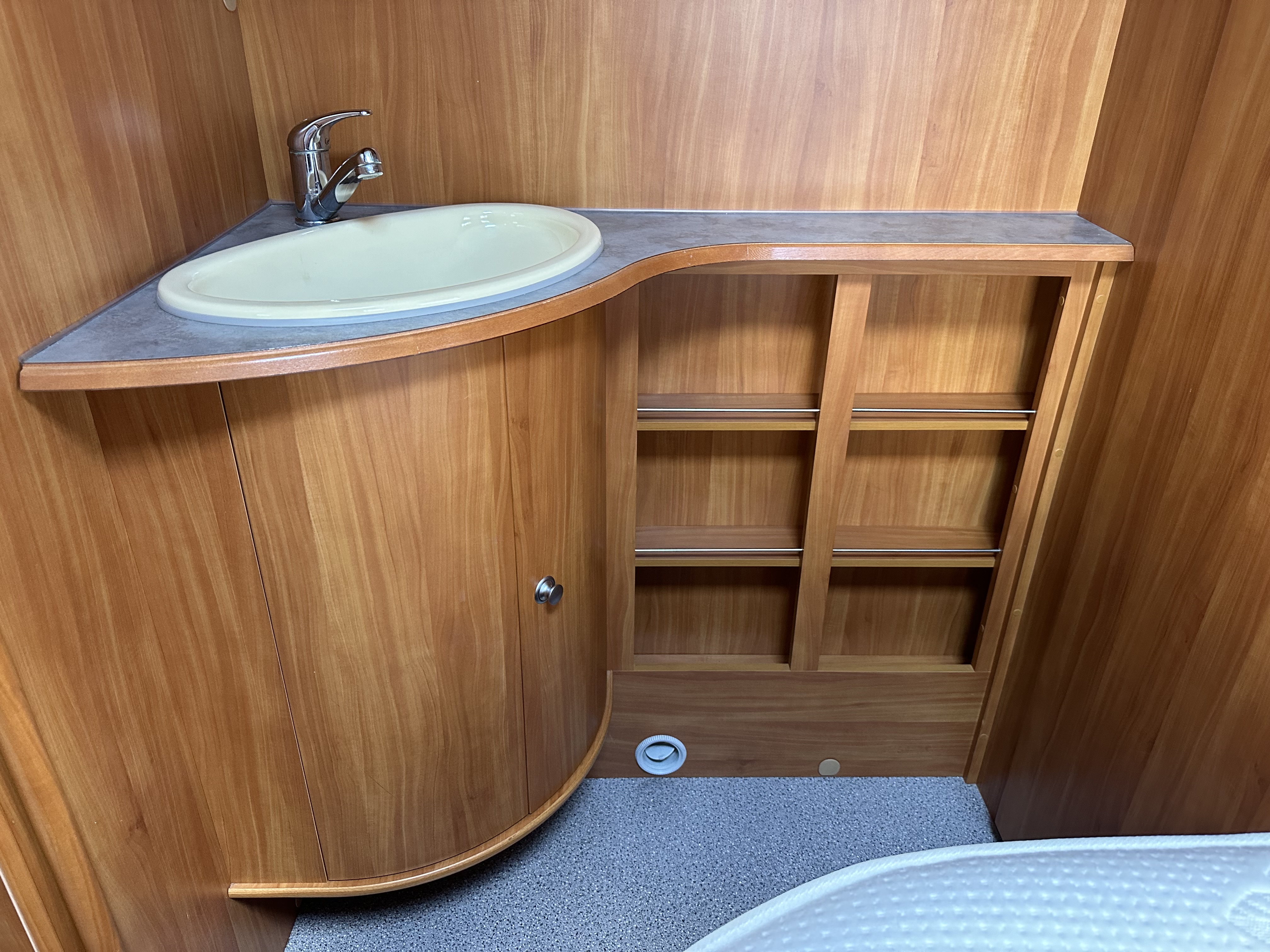
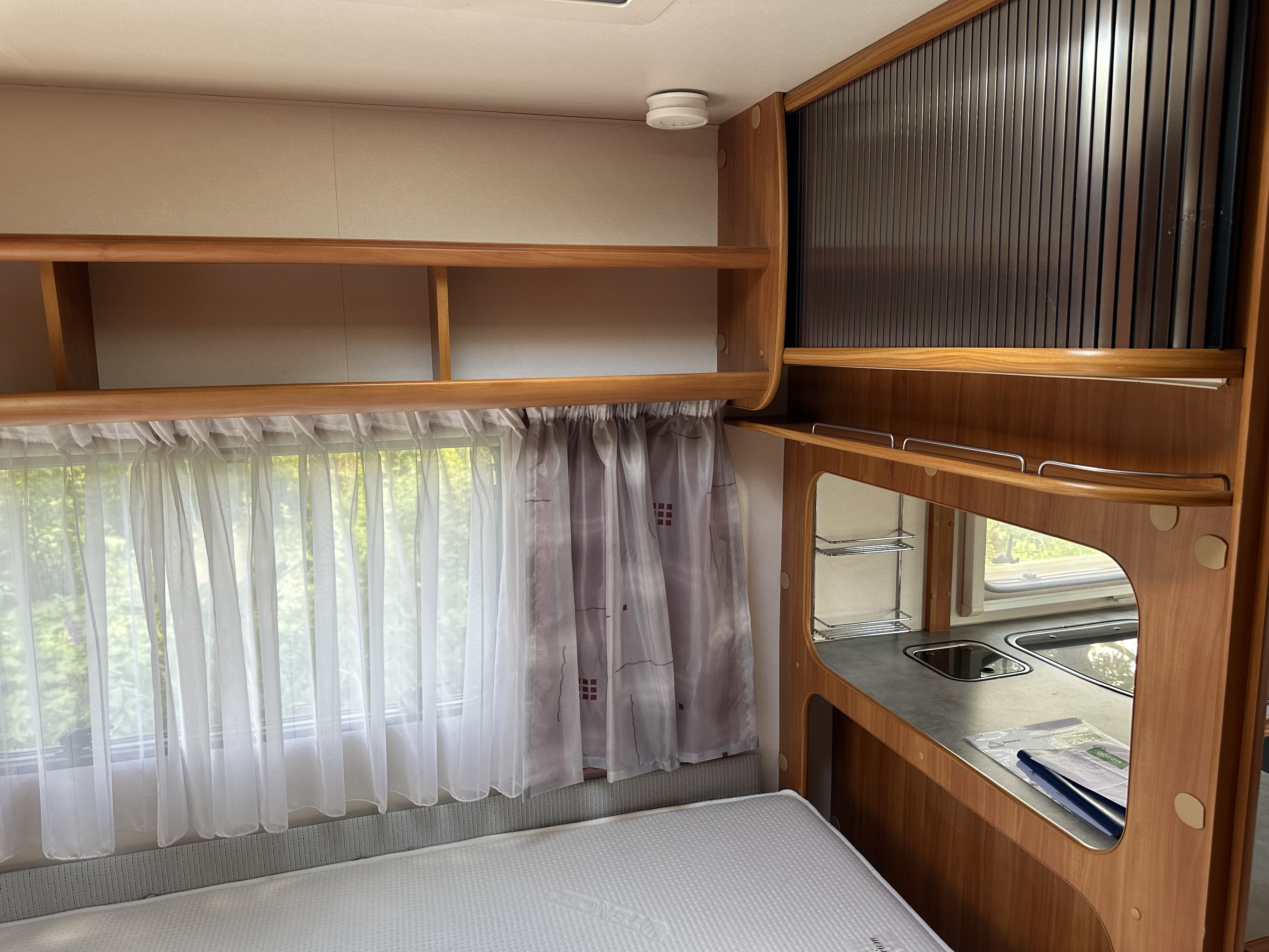
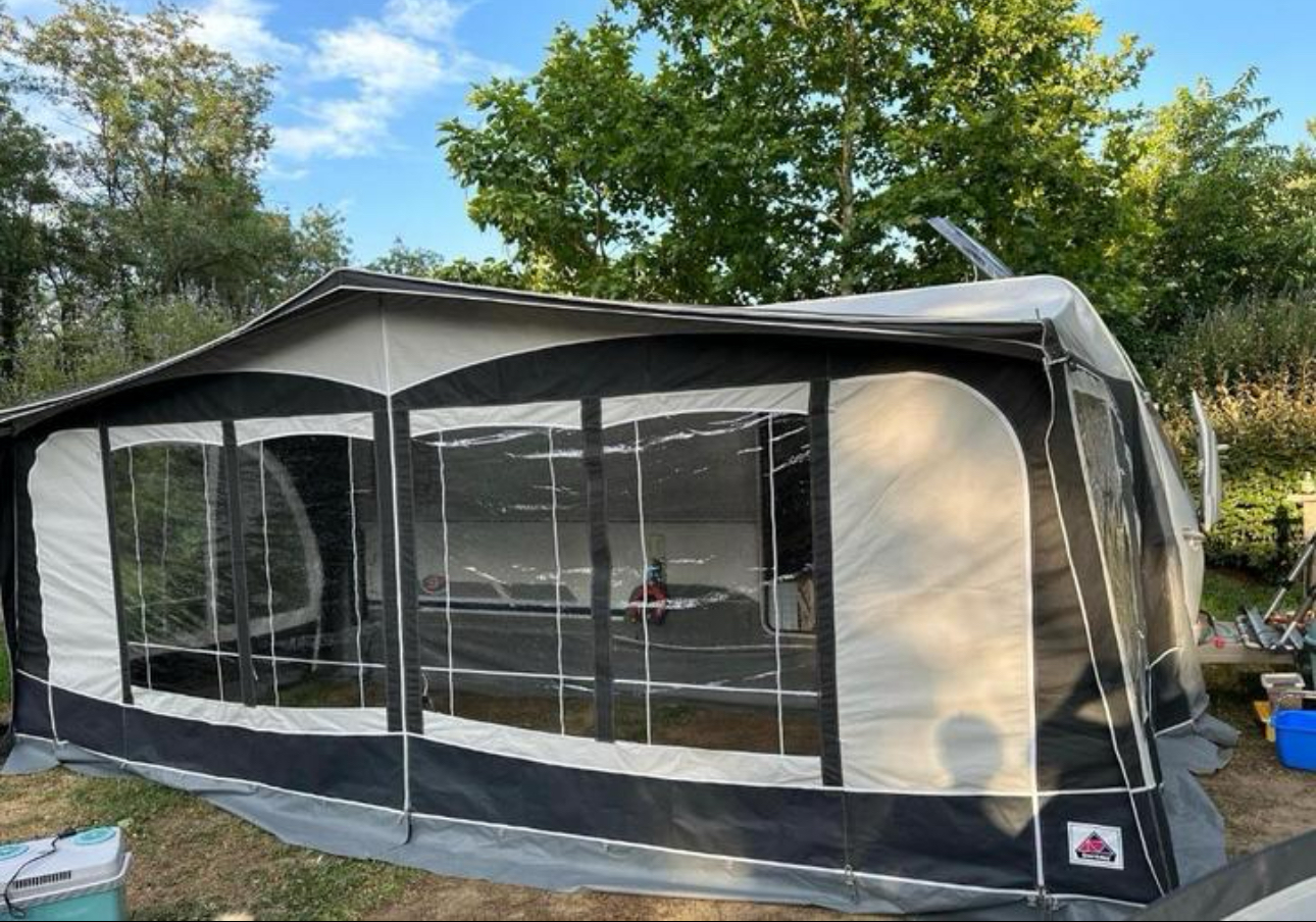
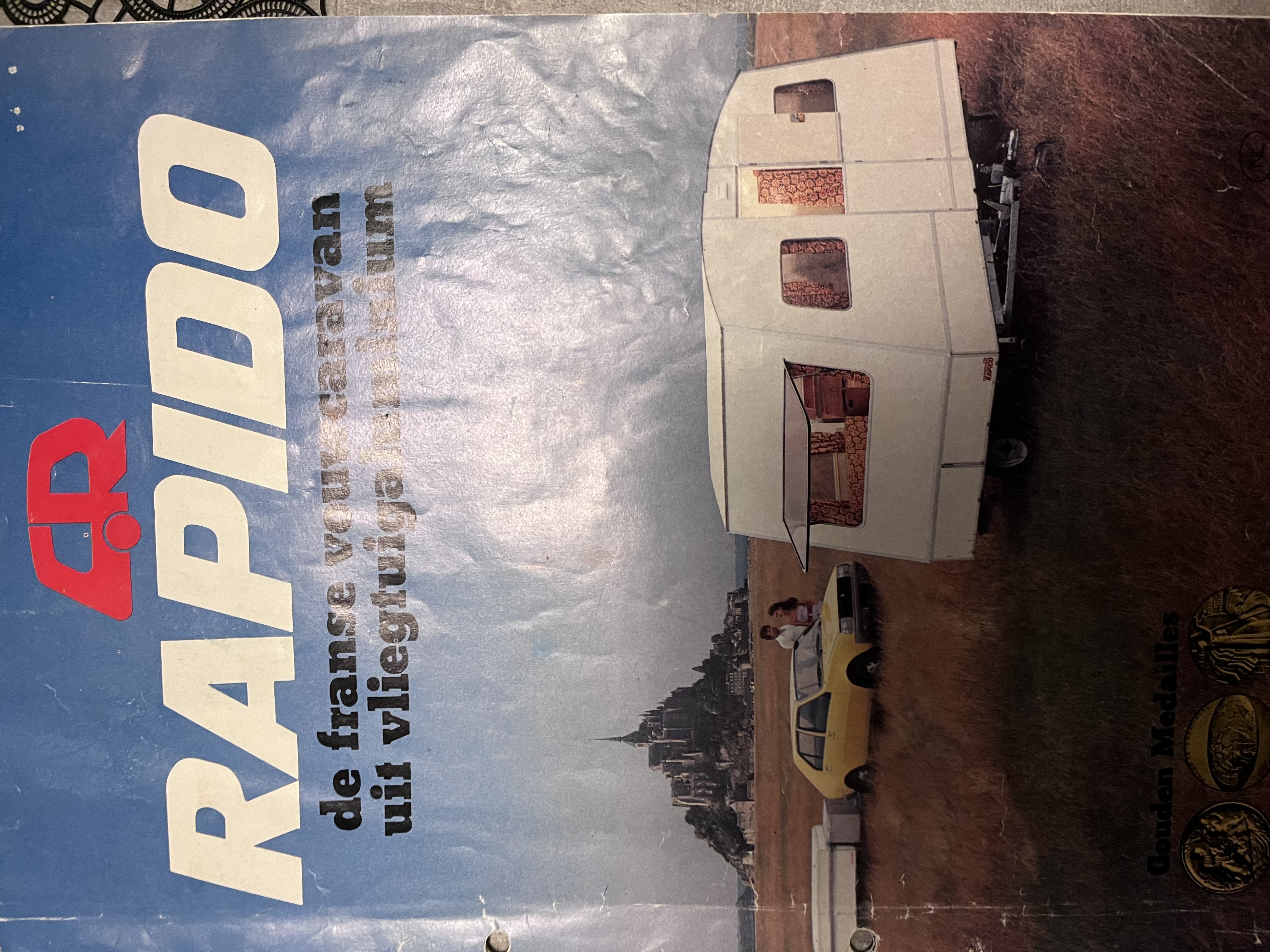
Hierbij ontvang je onze nieuwsbrief van de maand juli. Inmiddels is onze caravan community stevig doorgegroeid en ook het aantal bezoekers en advertenties op de website breidt zich snel uit. In deze eerste editie van de nieuwsbrief, informeren we je over de nieuwste caravanadvertenties. Wil je zelf een advertentie plaatsen? Dan kan je dat als particulier nog geheel gratis doen. Ga naar de onze website, meld je gratis aan en plaats direct en kosteloos je advertentie.