Main navigation
Home
Caravans
Kampeershop
Alle artikelen
Barbecueën
Caravanartikelen
Chemische toiletten
Kampeerartikelen
Koken & servies
Tenten
Voortenten & luifels
Zaklampen
Deken slaapzakken
Tenten
Campings
Campings in België
Campings in Denemarken
Campings in Duitsland
Campings in Frankrijk
Campings in Griekenland
Campings in Italië
Campings in Kroatië
Campings in Luxemburg
Campings in Nederland
Campings in Noorwegen
Campings in Portugal
Campings in Slovenie
Campings in Spanje
Campings in Tsjechië
Campings in Zweden
Camping toevoegen
Bedrijven
Caravanbedrijven en dealers
Samenwerken?
Caravanbedrijf toevoegen
Camping toevoegen
Contact
Nieuws & tips
+ Verkopen
+ Inloggen
+ Registreer
Zoeken
Kruimelpad
Home
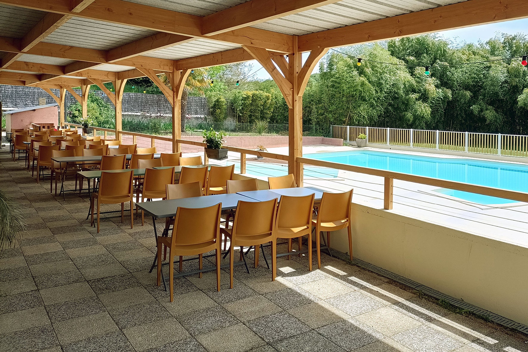
Camping Oasis du Berry
****
ACSI Eurocamping
46.63364000
1.40942000
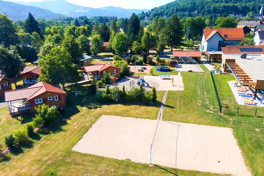
Camping Oasis du Berry
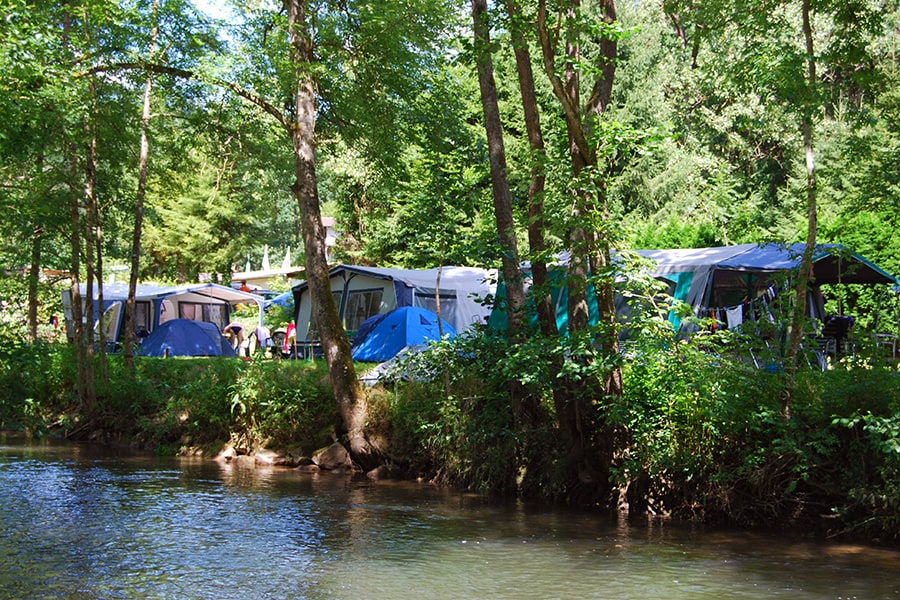
Camping Lann Brick
***
ACSI Eurocamping
47.57850000
-2.97442000
Camping Lann Brick
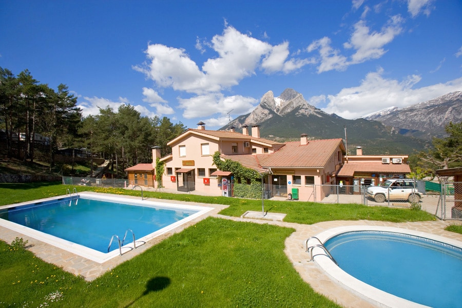
Camping Repòs del Pedraforca
Cat.1
ACSI Eurocamping
42.22925000
1.75922000
Camping Repòs del Pedraforca
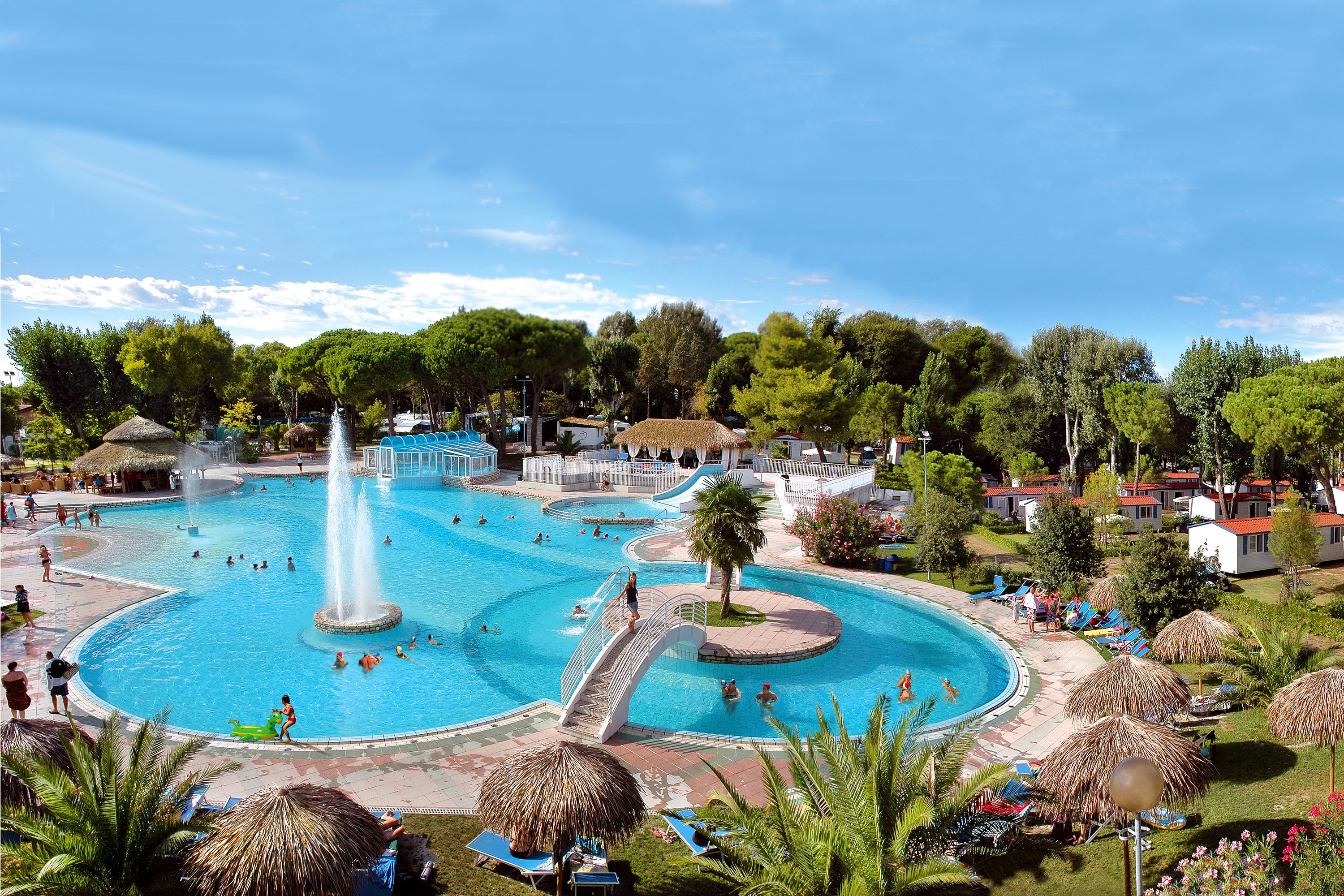
Camping Village Pino Mare
****
ACSI Eurocamping
45.64889000
13.10072000
Camping Village Pino Mare
Kur & Feriencp Holmernhof Dreiquellenbad
*****
ACSI Eurocamping
48.42006000
13.19194000
Kur & Feriencp Holmernhof Dreiquellenbad
Camping Carpe Diem
***
ACSI Eurocamping
48.61136000
8.73503000
Camping Carpe Diem
Flower Camping Les Bouleaux
****
ACSI Eurocamping
47.88006000
7.01022000
Flower Camping Les Bouleaux
Esterel Caravaning
*****
ACSI Eurocamping
43.45406000
6.83278000
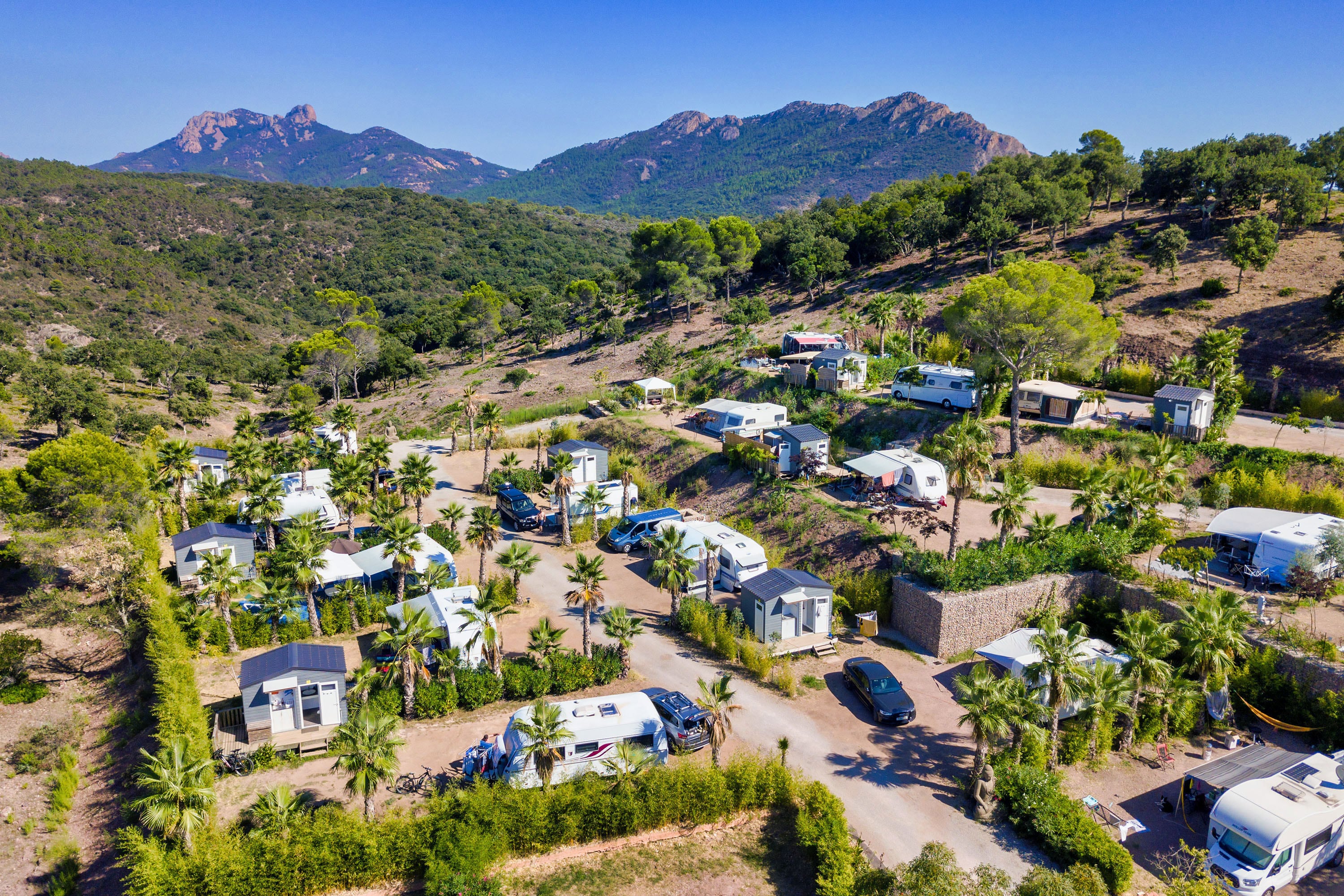
Esterel Caravaning
Camping Le Ventadour
***
ACSI Eurocamping
44.66839000
4.28306000
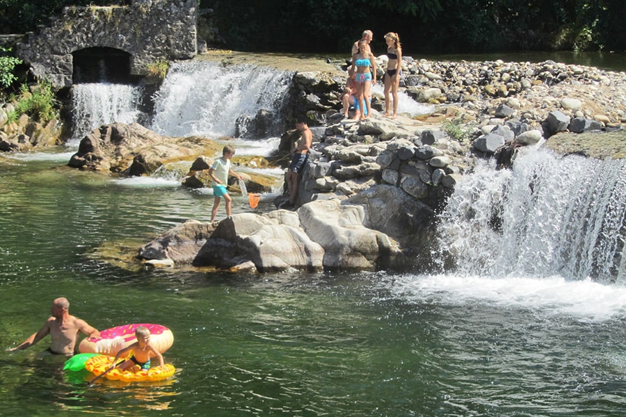
Camping Le Ventadour
Landgoed Eysingastate
****
ACSI Eurocamping
52.93836000
5.75000000
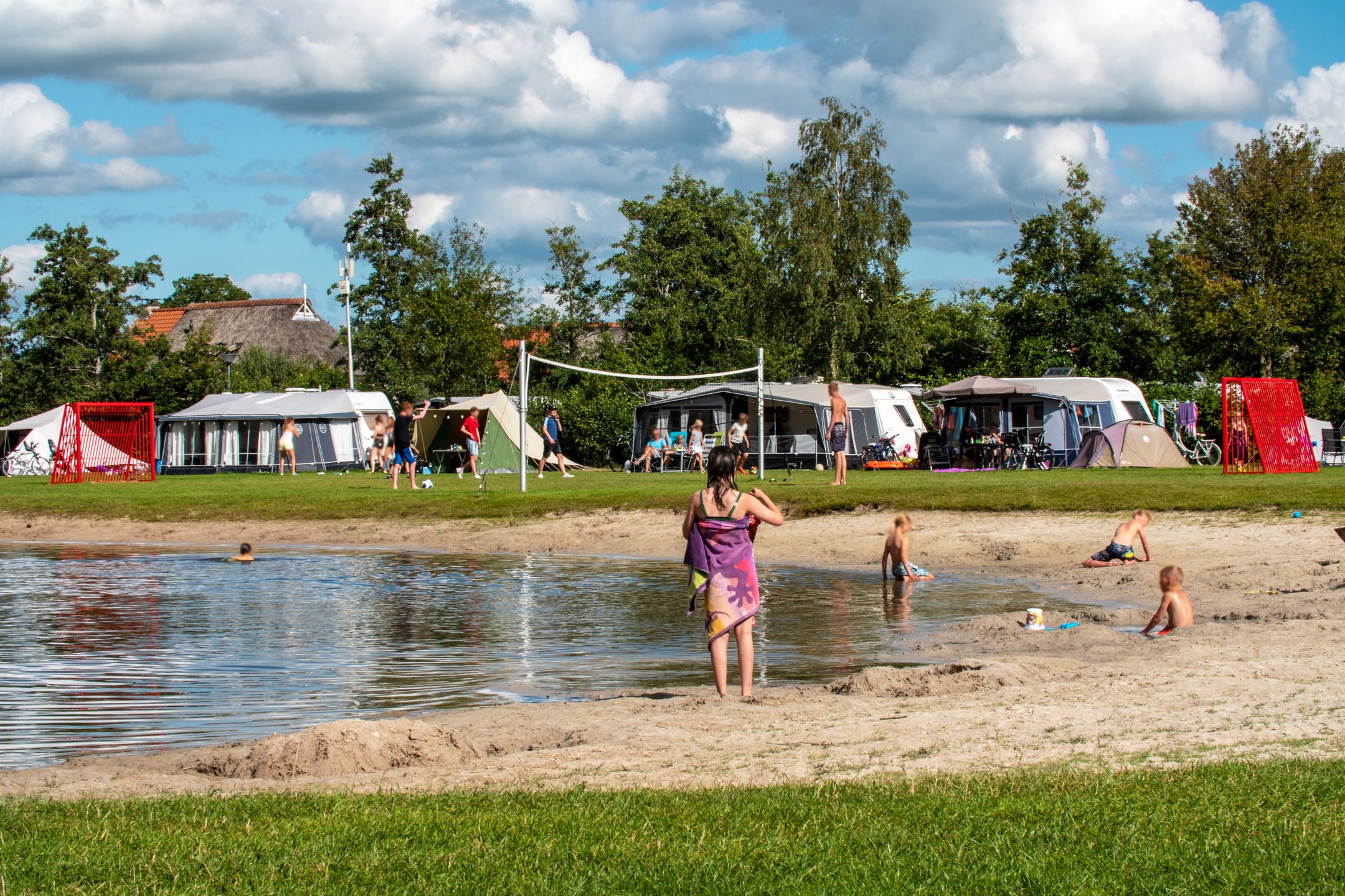
Landgoed Eysingastate
Paginering
Eerste pagina
« Eerste
Vorige pagina
‹ Vorige
…
Pagina
2711
Pagina
2712
Pagina
2713
Pagina
2714
Huidige pagina
2715
Pagina
2716
Pagina
2717
Pagina
2718
Pagina
2719
…
Volgende pagina
Volgende ›
Laatste pagina
Laatste »
Abonneer op