Main navigation
Home
Caravans
Kampeershop
Alle artikelen
Barbecueën
Caravanartikelen
Chemische toiletten
Kampeerartikelen
Koken & servies
Tenten
Voortenten & luifels
Zaklampen
Deken slaapzakken
Tenten
Campings
Campings in België
Campings in Denemarken
Campings in Duitsland
Campings in Frankrijk
Campings in Griekenland
Campings in Italië
Campings in Kroatië
Campings in Luxemburg
Campings in Nederland
Campings in Noorwegen
Campings in Portugal
Campings in Slovenie
Campings in Spanje
Campings in Tsjechië
Campings in Zweden
Camping toevoegen
Bedrijven
Caravanbedrijven en dealers
Samenwerken?
Caravanbedrijf toevoegen
Camping toevoegen
Contact
Nieuws & tips
+ Verkopen
+ Inloggen
+ Registreer
Zoeken
Kruimelpad
Home
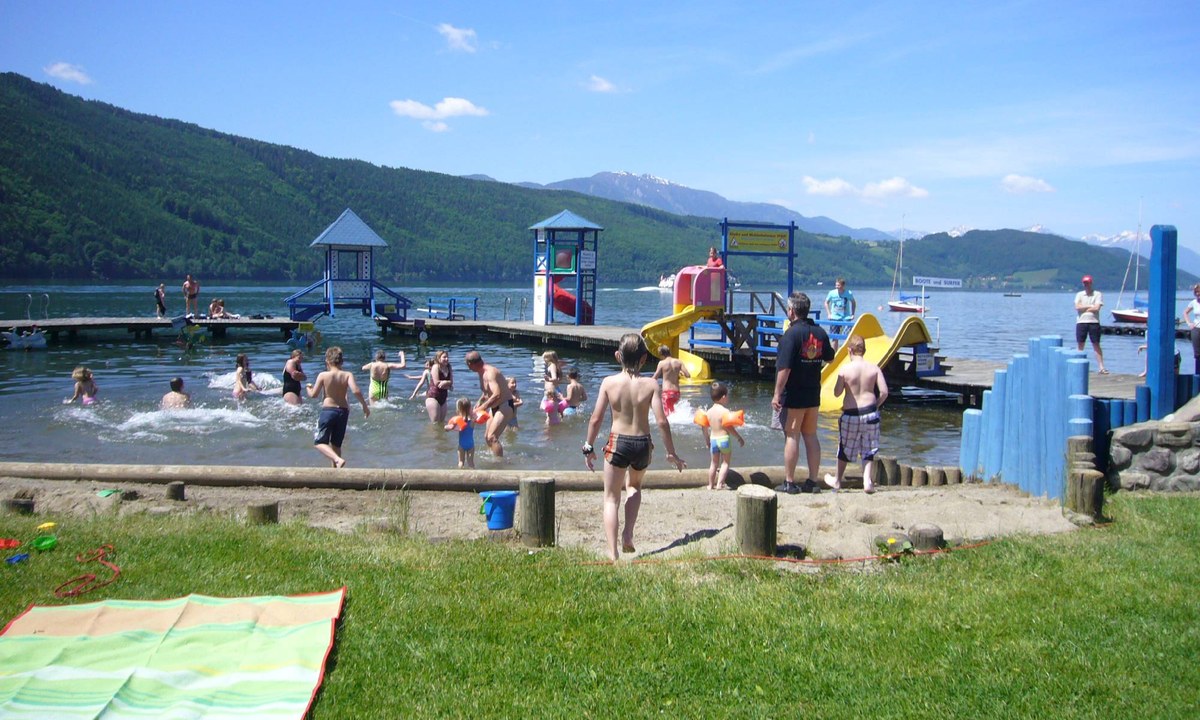
Camping Burgstaller
3
Allcamps
Camping Burgstaller
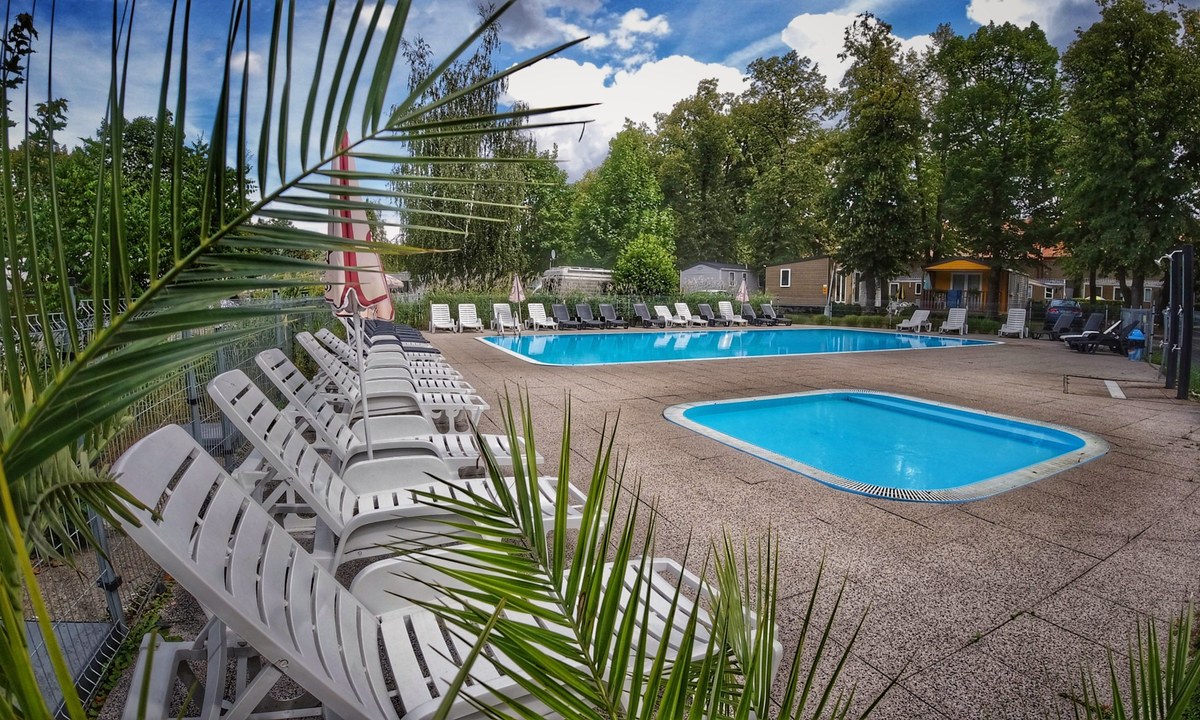
Camping Sokol Praha
4
Allcamps
Camping Sokol Praha
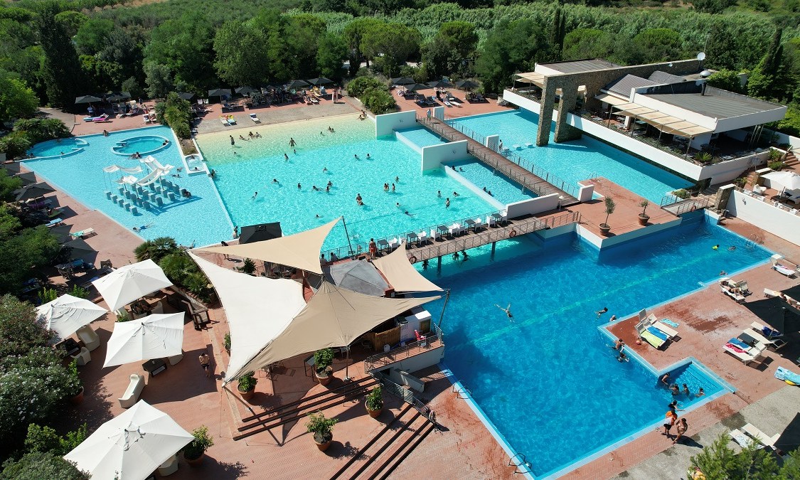
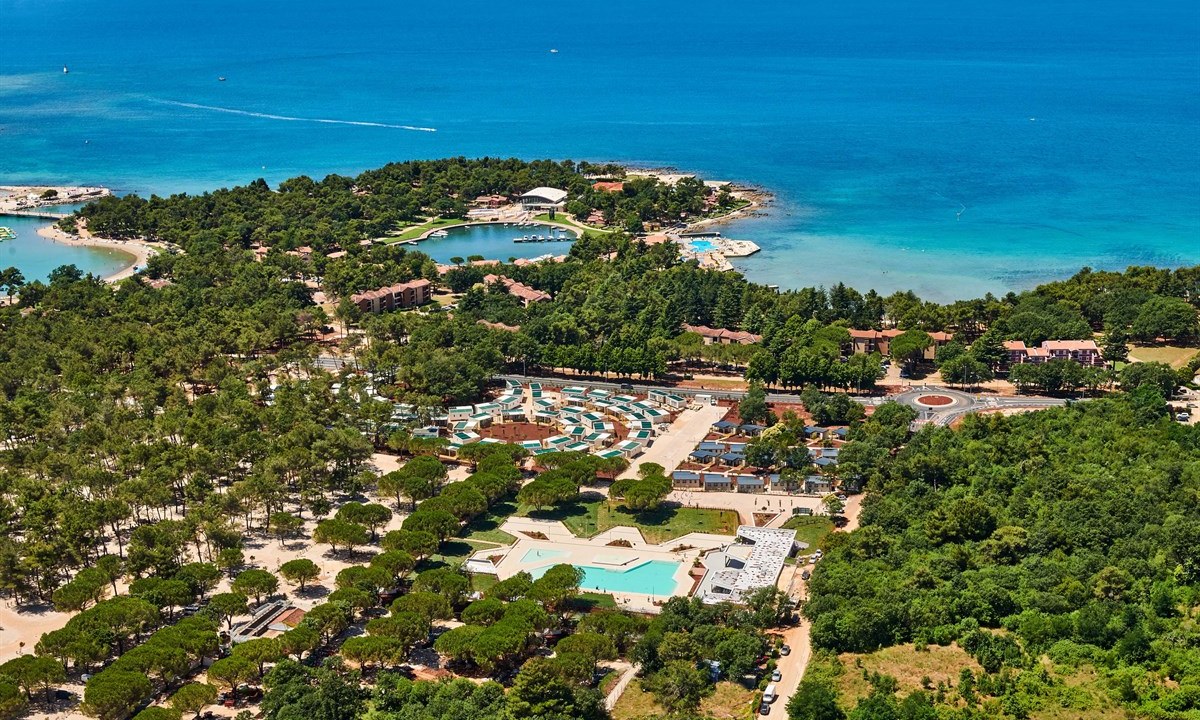
Camping Village Rocchette
3
Allcamps
Camping Village Rocchette
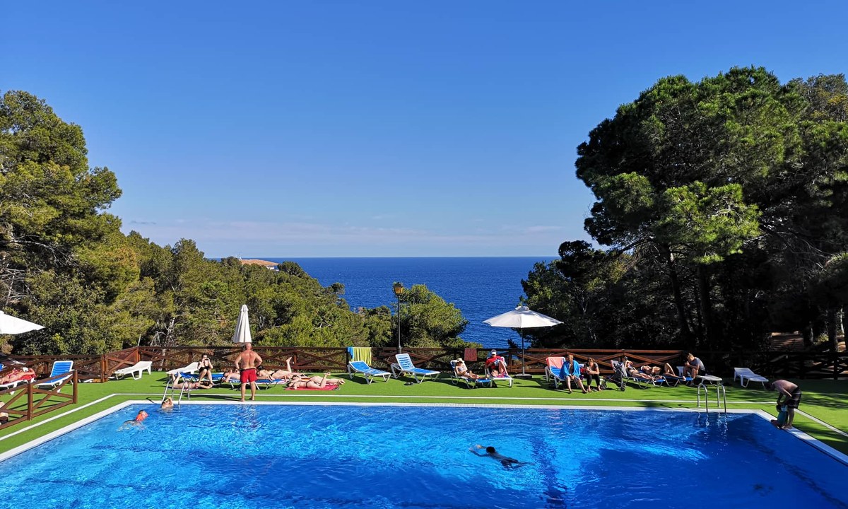
Camping Cala Llevado
4
Allcamps
Camping Cala Llevado
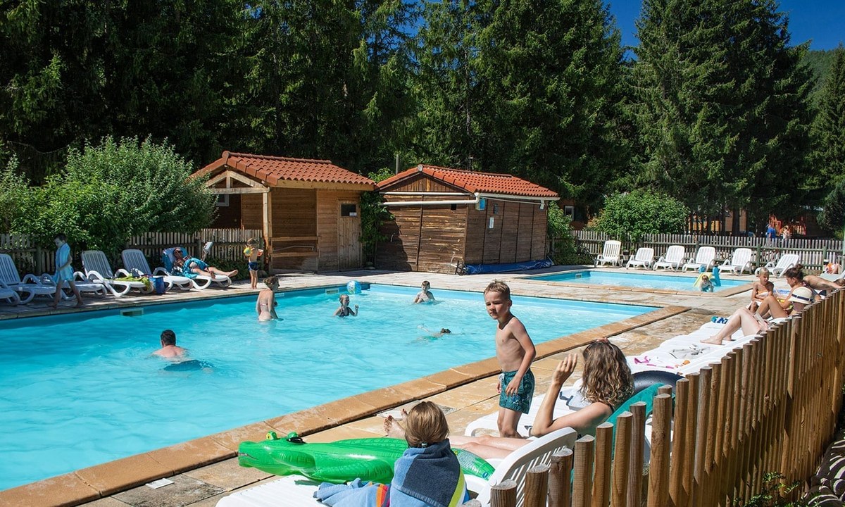
Camping Le Vaubarlet
4
Allcamps
Camping Le Vaubarlet
Camping Club Les Tamaris
5
Allcamps
Camping Club Les Tamaris
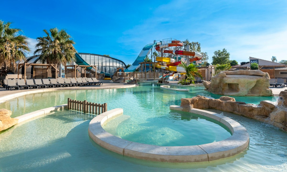
Camping Stella Maris
4
Allcamps
Camping Stella Maris
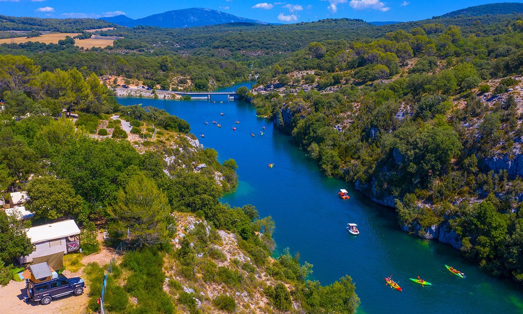
Camping Les Gorges de Provence
4
Allcamps
Camping Les Gorges de Provence
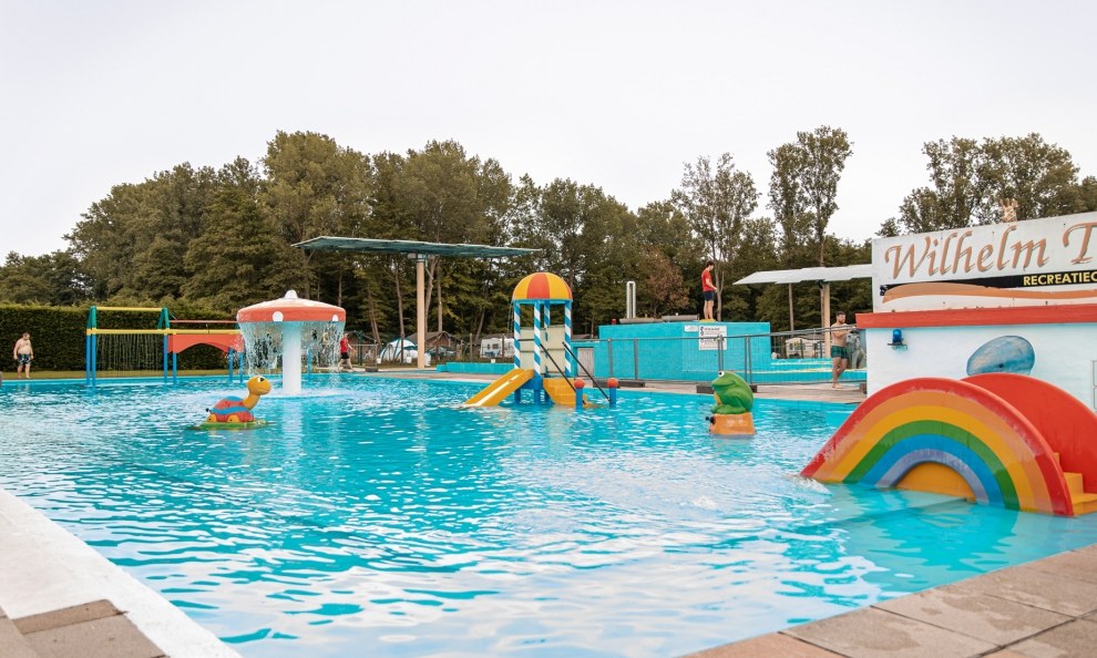
Camping Wilhelm Tell
5
Allcamps
Camping Wilhelm Tell
Paginering
Eerste pagina
« Eerste
Vorige pagina
‹ Vorige
…
Pagina
2849
Pagina
2850
Pagina
2851
Pagina
2852
Huidige pagina
2853
Pagina
2854
Pagina
2855
Pagina
2856
Pagina
2857
…
Volgende pagina
Volgende ›
Laatste pagina
Laatste »
Abonneer op