Main navigation
Home
Caravans
Kampeershop
Alle artikelen
Barbecueën
Caravanartikelen
Chemische toiletten
Kampeerartikelen
Koken & servies
Tenten
Voortenten & luifels
Zaklampen
Deken slaapzakken
Tenten
Campings
Campings in België
Campings in Denemarken
Campings in Duitsland
Campings in Frankrijk
Campings in Griekenland
Campings in Italië
Campings in Kroatië
Campings in Luxemburg
Campings in Nederland
Campings in Noorwegen
Campings in Portugal
Campings in Slovenie
Campings in Spanje
Campings in Tsjechië
Campings in Zweden
Camping toevoegen
Bedrijven
Caravanbedrijven en dealers
Samenwerken?
Caravanbedrijf toevoegen
Camping toevoegen
Contact
Nieuws & tips
+ Verkopen
+ Inloggen
+ Registreer
Zoeken
Kruimelpad
Home
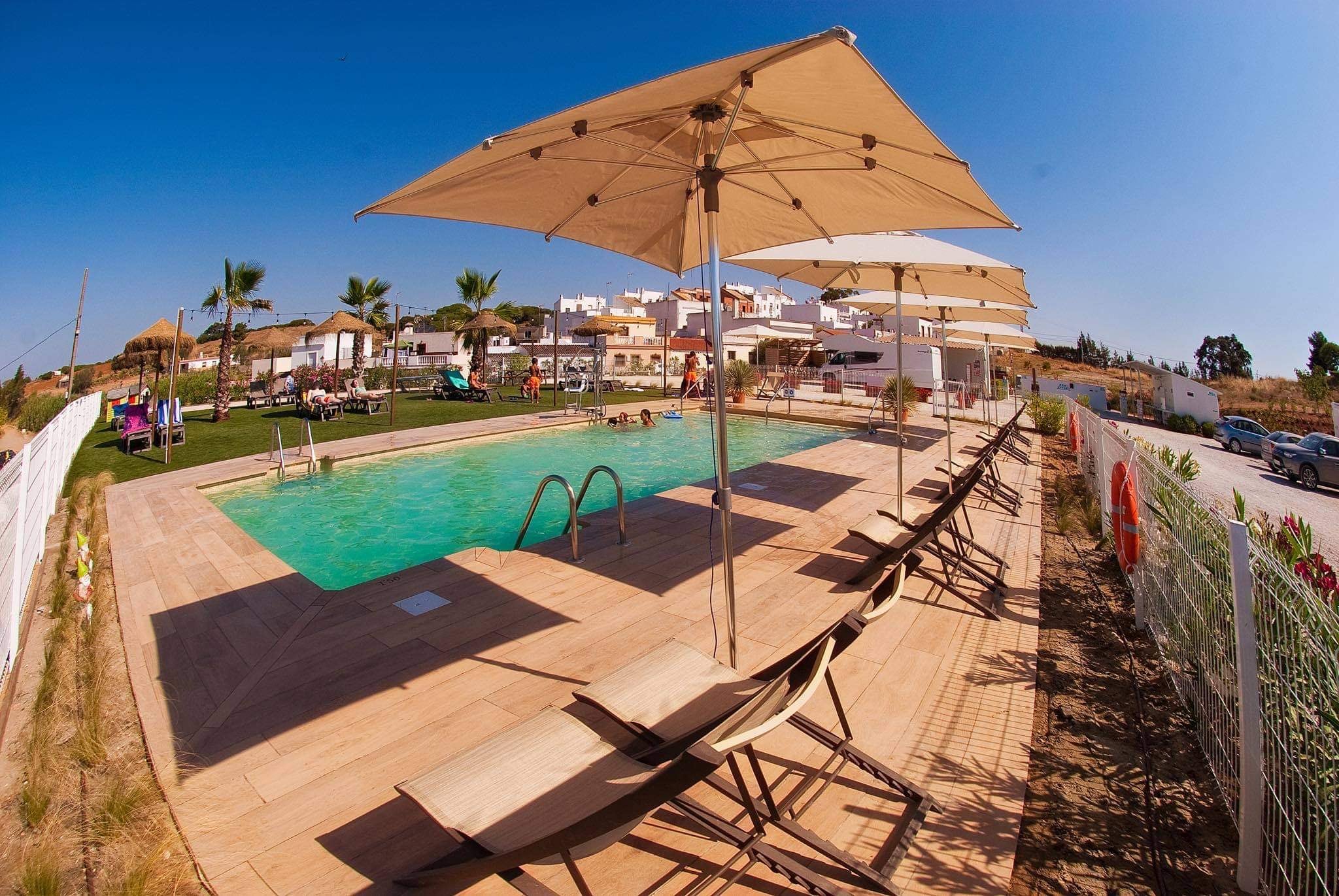
Camper Park Playas de Luz
n.b.
ACSI Eurocamping
37.22194000
-7.32333000
Camper Park Playas de Luz
Flower Camping Beauchêne
***
ACSI Eurocamping
46.47003000
-1.48686000
Flower Camping Beauchêne
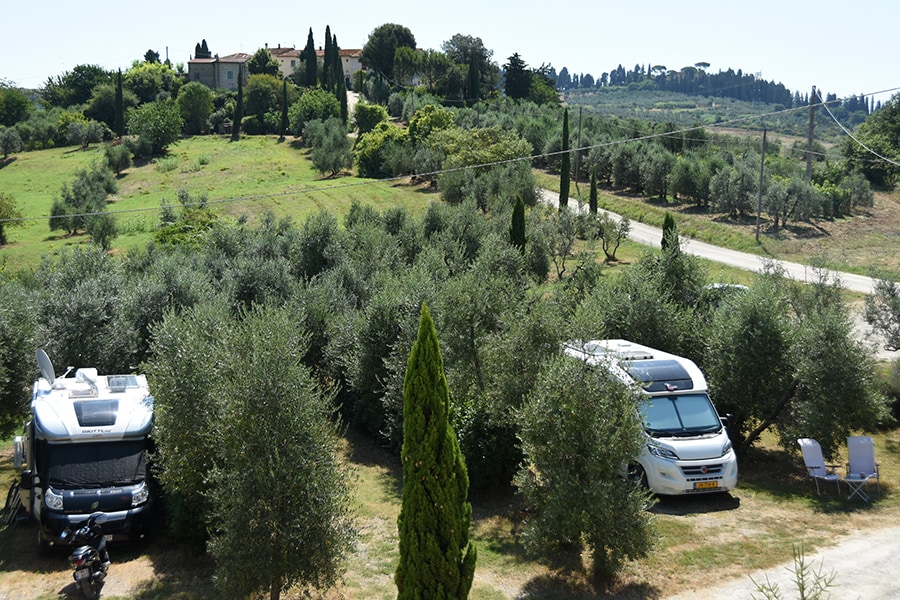
Camping Montaioncino
n.b.
ACSI Eurocamping
43.69106000
10.97608000
Camping Montaioncino
Camping Sandaya Côte de Nacre
*****
ACSI Eurocamping
49.32589000
-0.39047000
Camping Sandaya Côte de Nacre
Camping Campéole Pontaillac Plage
****
ACSI Eurocamping
45.63103000
-1.04989000
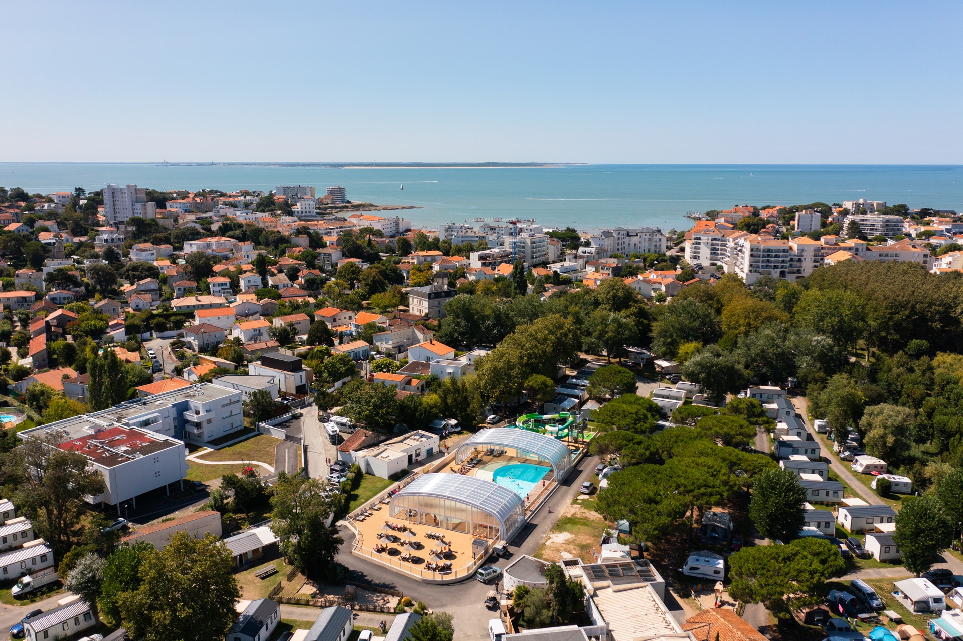
Camping Campéole Pontaillac Plage
RCN Port l'Épine
****
ACSI Eurocamping
48.81319000
-3.38592000
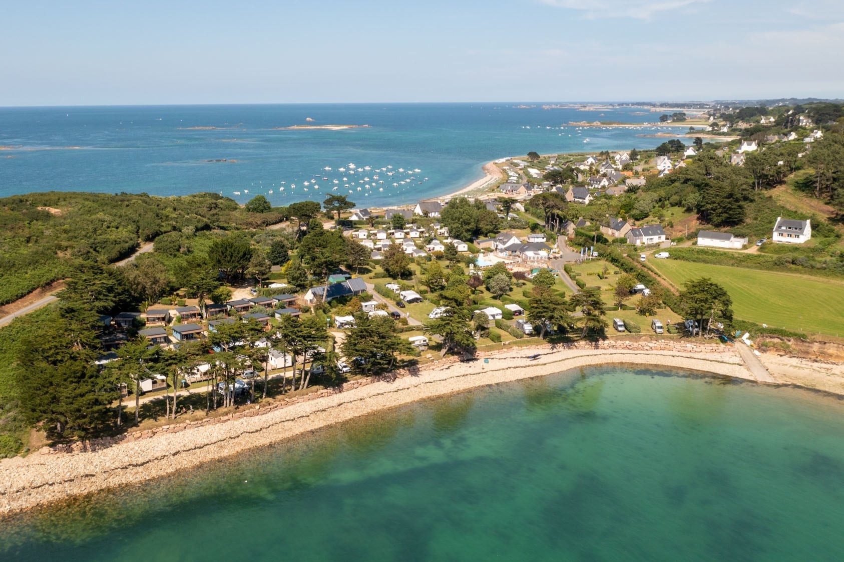
RCN Port l'Épine
Camping Losheim am See
n.b.
ACSI Eurocamping
49.52392000
6.72997000
Camping Losheim am See
Camping Sandaya Les Jardins de Privas
****
ACSI Eurocamping
44.72622000
4.59811000
Camping Sandaya Les Jardins de Privas
Camping Le Vaudois
***
ACSI Eurocamping
43.41086000
6.69203000
Camping Le Vaudois
Campingplatz Wetzlar
n.b.
ACSI Eurocamping
50.57161000
8.50819000
Campingplatz Wetzlar
Paginering
Eerste pagina
« Eerste
Vorige pagina
‹ Vorige
…
Pagina
2861
Pagina
2862
Pagina
2863
Pagina
2864
Huidige pagina
2865
Pagina
2866
Pagina
2867
Pagina
2868
Pagina
2869
…
Volgende pagina
Volgende ›
Laatste pagina
Laatste »
Abonneer op