€ 20.50
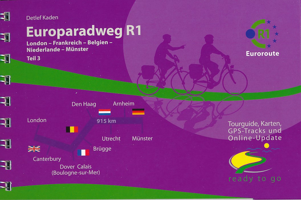
Fietsgids Europaradweg R1 deel 3: London - Münster | IS Radweg

Duitstalige beschrijving van een groot deel van de R1 van Londen tot aan Münster in Duitsland. Goede beschrijving met kaarten.


Nu de R1 voor het gedeelte door Frankrijk, Belgie, Nederland en dan tot aan Münster in Duitsland, totaal 760 km. Dit alles in een handige fietsgids in ringband. Zie afbeeldingen voor inhoud.


Der Radreiseführer beschreibt den Wegverlauf des Europaradweg R1 von London, via Dover/Calais nach Frankreich, durch Belgien und den Niederlanden nach Münster (915 Kilometer).

Der Wegverlauf zwischen Hoek von Holland (Niederlande) und Münster (395 Kilometer) ist identisch mit dem Weg des EuroVelo 2.


Der Radreiseführer bietet alles, was Sie für eine unbeschwerte Radfernwanderung auf dem R1/EV2  benötigen:


Karten/Wegskizzen 1:125.000 mit detaillierten Ortsdurchfahrten

diverse Zusatztouren, z.B. zur Strandpromenade Scheveningen

Weg- und Landesinformationen, Sehens- und Erlebenswertes

Höhenprofile, Tipps für die Touren- und Etappenplanung

Adressen und Links von Touristinformationen, Fahrradreparaturmöglichkeiten, Hotels, Pensionen und Zeltplätzen

sowie die Bahn- und Fährverbindungen mit An-/Abreisetipps nach/von London (mit Fernbus und Flugzeug)

Das ringgebundene Tourenbuch bietet die GPS-Tracks für den Originalweg und diversen zusätzlichen Wegen. 

Ferner gibt es digitale Wegpunkte (POI) von Übernachtungsmöglichkeiten, Touristinformationen, Sehenswürdigkeiten, Reparaturservices und Verkehrsanbindungen.

Diese Tracks und Wegpunkte (POI) sind nach Registrierung im Internet als Download in den Formaten .kml und .gpx erhältlich und können auf Outdoor-GPS-Geräte oder Smartphones überspielt unterwegs der Navigation dienen.

 

€ 28.95
Kinderwereldkaart 91ML Wereldkaart voor kinderen | Druckbunt

Geïllustreerde wereldkaart voor kinderen van ongeveer 5 tot 10 jaar met in de rand de vlaggen van alle landen en heel veel educatieve items over de gehele wereld: dieren, (historische) personen, bijzondere gebouwen, schepen en gebergten die met nummertjes naar de index verwijzen. Inclusief handige metalen strips om de kaart makkelijker op te kunnen hangen.

€ 12.95
Fietskaart ADFC Regionalkarte Weserbergland | BVA BikeMedia

Dit is de meest geschikte fietskaart wanneer u wat langer in één regio verblijft. De kaart is van de ADFC (Algemeine Deutsche Fahrrad Club).

Echt alle relevante fietsinfo is op deze kaart terug te vinden.


Zeer goede heldere, betrouwbare kaart met ingetekend alle bewegwijzerde routes

* Zeer gedetailleerde kaart

* Vermelding van verkeersdrukte

* Vermelding van type wegdek

* Hellingen worden aangegeven middels 1 of 2 pijlen

* Hoogtelijnen aanwezig

* Relevante info als fietsenmakers, campings, horeca etc..aanwezig

* Geschikt voor verblijf in 1 bepaald gebied


ADFC recommended topographic cycling maps of popular regions of Germany giving details of routes, volume of traffic so you can choose the calmest route, details of gradients, camp sites, & tourist information. With these maps you can work out a route to suit all tastes, whether for family or for mountain bikers.


Dorpen en plaatsen:

Minden, Göttingen (West), Stadthagen, Barsinghausen, Bückeburg, Bad Oeynhausen, Rinteln, Bad Münder (am Deister), Springe, Elze, Hameln, Alfeld (Leine), Bad Pyrmont, Blomberg, Bodenwerder, Holzminden, Höxter, Einbeck, Beverungen, Uslar, Warburg, Hofgeismar, Hann. Münden Wichtige enthaltene


Meren en rivieren:

Weser, Diemel


Offizielle Karte des ADFC Allgemeiner Deutscher Fahrrad-Club e.V.die ideale Karte für Planung und Durchführung von Tages- und Wochenendradtouren. Auf einem großen Gebiet von bis zu 70 x 100 Kilometern findet sich alles, was Radler brauchen.Routen, Tagestourenvorschläge, Sehenswürdigkeiten, Freizeitinformationen und vieles mehr. Optimale Orientierung _ übersichtlich gestaltet _ einfach zu handhaben _ alle beschilderten Radwege sowie die schönsten Tagestourenvorschläge des ADFC _ mit ausgewählten Straßennamen zur besseren Orientierung _ Anschlusskarten für ganz Deutschland _ wetterfestes und reißfestes Papier _ zusätzliche kostenfreie Online-Angebote: Download der gpx-Tracks der Tagestourenvorschläge auf unserer website oder in unserer ADFC-Karten-App.


€ 18.50
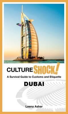
Reisgids Culture Shock! Dubai | Marshall Cavendish

CultureShock! Dubai is an indispensable guide for anyone planning a stay in the Las Vegas of the Middle East. Within a single generation, Dubai has blossomed from a quiet port city to major business hub with a lion's share of the global gold trade. The emirate will host the World Expo 2020.Leena Asher draws on her insider knowledge to take visitors through the process of settling in, whether for short or longer stays.

From getting an Emirates ID, navigating banking practices and exchanging Islamic greetings to sipping Arabic coffee and camel milk, shopping at the gold, textile and spice souqs and visiting a ski resort in the desert, the book provides complete information on what's unique about life in Dubai. How do you greet a lady in Dubai? How does one survive the 50 degree celcius desert climate? Did you know that there are gold dispensing ATMs in Dubai? Get the most of out of your stay with this essential and fun-to-read guide!

€ 18.50
Reisgids Culture Shock! Philippines | Marshall Cavendish

CultureShock! Philippines is a survival guide for anyone living, working or wanting to discover life in the Philippines. Settling into a foreign land is never easy, but with this book you will learn to understand the importance of amor-propio, appreciate the Filipino ways and learn about the history and culture of this diverse country. Find out the importance of family to the Filipinos, how to communicate with the locals and learn the appropriate business etiquette. Packed with a resource guide, glossary, contact numbers, website addresses and useful advice, CultureShock! Philippines is essential for anyone wanting to fit in and enjoy life in the Philippines. 


About the Series 


The CultureShock! series is a dynamic and indispensable range of guides for those travellers who are looking to truly understand the countries they are visiting. Each title explains the customs, traditions, social and business etiquette in a lively and informative style. 


CultureShock! authors, all of whom have experienced the joys and pitfalls of cultural adaptation, are ideally placed to provide warm and helpful advice to those who seek to integrate seamlessly into diverse cultures.   


Each CultureShock! book contains:

insights into local culture and traditions

advice on adapting into the local environment

linguistic help, and most importantly

how to get the most out of your travel experience

€ 15.50
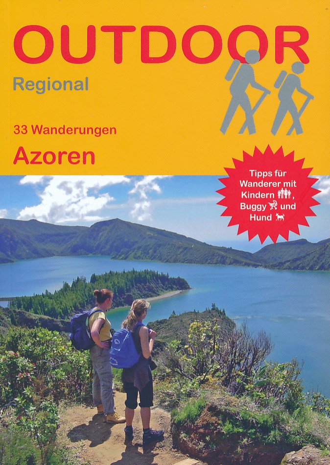
Wandelgids Azoren | Conrad Stein Verlag

Handzaam boekje met routebeschrijvingen inclusief een heleboel praktische informatie. De beschrijving is uitstekend, maar kaarten zijn beperkt en schetsmatig aanwezig. Duits.

Die Azoren als letzte (oder erste) Bastion Europas mitten im Atlantik sind noch eine wahre Naturdestination. Wanderer können auf alten Küstenpfaden gehen, tiefgrüne Krater umrunden oder auf den höchsten Berg Portugals steigen. Das Buch beschreibt die schönsten Wanderungen der Inseln, darunter auch echte Geheimtipps der hier beheimateten Autorin. Zu jeder Tour gibt es Hinweise für Wanderer mit Kind und Hund. Karten und Höhenprofile ergänzen die genauen Wegbeschreibungen, GPS-Tracks können im Internet kostenlos heruntergeladen werden. Infos zu Anreise, Einkehr- und Bademöglichkeiten, Beschreibungen der Pflanzen am Wegesrand und viele Insidertipps runden den Wanderführer ab. 

€ 9.95
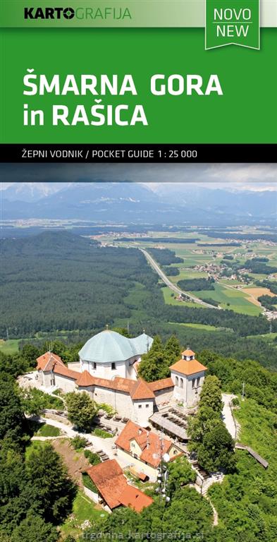
Wandelkaart 4 Pocketmap Smarna gora in Rasica | Kartografija

Kleine handzame kaart van een deel van de Julische Alpen en omliggende gebieden. Opgevouwen heeft deze een formaat van 10 x 5 cm en uitgevouwen 55 x 52 cm. Op de achterzijde staat toeristische informatie in o.a. het Engels. 


Op de kaart zelf, met een schaal van 1:25.000, staan wandelroutes, fietsroutes, bezienswaardigheden, accommodaties en nationale parken goed ingetekend. Campings en berghutten ontbreken niet.

€ 13.95
Wandelkaart 22 Outdoorkarte Mittelmosel - Trier bis Zell | Kümmerly & Frey

Hele goede wandelkaart met alle noodzakelijke topografische details, hoogtelijnen, ingetekende wandelroutes en hutten, mountainbikeroutes en fietsroutes - de kaart is geplastificeerd.

De vakantie-kaarten van Kümmerly + Frey zijn de ideale hulp bij het voorbereiden van uw vakantie. En op het resort overtreffen ze elke plaatselijke gids: aantrekkelijke, beeldende kaarten, uitgebreide regionale dekking (een kaart voor elke regio) en informatieve toeristische inhoud, zoals belangrijk wandelpaden, berghutten en monumenten.

Dorpen, Bergen en dalen: Bad Bertich, Zell, Hahn, Traben-Trabach, Hassborn, Wittlich, Salmtal, Mosel, Bernkastel-Kues, Zemmer, Hetzerath, Klausen, Schweich, Trier, Thalfang, Longkamp, Hunsrück

€ 9.95
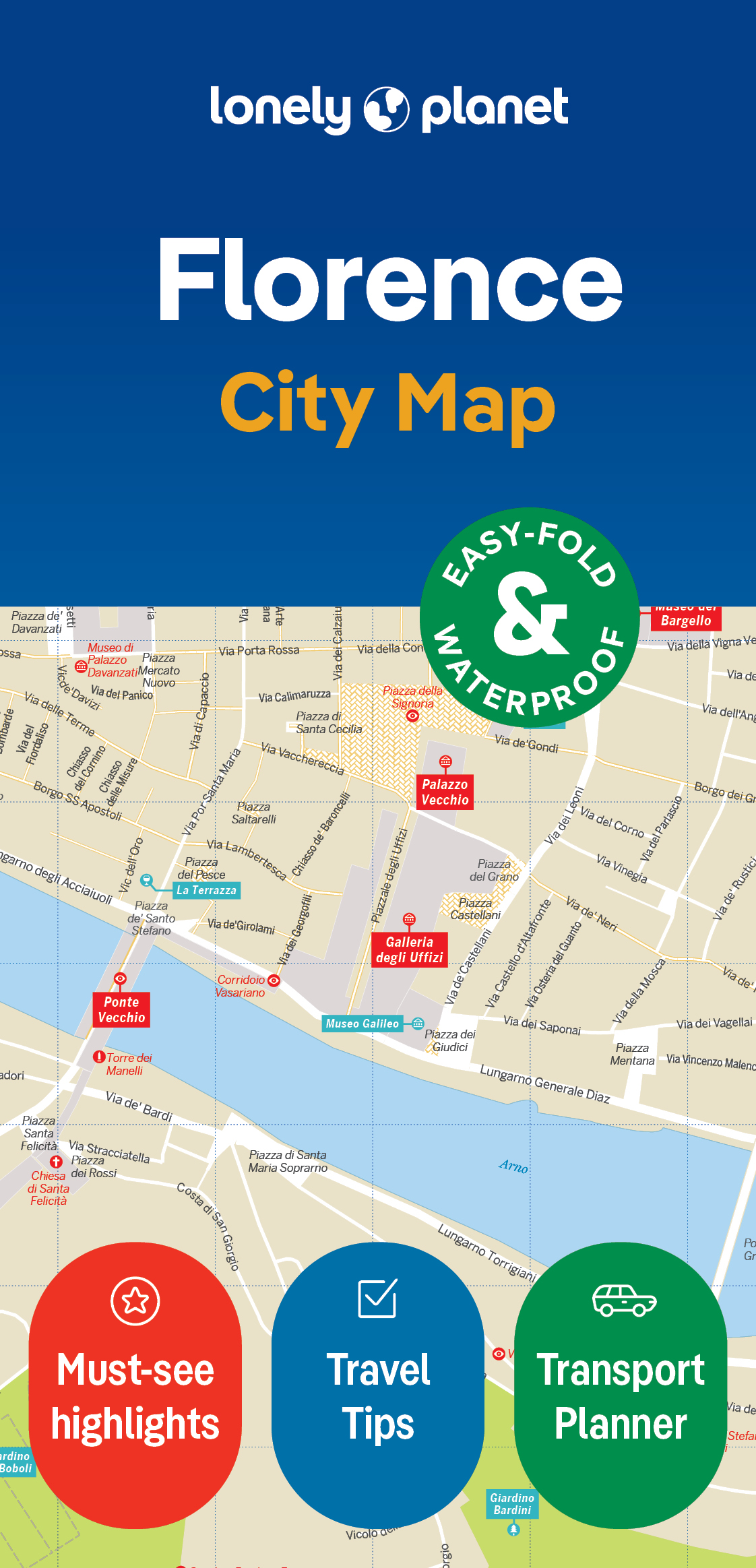
Stadsplattegrond City map Florence | Lonely Planet

De stadsplattegronden van Lonely Planet zijn uitgevoerd op scheur- en watervast papier, zijn lichtgewicht en kennen een handig formaat. Het centrum van de stad is in heldere kleuren in beeld gebracht met straatnamen, bezienswaardigheden en symbolen voor openbaar vervoer. Op de achterzijde staat informatie over de toeristische hoogtepunten en in de meeste gevallen een schematische plattegrond van het openbaar vervoer. Met een register.

Durable and waterproof, with a handy slipcase and an easy-fold format, Lonely Planet's Florence City Map is your conveniently sized passport to travelling with ease. Get more from your map and your trip with images and information about top city attractions, walking tour routes, transport maps, itinerary suggestions, an extensive street and site index, and practical travel tips and directory. With this easy-to-use, full-colour navigation tool in your back pocket, you can truly get to the heart of Florence, so begin your journey now!Durable and waterproofEasy-fold format and convenient sizeHandy slipcaseFull colour and easy to useExtensive street and site indexImages and information about top city attractionsHandy transport mapsWalking tour routesPractical travel tips and directoryItinerary suggestionsCovers Piazza della Signoria, Santa Maria Novella, San Lorenzo, San Marco, Fiesole, Santa Croce, Boboli, San Miniato al MonteLooking for more extensive coverage? Check out Lonely Planet's Florence and Tuscany, our most comprehensive guidebook to the city, covering the top sights and most authentic offbeat experiences.


Or check out Lonely Planet's Pocket Florence and Tuscany, a handy-sized guide focused on the can't-miss experiences for a quick trip. About Lonely Planet: Lonely Planet is a leading travel media company, providing both inspiring and trustworthy information for every kind of traveller since 1973. Over the past four decades, we've printed over 145 million guidebooks and phrasebooks for 120 languages, and grown a dedicated, passionate global community of travellers.


You'll also find our content online, and in mobile apps, videos, 14 languages, armchair and lifestyle books, ebooks, and more, enabling you to explore every day. 'Lonely Planet guides are, quite simply, like no other.'  New York Times'Lonely Planet. It's on everyone's bookshelves; it's in every traveller's hands.


€ 9.95
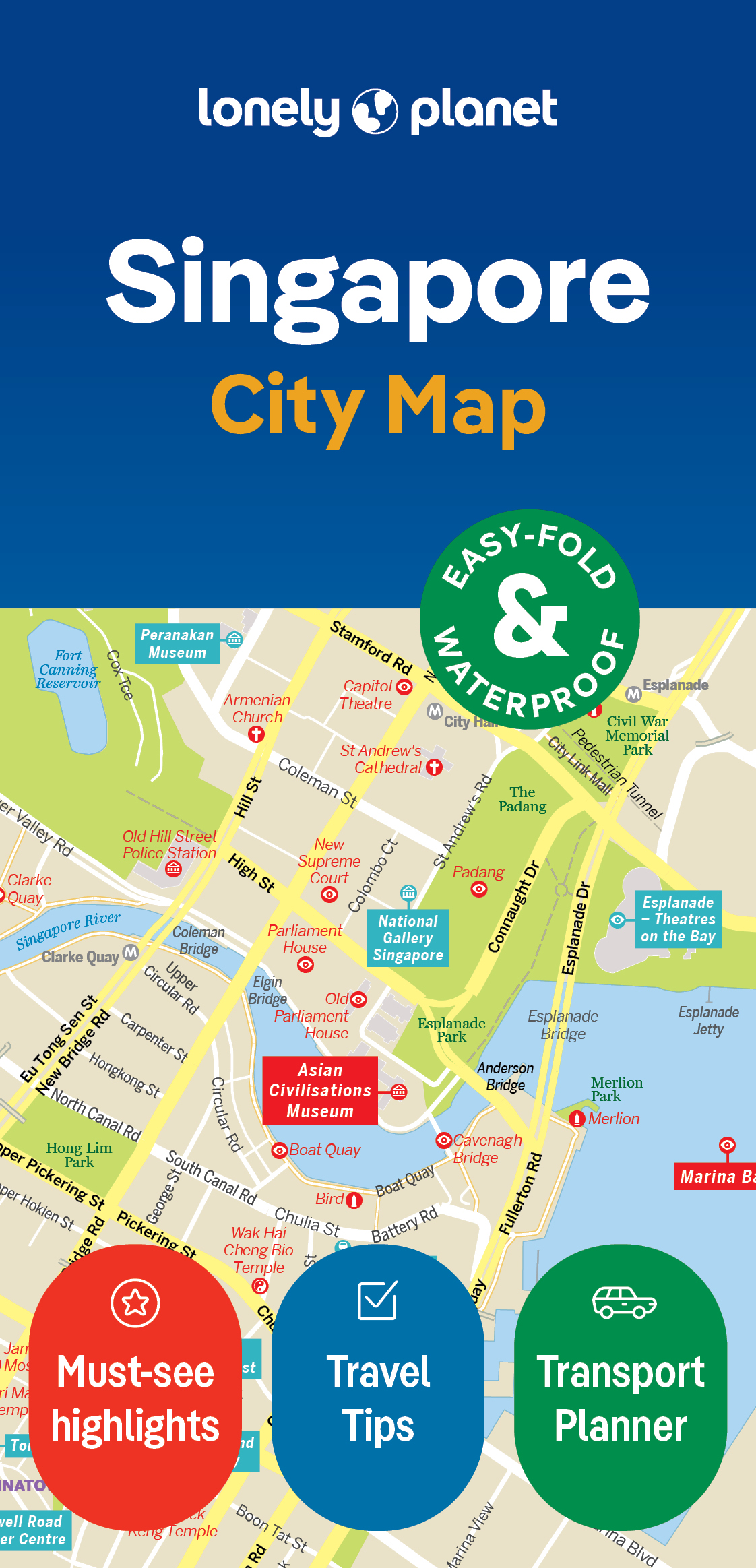
Stadsplattegrond City map Singapore | Lonely Planet

De stadsplattegronden van Lonely Planet zijn uitgevoerd op scheur- en watervast papier, zijn lichtgewicht en kennen een handig formaat. Het centrum van de stad is in heldere kleuren in beeld gebracht met straatnamen, bezienswaardigheden en symbolen voor openbaar vervoer. Op de achterzijde staat informatie over de toeristische hoogtepunten en in de meeste gevallen een schematische plattegrond van het openbaar vervoer. Met een register.


Durable and waterproof, with a handy slipcase and an easy-fold format, Lonely Planet's Singapore City Map is your passport to travelling with ease. Get more from your map and your trip with images and information about top city attractions, walking tour routes, transport maps, itinerary suggestions, an extensive street and site index, and practical travel tips and directory. With this easy-to-use, full-colour navigation tool, you can get to the heart of Singapore, so begin your journey now! Durable and waterproof Easy-fold format and convenient size Handy slipcase Full colour and easy to use Extensive street and site index Images and information about top city attractions Handy transport maps Walking tour routes Practical travel tips and directory Itinerary suggestions Covers Chinatown, EW17, Kampong Glam, Little India, Marina South, Sentosa Cove and Tanjong Pagar.


Looking for more extensive coverage? Check out Lonely Planet's Singapore, our most comprehensive guidebook to the city, covering the top sights and most authentic offbeat experiences. Or check out Lonely Planet's Pocket Singapore, a handy-sized guide focused on the can't-miss experiences for a quick trip. About Lonely Planet: Lonely Planet is a leading travel media company, providing both inspiring and trustworthy information for every kind of traveller since 1973.


Over the past four decades, we've printed over 145 million guidebooks and phrasebooks for 120 languages, and grown a dedicated, passionate global community of travellers. You'll also find our content online, and in mobile apps, videos, 14 languages, armchair and lifestyle books, ebooks, and more, enabling you to explore every day. 'Lonely Planet guides are, quite simply, like no other.' New York Times 'Lonely Planet.

Easy-fold format and convenient size

Handy slipcase

Full colour and  easy-to-use

Extensive street and site index

Images and information about top city attractions

Handy transport maps

Practical travel tips and directory

Itinerary suggestions


Covers: Colonial District, Marina Bay, the Quays, Chinatown, Tanjong Pagar, CBD, Little India, Kampong Glam, Orchard Road, Eastern Singapore, Holland Village, Dempsey Hill, Sentosa Island


Abonneer op