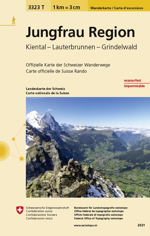
€ 28.99
Reisgids Capitool Reisgidsen Zwitserland | Unieboek

De Capitool Reisgids Zwitserland helpt je bij het samenstellen van de perfecte reis.

Deze reisgids verdeelt Zwitserland in acht regio's: Bern / Mittelland, Berner Oberland en Wallis (Valais) / Genève / West-Zwitserland / Zürich / Noord-Zwitserland / Midden-Zwitserland en Ticino (Tessin) / Oost-Zwitserland en Graubünden. Ontdek de magistrale kastelen, galeries in Basel en de mooiste wandelplekken; deze gids toont je de parels van Zwitserland.


✔ Dankzij de prachtige fotografie waan je jezelf al op je bestemming

✔ In het jaaroverzicht van Zwitserland vind je een selectie van festivals en evenementen door het jaar heen

✔ Opengewerkte illustraties tonen het interieur van must sees, zoals Münster St. Vinzenz en Cathédrale Saint-Pierre

✔ Gedetailleerde plattegronden helpen je bij het vinden van de weg

✔ Ontdek de beste restaurants, mooiste accommodaties en leukste winkels

✔ Achter in de gids vind je onmisbare praktische informatie voor een ontspannen reis


Met Capitool Reisgidsen ben je verzekerd van een reisgids boordevol informatie, met duidelijke plattegronden, prachtige foto's en illustraties en handige tips. Met de Capitooltips geniet je van de mooiste uitzichten, maak je de beste vakantiefoto’s en ontdek je de bijzonderste plekjes. Jouw mooiste reis begint hier!

€ 20.95
Wandelgids Isle of Mull | Cicerone

Uitstekende wandelgids voor dit uitdagende wandelgebied in Schotland. Met goede topografische deelkaarten.

Guidebook describing over 40 walking routes on Scotland's beautiful Isle of Mull, as well as neighbouring Ulva, Gometra, Iona and Erraid. Walks range from 2 to 16 miles and from short circuits to demanding mountain traverses, but without technical difficulties. The Isle of Mull is wild, rugged and great for wildlife spotting.

Activities

walking


Seasons

walking possible throughout the year, although the winter months call for winter mountaineering skills and equipment on the higher mountains


Centres

Tobermory; smaller settlements at Dervaig, Salen, the ferryport Craignure, Bunessan and Ffionphort, the ferry point for Iona; accommodation plentiful, but camp sites and budget hostels few and far between


Difficulty

few technical difficulties; walks cross rough, trackless terrain requiring walkers to be properly equipped and able

to use map and compass


Must See

Mull's only Munro, Ben More, and a fine cast of lower heights; great glens for linear walks as good as anything on mainland Scotland; spectacular coastline; wildlife

€ 24.95
Reisgids Venice | Blue Guides

Een zeer gedegen reisgids over dit gebied, speciaal gericht op kunst en cultuur. Diepgaande informatie over dit specifieke onderwerp. Een van de beste reisgidsen die er bestaan!

The tenth edition of this accessible, detailed guide to the unique city of Venice is an essential handbook for any traveller who wants to fully understand the existence and future challenges of this extraordinary place, as well as its history, art, architecture, cuisine and culture.

Contains plans and illustrations, detailed and accurate maps of the labyrinthine streets and canals, and includes full coverage of several newly-opened museums and palaces. There is also full coverage of where to stay and eat, and how to navigate the transport system. Ideal as an on-site guide as well as a desk resource. Illustrations: B/W with photographs, diagrams, floor plans and 8 pages of full-colour maps


€ 12.95
Wegenkaart - landkaart Ancient Britain | Ordnance Survey

The Ordnance Survey Ancient Britain map is a comprehensive guide to the most important archaeological sites of early English, Welsh and Scottish history.

Ordnance Survey's Ancient Britain map shows Neolithic, Bronze Age, Iron Age, Roman and early Medieval sites – against a backdrop of modern mapping. This extract shows some of the ancient sites of Wiltshire marked on the map.

The secrets of Ancient Britain are to be revealed in a revised Historical map and guide from Ordnance Survey.

Aimed at anyone with an interest in the early history of Britain – from schoolchildren through to archaeologists and tourists – the map helps bring the past to life.

Information on the map includes ancient roads and place names – as well as comprehensive features and illustrations on many aspects of life in the period, including land use and settlement sites. Photographs, showing how many of the sites look today, are also used to give context.

The map is created in conjunction with The National Monuments Record of English Heritage, the Royal Commission on the Ancient and Historical Monuments of Scotland and the Royal Commission on the Ancient and Historical Monuments of Wales. It features the whole of Great Britain on a double-sided sheet and shows the detailed history of ancient Britain – including the Neolithic, Bronze Age, Iron Age, Roman and early Medieval periods – against a backdrop of modern Ordnance Survey mapping.

€ 11.75
Wegenkaart - landkaart Costa Rica | Mapas Naturismo

Our new Costa Rica map is ready and it´s fantastic. It´s the best map of Costa Rica available on the market. With detailed maps for:

Citymap San Jose 1: 12.500
detailed map of Central Valley 1:75.000 - NO OTHER MAP HAS THIS DETAILED mAP eine andere Karte bietet so etwas
Vulkan Poas 1:50.000
Vulkan Arenal 1:50.000
Nationalpark Tortuguero 1:50.000


€ 22.99
Reisgids Trotter Zuid Engeland | Lannoo

Veel aandacht voor praktische informatie als hotels en restaurants, maar ook beschrijvingen van bezienswaardigheden. Handig zijn de vele plattegronden: verrassend en verfrissend geschreven! Geen foto's.

Een must voor elke reiziger - die Zuid-Engeland echt wil beleven - die wil weten waar hij wel en niet moet zijn - die naast beroemde bezienswaardigheden ook graag unieke plekjes opzoekt - die niet de plaatjes wil maar het echte verhaal - die graag kiest voor originele restaurants en hotels - voor elke portemonnee.

Het echte verhaal achter de klassieke trekpleisters

Tips om de verborgen parels buiten de platgetreden paden te verkennen

Verrassende anekdotes en topervaringen van Trotter

Honderden budgetvriendelijke en uitgeteste horeca-adressen

31 kaarten en plattegronden waarop je al onze adressen terugvindt

€ 23.95
Reisgids Taiwan | Bradt Travel Guides

Voor vele landen net zo goed, zo niet beter dan de Planet. Beduidend soberder uitgevoerd, maar ook met veel informatie voor backpackers en met veel kaartmateriaal. Een aanrader!

This new edition of Bradt's Taiwan continues to offer some of the most comprehensive coverage available and has been fully updated to reflect all the most recent developments on the ground. Author and long-term resident of Taiwan Steven Crook has been to every corner of the main island and every one of the outlying archipelagos. He has written about Taiwan's cultural and scenic attractions for international newspapers and inflight magazines and he has a keen understanding of what international visitors are likely to enjoy and what they need help with to appreciate.


This new edition includes an even greater emphasis on the Taiwanese favourite pastime of local food, as well as increased coverage of increasingly popular east Taiwan and expanded information about the National Palace Museum Southern Branch. Place names and other useful words and phrases (for ordering food and arranging transport) are presented in Chinese script for convenient communication.

Detailed coverage of the capital city Taipei is complemented by a chapter-by-chapter breakdown of the rest of the country, from Hakka Country to Kaohsiung and Pingtung and the minor islands. More than 58% of Taiwan is covered by forest, making the country as interesting for its wildlife and outdoor activities as for its cities and towns. Taroko Gorge, Mount Jade, national parks, beaches and birdwatching, temples and monasteries, peaks and mountains are all covered, along with beguiling islands such as coral Little Liuqiu, saltwater hot springs, the East Rift Valley and popular Lukang.

Taiwan is often described as 'more Chinese than China', but in reality it's a complex blend of 18th-century China, ancient Austronesia and 20th-century Japan, with dabs of post-war Americana and an abiding passion for anything that tastes good, wherever it comes from. Bradt's Taiwan is the perfect companion for discovering all of this, written by an expert who knows the country inside out and is well versed in delivering exactly what you need for a successful trip.

€ 18.50
Fietsgids The London Cycling Guide | Inkspire

Written by the author of London's most popular cycling blog and using years of experience and contributions from readers, it offers more than 30 leisurely routes covering both inner and outer London. Each itinerary is described in detail with a series of points of interest also pinpointed on an accompanying route map. Boxed information with each route shows at-a-glance the start point, likely duration, and some suggestions for where to eat and drink along the way.


The book also covers important practical information on cycling, such as choosing the right bike for your style of cycling; tips on urban cycling, social cycling, and cycling with children; and guidance on security and insurance as well as information on accessories and clothing. This best selling guide to cycling in London is completely updated with new routes, maps, and colour photographs. It also includes full details of Santander Cycles, London's public bike sharing scheme.


€ 14.50
Wegenkaart - landkaart Ireland - Ierland | Hallwag

Ondanks de soms wat  grove schaal bevatten deze kaarten van Hallwag zeer veel detail/plaatsnamen. Ook de treinlijnen/stations staan hierop zeer duidelijk aangegeven, evenals campings. Dit maakt deze kaarten zeer geschikt als overzichtskaart bij met name ook lange-afstand fietsroutes. De kaart is voorzien van plaatsnamenregister

Die vielen Zusatzinformationen für Planung und Reise sind schnell und einfach greifbar. Reiseinformationen mit Piktogrammen auf der Deckelinnenseite - alles auf einen Blick. Ortsverzeichnis in beigehefteter Broschüre oder direkt auf dem Kartenblatt. Massstab: 1 : 300 000

€ 22.50
Wandelkaart 09 Serkort Hornstrandir - IJsland | Mal og Menning

De wandelkaartenserie van Mal og Menning is bijzonder duidelijk en geschikt voor alle recreatieve doeleinden, ze zijn gebaseerd op de topografische kaarten van IJsland.

De kaart laat een gedetailleerd beeld zien van de landschapskenmerken, hoogtelijnen op basis van 20 m. met hoogtepunten apart vermeld. Verschil in kleur en symbolen geven een beeld van het soort terrein en vegetatie zoals lava, zand, modderstromen en gletsjers. De berijdbare wegen worden aangeven in verschillende soorten als gravel etc, met markeringen voor bruggen en doorsteken van rivieren.

Het wandelpadennetwerk staat er heel leesbaar en duidelijk op! Met symbolen vind je zaken als campings, hutten, noodhutten en zwemplekken.

Op de achterzijde is een uitvergroting van het meest interessante punt, extra toeristische informatie en ook nog eens tekeningen van 35 vogelsoorten.

Abonneer op