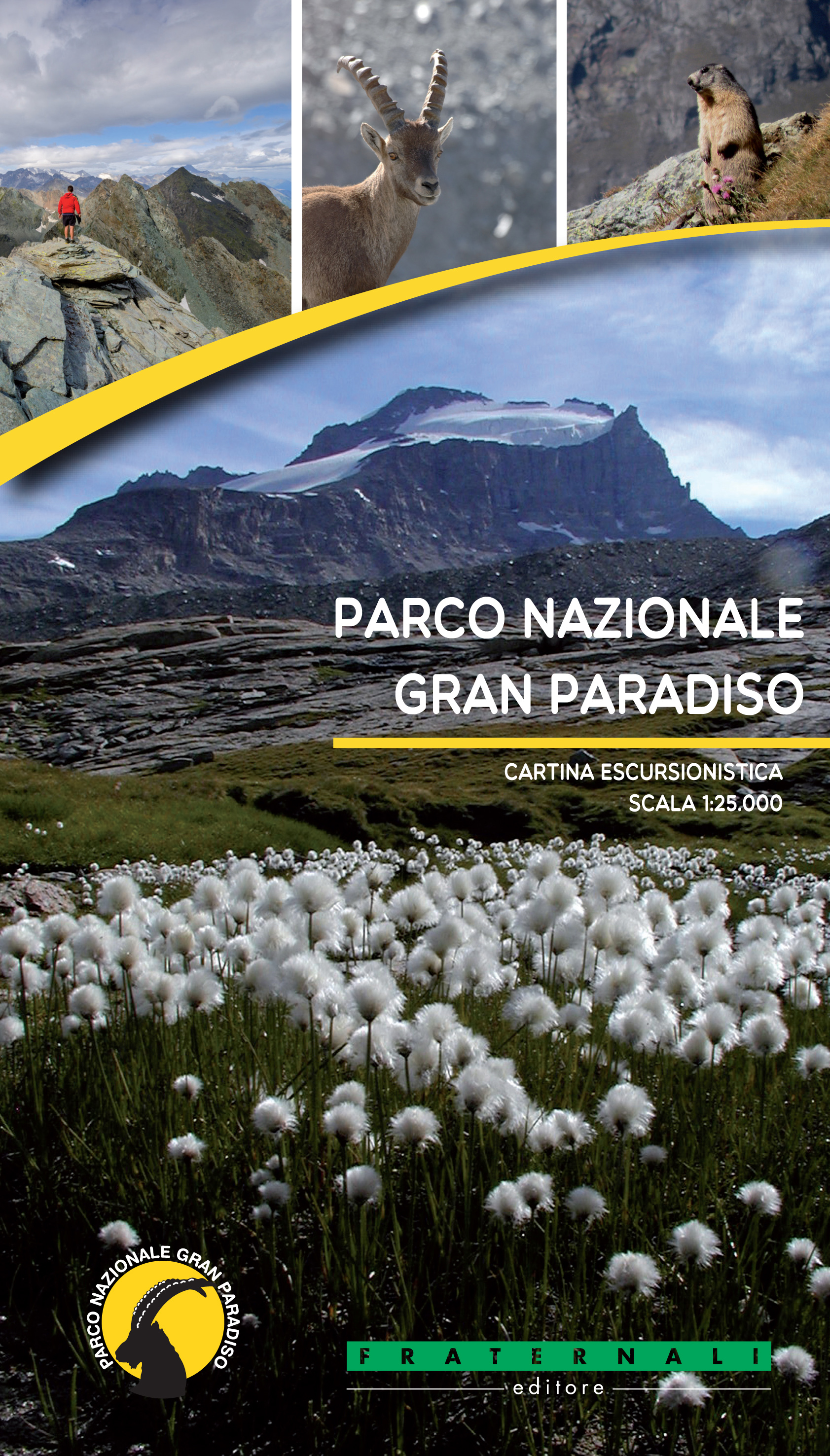
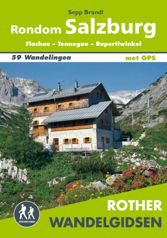
€ 24.95
Reisgids Experience Croatia | Lonely Planet

Lonely Planet's Experience Croatia travel guide reveals exciting new ways to explore this iconic country with insider tips from our local experts and handy planning tools so you can create your own unique trip.


Discover amazing local experiences from exploring the hidden coves of Vis, to roaming Plitvice Lakes National Park with its turquoise ribbon of lakes and falls, and sampling vintage wines from the foothills of Motovun.


Build a one-of-a-kind trip with Lonely Planet's Experience Croatia travel guide:


Our Experience guidebook format reveals exciting new ways to explore epic destinations and plan the ultimate 1-2 week adventure

Local experts share their love for the real Croatia, offering fresh perspectives into the country's traditions, values, and modern trends

Trip planning tools help you create your own regional and activity-based itineraries so you can navigate Croatia and connect experiences together with ease

In the know tips help you discover even more local experiences when visiting well-known sights and landmarks

Fun insights will pique your curiosity and take you to the heart of the place - explore the Museum of Broken Relationships, learn about Istria's long tradition of olive oil production, swot-up on Central Dalmatia's gastronomic highlights

Insider scoop on the best festivals, secret hangouts, hidden locations, tantalising local food scene, and photo-worthy views

Handy seasonal planning calendar guides you on where to go, when to travel, and what to pack

QR codes unlock extra digital content, know-how, and travel secrets 

Practical information on money, getting around, unique and local ways to stay, and responsible travel

Inspiring full-colour photography and maps including a pull out map of Dubrovnik

Covers: Zagreb, Continental Croatia, Istria, Kvarner, Northern Dalmatia, Split & Central Dalmatia, Dubrovnik & Southern Dalmatia


€ 12.50
Wegenkaart - landkaart Visitors map London | A-Z Map Company

Clear and easy-to-read map of central London and surrounding area. Contains detailed mapping, presented in a handy compact format. This attractive map, ideal for both tourists and residents, and fully updated, has an extensive area of coverage and displays a wealth of detail.


Fully classified roads

Congestion and ULEZ charging zones

Postal districts and boundaries clearly depicted

Full indexes to street names (on back of map), place names and places of interest

Fully updated London underground map conveniently located on the back cover

Extends from Hampstead in the north to Clapham in the south and from Hammersmith in the west to Greenwich in the east.


The perfect map for exploring London whether you are a tourist or a local.


Scale: 1:17,500 (3.6 inches to 1 mile)

€ 6.95
Stadsplattegrond Newcastle lively city | Quickmap

Know Newcastle like a local with area flavours. See all the attractions inside and surrounding including Durham and find easy ways to get to them without a car. Instantly understand the city on the zippy folding maps inside the discreet pocket-sized cover. This map-guide is ideal for visitors who are interested in experiencing this dynamic city.


€ 17.50
Wandelgids Dänemark: Gendarmstien | Conrad Stein Verlag

Am Nordufer der Flensburger Förde schlängelt sich der 85 km lange Gendarmstien ("Gendarmenpfad") durch die von eiszeitlichen Gletschern geprägte Landschaft an der dänisch-deutschen Grenze entlang einer abwechslungsreichen Küste mit Steilufern, Stränden, Schlössern, Haffs und Häfen. Bis 1959 patrouillierten hier dänische Zöllner zu Fuß, ehe die Kontrollgänge sich zu motorisierten Fahrten auf Straßen wandelten. Nach der touristischen Erschließung in den 1980er-Jahren und einer späteren Erweiterung präsentiert sich heute ein Top-Wanderweg, der als erster Fernwanderweg Dänemarks mit dem europäischen Qualitätssiegel "Leading Quality Trails, Best of Europe" ausgezeichnet wurde. Der Gendarmstien zieht sich in 5 Tagesetappen von Padborg bei Flensburg durch ein Tunneltal und weiter entlang der Fördenküste bis kurz hinter Sønderborg auf der dänischen Insel Als. An den Gendarmstien schließt sich der 62 km lange Alsstien an, der großteils entlang der stellenweise bewaldeten Ostküste von Als nach Nordborg führt und von dort aussichtsreich vorbei an mehreren Seen nach Hardeshøj an der Westküste von Als. Nach einem Fährentransfer über den Alssund geht es in 18 km ufernah auf dem Alssundstien zurück nach Sønderborg. Auch der Alsstien und Alssundstien sind als weniger bekannte Wege in diesem Wanderführer beschrieben, die kombiniert eine nette Runde über Als und den Alssund als östliche Ergänzung zum Gendarmstien bieten.Das Buch beschreibt den Wegverlauf und Orte sowie Sehenswürdigkeiten ausführlich. Dazu kommen zahlreiche praktische Infos zu Übernachtungs-, Einkaufs- und Einkehrgelegenheiten. Wegen der überschaubaren Übernachtungsmöglichkeiten sind außerdem an den meisten Start- und Endpunkten sowie oft auch unterwegs Busverbindungen angegeben, sodass sich die meisten Etappen auch mit festem Standort sowie etappenweise ab Flensburg gehen lassen.Für alle Etappen stehen auf der Website des Verlages GPS-Daten mit Tracks und Wegpunkten zum Download bereit.


€ 9.95
Fietsgids route.nl Groots Genieten in Overijssel en Drenthe | Falk

Ben je op zoek naar leuke tips om Overijssel en Drenthe te ontdekken? Dan is deze handzame gids jouw ideale hulpmiddel want het A6 formaat past perfect in je fiets- en jaszak. De gids geeft je namelijk alles wat je nodig hebt voor één of meerdere leuke dagjes uit in Overijssel en Drenthe. Van mooie routes door natuurgebieden, steden en dorpjes tot sfeervolle restaurants, comfortabele hotels en andere plekjes om uit te rusten tijdens of na een actieve dag. Ga lekker op pad met deze routegids op zak. 70 fiets- en wandelroutes

€ 7.95
Stadsplattegrond Pocket Street Map Oxford | A-Z Map Company

Navigate your way around Oxford with detailed street maps from A-Z

This up-to-date, folded A-Z street map includes 1,600 streets in and around Oxford. As well as the University of Oxford colleges, the other areas covered are Jericho, Cowley, Botley, Carfax, St Giles, Headington, Marston and University Parks.


The large scale 1 mile to 5.5 inch (1 km to 8.68 cm) street map includes the following:


• Places of interest


• Oxford cycleways and routes


• One-way streets and car parks


• Index to streets, places of interest, place and area names, park and ride sites, national rail stations, hospitals and hospices


The perfect reference map for finding your way around Oxford.

€ 7.95
Stadsplattegrond Pocket Street Map Liverpool | A-Z Map Company

Navigate your way around Liverpool with detailed street maps from A-Z

This fully updated, folded map covers all of Central London, including: Regent's Park, King's Cross, The Barbican, Spitalfields, Tower Bridge, The South Bank, Waterloo Station, Westminster, South Kensington, Paddington Station and Lord's Cricket Ground.


The large scale 1 mile to 5.5 inch (1 km to 8.68 cm) street map includes the following:


• Places of interest


• One-way streets and car parks


• Index to streets, places of interest, place and area names, park and ride sites, national rail stations, hospitals and hospices


• Separate lists of streets, places of interest, cinemas, theatres and stations (which include London Underground, National Rail and Docklands Light Railway stations)


• A central London Underground Map is printed on the back cover.


The perfect reference map for finding your way around Central London.

€ 15.95
Reisgids Tanger | Petit Futé

Encore méconnus du public, Tanger, son littoral (Asilah) et la région du Rif (Chechaouen, Tétouan) s'avèrent plus authentiques, dépaysants et mystérieux que leurs rivaux désormais façonnés pour accueillir des hordes de visiteurs. Une nouvelle fois, Petit Futé fait office d'éclaireur et vous emmène à la découverte de cette ville fascinante avant les autres.


€ 6.95
Stadsplattegrond Comfortmap Porto | ExpressMap

Plan de ville détaille de Porto, au format de poche, avec en prime des renseignements sur les sites touristiques les plus importants (en ang. et esp.). Le tout agrémenté de photos en couleur


Abonneer op