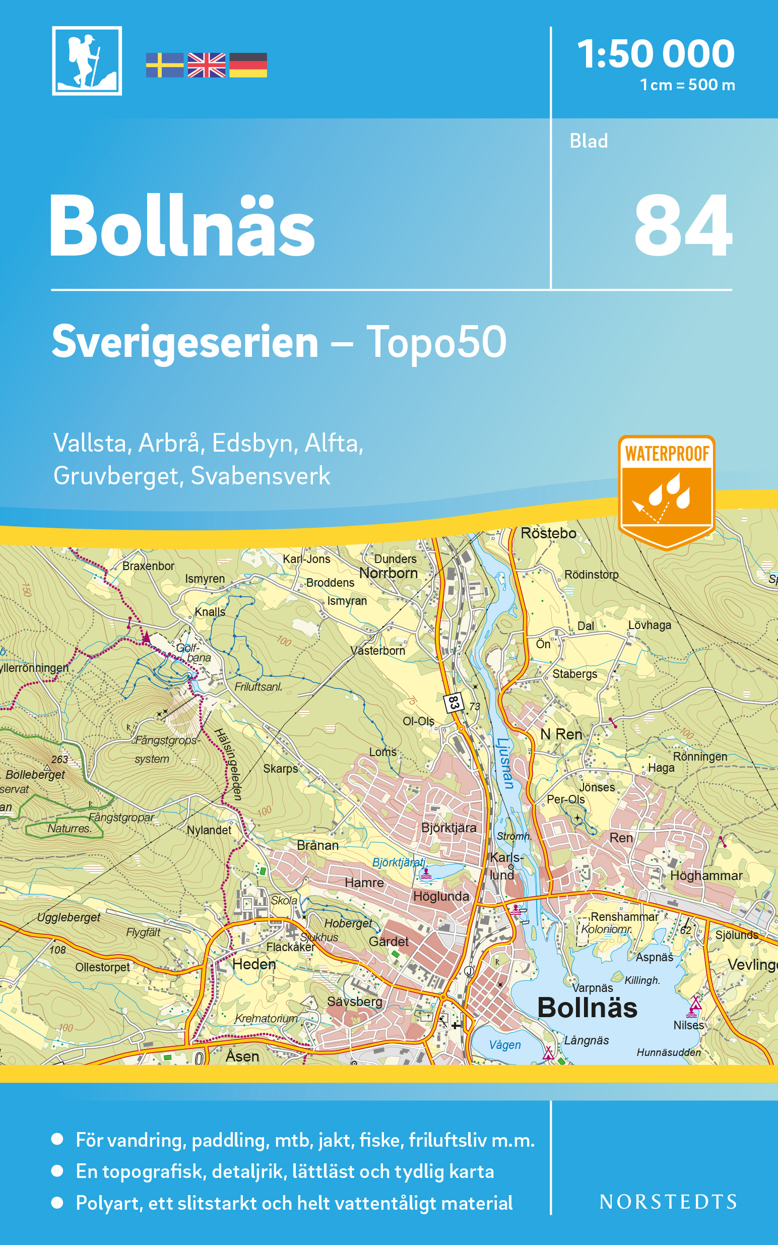
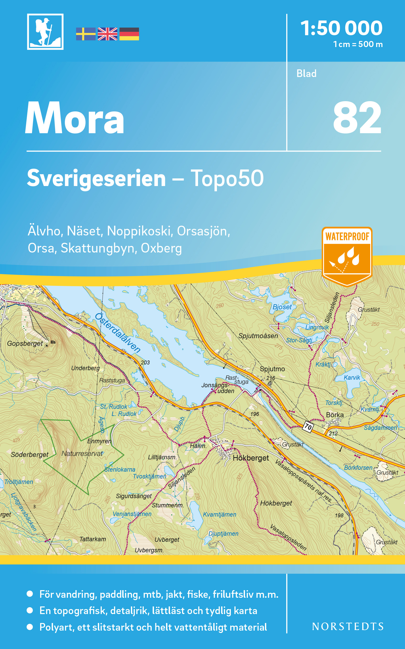
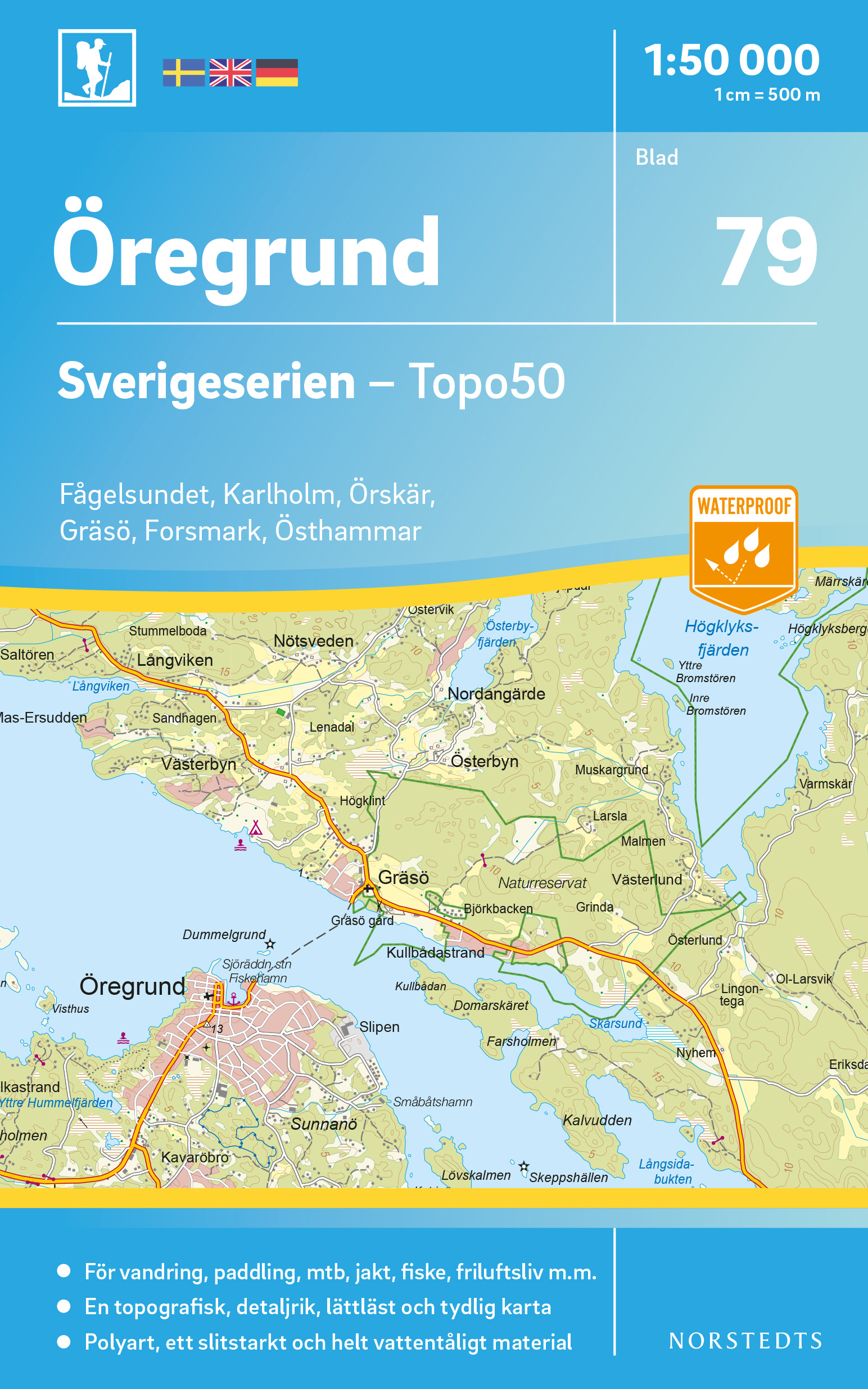
€ 20.50
Wegenkaart - landkaart Schweiz - Zwitserland | Kümmerly & Frey

Duidelijke wegenkaart met wegnummers, grote en kleine plaatsen, spoorlijnen, veerverbindingen, toeristische informatie en bezienswaardigheden. Met plaatsnamenregister. Op de achterzijde bevinden zich ondermeer 10 stadsplattegronden

Offizielle Strassenkarte Touring Club SchweizKümmerly+Frey mit dem Touring Club Schweiz gemeinsam auf Schweizer-Strassen! Diese Strassenkarte bringt Ihnen zahlreiche Vorteile: - modernste digitale Kartografie - aktuelles und übersichtliches Kartenbild - unvergleichbare Schweizer Qualität - wertvolle touristische Informationen und Sehenswürdigkeiten - 4-sprachige Legende - 13 Stadtübersichtspläne Begleitheft mit Ortsindex und PLZ, Reiseinformationen, Distanztabelle, Verkehrssicherheit TCS Massstab: 1:301 000 

€ 18.50
Reisgids Aruba | Moon Travel Guides

De Amerikaanse uitgever Moon is een vergelijkbare gids met uitgever Lonely Planet > veel praktische informatie met veel diepgang! Het feit dat het een Amerikaanse uitgever is, maken deze gidsen zeer aantrekkelijk voor de staten afzonderlijk. De Lonely Planet haalt dat nivo niet!.

Longtime resident Rosalie Klein gives travelers an inside look at Aruba, whether they’re diving to see Antilla or staying on land and exploring the country’s rich heritage and vibrant nightlife. Drawing on over 30 years of experience, Klein offers her expert advice on how to make a stay both memorable and affordable and which of the sights should not be missed—including the Casibari Rock Formation and the Archeological Museum. Complete with information on hiking at Arikok National Park, enjoying a cultural festival in Oranjestad, and watching turtles hatch on Eagle Beach, Moon Aruba gives travelers the tools they need to create a more personal and memorable experience.   

€ 20.95
Natuurgids - Vogelgids Wildlife of the Okavango | Struik Nature

A remarkable variety of animals and plants can be found in the wilderness region surrounding the Okavango Delta. This photographic guide covers more than 470 of the area's most conspicuous and interesting mammals, birds, reptiles, frogs, fishes, invertebrates, trees and aquatic plants


An informative introduction describes the area's geology, climate, habitats and the key roles played by some animals, such as termites and elephants. The species accounts feature concise text describing the species' appearance, size, habits, habitat and status, with full-colour photographs to facilitate identification.

Contents


INTRODUCTION

HOW TO USE THIS GUIDE

GEOLOGY AND TOPOGRAPHY

MAP OF REGION

CLIMATE

IDENTIFYING AND WATCHING WILDLIFE

HABITAT DESCRIPTIONS

Open Water

Permanent Swamp

Floodplain Grasslands

Islands

Riverine Forest

Savanna and Scrub

Woodland

Rocky Outcrops

SPECIES DESCRIPTIONS

Mammals

Birds

Reptiles

Frogs

Freshwater Fishes

Invertebrates

Trees and Woody Shrubs

Soft-stemmed Shrubs and Herbs

Grasses and Sedges

REFERENCES AND FURTHER READING

DESTINATIONS AND USEFUL ADDRESSES

GLOSSARY OF SCIENTIFIC TERMS

INDEX OF FEATURED SPECIES

€ 25.95
Wandelkaart 160 Landranger Active Brecon Beacons | Ordnance Survey

Zeer goede detailkaart met topografische ondergrond. Hierop zijn toeristische symbolen van bezienswaardigheden ingetekend, daarnaast staan bijvoorbeeld campings en jeugdherbergen vermeld en - voor wandelaars het belangrijkst - alle right of way paden en Lange afstands Wandelpaden zijn er op te vinden. De ideale kaart voor het wandelen in Engeland, Wales of Schotland.


Deze kaart is geheel geplastificeerd en heet daarom de Active Map, for all extremes!


€ 185.00
Wandkaart - Prikbord Afrika Politiek - Africa Political, 120 x 100 cm | Maps International

Fraaie politieke kaart van het continent, waarbij vooral de politieke aspecten heel duidelijk te lezen zijn. Alle landen hebben verschillende kleuren, steden en belangrijke verbindingen zijn goed te vinden.


De wandkaarten op prikbord worden geleverd met een aluminium lijst en een eenvoudig te monteren ophangsysteem. Zij zijn geschikt voor allerhande markeringsystemen als vlaggetjes en prikkers.


Maps International's Africa political wall map shows the whole African continent from Morocco in the north, to South Africa and Madagascar in the south. 


This political wall map of Africa features countries marked in different colours, with international borders clearly shown. The map's key shows a panel of flags from each of the countries displayed in this African continent map. This political wall map of Africa also contains population detail, capital cities and all the major towns and cities in this continent. 


As with most of Maps International's maps, the Africa political wall map, is available either plain or laminated. Ideal size for an office or classroom or for planning a trip around Africa.

€ 12.50
Wandelkaart 059 Monti Lessini - Lessinia | Tabacco Editrice

De beste wandelkaarten voor de Dolomieten. Zeer veel topografische details met secure hoogtelijnen (25 meter interval), helder kleurgebruik en bijna alle Tabacco kaarten hebben een UTM grid (voor GPS toepasbaar).


Daarnaast zijn op deze wandelkaarten wandelroutes ingetekend met nummering gelijk aan markering onderweg aangebracht door de lokale bergsportvereniging. De zwaarte van de routes wordt duidelijk door het verschil in markering. Uiteraard worden de Alta Via routes vermeld en ingetekend, alsmede de Via Ferrata waar je met behulp van stalen ladders verder komt dan de gewone wandelaar.


Als extra informatie worden met symbolen 6 verschillende typen accommodatie aangeduid van berghut, hotel tot camping. Bushaltes, stoeltjesliften en kabelbanen ontbreken niet.


Dorpen, bergen en dalen:

Recoaro, Bosco-Chiesanuova, Badia Calavena, Selva di Progno, Giazza, Bauci, Fumane, Molina, Erbezzo, Peri, Cerro Veronese. 

€ 16.50
Reisgids Memphis | Moon Travel Guides

De Amerikaanse uitgever Moon is een vergelijkbare gids met uitgever Lonely Planet > veel praktische informatie met veel diepgang! Het feit dat het een Amerikaanse uitgever is, maken deze gidsen zeer aantrekkelijk voor de staten en nabije landen afzonderlijk. 

From legendary barbecue to famous blues, soak up the best of Bluff City with Moon Memphis.

See the Sites: Immerse yourself in history at the National Civil Rights Museum or the Stax Museum of American Soul Music. Pay respects to the King at Graceland, take an evening stroll down Beale Street where the Memphis blues were born, and watch the march of the ducks at the elegant Peabody Hotel

Get a Taste of the City: Feast on world-famous barbecue, fried chicken, and catfish, savor a homemade plate lunch with cornbread and fried green tomatoes, or opt for a multi-course meal at one of Memphis’s classic steakhouses

Bars and Nightlife: Listen to live blues at B.B. King’s, tour a brewery and sample a flight, and dance the night away at an old-school juke joint

Honest Advice from Tennessean Margaret Littman on the real Memphis, from local businesses to historic hotspots

Flexible, strategic itineraries including a five-day best of Memphis and tours of the art scene and Civil Rights history, plus day trips to the Mississippi Blues Trail, Tupelo, Little Rock, Hot Springs National Park, and more

Tips for Travelers including where to stay, how to safely bike the city, and more, plus advice for LGBTQ visitors, international travelers, and families with children

Maps and Tools like background information on the history and culture of Memphis, easy-to-read maps, full-color photos, and neighborhood guides from Downtown to Soulsville

With Moon Memphis’s practical tips and local know-how, you can experience the best of the city.

€ 25.95
Wandelkaart East Highland Way | Harvey Maps

Mooie, duidelijke kaart van de East highland Way in Engeland. Geplastificeerd met veel extra informatie en uitsnedes van de route. 

East Highland Way is an exciting new unofficial long distance route between Fort William and Aviemore. Pioneered by Kevin Langan, this 82 mile trail forms a new link between the northern end of the West Highland Way and the southern end of the Speyside Way. It also joins with the Great Glen Way at Fort William. It is a tranquil route which takes in a varied and wild landscape and includes the ancient Caledonian Forests of Inshriach, loch-side trails and mountain wilderness. Access to accommodation has been carefully considered wherever possible, making this route accessible to walkers of all abilities.

The map is arranged in panels so that at any one time you only have to have the part you need open. It is supplied folded in a plastic pocket. The map shows the detail you need for navigation. There is a full key and scale bar.


Information on planning your trip, accommodation, useful telephone numbers and websites, travel and tips are all included.

€ 47.95
Wereldkaart 22005 Politiek, 110 x 77 cm | National Geographic

Politieke wereldkaart van National Geographic. De klassieke blauwe vorm, met helder kaartbeeld. De landen hebben met kleuren duidelijke grenzen en er staan opvallend veel topografische details op. Ondanks de schaal een behoorlijk aantal plaatsnamen. Mooi vormgegeven met een klassieke rand er om heen.


Uitvoering met blauwe metalen ophangstrips


This world map features the Winkel Tripel projection to reduce distortion of land masses as they near the poles. Features include subtle border coloring on land, and prevailing winds and ocean currents at sea. Separate insets show the North and South Polar Regions, world vegetation and land use, and world population density.

€ 14.95
Wegenkaart - landkaart Roemenië & Moldavië | Freytag & Berndt

Uitstekende tweezijdige wegenkaart van Roemenië met veel informatie als campings, natuurgebieden, hoofd- en kleine wegen en veel bezienswaardigheden.


Gedetailleerde, tweezijdige landkaart van Roemenië, prima geschikt voor planning en rondtrekken.. De berijdbare wegen zijn goed weergeven, zowel de hoofdwegen als provinciale en lokale wegen; wegnummers worden vermeld. Afstanden tussen plaatsen zijn in kilometers op de kaart ingetekend, daarnaast worden ook op belangrijke plekken benzinepompen gemarkeerd.


In het kaartbeeld wordt door middel van schaduw het reliëf weergegeven en soms enkele punten in het landschap met de daadwerkelijke hoogte. Provinciegrenzen zijn goed terug te vinden, nationale parken en reservaten ook. Met allerhande symbolen worden toeristische bezienswaardigheden weergegeven als monumenten, historisch belangrijke plekken en uitzichtpunten. In bepaalde plaatsen zijn hotels en campings te vinden, luchthavens, treinverbindingen en havens vindt u er ook op!

Abonneer op