
Magnetische puzzel Corse | Extragoods
€ 14,95 De Zwerver →
Een reliëfpostkaartje dat zo verstuurd kan worden. - Visueel zeer aantrekkelijk. - Zeer dicht bij de werkelij…
Wandelkaart met ingetekende wandel- en fietsroutes (mountainbike). Met toeristische bezienswaardigheden en andere …
Wandelkaart met ingetekende wandel- en fietsroutes (mountainbike). Met toeristische bezienswaardigheden en andere …
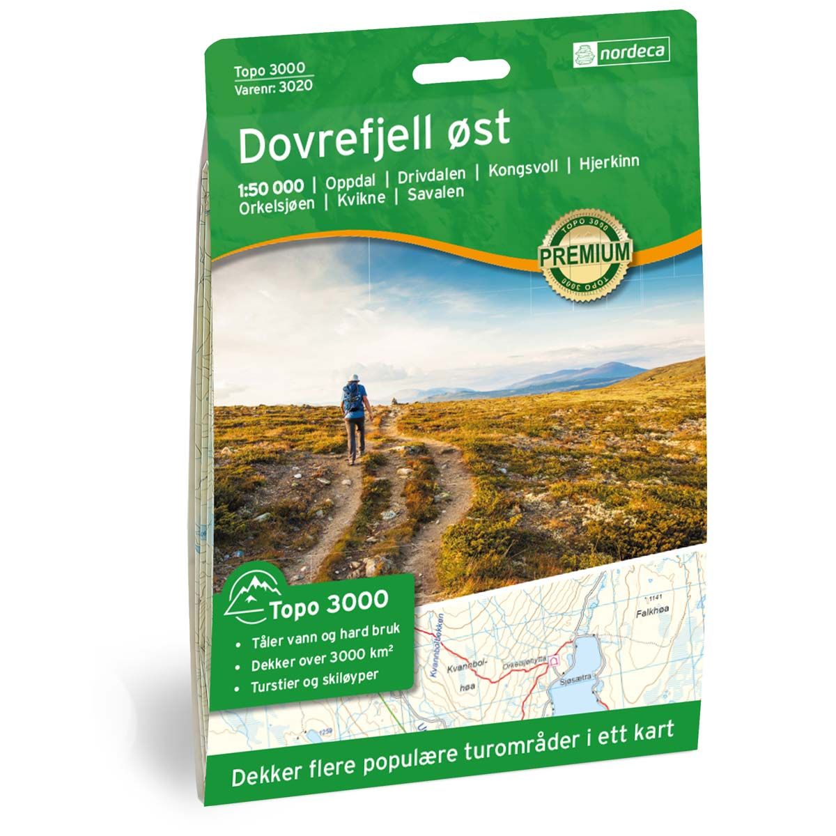
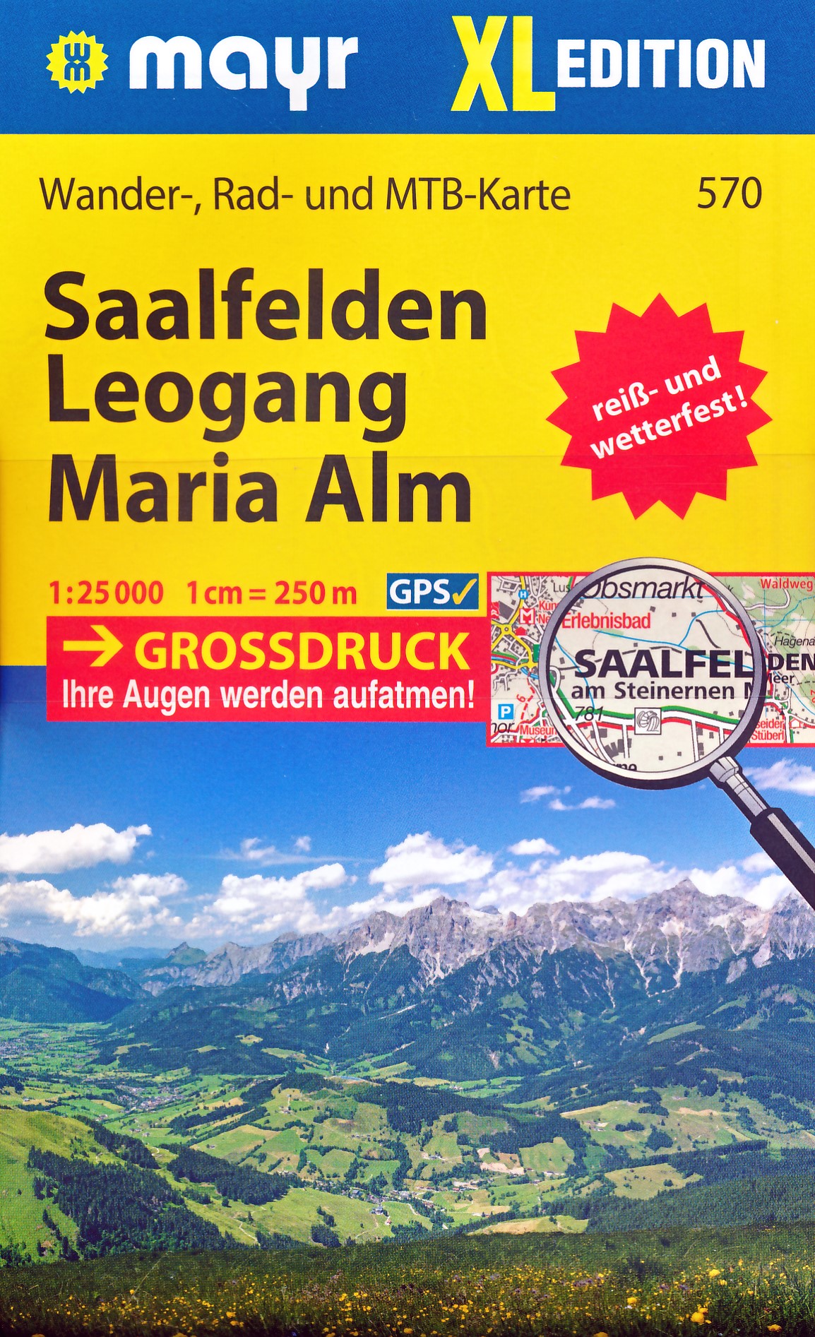
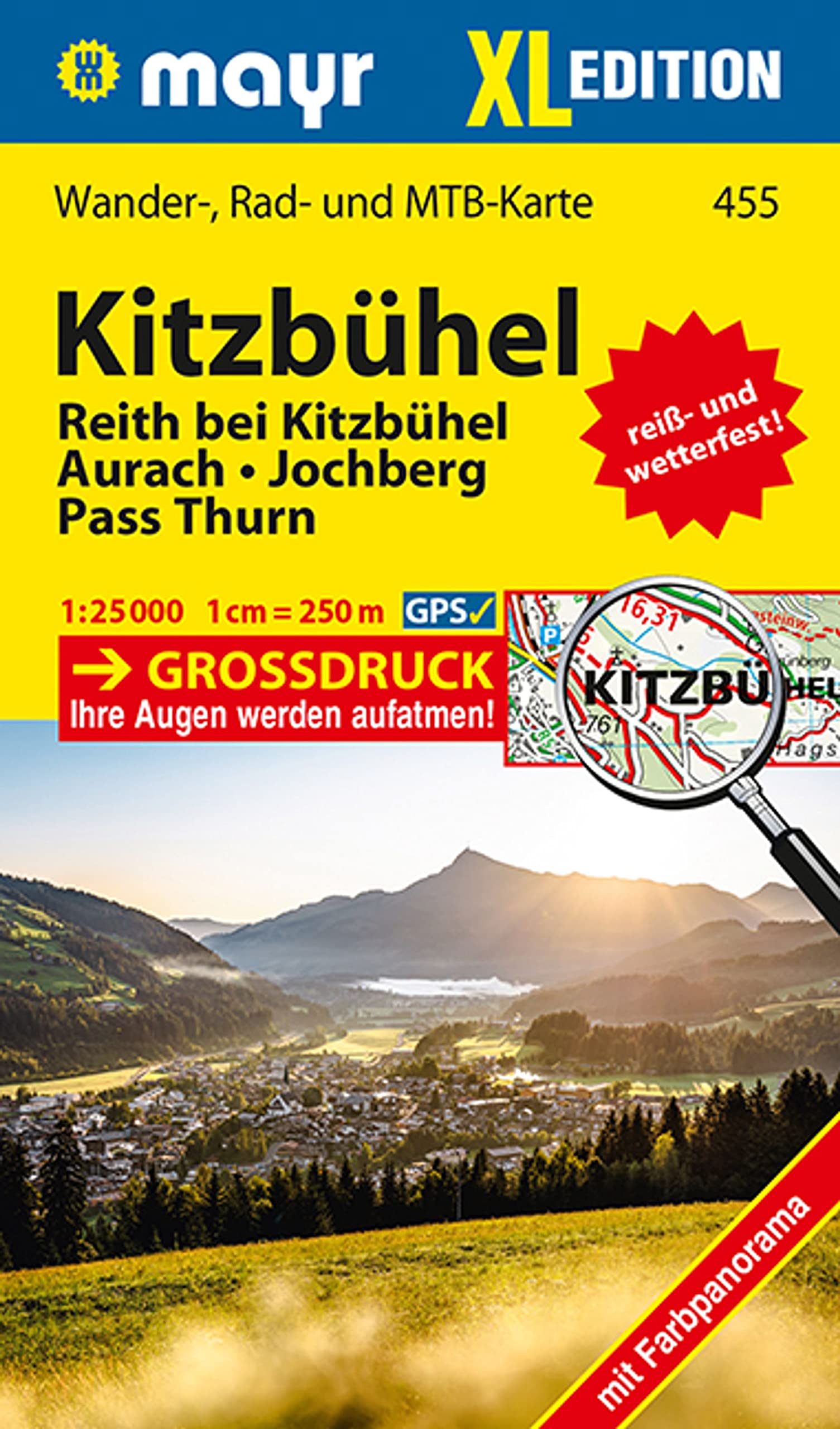
Gedetailleerde topografische wandelkaarten van scheur- en watervast papier. Wandelroutes zijn op de kaart ingeteke…
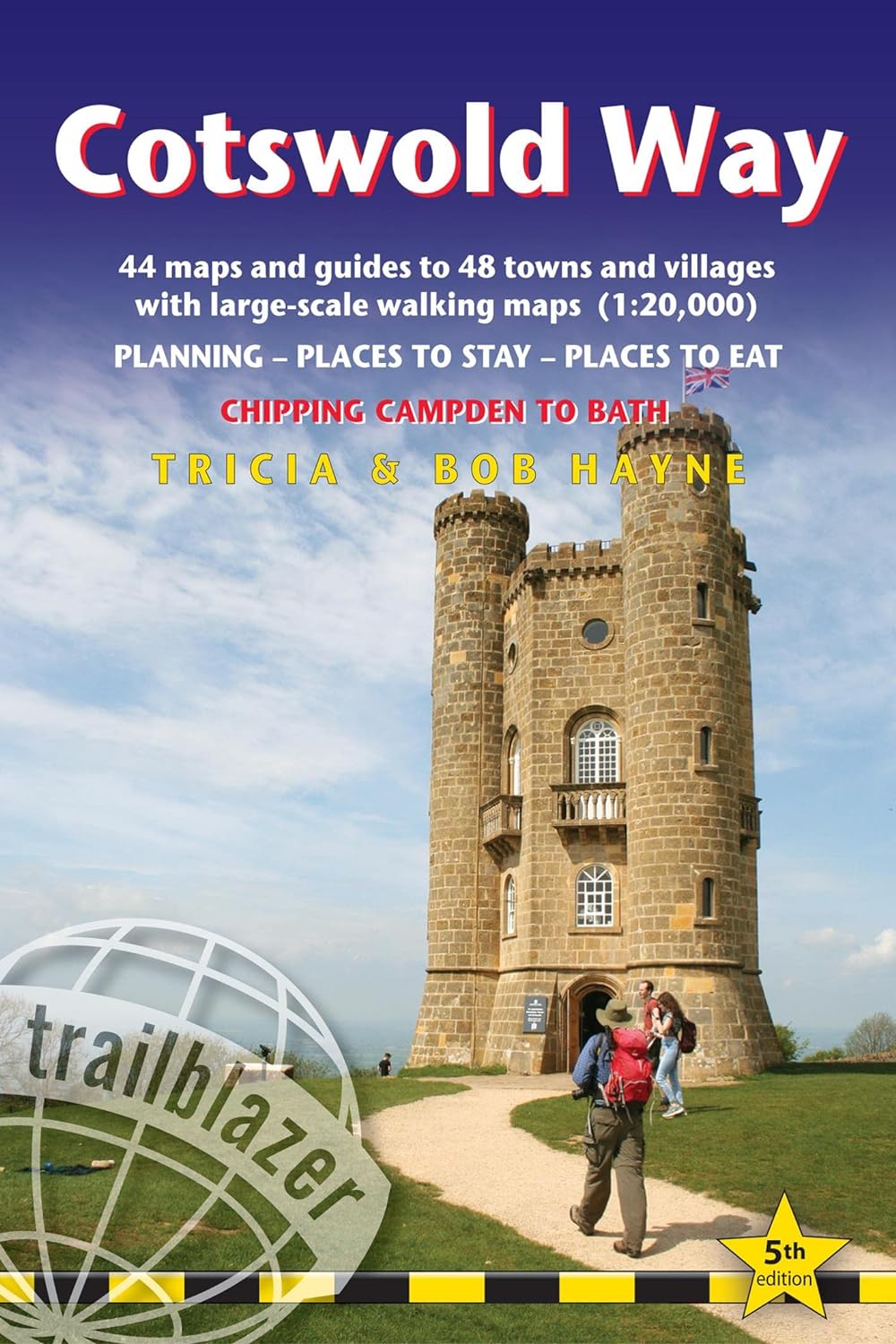
Goede wandelgids van de hele route van Chipping Campden naar Bath. Met veel details zijn alle etappes beschreven. …
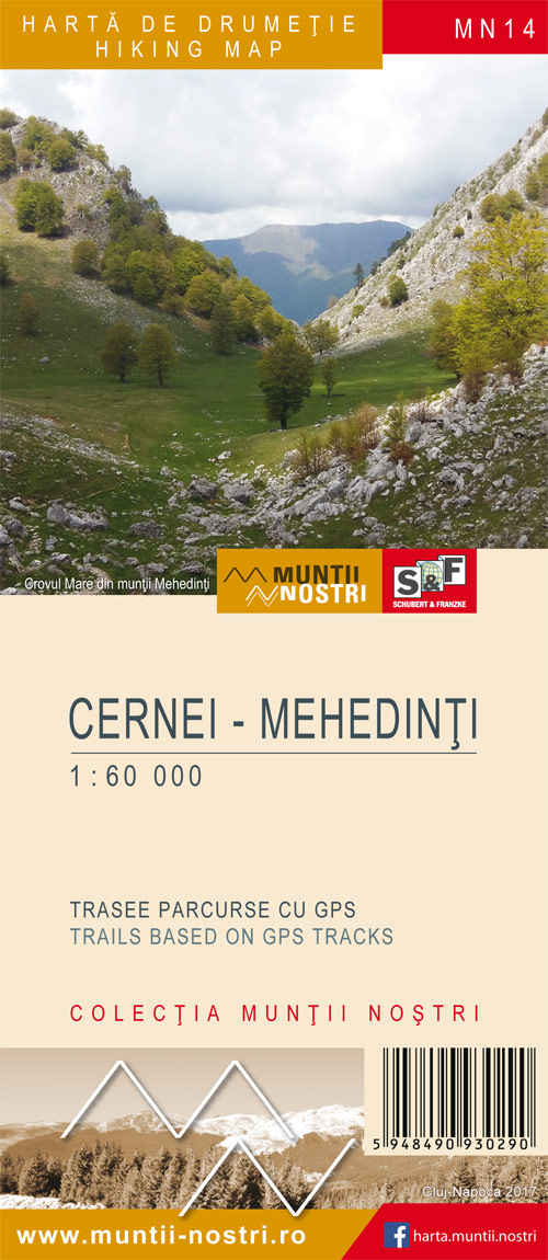
Verrassend goede kaarten van een aantal bekende Roemeense wandelgebieden. Gedrukt op stevig papier. Gedetaille…
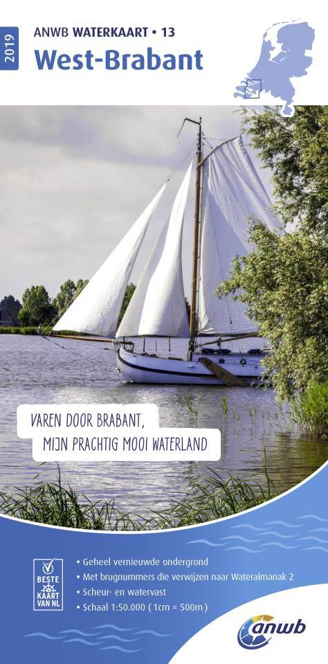
De ANWB Waterkaarten zijn geheel vernieuwd, de kaarten bedekken nu geheel Nederland, inclusief de Wadden en de Ned…
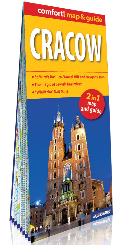
Een compacte reisgids met veel illustraties, veel aandacht voor cultuur en bevolking en hier en daar praktische in…