€ 9.95
Stadsplattegrond Fleximap Krakow - Krakau

Geplastificeerde kaart van Krakau, met register. Voor de 'gewone' toerist een handige kaart, geen groot formaat, overzichtelijk met alle belangrijke plaatsen goed weergegeven.

Insight Flexi Map Krakow combines a laminated finish, clear cartography and travel information to guide you around the city. There are two detailed street maps of the city and its public transport network, plus a map of the surrounding area (including the Tatra mountains) and a map of Poland. Points of interest and general tourist information are clearly marked, and the mapping is complemented by a descriptive list of recommended sights and essential tourist information.

€ 8.95
Stadsplattegrond Leipzig | Falk Ostfildern

Goede handzame stadsplattegrond van Leipzig met register. Centrumkaartje op betere schaal en een aparte OV inzet. 

Für deutsche Großstädte sind die Falk Citypläne im Pocket-Format einfach nützlich. Mit Straßenverzeichnis, Durchfahrtsplan und Verkehrslinienplan.

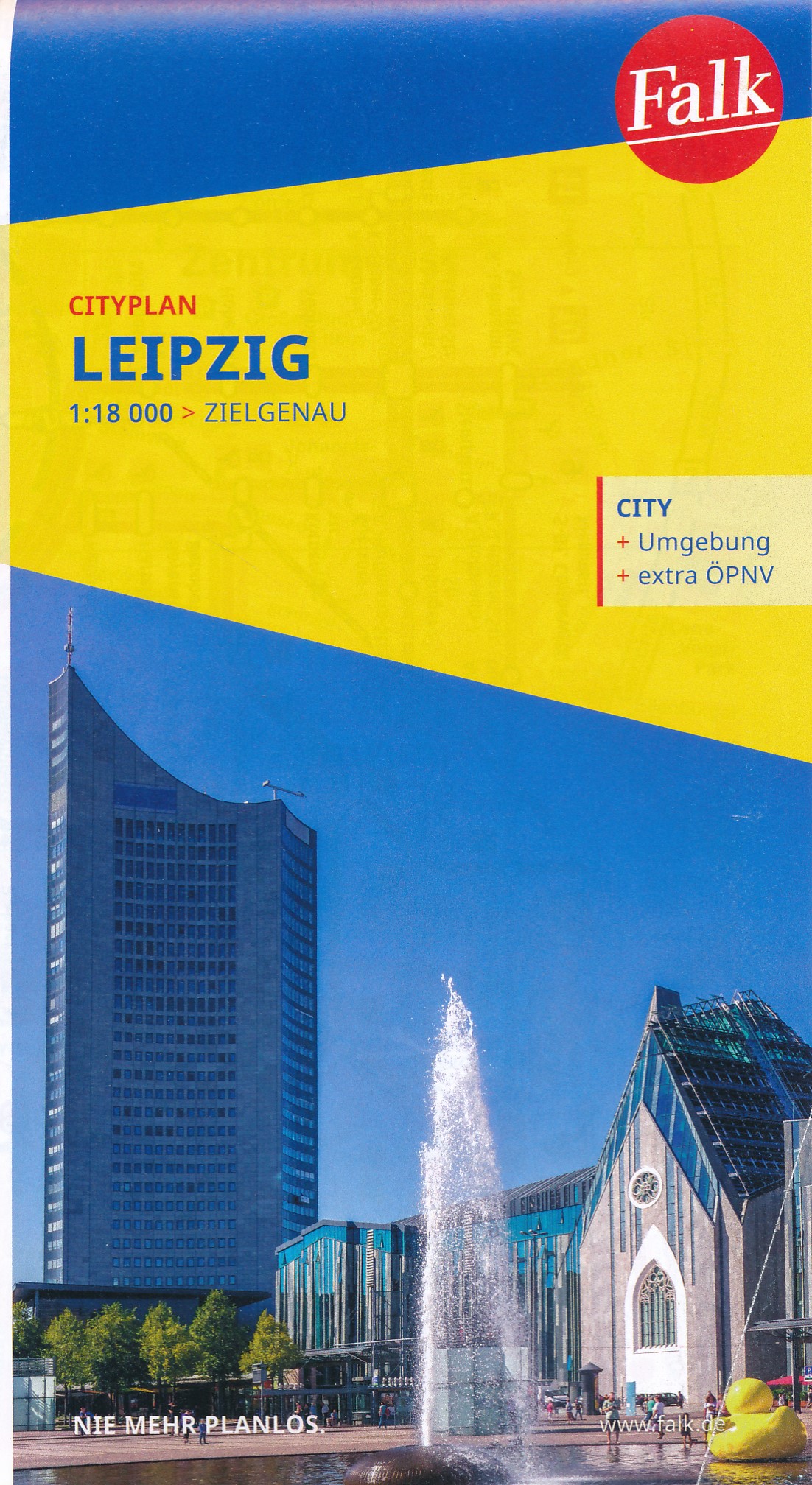
Mit dem FALK Cityplan ist man im Kernbereich einer Großstadt unterwegs. Dieser handliche Plan ist der ideale Wegweiser für die schnelle Orientierung in der fremden Stadt. Für den Touristen ist dieser #kleine FALK" bei der Stadtbesichtigung nahezu unentbehrlich. Großflächige Nebenkarten geben wertvolle Auskünfte; man erhält hier Hinweise für eine gezielte Zufahrt, Detailinformationen zum Innenstadtbereich und lernt die schnellen, öffentlichen Verkehrsmittel der Stadt kennen. Wird eine bestimmte Straße gesucht, so findet man diese im Straßenverzeichnis auf der Rückseite des Planes. Neben dem blauen Suchgitter enthalten alle Citypläne ein schwarzes UTM- Gitternetz (nicht bei den Hyperboloid-Projektionen). Das Netz hat eine Maschenweite von 2.000 Metern mit einer Feineinteilung von 100 Metern # einfach ideal zur Entfernungsabschätzung für die Entdeckungstouren durch die Stadt.


Hauptkarte 1:20 000 mit mehrsprachiger Legende (D, GB, F) - Cityplan Zentrum Leipzig 1:10 000 - Durchfahrtsplan 1:110 000 - LVB Liniennetzplan; Auf der Rückseite: - Straßenverzeichnis mit Postleitzahlen und Suchfeldangaben - Daten und Fakten

€ 11.50
Stadsplattegrond Algiers | Laure Kane

Stadsplattegrond van Algiers met stratenindex. Frans- en engelstalig.

Central Algers on an indexed tourist street plan, showing landmarks and places of interest. Coverage extends from the Cathédrale Notre Dame d’Afrique and the European cemetery in the north to the Presidential Palace and the Riadh El Feth complex (Musée du Djihad) in the south.

Various public buildings, places of interest and facilities such as hotels, markets, tourist information, railway stations and bus terminals, religions buildings, petrol stations, etc, are highlighted in different colours and/or marked by various icons.

On the back cover is a small road map of the city and the Bay of Algiers area showing the Houari Boumediene international airport and main road and rail links.

The map has a street index, plus separate lists of points of interest, main governmental institutions, selected hotels, medical facilities and mosques.

The map legend is in English, French and Arabic