€ 11.50
Stadsplattegrond Brisbane and Region | Hema Maps

Mooie, duidelijk kaart van Brisbane  en de omgeving van Brisbane.


A map of the greater Brisbane region, Bribe Island to Coomera and west to Ipswich, on one side (1:100,000) and a lower scale overview of the city and surrounding regions on the reverse (1:300,000). There are also maps of Brisbane city and the Gold Coast inset, along with official ferry and rail maps. Includes caravan parks, 24-hour fuel, postcodes, accommodation and more.


Places of interest on this map include:


Anzac Memorial 

Brisbane Botanic Gardens 

Brisbane Convention & Exhibition Centre 

Brisbane City Hall 

Customs House 

Gallery of Modern Art 

King George Square 

Old Government House 

Old Windmill Observatory 

Queensland Performance Arts Complex 

Queen Street Mall 

Queensland Art Gallery 

Queensland Cultural Centre 

Queensland Museum 

Queensland University of Technology 

Queensland Theatre Company 

South Bank 

St John's Cathedral 

St Stephen's Cathedral 

State Library of Queensland 

Suncorp Entertainment Piazza 

Treasury Casino 

Wheel of Brisbane


€ 11.50
Stadsplattegrond Canberra en omgeving | Hema Maps

Stadsplattegrond van Canberra met een omgevingskaart. Inclusief  register.


A map that has the Canberra suburbs (1:60,000) on one side and the Canberra city, Canberra region (1:850,000) and ACT (1:375,000) maps on the other. 


Also included is an information section on Canberra's tourist attractions with necessary tourist attractions attached.


Features of this map include:


Highways,major roads and local streets

Points of interest

Accommodation

Parks

Caravan Parks

24Hour Fuel

Railway stations

Suburbs

Suburbs Index

Shopping centres

Theatres/Cinemas

Sporting venues

CBD Map

ACT Map

€ 13.95
Wegenkaart - landkaart - Stadsplattegrond Krakow - Krakau - South Poland | ITMB

Een goede stadskaart van Krakow p de ene zijde en een deel van zuid Polen op de andere kant.

ITMB's third map for Poland, concentrates on the central portion of the city, with a large inset of the central pedestrian area and with a regional inset map showing roads to Auschwitz (now called Oswiecim) and to Katowice. Legend includes inter-city rail lines w/ station, Krakow tram/street-car lines, parks, plazas, accommodations, churches, synagogues, points of interest, museums, police stations, shopping centres, hospitals, pedestrian streets, bike routes, bus stations. Indexed.

€ 11.50
Stadsplattegrond Pocket map Pretoria | MapStudio

The Pretoria Pocket Map is a new edition convenient pocket size map of Pretoria which includes the latest up-to-date information, key tourist areas and street plans. The map includes a detailed map at 1:12 500 scale plus a map of the Hartebeespoort area with a scale of 1:100 000.


The detailed street plan includes:

– Main & minor roads

– Retail areas

– Traffic light positions

– Hotels & accommodation

– Tourist information

– Places of interest & historic sites

– Theatres & cinemas

– Shopping malls

– Parking

– One-way streets

– Sports and recreation areas

– Embassy positions

– Index of street names


The detailed area map covers:

– Akasia

– Hartebeespoort

– Atteridgeville

– Pretoria CBD

– Mamelodi

– Renosterspruit

– Centurion, Moreleta Park, Rietvlei & Midrand Estates

– Built-up areas with suburb names

– Index of street names & suburbs

€ 7.95
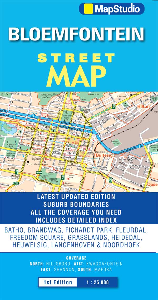
Wegenkaart - landkaart - Stadsplattegrond Bloemfontein | MapStudio

Uitgebreide stadsplattegrond van Bloemfontein  en directe omgeving.

The Bloemfontein Street Map is a 1st edition street map providing coverage of Bloemfontein and surrounds, plus includes the latest interchange layouts, names and route numbers. The main map is at a 1:25 000 street-level scale and includes a detailed Bloemfontein map.


The map features reserves, parks and fields; golf courses, sports fields and stadiums; retail areas and shopping malls; intersection layouts, route numbers and interchange names; places of interest, historic sites and hotels; suburb names with boundaries; schools and sporting venue locations; a detailed index booklet with all street names and suburbs; industrial areas; hospitals and clinic locations; police station locations; wine estates and heritage sites; traffic light positions; bird sanctuaries; detailed sport symbols for sport venues; parks and public open-areas; post office and library locations.


Coverage Extent: Batho, Brandwag, Fichardt Park, Fleurdal, Freedom Square, Grasslands, Heidedal, Heuwelsig, Langenhoven & Noordhoek.

€ 11.50
Wegenkaart - landkaart Adelaide and Region | Hema Maps

Mooie, duidelijk kaart van Adelaide en de omgeving van Adelaide.

Schaal: deels 1:80.000 en deels 1:270000

Great for use in the car, Hema's State Maps clearly show highways, minor and secondary roads, national and state routes and fully-indexed cities, towns and localities. Detailed road distances are also shown. All of the maps are double-sided and come in an easy-to-fold format. They are all also available with a deluxe cover (celloglazed cardboard).