€ 20.95
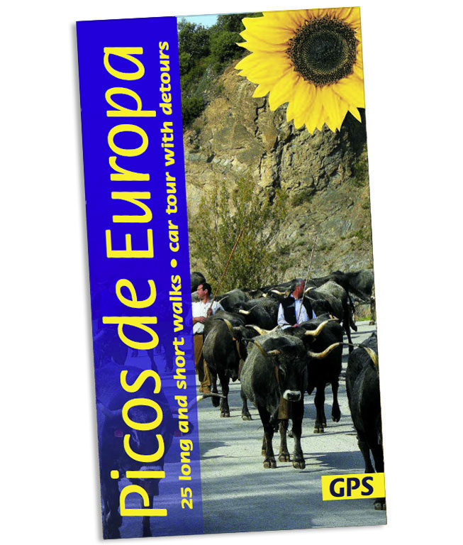
Wandelgids Picos de Europa | Sunflower books

Wandelgids: vele dagtochten worden degelijk beschreven met openbaar vervoer informatie, goede routebeschrijvingen en kaartmateriaal. Tevens enkele autotochten. Deze gids staat goed bekend! Engelstalig, want Nederlandstalige is uitverkocht en niet meer leverbaar.

The go-to Picos de Europa travel guide for discovering the best walks and car tours. Strap on your boots and discover Picos de Europa on foot with the Sunflower Picos de Europa travel guide. And on the days when your feet may have had enough, enjoy some spectacular scenery on our recommended car tour.


The Sunflower Picos de Europa guide is indispensable for hiking in Picos de Europa or seeing Picos de Europa by car. The Picos de Europa, one of Europe's last mountain wilderness areas, are the high point of a long ridge of mountains which runs along the north coast of Spain, the Cordillera Cantabrica. Rising to 2648m, about 8700ft, the Picos are divided into three spectacular limestone massifs separated from one another, and from the surrounding ranges, by precipitous gorges - a truly spectacular area in which to walk or tour.


Whatever your age or ability we've got some glorious walks and a fascinating car tour to ensure you have a memorable holiday in Picos de Europa. Inside the Sunflower Picos de Europa guide book you'll find:


* 25 long and short walks for all ages and abilities - each walk is graded so you can easily match your ability to the level of walk

* Topographical walking maps - give you a clear sense of the surrounding terrain with a scale of 1:50 000

* Free downloadable gps tracks - for the techies* Satnav guidance to walk starts for motorists

* a car tours and fold-out touring map - for easy reference on your tour

* Strolls to idyllic picnic spots - enjoy our recommendations for where to picnic along the way

* Timetables for public transport - ideal if you want to link two walks or avoid hiring a car on your holiday

* Online update service for the latest information

* Covers the entire range (all three massifs): Urrieles (central Picos), Cornion (western Picos), and Andara (eastern Picos)It contains a wealth of information about the dazzling array of plant and animal life you can expect to see when exploring the range. The author, an all-round naturalist, has been living and guiding walking tours in the Picos de Europa for almost 30 years.

 

€ 19.95
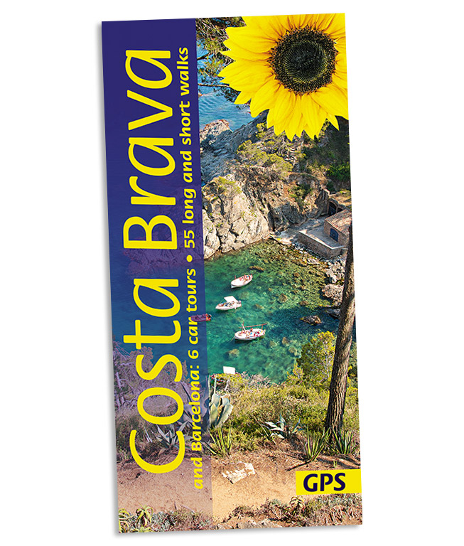
Wandelgids Costa Brava and Barcelona | Sunflower books

Wandelgids: vele dagtochten worden degelijk beschreven met openbaar vervoer informatie, goede routebeschrijvingen en kaartmateriaal. Tevens enkele autotochten. Deze gids staat goed bekend!

6 autotochten en 55 wandelroutes

The Costa Brava — literally the ‘rugged coast’, in reference to the rocky, inhospitable nature of much of the shore — runs from the French border southwards towards Barcelona. Behind the coast lie the Serralada Litoral and Serralada Prelitoral. These ranges include such varied landscapes as the extraordinary conglomerate pinnacles of Montserrat, the dormant volcanoes of the Garrotxa and the subalpine heights of the Montseny. It is this very variety, coupled with its proximity to Barcelona and the coastal towns, that makes walking in the Costa Brava hinterland so attractive.


The authors describe the best walks in this part of Catalonia, be they the classic routes that form part of the repertoire of any self-respecting Catalan walker, or some of their personal favourites way off the beaten track. A special feature of this guide is the focus on the enormous variety of wildlife on offer, and the authors, keen naturalists, urge you to carry a pair of binoculars and the appropriate field guides.


Area covered: from Portbou, Colera, the Serra de l’Albera and Port de Llança in the north down to Barcelona in the south. The book does not cover the Costa Dorada (which is south of Barcelona).


Best months for walking: September to June.

€ 19.95
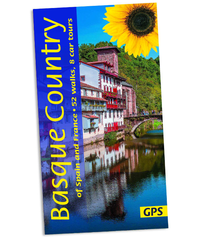
Wandelgids Basque Country (Baskenland) | Sunflower books

Wandelgids: vele dagtochten worden degelijk beschreven met openbaar vervoer informatie, goede routebeschrijvingen en kaartmateriaal. Tevens enkele autotochten. Deze gids staat goed bekend! Engelstalig, want Nederlandstalige is uitverkocht en niet meer leverbaar.

8 autotochten en 32 wandelingen

The go-to Basque Country walking guide for discovering the best walks and car tours. Strap on your boots and discover Basque Country on foot with the Sunflower Basque Country travel guide. And on the days when your feet may have had enough, enjoy some spectacular scenery on one of our legendary car tours.


The Sunflower Basque Country guide is indispensable for hiking in Basque Country or seeing Basque Country by car. This is the first guidebook to bring together hikes and tours in the Basque Country, which runs east from Bilbao in Spain to Biarritz in France and takes in famous places like Pamplona and stages on the Camino de Santiago. The entire Basque coast is mostly very rugged, with many thriving fishing towns and villages, plus the added attraction of splendid beaches.


Inland the countryside is more mountainous, with lush green countryside. Don't miss the award-winning Guggenheim Museum in Bilbao, the Pilgrims' Route to Santiago, the San Fermines fiestas at Iruna-Pamplona, or stunning coastal resorts like Donostia-San Sebastian and Biarritz. But most of all, explore the remote picture-postcard villages and lush mountainous countryside straddling both sides of the Pyrenees - preferably on foot.


Whatever your age or ability we've got some glorious walks and car tours to ensure you have a memorable holiday in Basque Country. Inside the Sunflower Basque Country guide book you'll find:52 long and short walks for all ages and abilities - each walk is graded so you can easily match your ability to the level of walkTopographical walking maps - give you a clear sense of the surrounding terrainFree downloadable gps tracks - for the techiesSatnav guidance to walk starts for motorists 8 car tours and fold-out touring map - for easy reference on your tour Strolls to idyllic picnic spots - enjoy our recommendations for where to picnic along the wayTimetables for public transport - ideal if you want to link two walks or avoid hiring a car on your holidayOnline update service for the latest information Whether you tour the region by car or explore on foot, we look forward to showing you around.

€ 13.50
Wandelgids Walk & Eat Avignon | Sunflower books

This pocket-sized full-colour guide is designed for short-break holidays in Provence. Avignon is just 2h30min from Paris by TGV (6 hours direct from London in summer); it is served by daily coaches from London as well. For those who want to fly, low-cost airlines serve both Avignon and Nîmes. Once at Avignon, travel to the other cities, towns and sights in the book is quick and easy, with frequent, fast local train and bus services — so there is no need to hire a car.

Although all the walks described are easy, even 'non-walkers' will want to stroll around the cities, so will find the city plans, descriptions of the sights, and restaurant recommendations useful. For each suggested restaurant there is a photograph of the décor and one of their dishes, plus sample menu, price guide, opening times, and a recipe for one of their specialities.

Besides the three major cities, the book visits many other highlights of Provence: St-Rémy, Les Baux, the Alpilles, Barbentane, Gordes and the Pont du Gard (a UNESCO World Heritage Site). All areas have been chosen for their easy accessibility by public transport — train or bus. Other sections include: planning your trip, getting about, food shopping (including health foods and local markets), glossary of food terms and a restaurant mini-vocabulary.

A special feature is the emphasis on natural local foods suitable for those with food intolerances. All recipes have been made by the authors and are known to 'work'. On-line updates keep readers abreast of any route or restaurant changes.


€ 20.95
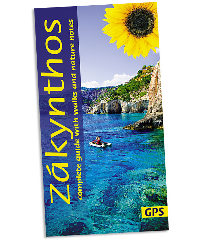
Wandelgids Zakynthos (Zante) | Sunflower books

Wandelgids: vele dagtochten worden degelijk beschreven met openbaar vervoer informatie, goede routebeschrijvingen en kaartmateriaal. Tevens enkele autotochten. Deze gids staat goed bekend! Engelstalig.

This guidebook is an ideal companion for motorists who want to tour Zakynthos by car, as well as those planning a holiday walking in Zakynthos. The book combines the best features of our ‘Landscapes’ walking and car touring guides with all the detail you would expect in a hefty general guide, but it is pocket size and in full colour. Coverage includes getting there and getting about; recommended accommodation and restaurants; practicalities A-Z; history; 22 main walks with many variations, all with both hand-drawn and GPS-compatible maps; copious notes on geology, flora and fauna (all illustrated).

Area covered: There are car tours and walks all over the island. Although the main towns can be reached by bus, to really take advantage of the island and to reach most of the walks you will need to hire a car (to save money, hire through your travel agent when booking your holiday or book in advance on the web). If you would like to explore the island’s back roads or cover some of the walking routes by car, the author advises hiring a four-wheel drive vehicle. (But 4WD vehicles are not necessary for reaching the starting points of the walks).


The best months for walking on Zakynthos are from late September to May; summer is far too hot.

€ 22.95
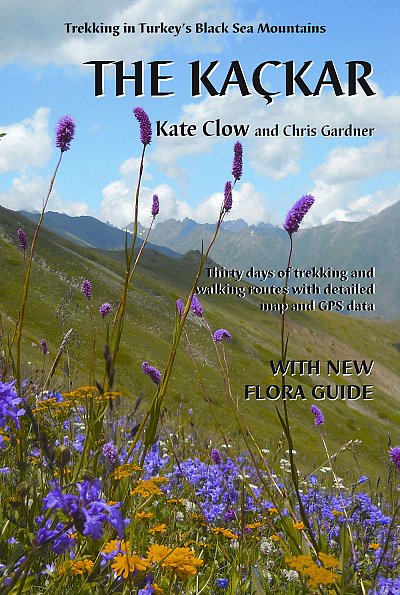
Wandelgids The Kackar - Trekking in Turkey's Black Sea Mountains | Kate Clow

Engelstalige wandelgids met kaart met beschrijvingen van wandelroutes in het Zwarte Zeegebied van Turkije. In deze engelstalige gids worden 32 wandelroutes beschreven van dagdeel wandeltochten tot meerdaagse routes.

The Kaçkar Mountains are part of the Pontic Alps, a glaciated, granite mountain range which hugs the south coast of the Black Sea, extending from the Caucasus towards Istanbul. The mountain range is lushly wooded on the north, with pines succeeded at lower levels by chestnut, hornbeam and beech trees, with tea plantations and hazlenut groves spilling down towards the waves. The contrasting southern slopes are patched by summer pastures where black bulls graze and lakes, springs and streams are plentiful and clear.

This map and guidebook describes 32 trekking routes in Turkey’s Kaçkar mountains, ranging from half-day walks to multi-day treks. You can cross the passes between the granite spires by paved pack-horse routes or walk traditional footpaths between timeless villages and high pastures where hardy locals graze their flocks. The guide also includes comprehensive historical and cultural details of the area and clear colour photographs.

Also includes a 2-sided full colour contour map, 75cm x 48cm. An essential guide for a relatively un-chartered trekking destination.

Meer informatie op Trekking in Turkey