€ 8.95
Wegenkaart - landkaart 216 Skyros | Road Editions

Gedetailleerde wegenkaart met aanduiding van de wandelwegen, lijst van hotels en toeristische informatie. Voor alle doeleinden een zeer geschikte kaart.

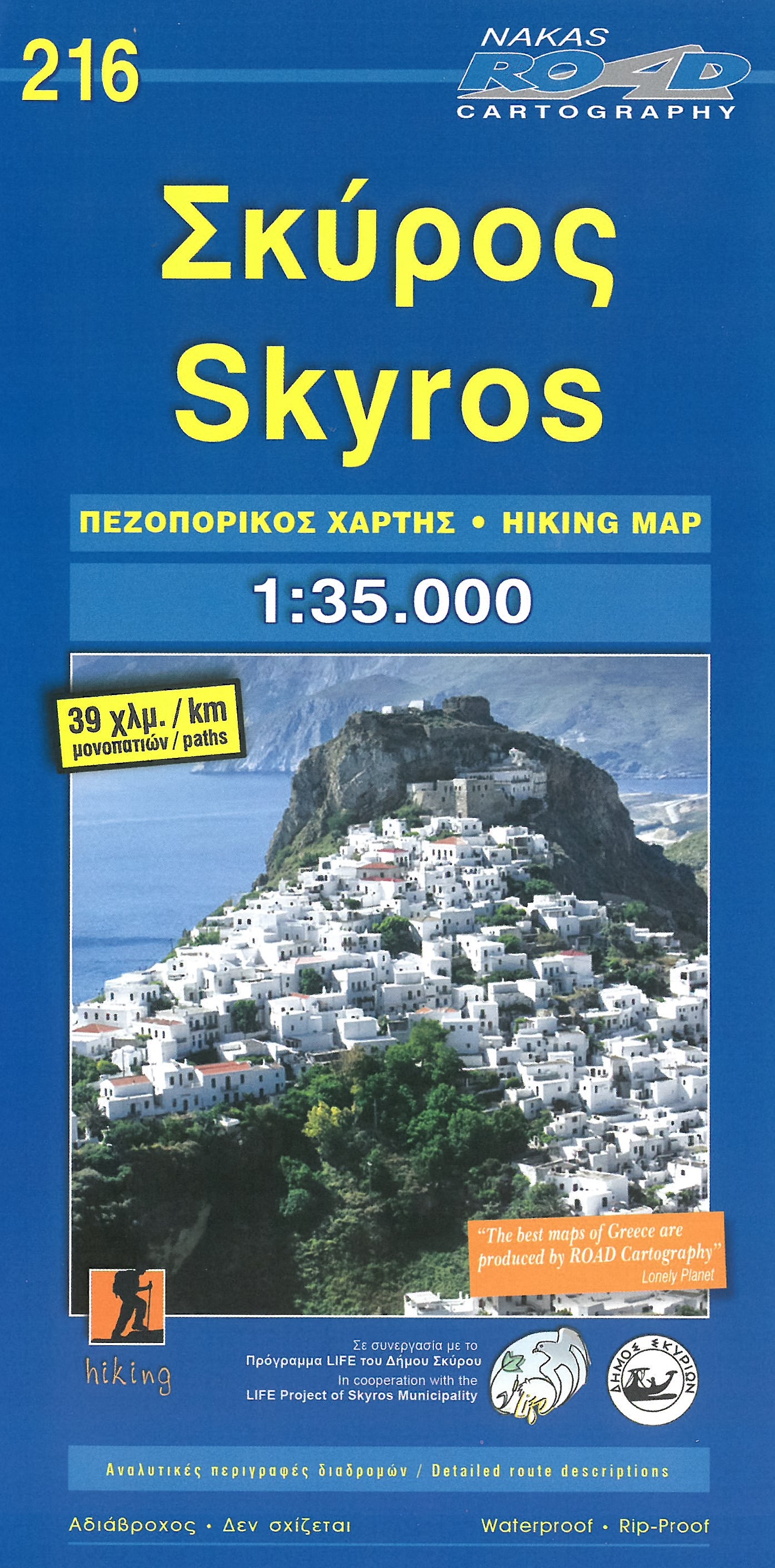
At last, a reliable and accurate map of Skyros island is available to the demanding traveler! Although Skyros(located in the central Aegean Sea, 22 nautical miles east of Evia Prefecture) is not a popular touristic destination, ROAD Editions published this map to contribute to the touristic development of this beautiful greek island. This Skyros island map incorporates the new specifications of ROAD Editions' Greek Islands Map Series: the backside of the map is a mini travel guide in full color, with many images and all the nessesary information on the touristic sights and the individual character of this island. It also includes a complete list of the hotels and rooms to let in the island, many usefull telephone numbers, and a note on the island's history. The map of Skyros presents the complete road network of the island, against a geophysical background of high accuracy (Map Datum ED50)with contour intervals of 20 meters. In cooperation with the local mountaineering club, all major footpaths are clearly marked on the map. With clear symbols, bright colors and easy to read lettersets, you can see all the touristic sights of the island, castles, archaeological sites, beaches, country churches, fountains, gorges, and many more. Skyros island map is available without hard cover, well protected in a rigid plastic folder. This allows the user to fold the map in a pattern other than the preselected, or fold it in a much smaller final size to fit in a pocket etc.

€ 8.95
Wegenkaart - landkaart 105 Tzia - Kea | Road Editions

Gedetailleerde wegenkaart met aanduiding van de wandelwegen, lijst van hotels en toeristische informatie. Voor alle doeleinden een zeer geschikte kaart. Scheur- en watervast!

The features that make this and every other ROAD island map unique are:
*The coastline, hydrography and precision geophysical background based on data provided by the Hellenic Military Geographic Service and electronically processed by us for clarity and legibility. We have highlighted the mountain masses in shades of brown between the contour lines (at 100m intervals on this map) to outline clearly the relief of the island.
*The beaches are indicated by a special symbol next to which we have noted their names, as well as all the roads and footpaths leading to them (since most people primarily visit the islands for the beaches!). We have even included a short text in which the island’s best beaches are concisely referred to, to save you going on a wild goose hunt in search of them.
*The road network is mapped out with impressive and exemplary thoroughness and is updated in each new edition – thoroughness being a trait ROAD is internationally famous for. Even the most insignificant secondary and blind unsurfaced roads are charted (so that you know where not to turn!), the scenic routes are highlighted in green (telling you where you should turn!), with precision distances in kilometres from intersection to intersection, to allow you to track your course with greater ease.
*The island's major footpaths are clearly charted.
*The monasteries, country churches, archaeological sites, lighthouses, caves and many more places of interest, are marked with great accuracy.
*Short texts (in Greek and English) that present the history, the island as it is today, the local products and the most important things to know about the island.
*On the back of the map, there is a complete listing of the accommodations on the island, useful telephone numbers, information about local transport schedules, and more.

€ 8.95
Wegenkaart - landkaart 109 Sifnos | Road Editions

Gedetailleerde wegenkaart met aanduiding van de wandelwegen, lijst van hotels en toeristische informatie. Voor alle doeleinden een zeer geschikte kaart.

The features that make this and every other ROAD island map unique are:
*The coastline, hydrography and precision geophysical background based on data provided by the Hellenic Military Geographic Service and electronically processed by us for clarity and legibility. We have highlighted the mountain masses in shades of brown between the contour lines (at 20m intervals on this map) to outline clearly the relief of the island.
*The beaches are indicated by a special symbol next to which we have noted their names, as well as all the roads and footpaths leading to them (since most people primarily visit the islands for the beaches!). We have even included a short text in which the island’s best beaches are concisely referred to, to save you going on a wild goose hunt in search of them.
*The road network is mapped out with impressive and exemplary thoroughness and is updated in each new edition – thoroughness being a trait ROAD is internationally famous for. Even the most insignificant secondary and blind unsurfaced roads are charted (so that you know where not to turn!), the scenic routes are highlighted in green (telling you where you should turn!), with precision distances in kilometres from intersection to intersection, to allow you to track your course with greater ease.
*The island’s major footpaths are clearly charted.
*The monasteries, country churches, archaeological sites, lighthouses, caves and many more places of interest, are marked with great accuracy.
*Short texts (in Greek and English) that present the history, the island as it is today, the local products and the most important things to know about the island.
*On the back of the map, which is also in colour, there is a complete listing of the accommodations on the island, useful telephone numbers, information about local transport schedules etc., as well as a short tour of the island and many photographs of characteristic Sifnos landscapes.

€ 8.25
Wegenkaart - landkaart 106 Kythnos | Road Editions

Gedetailleerde wegenkaart met aanduiding van de wandelwegen, lijst van hotels en toeristische informatie. Voor alle doeleinden een zeer geschikte kaart.
It was published in 2003, based on data of that same year. The geophysical background was provided by the Hellenic Military Geographic Service and there are contour lines at 20m intervals as well as a full hydrography (all ravines and dry torrents are visible). As in all ROAD maps, all beaches are illustrated in blue with their names, as are all location names of villages and settlements and of course the precise distances in kilometers from intersection to intersection.

This map introduces an innovation in that the locations of the early Cycladic (or protocycladic) metal smelting centres are indicated by a special symbol (the locals call these locations 'skouries' or 'rust marks') and it is especially worthwhile to see them.

On the back of the map, there are photographs of characteristic Kythnos landscapes, historical data and information for tourists and a listing of the accommodations available on the island.

€ 8.25
Wegenkaart - landkaart 104 Syros | Road Editions

Gedetailleerde wegenkaart met aanduiding van de wandelwegen, lijst van hotels en toeristische informatie. Voor alle doeleinden een zeer geschikte kaart.

It contains a large, very detailed map of Ermoupolis, thorough updating of the road network, place-names, beaches, country churches, tourist attractions and historical data, list of hotets and a great deal of new, practical information.


€ 8.25
Wegenkaart - landkaart 107 Serifos | Road Editions

Gedetailleerde wegenkaart met aanduiding van de wandelwegen, lijst van hotels en toeristische informatie. Voor alle doeleinden een zeer geschikte kaart.

The features that make this and every other ROAD island map unique are:
*The coastline, hydrography and precision geophysical background based on data provided by the Hellenic Military Geographic Service and electronically processed by us for clarity and legibility. We have highlighted the mountain masses in shades of brown between the contour lines (at 20m intervals on this map) to outline clearly the relief of the island.
*The beaches are indicated by a special symbol next to which we have noted their names, as well as all the roads and footpaths leading to them (since most people primarily visit the islands for the beaches!). We have even included a short text in which the island’s best beaches are concisely referred to, to save you going on a wild goose hunt in search of them.
*The road network is mapped out with impressive and exemplary thoroughness and is updated in each new edition – thoroughness being a trait ROAD is internationally famous for. Even the most insignificant secondary and blind unsurfaced roads are charted (so that you know where not to turn!), with scenic routes specially highlighted in green (telling you where you should turn!) and precision distance measurements from intersection to intersection, to allow you to track your course with greater ease.
*The island’s major footpaths are clearly charted.
*The monasteries, country churches, archaeological sites, lighthouses, caves and many more places of interest, are marked with great accuracy.
*Short texts (in Greek and English) that present the history, the island as it is today, the local products and the most important things to know about the island.
*On the back of the map, which is also in colour, there is a complete listing of the accommodations on the island, useful telephone numbers, information about local transport schedules etc., as well as a short tour of the island and many photographs of characteristic Serifos landscapes.
The map also includes the island of Serifopoula and the neighbouring, deserted islands.

€ 19.95
Wandelkaart India - Ladakh Zanskar - Zuid | Editions Olizane

Goede wandelkaart van het Noordelijke deel van Ladakh Zanskar (Upper Zanskar - Darsha Tsomorir). De wandelkaart is geschikt voor GPS.

Southern Ladakh and Zanskar: Upper Zanskar - Rupshu area in a series of excellent topographic trekking maps from the Geneva based Editions Olizane on light, waterproof and tear-resistant plastic paper. Each map is double-sided, covering a large area of 90km x 240km. The maps have exceptionally clear cartography with contours at 100m intervals, enhanced by relief shading, additional spot heights for peaks and passes, plus colouring indicating glaciers, marshes, protected zones and forested or cultivated areas. Population centres are graded into towns, villages, hamlets and settlements and names of local regions are shown.

Roads, tracks and numerous trails are clearly highlighted and symbols indicate various places of interest: forts, palaces and ruins: religious sites; old trade routes; caves and hot springs; checkpoints and military posts, etc.

The maps have a UTM grid and latitude/longitude margin ticks at intervals of 9’. Map legend in English and French. Also provided is a glossary of geographical and cultural local terms.


€ 8.25
Wegenkaart - landkaart 118 Spetses | Road Editions

Gedetailleerde wegenkaart met aanduiding van de wandelwegen, lijst van hotels en toeristische informatie. Voor alle doeleinden een zeer geschikte kaart. On a scale of 1:25,000 with contour lines at 20m intervals and including a detailed map of the city, this map is the first precision map of Spetses.

€ 17.95
Wegenkaart - landkaart Er Rachidia & Central Ziz Valley - (Marokko) | EWP

Deze kaart maakt deel uit van meerdere gedetailleerde topografische kaarten van het Atlas Gebergte en de daaraan grenzende woestijnen. Elke kaart heeft lokale toeristische info op de achterzijde en is in het Frans en Engels beschreven


Hoogte in hoogtelijnen met 40m interval en een aantal punten. Verdere vermelding van terreinsoort, vegetatie, waterpunten, kliffen, duinen, ravijnen, zoutpannen etc. Bij wegen onderscheid in onverhard, verhard en tracks. Bebouwing, vliegvelden, stations, elektrische leidingen. Voor sommige passen is er een indicatie wanneer deze begaanbaar is.


De uitgever EWP meldt dat deze kaarten geschikt zijn voor het gebruik van GPS: "The main grid drawn over the mapping is based on the Kronstadt system which related closely to the UTM system, and which the publishers assure us is suitable for a GPS set to UTM or MGRS".

€ 17.95
Wegenkaart - landkaart Tafilalt, Merzouga & Erg Chebbi - (Marokko) | EWP

Deze kaart maakt deel uit van meerdere gedetailleerde topografische kaarten van het Atlas Gebergte en de daaraan grenzende woestijnen. Elke kaart heeft lokale toeristische info op de achterzijde en is in het Frans en Engels beschreven


Hoogte in hoogtelijnen met 40m interval en een aantal punten. Verdere vermelding van terreinsoort, vegetatie, waterpunten, kliffen, duinen, ravijnen, zoutpannen etc. Bij wegen onderscheid in onverhard, verhard en tracks. Bebouwing, vliegvelden, stations, elektrische leidingen. Voor sommige passen is er een indicatie wanneer deze begaanbaar is.


De uitgever EWP meldt dat deze kaarten geschikt zijn voor het gebruik van GPS: "The main grid drawn over the mapping is based on the Kronstadt system which related closely to the UTM system, and which the publishers assure us is suitable for a GPS set to UTM or MGRS".

€ 8.25
Wegenkaart - landkaart 113 Ios | Road Editions

Gedetailleerde wegenkaart met aanduiding van de wandelwegen, lijst van hotels en toeristische informatie. Voor alle doeleinden een zeer geschikte kaart.
ROAD Editions conducted the original cartographic fieldwork to create the first map of Ios island presenting the complete road network, with accurate distances in km, and scenic routes marked in green, against a geophysical background with contour intervals of 20m. We have chosen the scale of 1:40.000, in order to present more clearly this cartographic information. On the back side of the map there is a complete list of hotels, rooms to let and camping sites of the island.

€ 10.95
Wandelkaart 10.27 Amorgos | Anavasi

Zeer goede wandelkaart van Amorgos. Topografische details zijn goed uitgewerkt, zeer leesbare kaart met ook nog eens alle toeristisch interessante punten.

Amorgos Hiking map in scale 1:32.000 is updated with all new footpaths, roads, toponyms and even the diving center. Amorgos Trail Challenge, the new mountain running race, is also recorded. Amorgos island is the easternmost island of the Cyclades. Amorgos map shows all the beaches of the island. The Hozoviotissa monastery just below the Amorgos Chora symbolizes man s tribute to the Holy Mother. Built into the face of a cliff, it provides a breathtaking view of the sparkling blue waters of the Aegean Sea. The new edition is printed on synthetic paper (waterproof and rip-proof) is even more lightweight and very easy to carry.