€ 19.90
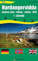
Wandelkaart - Wegenkaart - landkaart Hardangervidda | Projekt Nord

Een éénzijdige overzichtskaart van de hele Hardangervidda met alle doorgaande wandelpadne en berghutten duidelijk vermeld. Ondanks de grove schaal is deze kaart toch goed te gebruiken voor deze tochten.

Topaktuelle detaillierte topographische touristische Landkarte der Hardangervidda in Norwegen (touristische topographische Landkarte). Mit umfangreichen touristischen Informationen. Die Karte ist äußerst detailliert, enthält Fußwege, markierte Wanderwege, markierte Winterrouten, Fußgängerbrücken sowie reichhaltige Informationen zu Hütten, Übernachtungsmöglichkeiten etc.


€ 11.95
Wandelkaart Kreta west | Harms IC Verlag

Gedetailleerde kaarten van Kreta op wandelschaal nivo zijn nauwelijks te krijgen. Daarom zijn deze 1:100.000 kaarten van Kreta oost en west prima te gebruiken voor de langere wandeltochten. Als u eenvoudige dagtochten wilt lopen, neem dan een wandelgidsje mee met routesuggesties. Dit soort eilanden zijn niet altijd eenvoudig te belopen, door de vele ezel- en geitenpaadjes.

Zweiteilige Kreta-Kartenreihe. Die Karten enthalten zahlreiche touristische Eintragungen und Wandervorschläge, sowie die komplette Route des Europäischen Fernwanderweges E4. Desweiteren enthalten sind Stadt- und Lagepläne. Jede Karte zeigt auf der Vorder- und Rückseite mehr als die halbe Insel.

Two double-sided maps, with contours at 50m intervals, altitude tints and relief shading presenting the island's mountainous terrain. Road network includes unpaved roads and shows intermediate distances on many routes. Sea ferry links and local airports are marked. An overprint shows the E4 long-distance route and several local hiking paths. Tourist information includes scenic roads, archaeological sites, campsites, youth hostels, mountain refuges, museums, bathing beaches, viewpoints, etc.

Latitude and longitude lines are drawn at 10' intervals, with margin ticks at 1'. Map legend includes English. Each map has small street plans of main towns on the island, highlighting places of interest. Map legend includes English.


€ 17.95
Wandelkaart 901 Banff North National Park | National Geographic

Prachtige geplastificeerde kaart van het bekende nationaal park. Met alle recreatieve voorzieningen als campsites, maar ook met topografische details en wandelroutes ed. Door uitgekiend kleurgebruik zeer prettig in gebruik. Scheur en watervast!

The front side of the Banff North map details the south side of the national park, from Siffleur Wilderness Area to the north, to Kootenay National Park to the south. This side also covers survival tips, area trails, entry fees and details both Kootenay and Yoho Nationals Parks. The reverse side of the map details the north side of the park, extending from Siffleur Wilderness area to the south, to White Goat Wilderness to the North. Insets show safe travel in Bear Country, and all the recreation the park has to offer with backpacking, camping, biking, hiking and horseback riding. 

National Geographic's Trails Illustrated map of Banff North is a two-sided, waterproof map designed to meet the needs of outdoor enthusiasts with unmatched durability and detail. This map was created in conjunction with local land management agencies and is loaded with valuable recreation information. Trails Illustrated maps are expertly researched and frequently updated. The maps are printed in the United States on durable synthetic paper, making them waterproof, tear-resistant, and trail tough — capable of going anywhere you do. The map is two-sided, and can be folded to a packable size of 4.25” x 9.25”; unfolded size is 26” x 38”. Net proceeds from the sale of this map go to support the nonprofit mission of the National Geographic Society. Key Features: - Waterproof and tear-resistant - Clearly marked trails for hiking, biking, horseback riding, and more - Detailed topography and clearly defined, color-coded boundaries of state parks, national recreation areas, wilderness areas, marine sanctuaries and wildlife refuges - Hundreds of points-of-interest, including scenic viewpoints, campgrounds, boat launches and canoe carry downs, swimming areas, fishing access points, and more - UTM and Latitude/Longitude grid, as well as selected waypoints and a scale bar for easy and accurate navigation. - Detailed road network - Useful travel information on parks and key trails - Important safety information and tips - Information about local organizations and land management agencies

€ 11.95
Wandelkaart 345 Karpathos - Kasos | Terrain maps

Gedetailleerde wegenkaart en wandelkaart met alle kleine wegen, wandelpaden, hoogtelijnen en toeristische informatie aangegeven. Alle tekst is tweetalig in Engels en Grieks en de waterproof kaart is geschikt voor gebruik met GPS.

This is a great map because:

• It is the first GIS map of the island, meaning that this is the first time Karpathos and Kasos are mapped with a topographic precision in proportion to the map scale.

• It is waterproof and rip-proof. You can fold and unfold it a thousand times, fold it in irregular ways, dunk it in the sea or leave it out in the rain. This map is indestructible!

• It features the most complete road network. No matter which corner of the island on the SKAI map of Karpathos you compare with any other map on the market, you will see that it features many more roads –most importantly, they are depicted with accuracy.

• It features the trails of Karpathos and Kasos for the first time, with total precision since the cartographers of TERRAIN walked them one-by-one. The length of all trails is measured in kilometers, allowing you to estimate the duration of your hike, plus detailed descriptions of the 6 most important trails of Karpathos and Kasos are featured on the back.

• It features biking routes through the prettiest remote dirt roads on the west coast, for mountain bike fans.

€ 8.95
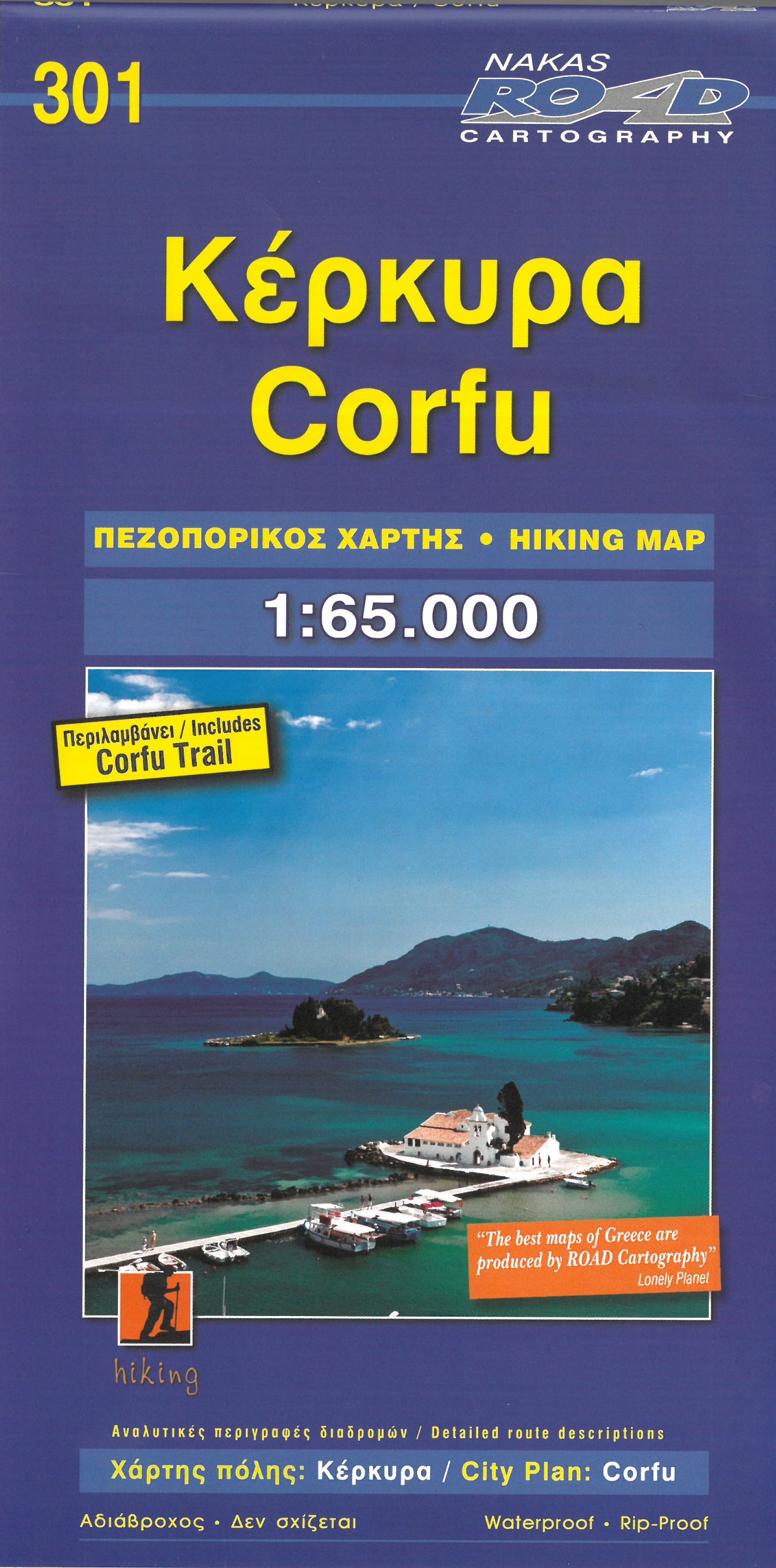
Wandelkaart 301 Corfu - Korfoe | Road Editions

This Road Cartography map, was created upon intensive fieldwork and using G.I.S. ( Geographical Information Systems), ensuring high accuracy. Contains every single road, trails, special routes for cycling and scenic routes, villages, attractions and plenty of other useful information

€ 8.95
Wandelkaart 305 Zakynthos | Road Editions

Gedetailleerde wegenkaart met aanduiding van de wandelwegen, lijst van hotels en toeristische informatie. Voor alle soorten vakanties, ook als wandel- en fietskaart goed te gebruiken.

This Road Cartography map, was created upon intensive fieldwork and using G.I.S. ( Geographical Information Systems), ensuring high accuracy. Contains every single road, trails, special routes for cycling and scenic routes, villages, attractions and plenty of other useful information

€ 10.95
Wandelkaart - Wegenkaart - landkaart 10.24 Santorini | Anavasi

As you enter the caldera of Santorini by ferry sheer cliffs rise up dramatically, exposing richly coloured rock strata, crowned by the colored houses of the cliff-top settlements. Equally magnificent is the sunset from the heights of the caldera towards the sea and the remnants of prehistoric rounded island Strogyli, Thirasia, the New and Old Kameni. However, there is more than the visual excitement to discover and if you don’t take the time to walk the island you will have learnt little of Santorini.


The new Anavasi map will take hiking in every corner, beach and hill top of Santorini and Thirassia to discover landscapes with visible signs of the traditional rural culture, with orchards stonewalls, threshing floors, huts, chapels, inland villages with a well preserved medieval core (called Castelo), routes with wonderful vistas, lost beaches quiet even in the heart of summer.


On the reverse side of the map, there is a brief description of the 25 proposed hiking routes and a short guide of the two islands, Santorini and Thirassia

€ 14.95
Wandelkaart - Wegenkaart - landkaart Tenerife | Freytag & Berndt

Goede wandelkaart van Tenerife, gedetailleerde toeristenkaart met veel extra informatie zoals groene wegen en mooiste wandelgebieden aangegeven, uitgebreide legenda en plaatsnamenregister

Neben der übersichtlichen Gestaltung verfügt die Straßenkarte Teneriffa 1:50.000 über zahlreiche Zusatzinformationen wie z.B. Straßenbeschaffenheit, Sehenswürdigkeiten, Campingplätze und diverse Innenstadtpläne. Mit dem umfangreichen Ortsregister gelingt zudem eine rasche Orientierung.

Ortsregister mit Postleitzahlen GPS; Citypläne von Los Cristianos, Playa de las Américas, Puerto de la Cruz und Santa Cruz de Tenerife;