€ 13.95
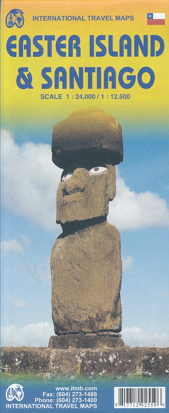
Wegenkaart - landkaart Easter Island - Paaseiland en Santiago | ITMB

Easter Island is so isolated that it is not certain whether it is part of Polynesia or an off-shoot of South America. Geologically, it is neither; just a volcanic lump in the vast expanse of the Pacific Ocean. Its original inhabitants probably came from Polynesia; since supplanted by migrants from Chile, which is the political authority governing the island. Regardless, it is an intriguing place, famous for the Maoi - giant heads originally raised to protect family holdings. These huge, mysterious heads rest in various locations on the island and are one of the wonders of the world. This map also includes a detailed map of Santiago de Chile, the capital of Chile, for the simple reason that all flights to Easter Island originate in that city, so everyone going to Easter Island needs a map of Santiago as well. This usage is merely for the convenience of visitors going to Easter Island. ITMB publishes a separate map of Santiago and Central Chile and we intend to continue to do so.


Legend Includes:

Roads by classification, Rivers and Lakes, National Park, Airports, Points of Interests, Mining, Highways, Main Roads, Zoos, Fishing, , and much more...

€ 11.95
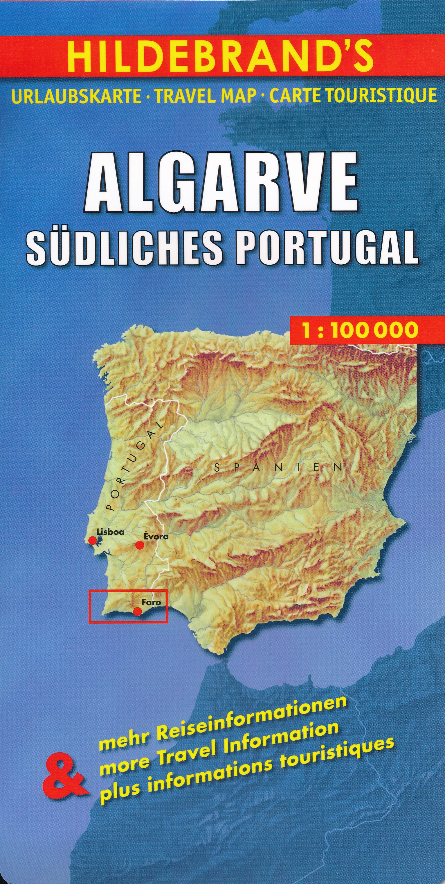
Wegenkaart - landkaart Algarve | Hildebrand's

Goede overzichtskaart van de Algarve op redelijke schaal. Voor de auto prima te gebruiken.

Digitale Neuerstellung, Stand November 2018


Maßstab 1:100.000

Verzeichnis der Orte und Sehenswürdigkeiten

Entfernungstabelle

Übersichtskarte Südliches Portugal 1:850 000.

Stadtpläne mit Straßenverzeichnis: Faro, Albufeira, Portimão, Lagos.

Mit Kurzreiseführer zu den beliebtesten Sehenswürdigkeiten und praktischen Reisetipps.

Deutsch / Englisch / Französisch.

Papiermaß: 1387 x 490 mm

€ 13.95
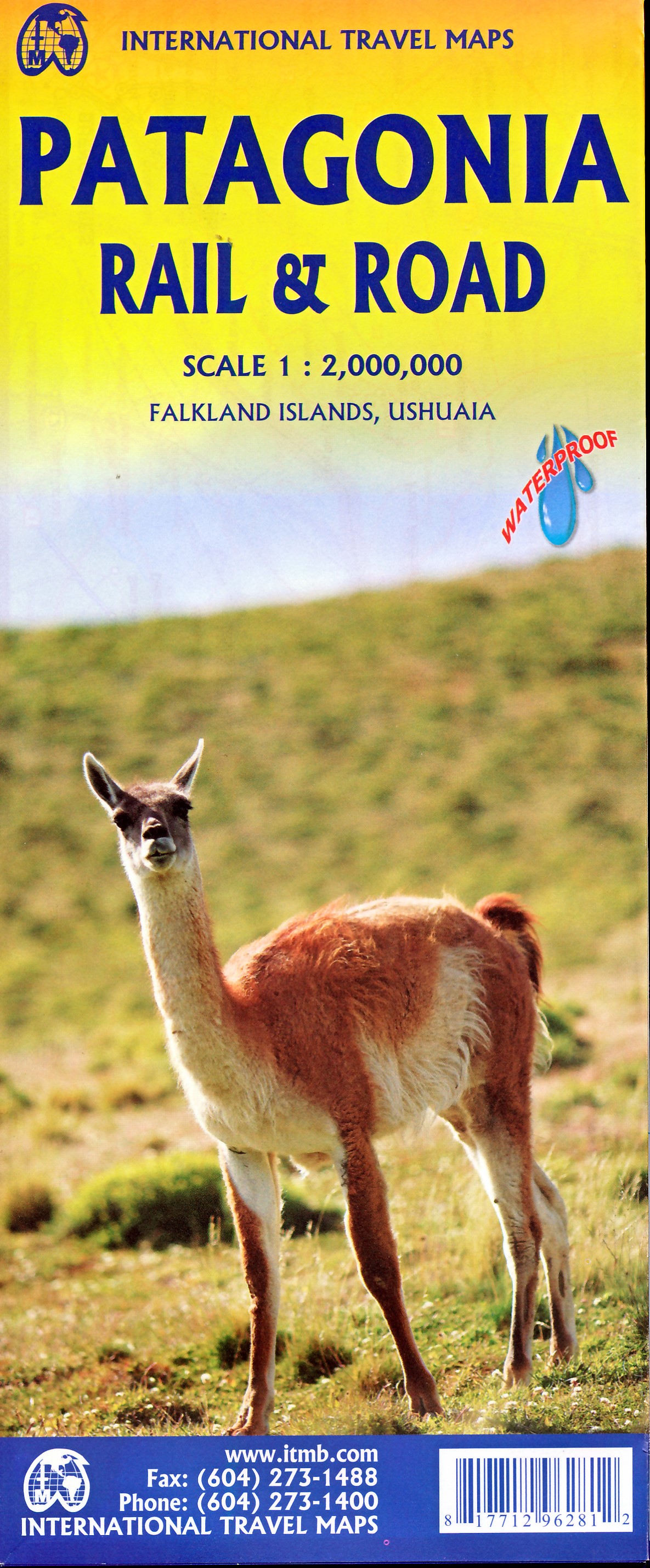
Wegenkaart - landkaart Patagonia - Falklands - Ushuaia - Patagonië | ITMB

Een degelijke kaart met aanduidingen van o.a. nationale parken, vliegveld, benzinepomp, dirt-roads en kleine plattegrond van hoofdstad. Als overzichtskaart goed te gebruiken.

Indexed, double-sided map, combining the whole of southern Argentina and Chile with more detailed mapping of the southern tip of the continent, Tierra del Fuego and the surrounding islands. Coverage of Patagonia and the adjoining part of Chile extends southwards from Bahía Blanca and the road connecting it with the Andes and Temuco.


€ 13.95
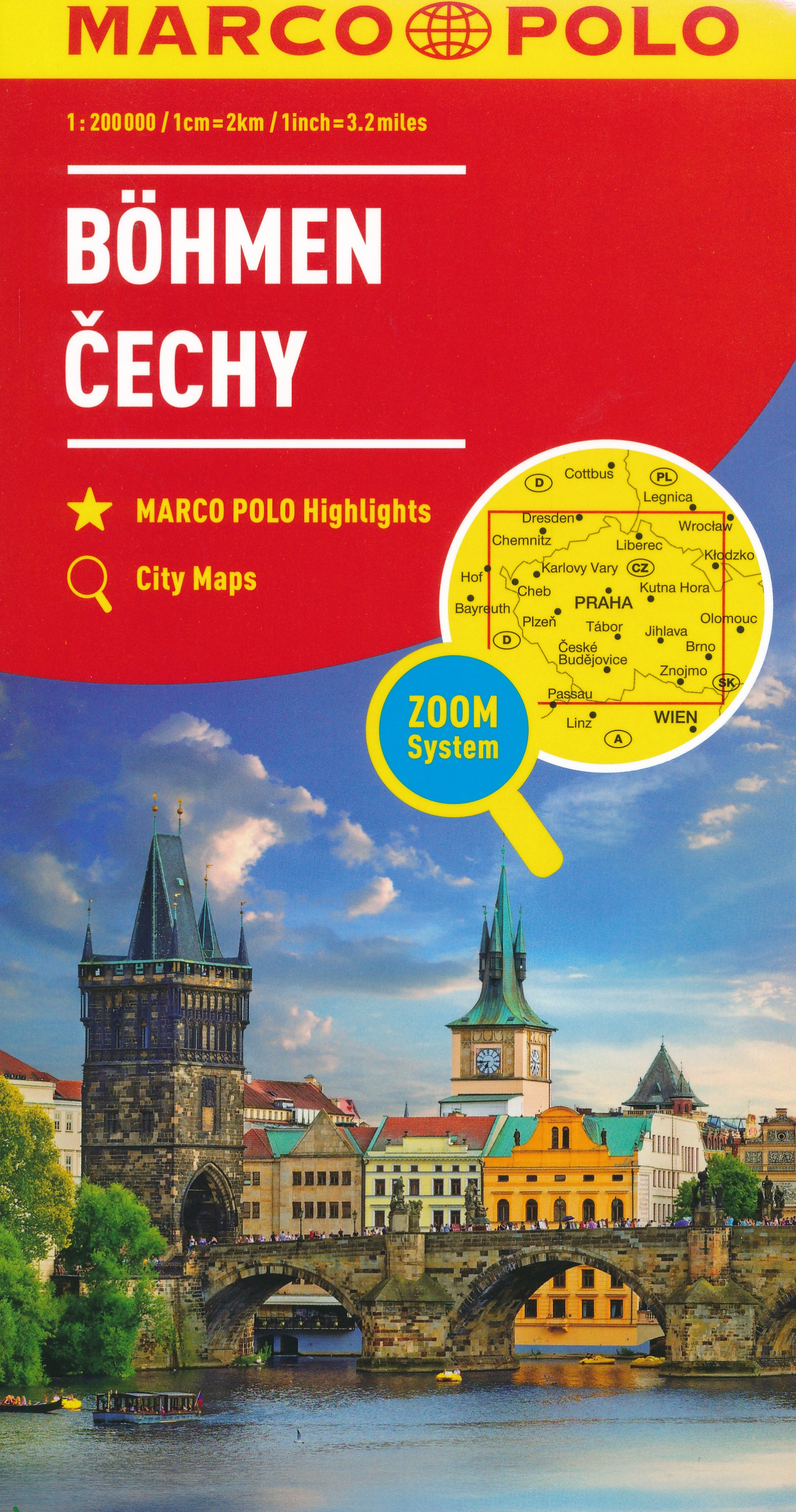
Wegenkaart - landkaart Bohemen - Tsjechië | Marco Polo

Uitstekende deelkaart van Tsjechie. Met informatie als benzinepompen, kilometerafstanden, toeristische symbolen. Met index en enkele stadsplattegronden.

Hauptkarte im Maßstab 1:200 000, beidseitig bedruckt/ Übersichtskarte zum Ausklappen/ Entfernungstabelle/ Index: mehrsprachige Legende (CZ, D, GB, F, I, E, SK, PL)/ Marco Polo Highlights/ 5 Citypläne: - Ceské Budejovice - Cheb - Karlovy Vary - Plzen - Praha/ Verkehrsinformationen/ Reiseinformationen/ Blattübersicht mit Verwaltungseinheiten/ Ortsregister mit Bezirk, Postleitzahl und Suchfeldangabe


"Mit landschaftlich schönen Strecken und Sehenswürdigkeiten, Erdgas-Tankstellen, Citypläne, mehrsprachige Legende, Übersichtskarte zum Ausklappen, Verkehrsinfos, Reiseinformationen, UNESCO Welterbestätten, Entfernungstabelle, Ortsregister"


€ 10.99
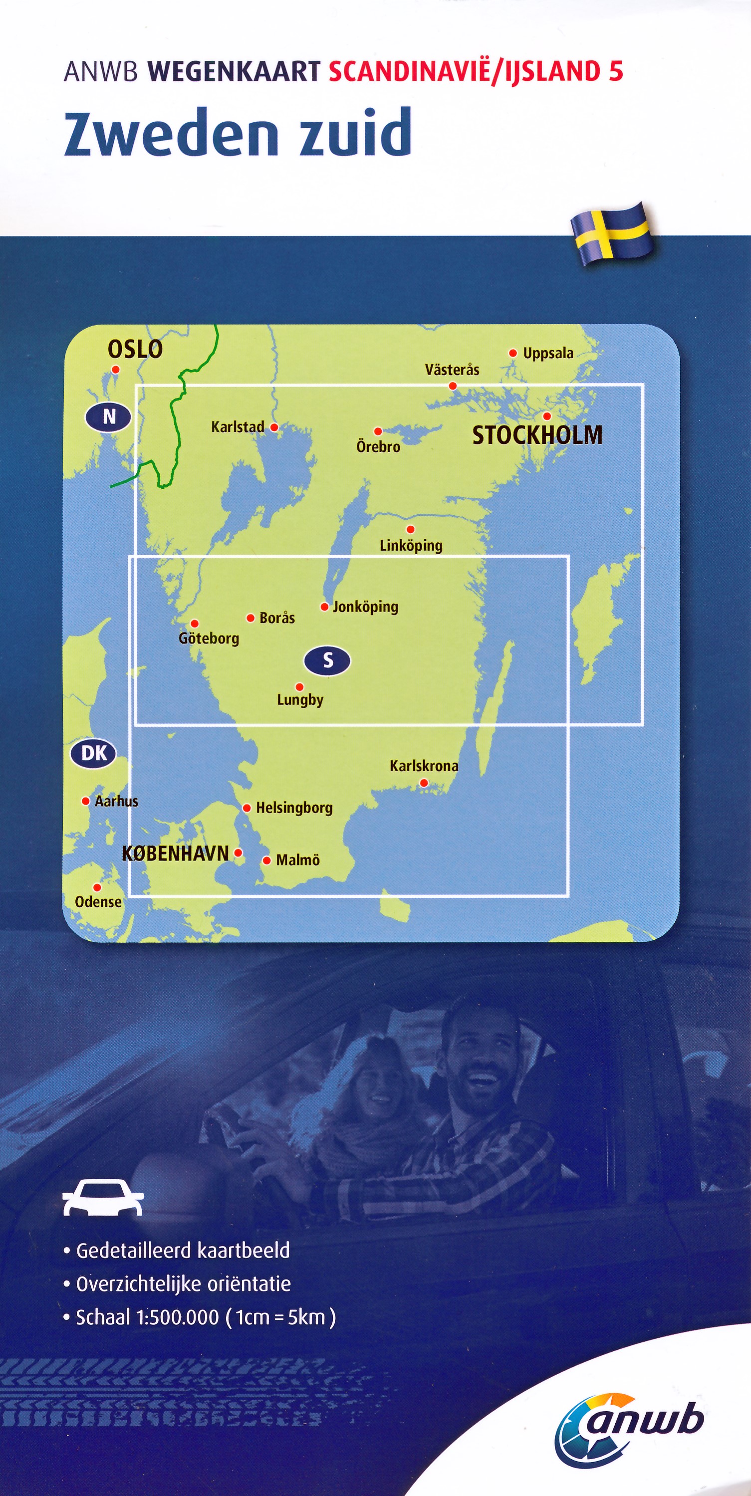
Wegenkaart - landkaart 5 Zweden Zuid | ANWB Media

De ANWB heeft een grote serie wegenkaarten van de belangrijkste landen en streken. Het zijn echte overzichtskaarten van vaak een wat groter gebied. Deze keuze zorgt er voor dat de schaal vrij grof is en bepaalde details zijn weggelaten. De kleurstelling is een beetje flets waardoor je niet altijd even makkelijk onderscheid kan maken tussen verschillende landschappen of natuurlijke aspecten. 

Ook het register ontbreekt. Het grote voordeel is vaak dat het gebied op de kaart overeenkomt met de vraag van klanten. Voor het plannen van een vakantie een prima kaart!


Vergelijken met andere uitgevers van kaarten als Michelin, Freytag und Berndt of Reise KnowHow heeft de ANWB duidelijke keuzes gemaakt en gekozen voor een echte overzichtskaart. 

€ 13.95
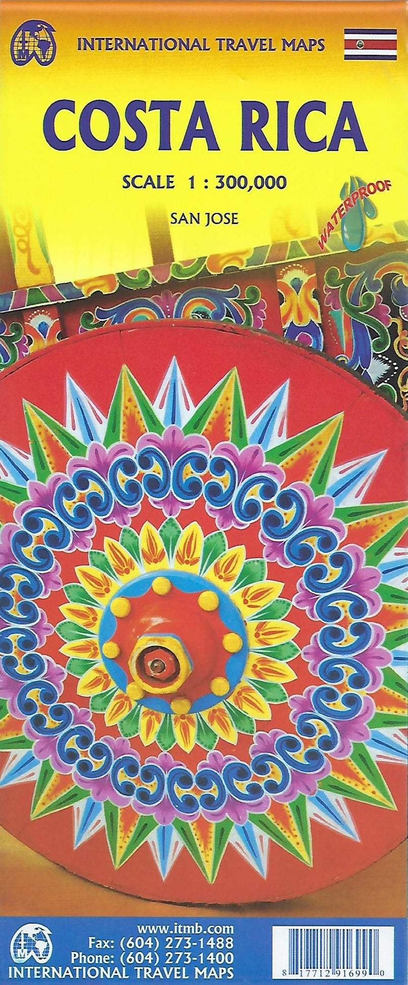
Wegenkaart - landkaart Costa Rica | ITMB

Een degelijke kaart met aanduidingen van o.a. nationale parken, vliegveld, benzinepomp, dirt-roads en kleine plattegrond van hoofdstad. As overzichtskaart goed te gebruiken.

Folded double-sided road map * Printed on waterproof paper * Scale 1:300 000 * Inset maps: Central San Jose City, Environs of San Jose * List of Costa Rica's Top Attractions * Legend includes: Highways, roads, railways, lakes, rivers, national parks, hotels, gas stations, museums, beaches, waterfalls and more.