
Wegenkaart - landkaart 4 Macedonia | Anavasi
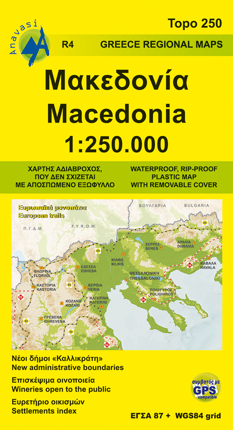
Gedetailleerde tweetalige (Grieks/Engels) topografische wegenkaart van Griekse Macedonië met hoogtelijnen, relief, gedetailleerd wegennet met wegnummers, campings en hutten. Met ingetekende Europese en nationale lange afstandswandelpaden.
Anavasi Regional Maps series (Topo250), covering half of the mainland from Konitsa to Katerini in the north and from Messolongi to Thiva in the south. The map comprises all the new highways, the protected areas and Natura sites, the european and national long distance trails and a 84 pages index of settlements, mountains and mountain refuges.
Double-sided roadmap and place name index, GPS compatible regional road maps printed on waterproof and tear-resistant plastic paper
€ 11,95
Verzendkosten: € 2,95Specificaties
Merk:
n.b.
EAN:
Je bestelt bij:
De Zwerver
Categorie:
Subcategorie:
Maat:
n.v.t.
Materiaal:
n.v.t.
Levertijd:
Aantal beschikbaar:
n.b.
Verkoopprijs
€ 11,95
Prijzen vanaf:
n.v.t.
Verzendkosten:
€ 2,95
ISBN:
9789609412100
Editie:
01-01-2020
Uitgever:
Anavasi
Beschrijft het volgende gebied:
Europa - Griekenland - Vasteland Griekenland
Taal:
Engels
Direct bestellen: