
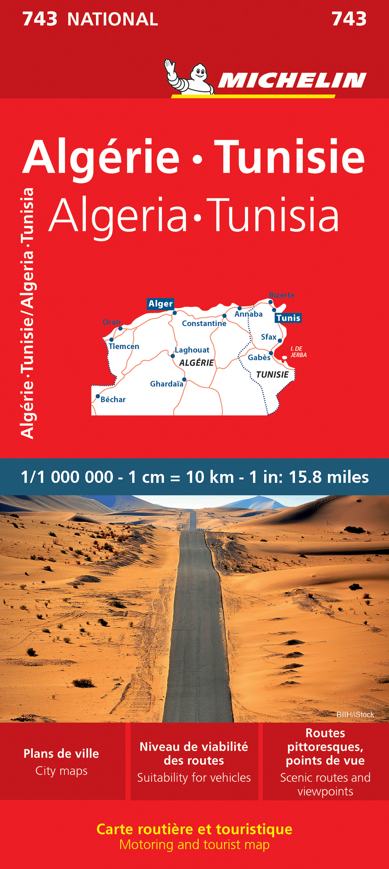
Wegenkaart - landkaart 743 Algerije - Tunesië | Michelin
Kaart van beroemde kaartenmakers en voor Algerije en Tunesie weer een hele goede. Uitermate goed leesbaar, prettig kleurgebruik.
Zoals je van Michelin mag verwachten is deze kaart zeer overzichtelijk en heeft een duidelijk helder kaartbeeld. De kaart geeft uitgebreid toeristische informatie weer. Met register, afstanden en reistijden.
Wegen worden naar verschillende klasse ingedeeld en - mooi van Michelin - de interessante mooie routes worden gemarkeerd met een groene streep.
Hindernissen voor automobilisten met caravans zijn gemarkeerd: steile hellingen, bergpassen of een anderzins moeilijke route. Bezienswaardigheden als een kasteel, religieus gebouw, ruine of grot is door een symbool goed te vinden.
The Michelin National road map of Algeria & Tunisia at 1:1,000,000 scale is ideal for trip & route planning. The map gives comprehensive coverage of national road networks showing all major motorways, dual carriageways, national & regional main roads and some local roads. Also shows unsurfaced roads & tracks and major footpaths. Road obstacles & dangers including steep slopes, seasonally impassable routes, height restrictions, one-way roads, tolls, narrow bridges & high passes are indicated.
Clear, easy-to read cartography shows roads in reds, yellows and white with black outlines. Major topography is indicated with relief shading. Woodland & forest is marked with green shading, desert in yellow & some indication of salt flats & marshland. Towns and cities are marked with symbols only on the main map, but regional enlargements (see below) show built-up urban areas in salmon pink highlighting. Airports, ferries, railways, bridges & level crossings are also marked. National and administrative divisions are shown, as are administrative seats & state capitals.
Plenty of detailed tourist information is given: Accommodation & practical facilities (hotels, resorts, fuel & repair services where attached to a hotel), sport & leisure facilities (e.g. golf courses, winder sports & spas) and sights. Sights include kasbahs, rural markets, areas of outstanding tourist interest, scenic driving routes, viewpoints & panoramas, forts, ruins and other historical locations. Includes markings for other features including palm groves, national parks, pipelines & natural resource extraction.
Town plans & regional enlargements:
- Oran & surrounding area at 1:300,000
- Algiers & Kabylie region to Béjaïa at 1:300,000
- Tunis & surrounding area at 1:500,000
- Tlemcen & surrounding area at 1:500,000
- Plan of central Tunis at 1:35,000
- Algiers & metropolitan area at 1:50,000
Alger, Algérie, Annaba, Béchar, Bizerte, Constantine, Gabès, Ghardaïa, Laghaouat, Oran, Sfax, Tlemcen, Tunis, Tunisie
€ 12,95
Verzendkosten: € 2,95Specificaties
Merk:
n.b.
EAN:
Je bestelt bij:
De Zwerver
Categorie:
Subcategorie:
Maat:
n.v.t.
Materiaal:
n.v.t.
Levertijd:
Aantal beschikbaar:
n.b.
Verkoopprijs
€ 12,95
Prijzen vanaf:
n.v.t.
Verzendkosten:
€ 2,95
ISBN:
9782067259829
Editie:
22-10-2022
Uitgever:
Michelin
Beschrijft het volgende gebied:
Afrika - Algerije -
Taal:
Engels - Frans
Direct bestellen: