Wegenkaart - landkaart Angola | ITMB
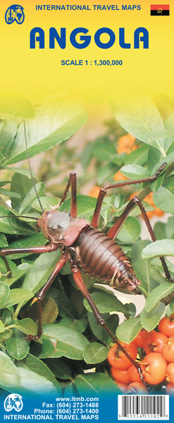
Goede overzichtskaart van Angola met een helder kleurgebruik.
Angola is a fascinating mixture of ethnicity and wealth. It is still climbing out of the morass of post-colonial rule, but is now as safe as any country for travellers. Its infrastructure, particularly its roads, are of uneven quality, and we hope that this map will stimulate visitors to write us of their experiences with travelling through this vast country. We have tried to include as much detail as possible, and as accurately as possible, given the uncertain nature of much of the base material. The map includes a decent inset of Luanda , the capital, and all areas designated as parkland. This is the latest ITM map related to Africa and completes our coverage of Central and Southern Africa. East Africa and North East Africa have also been completed, and we are now working on Equatorial Africa. This map is double-sided (north half/south half).
Legend Includes:
Roads by classification, ferry route, ruins, camping sites, accommodation, gas stations, mines, national parks, natural reserves, tourist information, points of interest and other information.
€ 13,95
Verzendkosten: € 2,95Nu bestellen bij De Zwerver

