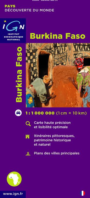
Wegenkaart - landkaart Burkina Faso | IGN - Institut Géographique National
Goede overzichtskaart van het Franse Cartografisch Instituut. Met autoroutes en stadsplattegronden van de belangrijkste steden.
General map of the country with relief shading, showing a large number of small villages and settlements. Roads are classified according to their usability in wet conditions. Towns with accommodation are marked, as are fuelling stations. Nature reserves and rivers, both permanent and intermittent, are also shown. Latitude and logitude at intervals of 1 degree are marked in the margins and indicated by ticks on the map itself.
Four insets show simple street plans of Ouagadougou and Bobo-Dioulasso, administrative divisions of the country, and the distribution of its ethnic groups. The legend is in French only.
€ 11,75
Verzendkosten: € 2,95Nu bestellen bij De Zwerver
Specificaties
Merk:
n.b.
EAN:
Je bestelt bij:
De Zwerver
Categorie:
Subcategorie:
Maat:
n.v.t.
Materiaal:
n.v.t.
Levertijd:
Aantal beschikbaar:
n.b.
Verkoopprijs
€ 11,75
Prijzen vanaf:
n.v.t.
Verzendkosten:
€ 2,95
ISBN:
3282118502011
Editie:
None
Uitgever:
IGN - Institut Géographique National
Beschrijft het volgende gebied:
Afrika - Burkina Faso -
Taal:
Frans
Direct bestellen:

