Een degelijke kaart met aanduidingen van o.a. nationale parken, vliegveld, benzinepomp, dirt-roads en kleine plattegrond van hoofdstad. Als overzichtskaart goed te gebruiken.
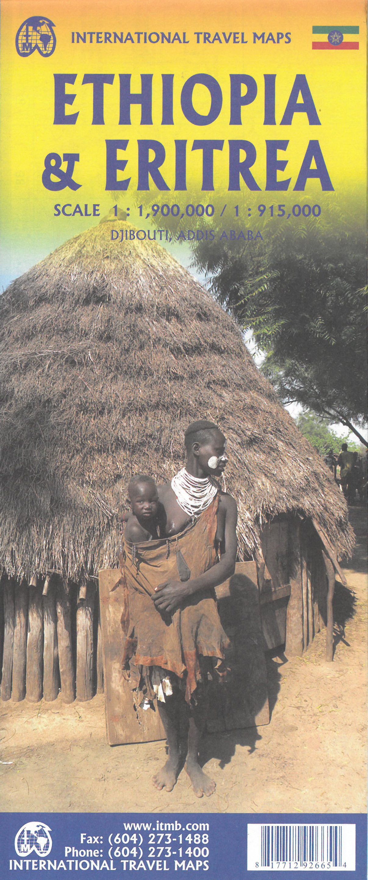
This is the latest updating of one of the most interesting countries in Africa. There isn’t anything brilliantly innovative to report. We have tidied up the different layers of the artwork, have updated the road system, and have added more tourist information. We have also modernized the cover design and changed the ISBN – printed on paper, single-sided, inset map of Addis Ababa.
Legend Includes:
roads by classification, Airports, Ports, Gasolines, Polices, Post Offices, Bus Stations, Hospitals, Schools, Universities, Buildings, Point of Interests, Bridges, Lodgings, Campsites or Huts, Museums, and many more
Double-sided map from ITMB presenting on one side a road map of Ethiopia at 1:2,000,000 accompanied by a street plan of Addis Ababa, with on the reverse Eritrea at 1:900,000 with a plan of Asmara. Both road maps are indexed and show the topography by altitude colouring: in Ethiopia with bands in metres and peak heights given in both metres and feet, and in Eritrea with bands in feet and peak heights either in feet and metres or in feet only.
Road network indicates unpaved roads and seasonal tracks, with driving distances shown on main routes. Also marked in both countries are locations of petrol stations and border crossings. The map indicates local airports and landing grounds and in Ethiopia railway lines are shown. Symbols highlight various places of interest. Latitude and longitude lines are drawn at 1º intervals. Each country has a separate index.
Street plans of Addis Ababa and Asmara highlight various places of interest including selected hotels and other tourist facilities. The map also includes notes on the history, geography, etc, of both countries.


