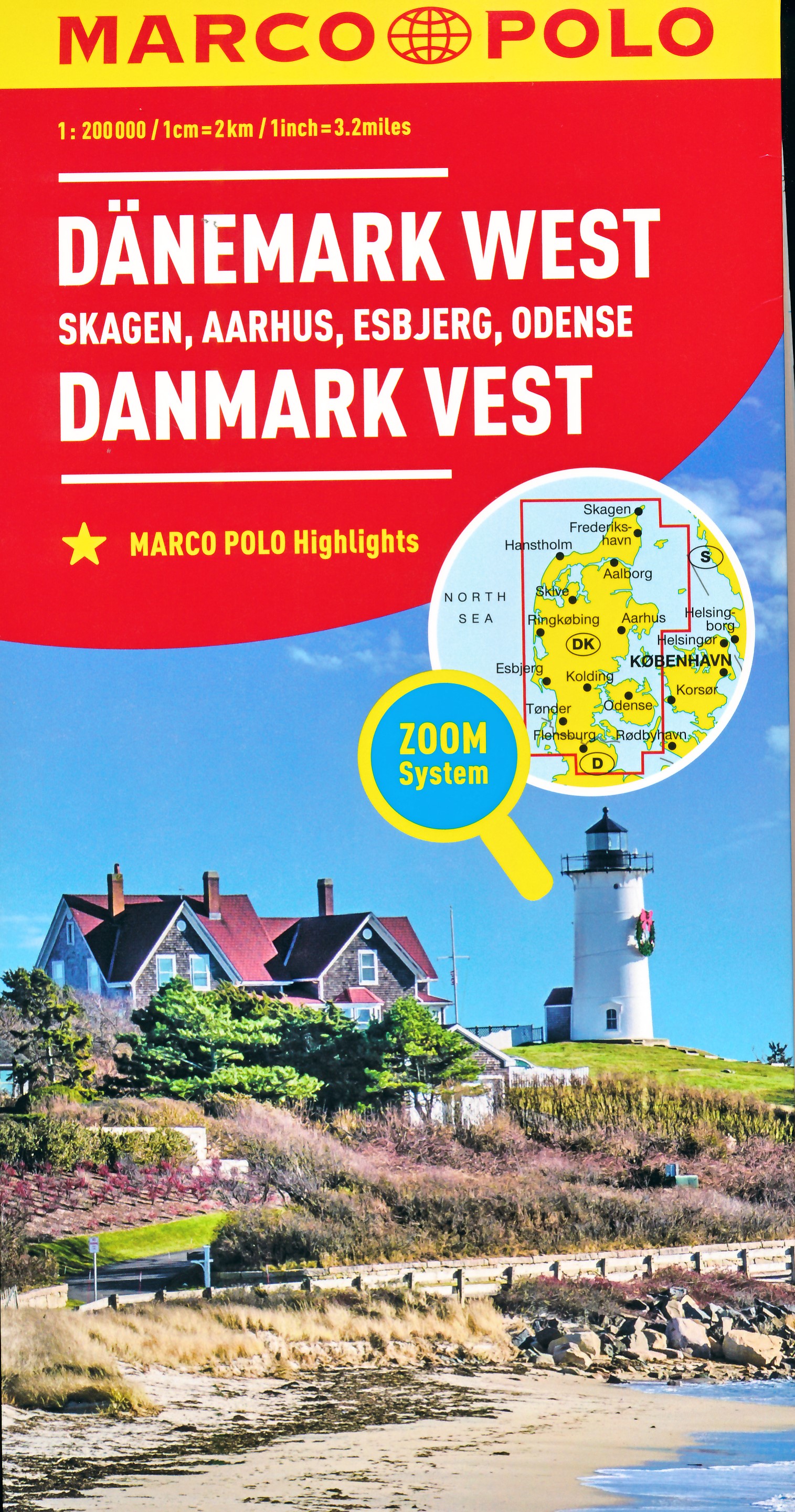
Wegenkaart - landkaart Denemarken West | Marco Polo
Uitstekende deelkaart van Denemarken met als basis een bijna topografische ondergrond. Mooie wegen staan met groen weergegeven en groot voordeel boven de Michelin en Kummerley/Frey series is het feit dat er -weliswaar klein - campings op staan ingetekend. Zeer leesbare kaart, met register en alle noodzakelijke informatie.
The maps retain the publisher’s traditional cartography of this series, boldly stressing main roads and motorways in strong colours and selected towns in large letters, but also showing minor roads and villages in considerable detail. Road information includes toll roads, traffic restrictions, gradient marking for steep roads, routes not recommended for caravans, scenic roads and special tourist routes, etc. Motorway services clearly indicate types of facilities available there. Railway network includes narrow gauge and tourist lines, cable car lines, and chair lifts. Ferry routes are marked.
Picturesque towns and places of interest are given star rating, and other tourist information includes campsites and youth hostels, landmarks, recreational facilities etc. Latitude and longitude grid is drawn at intervals of 10'. Map legend includes English.
Each title comes with a booklet which contains street plans of main cities, plus an extensive index of place names showing full postal code for each locality. Also included is a table with distances and traveling times.
€ 13,95
Verzendkosten: € 2,95Nu bestellen bij De Zwerver

