
Wegenkaart - landkaart India North & West | ITMB
Een degelijke kaart met aanduidingen van o.a. nationale parken, vliegveld, benzinepomp, dirt-roads en kleine plattegrond van hoofdstad. Als overzichtskaart goed te gebruiken.
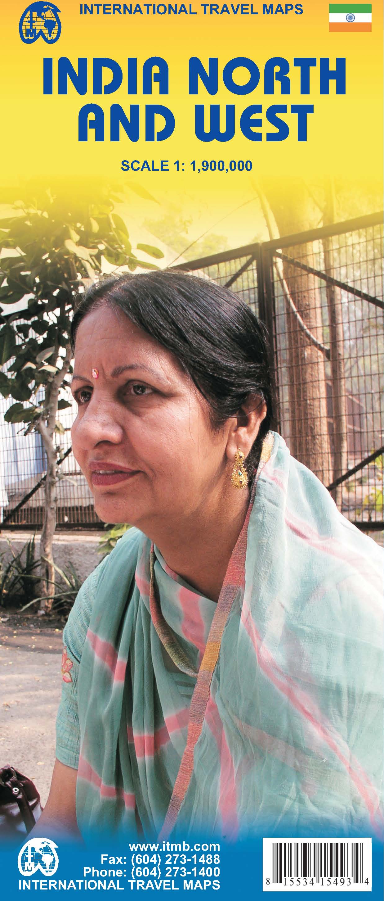
Northern and western India on a double-sided, indexed map from ITMB, providing on each side useful coverage of some of the country’s most visited areas. Each side of the map has a separate index of localities.
The northern side is centred on Delhi and extends north to the Line of Control dividing Jammu and Kashmir. Coverage east along the Ganges extends beyond Varanasi; west to Jodhour, the outskirts of Ahmadabad and to Vadodara (Baroda); and south to Nagpur, the geographical centre of India.
The western side of the map extends from Delhi to Bangalore and Mysore, and inland beyond Hyderabad, so includes Mumbai and Goa.
The map has altitude colouring (in feet) and shows the country’s road and rail networks and local airports. Symbols highlight various places of interest including historic or scenic sites, hill stations, temples and other religious buildings, castles and forts, national parks and wildlife reserves, beaches, boating and rafting facilities, etc. Latitude and longitude lines are drawn at intervals of 2°. Each side of the map has a separate index of place names.
€ 13,95
Verzendkosten: € 2,95Specificaties
Merk:
n.b.
EAN:
Je bestelt bij:
De Zwerver
Categorie:
Subcategorie:
Maat:
n.v.t.
Materiaal:
n.v.t.
Levertijd:
Aantal beschikbaar:
n.b.
Verkoopprijs
€ 13,95
Prijzen vanaf:
n.v.t.
Verzendkosten:
€ 2,95
ISBN:
9781553415497
Editie:
01-01-2009
Uitgever:
ITMB
Beschrijft het volgende gebied:
Azië - India - Ladakh
Taal:
Engels
Direct bestellen: