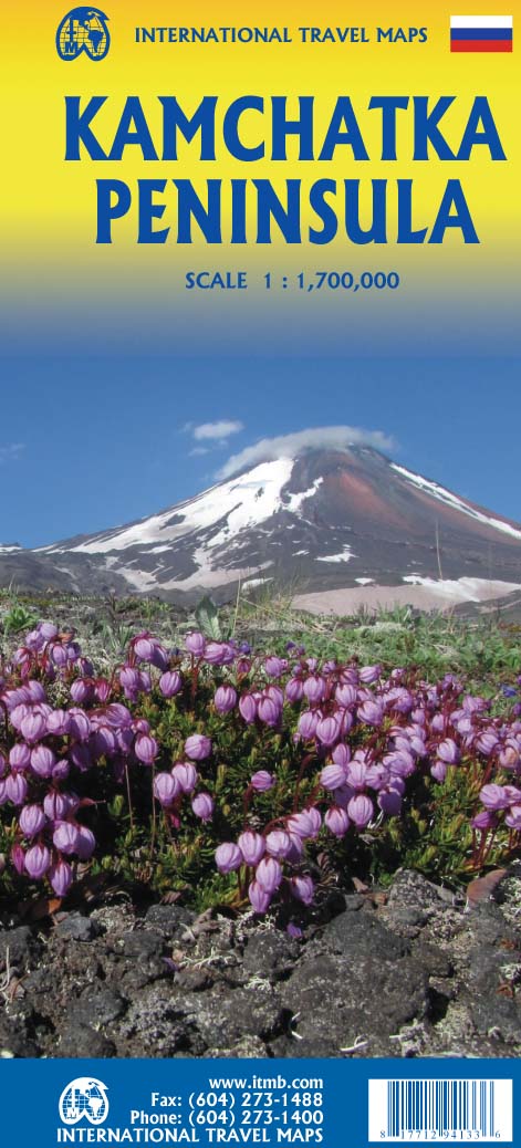
Wegenkaart - landkaart Kamchatka Peninsula & Russia Far east | ITMB
Een degelijke kaart met aanduidingen van o.a. nationale parken, vliegveld, benzinepomp, dirt-roads en kleine plattegrond van hoofdstad. Als overzichtskaart goed te gebruiken.
Schaal: Kamchatka 1 : 1,700.000 & Eastern Siberia 1 : 3.600.000
This is the most recently released title in our Russia series. In this revised edition, we have expanded the area of coverage to include the portion of Russia known as the Far East Republic and the eastern portions of Siberia (in January, we released Siberia itself). Lets start with the Kamchatka peninsula itself. This is a very interesting adventure travel destination, famous for its geothermal geysers and its isolation from the rest of Russia. There is only one city of any size, Petropavlovsk Kamchatsky (which I genuinely hope is colloquially known as PK), the capital and location of the peninsula only significant airport. We have included an inset map of the city. We also include a map of the famous Valley of Geysers (south of Klyuchi). Interestingly, the peninsula has a town called Esso. The other side of the sheet portrays a vast region from the Russian occupied island of Sakhalin and the Okhotsk Sea north to that portion of what we call the Arctic Ocean but is really a series of seas (this one being the East Siberian Sea) and west to the Lena River. The Trans Siberian railway west towards Moscow is shown, as well as connections into Mongolia and China. This is not a well known region of Russia and is definitely for the adventurer (I would love to hear from anyone who has stayed at the hotel in Novaya Chara, which is as close to being the middle of nowhere I can imagine. Actually, this portion of Russia is loaded with hotels and camping grounds. The map also shows a fascinating road going from close to the border with China all the way to a bay on the ocean. That would be quite a trip to take!
€ 13,95
Verzendkosten: € 2,95Nu bestellen bij De Zwerver

