
Wegenkaart - landkaart Korea (Noord en Zuid) | Nelles Verlag
Goede kaart van Noord- EN Zuid Korea. Aan beide kanten bedrukt. Met veel toeristische aanduidingen als nationale parken en culturele bezienswaardigheden. Prima leesbare kaart.
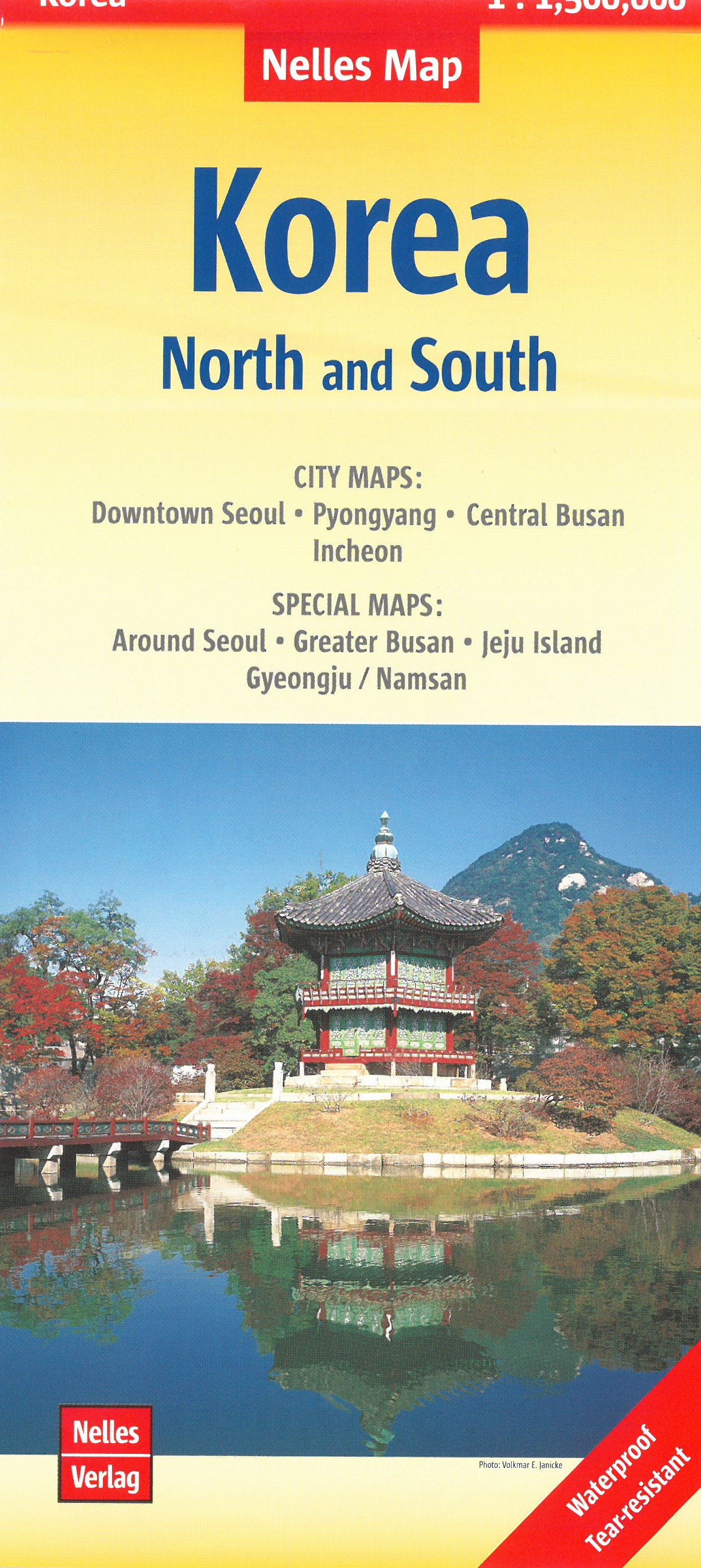
Folded road and tourist map of both North and South Korea at 1:1 500 000 scale. Places of interest, national parks, beaches, and ferry routes are all highlighted and shaded-relief colouring clearly depicts the topography.
The map includes an inset showing central Soul (Seoul) at 1:20 000. The legend is in English, French and German.
For over 20 years Nelles maps have been renowned throughout the world for their quality, faithfulness to detail and up-to-dateness.
So that streets, ferry links, railway lines, etc are always up to date, Nelles are continuously upgrading their maps - with the help of their international team of correspondents. Roads are provided with an exact kilometerage. Sights are highlighted extra clearly so that you don't miss any tourist attractions.
A good map must be hard-wearing and allow itself to be folded up simply and quickly. Nelles Maps are a handy pocket size with the reliable, practical concertina fold. In addition they use an extra high-quality speciality paper resulting in considerably increased fold strength.
Central Seoul 1 : 20.000
CITY MAPS: Downtown Seoul, Pyongyang, Central Busan, Incheon.
SPECIAL MAPS: Around Seoul, Greater Busan, Jeju Island, Gyeongju/Namsan.
€ 11,95
Verzendkosten: € 2,95Specificaties
Merk:
n.b.
EAN:
Je bestelt bij:
De Zwerver
Categorie:
Subcategorie:
Maat:
n.v.t.
Materiaal:
n.v.t.
Levertijd:
Aantal beschikbaar:
n.b.
Verkoopprijs
€ 11,95
Prijzen vanaf:
n.v.t.
Verzendkosten:
€ 2,95
ISBN:
9783865742902
Editie:
01-01-2020
Uitgever:
Nelles Verlag
Beschrijft het volgende gebied:
Azië - Noord-Korea -
Taal:
Duits - Engels
Direct bestellen: