
Wegenkaart - landkaart Northwest Territories | ITMB
Een degelijke kaart met aanduidingen van o.a. nationale parken, vliegveld, benzinepomp, dirt-roads en kleine plattegrond van hoofdstad.
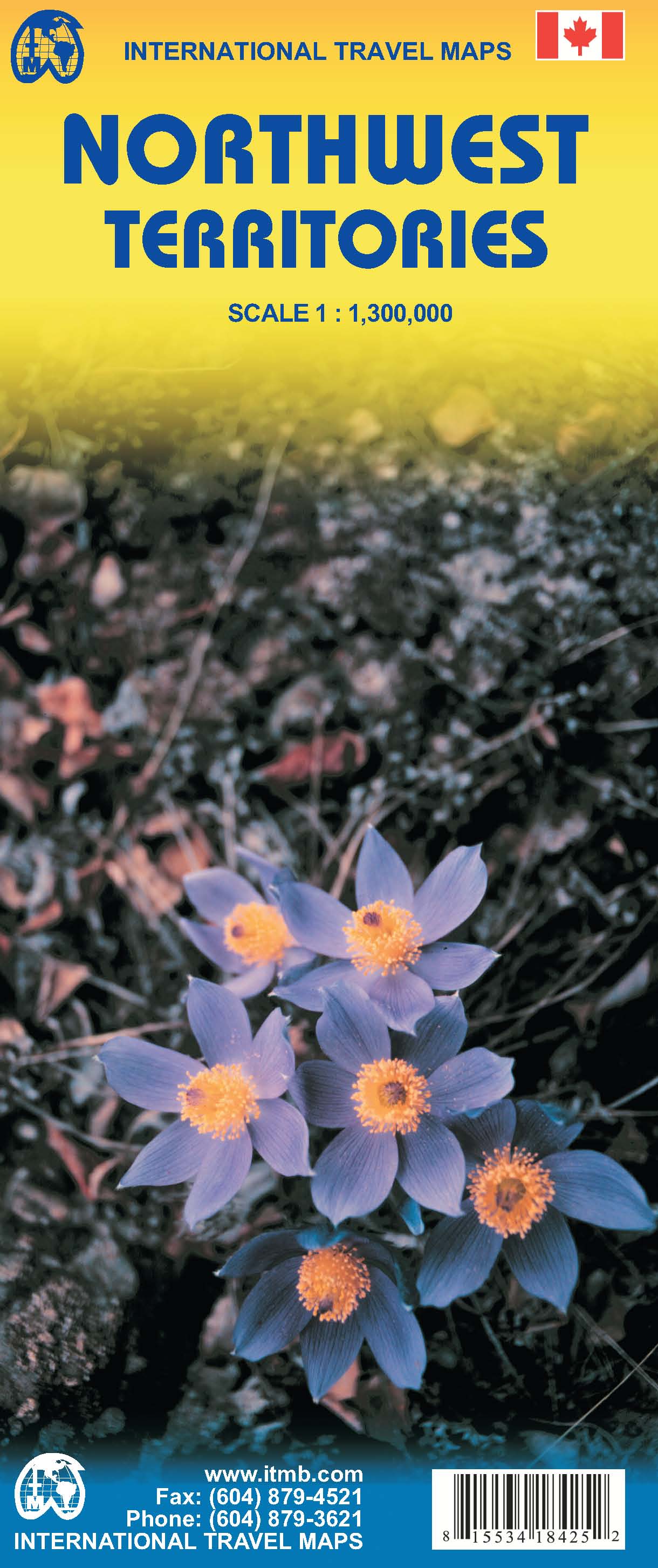
This detailed map of Canada's Northwest Territories covers the entire Territory and includes a bit of the eastern Yukon and the westernmost part of Nunavut, Great Bear and Great Slave Lakes, the high Arctic islands, and an inset map of Yellowknife (the capital). The map is printed on both sides. Legend includes roads by classification, provincial borders, time zones, lakes, rivers, glaciers, protected areas, day-use areas, visitor information centers, points of interest, skiing areas, medical services, gas stations, and other information.
€ 13,95
Verzendkosten: € 2,95Specificaties
Merk:
n.b.
EAN:
Je bestelt bij:
De Zwerver
Categorie:
Subcategorie:
Maat:
n.v.t.
Materiaal:
n.v.t.
Levertijd:
Aantal beschikbaar:
n.b.
Verkoopprijs
€ 13,95
Prijzen vanaf:
n.v.t.
Verzendkosten:
€ 2,95
ISBN:
9781553418429
Editie:
2008
Uitgever:
ITMB
Beschrijft het volgende gebied:
Noord-Amerika - Canada - Canada West
Taal:
Engels
Direct bestellen: