€ 15.95
Wegenkaart - landkaart Iconic Map Central Australia - Centraal Australië | Hema Maps

Detailkaart van een deel van Australië. Zeer goed leesbaar, met naast de topografische details veel symbolen waarmee allerhande toeristische zaken worden aangeduid als campsites, nationale parken, attracties, wandelmogelijkheden etc.

This waterproof map of the Central Australia region is ideal for discovering some of Australia's most iconic landscapes. The main map covers the area around Alice Springs, including Uluru, Kata Tjuta, West MacDonnell Range, as well as the Simpson Desert and popular tracks such as the Canning Stock Route.


It also features additional information relating to permits, useful contacts and historical context surrounding some of the area's most popular tourist destinations. 


PRODUCT FEATURES


GPS surveyed roads and tracks

Fuel stops

4WD tracks

Camping areas

Historic sites

Detailed inset maps

€ 13.95
Wegenkaart - landkaart Caucasus - Kaukasus | ITMB

Een degelijke kaart met aanduidingen van o.a. nationale parken, vliegvelden en grote wegen. Als overzichtskaart goed te gebruiken. Tweezijdig.

The traditional geographic border between Europe and Asia has been the mountainous region between the Black and the Caspian Seas. This double-sided map shows the entire region in excellent detail, with Georgia on one side, and Armenia and Azerbaijan on the other. The map also has insets of Yerevan and Tbilisi and Baku. It also shows significant touristic sites, churches, fortresses, and museums. This map would be ideal for anyone exploring all three countries during one visit. 

Legend Includes:
Roads, tracks, accommodations, tourist info, parks & reserves, ruins / archaeological sites, ferry routes, hydrography / elevation info.

€ 13.95
Wegenkaart - landkaart Brazilië | ITMB

Een degelijke kaart met aanduidingen van o.a. nationale parken, vliegveld, benzinepomp, dirt-roads en kleine plattegrond van hoofdstad. Als overzichtskaart goed te gebruiken.

Brazil, or more properly, Brasil, is a difficult country to map as a country, in that most of the developed areas are in the relatively small extreme south of the country. The vast region of the Amazon Basin is lightly populated and is not easy to access. Our solution has been to portray the south portion on one side at a detailed scale, to enable such locations as Rio and Sao Paulo a better scale to help travellers, while mapping the north at a respectable but more limited scale on the That said, one still needs both sides of the map, as Brasilia, the capital, falls on the north side other side of the sheet. I should also note that roads north of Brasilia tend to be less well-paved than those in the south. The  shape of the country also presents mapping difficulties, in that little room is available for inset maps. We have been able to include a good inset of central Rio, but visitors to Brasil would be well-advised to take along ITM maps of Rio and Sao Paulo for an enjoyable exploration. The map is printed on waterproof paper, both for durability and because of the humid climate, and includes a list of the top attractions. 


zuiden 1 : 2.200.000

noorden 1 : 4.500.000

€ 11.95
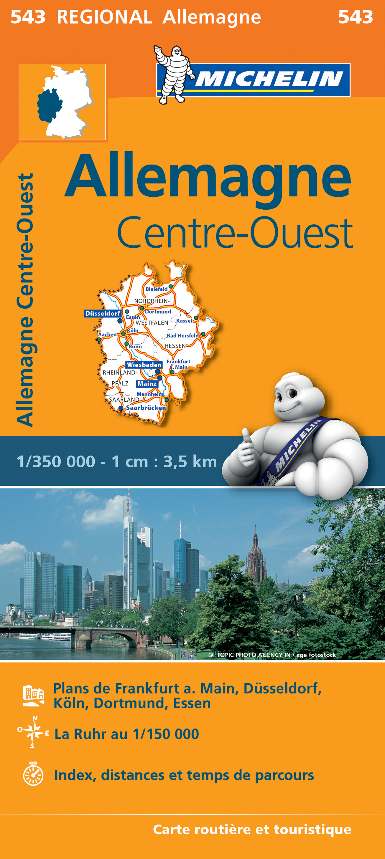
Wegenkaart - landkaart 543 Nordrhein-Westfalen | Michelin

Zoals je van Michelin mag verwachten zijn het onmisbare overzichtskaarten van een uitstekende kwaliteit: een duidelijk en goed leesbaar kaartbeeld.  Vrijwel alle berijdbare wegen staan er op ingetekend, in kleur verschillend voor grote en kleine wegen. Andere weginformatie omvat bijvoorbeeld kilometer-afstanden, tolwegen, helling-aanduiding, winterafsluitingen, tankstations maar ook de bekende groene routes: de mooiste wegen om te rijden.


Daarnaast geeft de kaart toeristische informatie met symbolen weer: bezienswaardigheden als kastelen, kloosters, musea, maar ook campings (niet allemaal overigens). De kaart is voorzien van een 4-talige legenda.


Toch hebben de makers door een beperkt gebruik van symbolen geen drukke kaart gemaakt. De kracht zit hem dan ook in de combinatie van meer dan voldoende informatie en goede leesbaarheid. 

Part of the orange regional series from Michelin, this Germany Midwest map shows this part of Germany in excellent detail. Primary & secondary road networks are clearly marked out with indications of the number of lanes, intermediate distances and various possible road obstacles or things you should know including steep hills, height limits, toll barriers, prohibited roads and roads subject to restrictions.


The map also includes small insets with street plans of Frankfurt, Dusseldorf, Koln and Dortmund, showing road names, one way streets and various places of interest (tourist sights, hospitals, parking, railway stations, etc.). Scenic routes on the map are marked out in green and an extensive index of place names is included.


The map also features:


Administrative boundaries

Railways, Airports and Ferry Services

Important sights such as castles, ruins, and churches

Driving Times and Distance Charts

Road Safety Information

A legend in multiple languages, including English


Allemagne Centre, Allemagne Nord, Dortmund, Düsseldorf, Essen, Frankfort, Köln

€ 14.95
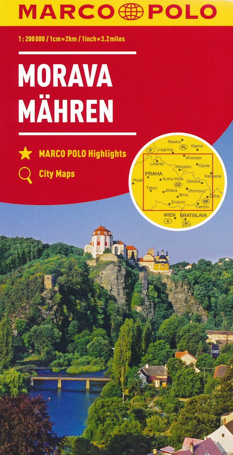
Wegenkaart - landkaart Moravia - Tsjechie | Marco Polo

Uitstekende deelkaart van ht oostelijk deel van Tsjechië  . Met informatie als benzinepompen, kilometerafstanden, toeristische symbolen. Met index en enkele stadsplattegronden.

Hauptkarte im Maßstab 1:200 000, beidseitig bedruckt/ Übersichtskarte zum Ausklappen/ Entfernungstabelle/ Index: mehrsprachige Legende (CZ, D, GB, F, I, E, SK, PL)/ Marco Polo Highlights/ 7 Citypläne: - Brno - Hradec Králové - Jihlava - Liberec - Olomouc - Opava - Ostrava/ Verkehrsinformationen/ Reiseinformationen/ Blattübersicht mit Verwaltungseinheiten/ Ortsregister mit Bezirk, Postleitzahl und Suchfeldangabe"


"Mit landschaftlich schönen Strecken und Sehenswürdigkeiten, Erdgas-Tankstellen, Citypläne, mehrsprachige Legende, Übersichtskarte zum Ausklappen, Verkehrsinfos, Reiseinformationen, UNESCO Welterbestätten, Entfernungstabelle, Ortsregister"