€ 15.95
Wandelkaart - Wegenkaart - landkaart St Helena & Dependencies | Gizi Map

Met name door het kleurgebruik een mooie kaart: heel duidelijk wordt het landschap weergegeven. Daarnaast veel topografische details. 

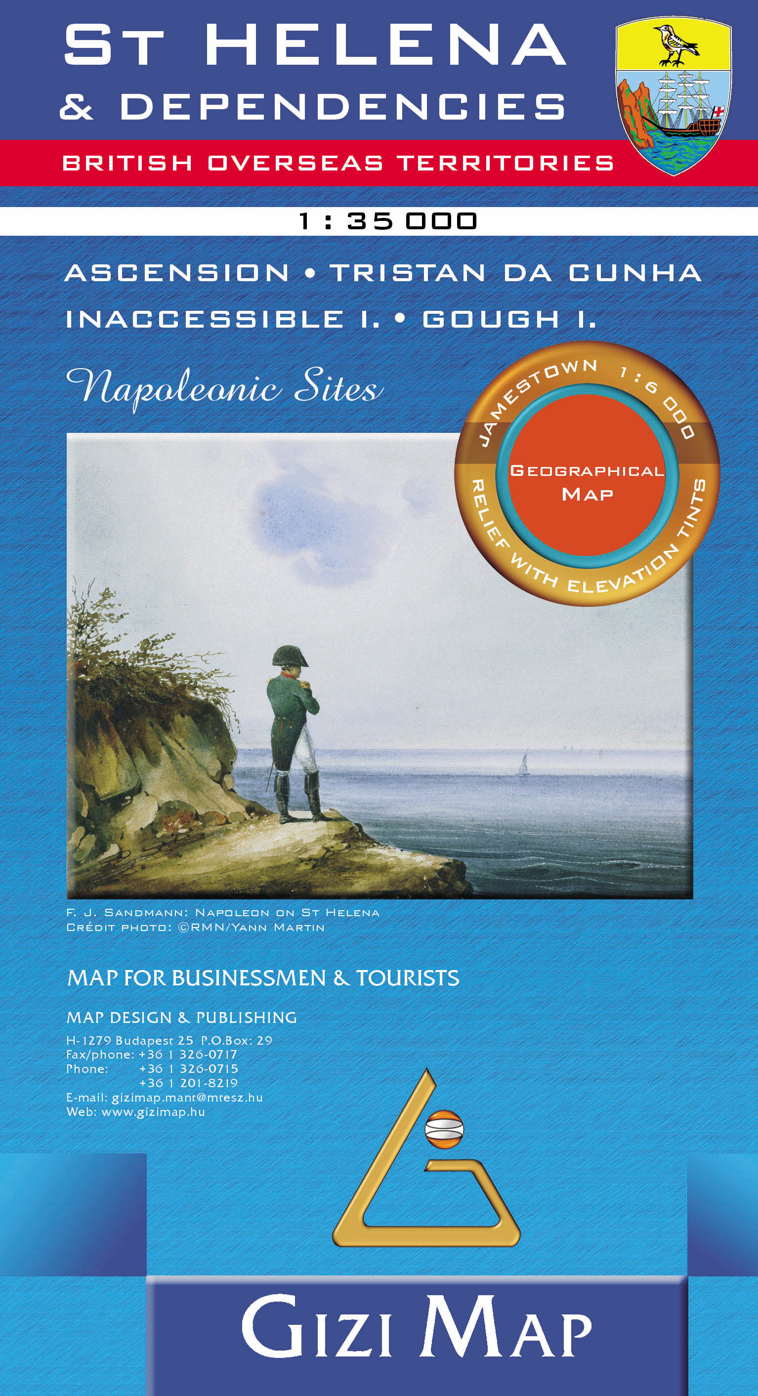
St. Helena at 1:35,000 from Gizi Map, with the other islands of the British Overseas Territories in the Atlantic: Tristan da Cunha, plus Ascension, Inaccessible and Gough Islands at 1:75,000, with superb cartography and places of interest. 


The map excellently presents the topography of all the islands, with bright colouring and vivid relief shading, accompanied by spot heights and names of many peaks, valleys and other geographic features. Small settlements and many individual buildings are shown, roads and local tracks are marked. On St. Helena hiking trails are also highlighted and local administrative boundaries are marked. 


The map indicates locations with tourist accommodation and prominently shows various places of interest. Special highlighting marks sites associated with Napoleon’s exile on St Helena and the map also shows the boundary of the territory assigned to the deposed emperor. Also provided is a street plan of Jamestown. 


The remaining islands: Tristan da Cunha, Ascension Island, Gough Island and Inaccessible Island are all presented as separate insets at 1:75,000, with similar cartography and additional information. All the maps have latitude and longitude lines: St Helena at 1’ intervals, the other islands at 2’. There is no index. Map legend includes English and French. 


€ 17.95
Wandelkaart HN Tazenakht - anti Atlas oost (Marokko) | EWP

Deze kaart maakt deel uit van meerdere gedetailleerde topografische kaarten van het Atlas Gebergte en de daaraan grenzende woestijnen. Elke kaart heeft lokale toeristische info op de achterzijde en is in het Frans en Engels beschreven


Hoogte in hoogtelijnen met 40m interval en een aantal punten. Verdere vermelding van terreinsoort, vegetatie, waterpunten, kliffen, duinen, ravijnen, zoutpannen etc. Bij wegen onderscheid in onverhard, verhard en tracks. Bebouwing, vliegvelden, stations, elektrische leidingen. Voor sommige passen is er een indicatie wanneer deze begaanbaar is.


De uitgever EWP meldt dat deze kaarten geschikt zijn voor het gebruik van GPS: "The main grid drawn over the mapping is based on the Kronstadt system which related closely to the UTM system, and which the publishers assure us is suitable for a GPS set to UTM or MGRS".

€ 14.95
Wandelkaart - Wegenkaart - landkaart El Hierro | Freytag & Berndt

Freytag & Berndt kaarten op schaal 1:50.000 (of kleiner) zijn zeer overzichtelijk, wandelpaden werden erop ingekleurd, ze bevatten voldoende details om een wandeltocht in te schatten.

Overigens vinden wij dat de Freytag & Berndt kaarten van de Spaanse en Portugese eilanden iets meer gericht zjin op algemeen toerisme en iets minder op wandelen; voor wandelen raden we toch de Kompass - kaarten serie aan die van de meest eilanden ook voor handen is.

The island of Hierro at 1:30,000 on a contoured, GPS compatible tourist map from Freytag & Berndt highlighting various places of interest, as well as waymarked hiking routes. Contours at 50m intervals are enhanced by bold relief shading and names of numerous peaks to provide a very clear picture of the island’s topography. 

Road network includes local roads and country tracks, indicating locations of petrol stations and driving distances on main routes. Picturesque towns and villages or sites are clearly highlighted, and symbols mark other places of interest including beaches, campsites, viewpoints, lizard reserves, etc. Also provided is a list of bus routes.


For walkers the map highlights waymarked hiking routes.

€ 14.95
Wandelkaart - Fietskaart - Wegenkaart - landkaart Faroer Eilanden - Foroyar | Solberg - Freytag

Bijzonder gedetailleerde kaart van alle eilanden van de Faroer. In samenwerking met een lokale kaartenmaker heeft Freytag und Berndt een hele goede kaart gemaakt met onder andere wandelpaden, hoogtelijnen, het complete wegennet en een plattegrond van Torshavn. Daarnaast zijn de bootverbingen ingetekend, worden de campings aangeduid en zijn de jeugdherbergen weergegeven. 

€ 14.95
Wandelkaart - Wegenkaart - landkaart Ibiza - Formentera | Freytag & Berndt

Gedetailleerde wegenkaart van Ibiza en Formentera die ook als wandelkaart goed te gebruiken is. Er staan ook een aantal wandelingen ingetekend. Toeristisch belangrijke zaken als stranden, bezienswaardigheden, vuurtorens, maar ook zaken als benzinepompen staan met symbolen aangegeven op deze kaart.

Nadeel is het feit dat deze niet geplastificeerd is en tegelijk een behoorlijke lap papier is, het vergt regelmatig vouwen.


€ 14.95
Wegenkaart - landkaart Malta Gozo | Freytag & Berndt

Goede wegenkaart van Malta, die gezien de schaal ook uitstekend als wandelkaart te gebruiken is.

Road and tourist map of Malta and Gozo that uses shaded-relief and contour lines to depict elevation. Map shows major highways and roads, scenic routes, footpaths, ferry routes, ports, distances in kilometers, natural features, parks, and places of interest. Insets of Valletta & Sliema and regional map that shows the islands in relationship to Sicily. Legend in German, English, French, and Italian.